British Columbia Roads - Marine Dr., W. Vancouver
Marine Drive, West Vancouver


A collection of older infrastructure on Marine Dr. WB. The only historic part of the Godman Creek bridge visible from the top is the abutment, while Cypress Creek has a bit more going for it. Marine Drive ends at the roundabout depicted in the last photo.

Lions Gate Bridge, looking east from Suicide Bend Park. Apparently this spot in the road was once dangerous, though the traffic and low speed limits today render it just a name.


Heading west under the railway at 31st St. in West Vancouver, then looking north under it at Creey Ave. and Oxley St. This single-track line is important over 100 years after the first bridge, as it connects to the CN rail yards in Squamish.


EB with BC 99 SB at its departure from Marine Dr., WB with BC 99 NB at the other end of the concurrency (BC 99 turns right though). These may still be BC 1A EB and WB, respectively, according to BC's route log, but if it exists, BC 1A ends midspan on Lions Gate Bridge, so we'll ignore it.

Marine Drive WB at Lions Gate Bridge in 2004, where you can see BC 1A isn't signed toward Vancouver... so, again, why bother signing it at all? Note that two lanes leave the highway - two lanes also leave BC 99 SB, aka Marine Drive EB. At best, four lanes merge into two to get onto the bridge, but sometimes (PM rush hour, for example), they all merge into one. Backups tend to last about 20 minutes to a half hour when this happens.

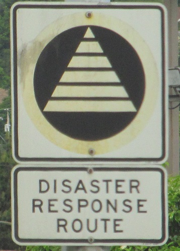
Until the current trail system was built a few years later, pedestrians crossing the river had to walk along the WB ramp shoulder until the bridge sidewalk begins. Gee, that's perfectly safe, especially with traffic merging from the right just around the trumpet-ramp counter-clockwise bend. This sign let a few pedestrians leave for Park Royal and the bus loop.
Onto BC 99
Back to British Columbia Roads
Back to Roads