British Columbia Roads - BC 93
BC 93
Photos progress southward and were taken SB unless otherwise noted.

The first sign over from Alberta is the continental divide. In theory, a perfectly drawn border should split this sign down the middle.


SB moose, NB dog. Standard BC sign, standard Canadian National Park sign. "Attention" works in both languages, but I question why "Lac Dog" can't be "Lac du Chien."


Claustrophobia sets in toward Radium Hot Springs, which for some reason still lets people bathe in radioactive water in the 21st century. I know of no other place where you can drive on a Canadian provincial highway underneath rock outcroppings. Don't think about it.

A cave into the abyss beckons from the narrows.


The last photo has the correct newer font on top. I don't know what's on the other newer shields. BC 93 SB turned left in the first photo, which should be on the same assembly.


Over Dutch Creek.

Over a railway north of Canal Flats. The old alignment in the first photo is now the north part of Findlay Creek Road. It used to curve around to Thunderhill Rd., which has a railway grade crossing instead of an overcrossing, but someone bought the middle section and built their house on the old roadbed. I'm not sure if that part was ever paved, because none of it is now.


Over the Kootenay River twice. The first, Canal Flats Bridge, was built in 1965, replacing a circuitous route that went nearly 5 km upstream before returning. The second, Springbrook Bridge down by Skookumchuck, replaced an older bridge just to the north with a sharper curve on the west side. Its vintage is not stamped in a parapet, though.

Speaking of the circuitous route, here's a look back north at a small piece of it by the road into Whiteswan Lake Provincial Park.


BC 93 loses BC 95 at the BC 3/Crowsnest Hwy. interchange. BC 95A is an older, more circuitous routing of BC 93/95 through Kimberley.

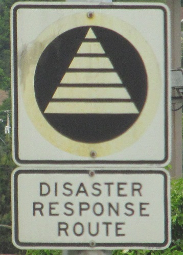
Heading toward the border, I have no idea what this sign is supposed to mean. I'm sure it's something like a tree planting area, pesticide testing, asphalt, striping, deicing... testing something. Maybe testing sign printing, in which case this failed. But it shouldn't look like it's meant to be read by approaching traffic.

This one always gets me. First sign across so many Canadian border crossings tells you that 60 mph = 100 km/h. It's a lie. They want you to go slower. Drive 62. Also, Americans wouldn't recognize the sign on the left, so why not put up a "Speed Limit 60"?
Onto BC 3 and BC 93/3
Into Alberta on 93
BC 93 Non-Roads
Back to British Columbia Roads
Back to Roads