British Columbia Roads - Dawson Creek
Dawson Creek

Here's the scene at the "official Mile 0." Alaska Avenue, a handful of plaques, big touristy sign. That checks out. While this is not the historic Mile 0, it's close enough for photography.


The big sign with the BC, Canadian, and USA flags is apparently all painted wood. Not what I would have thought.


The monument beneath the sign dates to 1982, though BC engraved its plaque in 1981 and it has worn terribly.

This sign has the US Army Corps and Federal Works Agency on it. Why? Because the USA played a large role in constructing the Alaska Highway as a defense link to its territory, even though most of the work was through Canadian wilderness.

You didn't see this sign in the first photo. This one gives me the most trouble of all - historic Mile 0 is not at this roundabout.

Each exit from the roundabout is signed with a shield. You can see BC 2 heading south and BC 97 heading west, except the road to the west is still part of BC 2, not 97. BC 97 nicks the west corner of town but then heads out again, so the Alaska Highway in fact has two numbers. BC would just as soon gloss over that.
 8th St. crosses a railway heading north from the roundabout.


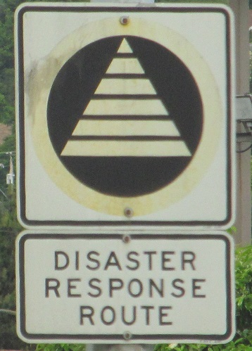
BC 2 heading south out of the circle. This assembly (top and bottom) has since been removed.


You want Historic Mile 0? I got your Historic Mile 0 right here. The former start of the Alaska Hi-Way was at 10 St. at 102 Ave. 10 St. is the continuation of 208 Rd., which was original BC 97. I'm not entirely clear on how the highway got from 102 Ave. to Alaska Ave., unless it simply used 17 St. (which is where 102 Ave. stops being so wide). The first photo is the east side of the post that also graces the Dawson Creek flag atop it (yes, the town has a flag, and it's a roadgeek flag!), then I follow traffic around to the north, west, and south faces.
Follow the Alaska Highway onto BC 97
Dawson Creek Non-Roads
Back to British Columbia Roads
Back to Roads