Arizona Roads - I-8 WB - E. of Yuma
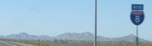
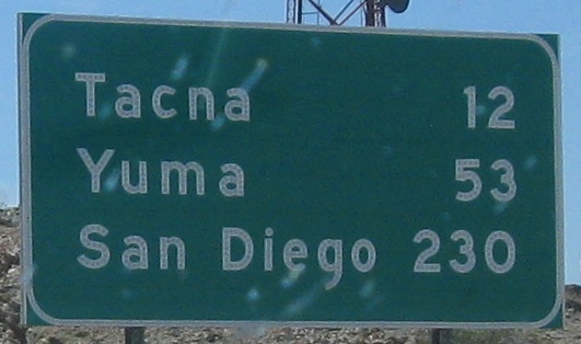
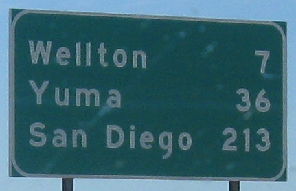
 east of Yuma
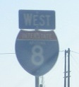
How you know a sign is disappearing. The shield is on I-8 as it's leaving I-10, definitely the first on the route. Both are courtesy Lou Corsaro, as is the shield at top.
How you know a sign isn't disappearing. This relic from old US 80 is seen near Exit 151.
Also courtesy Lou Corsaro.
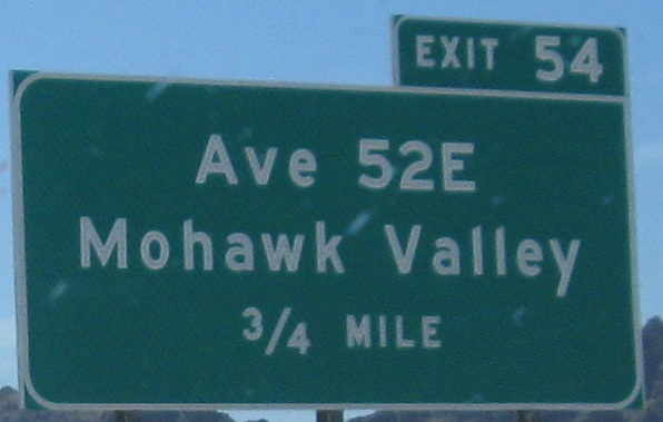
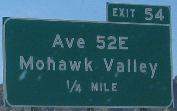
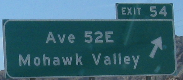
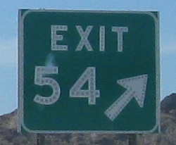
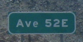
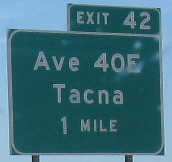
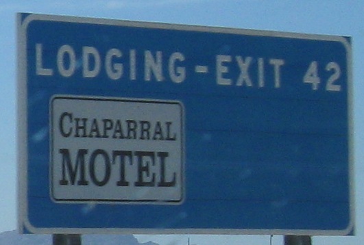
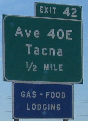
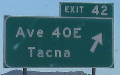
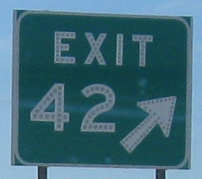
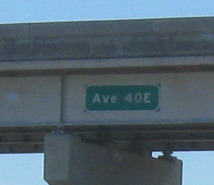
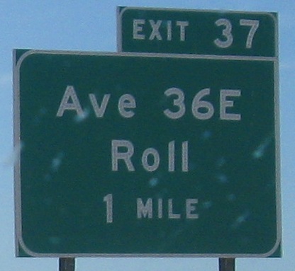
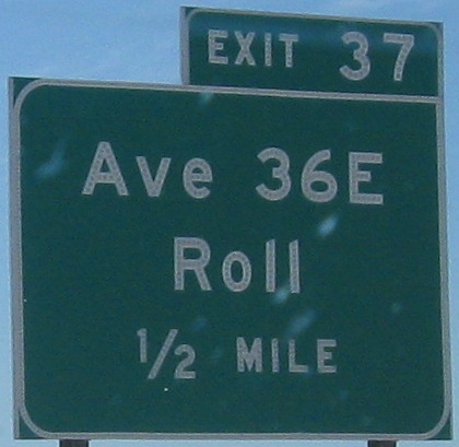
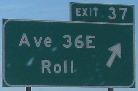
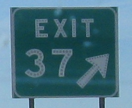
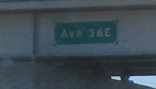
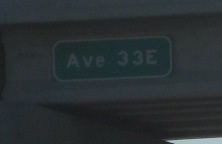
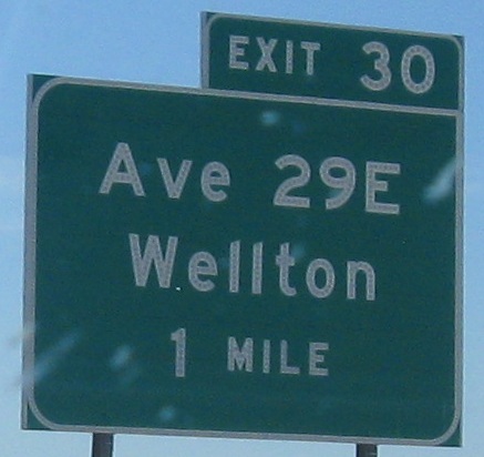
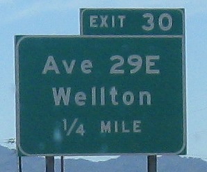
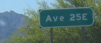
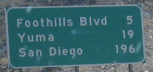
Last photo courtesy Lou Corsaro. Exits 54 and 42 were for Ave. 52E and 40E, but Exit 37 is for Ave. 36E. Clearly there's a grid system at play here. Because I-8 runs at a diagonal, it slowly "catches up" in the westbound direction - which makes more sense if you think of it as "getting farther ahead" in the EB direction. (Each mile east you travel includes some northward distance, so you travel more than a mile, thus gradually separating from the grid.) What's interesting is that Arizona does go west of the 0 point, which seems to be old US 80 through Yuma, halfway between Arizona Ave. (in the spot of Ave. 1E) and Avenue A. The letters make it up to J way out by Gadsden, which US 95 actually follows on its way to Mexico.

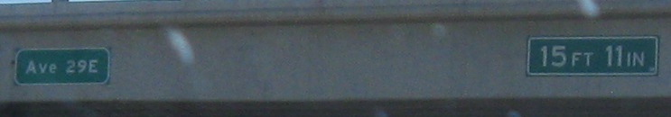
The last exit sign (6th photo) is courtesy Lou Corsaro. Arizona has white-on-green clearance signs up, but that's definitely wrong. They should be black on yellow (warning), but New York uses black on white (regulatory) for its statutory height postings because NY likes to mark clearances down by 12 inches instead of the Federal standard of 6. I don't know what Arizona uses, but those color schemes should be its only choices.
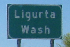
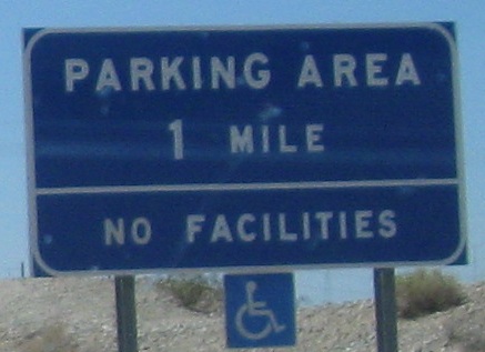
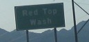
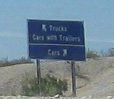
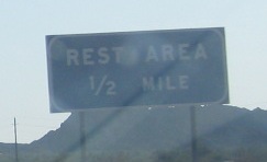
"Red Top Wash" is courtesy Lou Corsaro. I'd like to understand how a rest area can advertise "no facilities" and show a handicap-accessible sign in the same assembly. Isn't the provision of handicapped parking a facility? At least in engineering parlance, facilities are anything provided to the public. Heck, the freeway itself is a facility. So Service Area No Facilities is like saying Free Buffet No Food. (Before you argue with me, a buffet by definition must have food, or else you're not using the word correctly. And no going to definition 12 in OED just to spite me.)
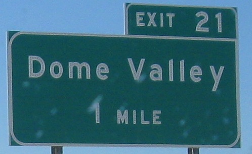
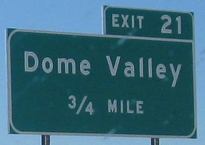
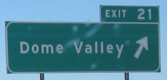
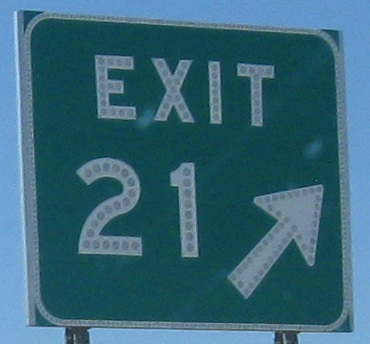
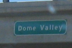
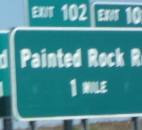
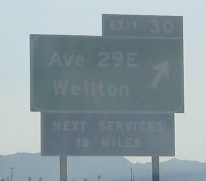
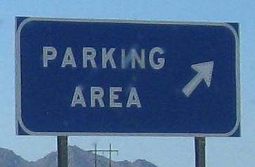
Amazing how an entire valley fits on one little overpass. Arizona has a habit of labeling the overpass to match the exit sign, rather than saying what road is overhead.
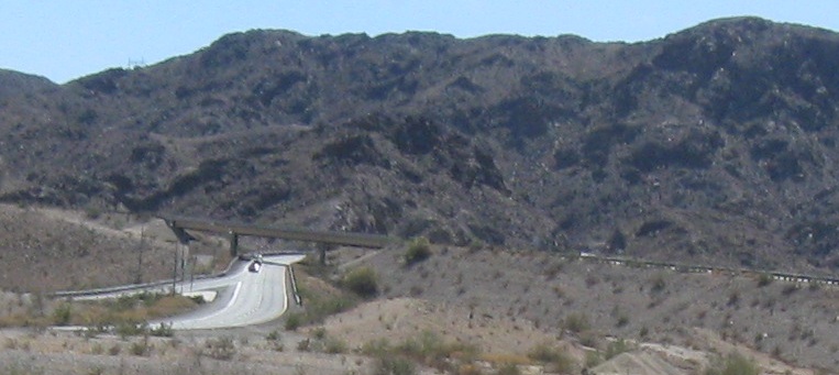
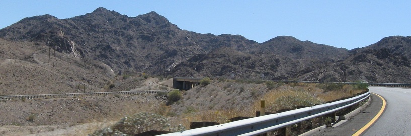
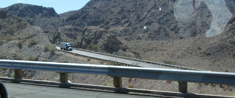
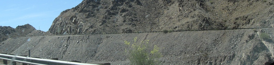
One of the more famous features of the Interstate highway system (for those who study it), I-8 WB crosses I-8 EB and stays on the wrong side all the way through the Gila Mountains. I-8 EB follows the old alignment of US 80, with some modifications for Interstate-standard geometry, while I-8 WB rides up higher on the mountain and one valley over, taking advantage of modern engineering. Ironically, the path of I-8 WB is much closer to the original routing of US 80, but the type of improvements now constructed there weren't envisioned in the 1950s, and so US 50 was moved over by a valley. At their farthest, the roadways are over a third of a mile apart, and the whole crossover lasts about a mile and a half.
Continue west on I-8 WB
Switch to the EB side
Back to I-8 main page
Non-road photos from I-8
Back to Arizona Roads
Back to Roads