Arizona Roads - I-19 SB
I-19 SB
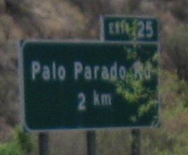
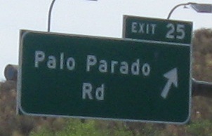
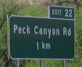
This page has most of the scenery to make up for the lower-quality sign photos, since I was traveling NB when I took all of these.
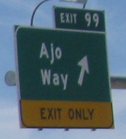
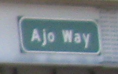
Ajo Way is AZ 86. Bet you didn't know that. I wouldn't have known that either, except the NB signs looked suspiciously oversized. I don't even think it's because they were designed for AZ 86 shields, but it was enough to make me check.
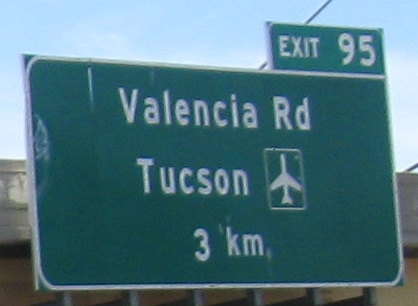
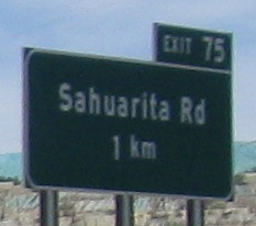
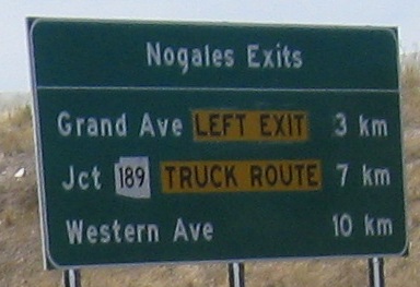
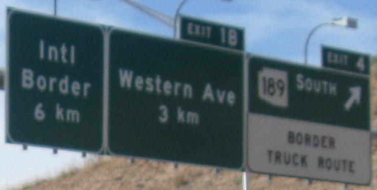
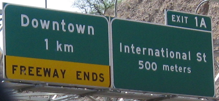
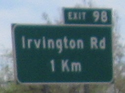 Oops, pulled a capital K out of the parts bin.
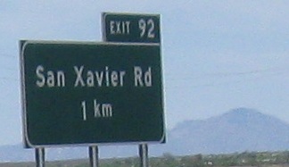
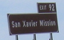
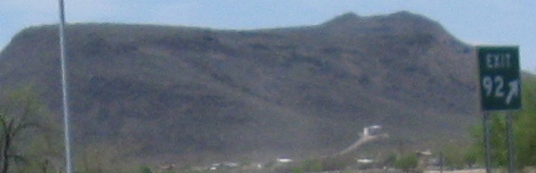
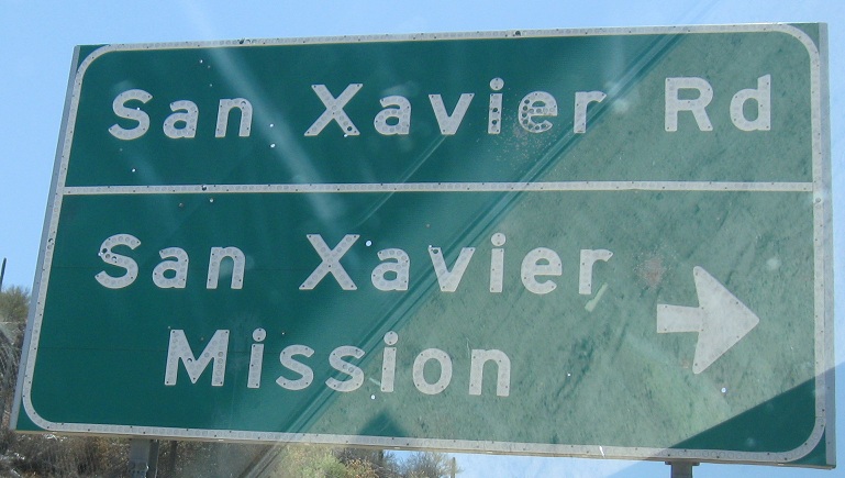
On down the Exit 92 ramp, where there are two button copy signs next to each other. There's more just off the exit, so click through to Exit 92 when you're done reading this page.
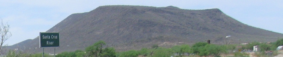
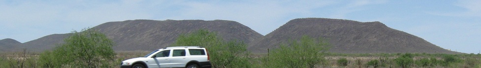
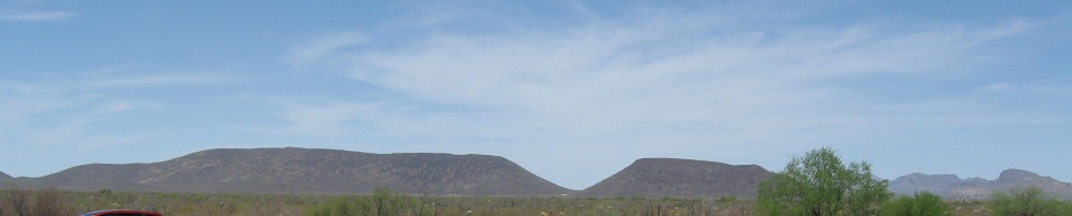
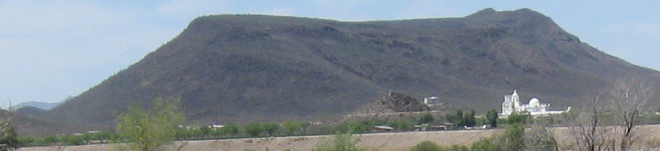
All these photos of that mound to the west, so I'll tell you it's Black Mountain.

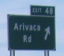
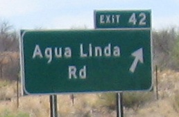
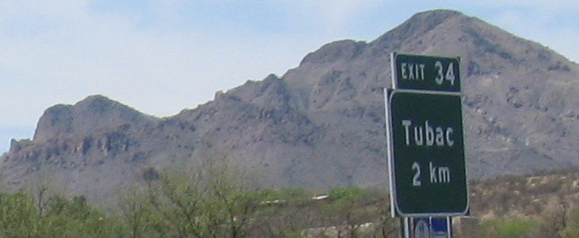
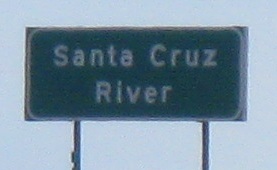
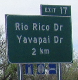
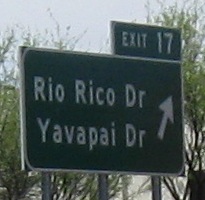
Down to the land where towns are reduced to mere underpasses because Arizona insists on signing crossings at exits the same way they signed the exit. If there's no road name on the signs, there's no road name here.
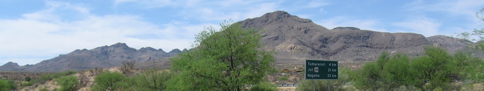
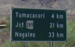
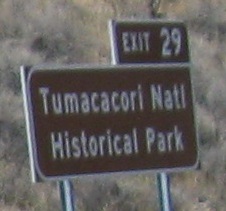
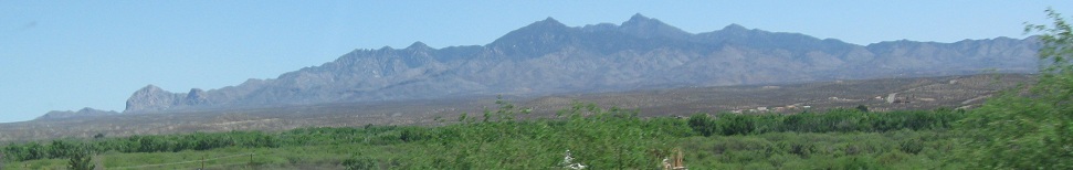
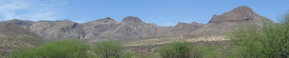
The photo set begins and ends with Tumacacori Peak, fronting the Tumacacori Mountains. Just before the end, I look eastward at the more impressive Santa Rita Mountains in the distance.
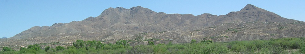
This time, I look east at the San Cayetano Mountains. San Cayetano Peak is to the left and Mt. Shibell is to the right.
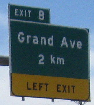
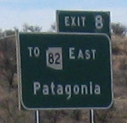
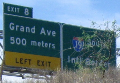
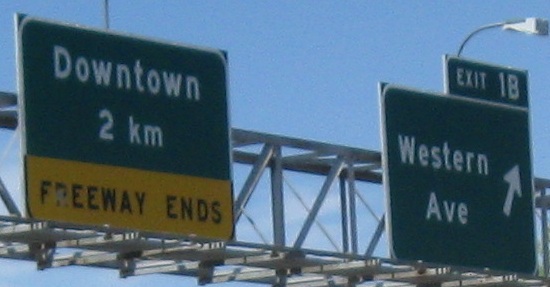
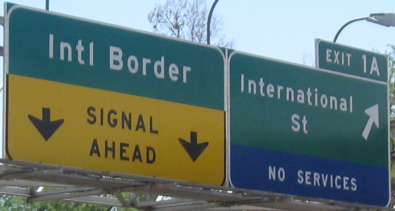
That's it for I-19, which ends when the freeway ends, becoming the reverse-direction Business route. Business I-19 turns north and continues up Grand Ave. to Exit 8, but it's not signed. That's fine, I know better. I also know that among Interstate routes that end at their own Business routes, this is the only one where the Business route is an opposite-direction loop back to the parent.
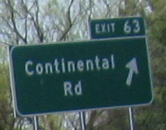
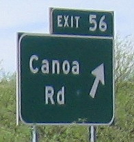
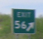
Switch to the NB side from Exit 56 south or from Exit 63 north
Back to I-19 main page
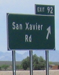
Exit 92 to San Xavier Rd.
Continue south on Business I-19, Nogales
Back to Arizona Roads
Back to Roads