Alberta Highways - AB 216 - Construction
AB 216 construction photos
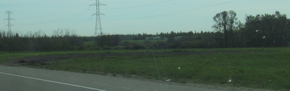
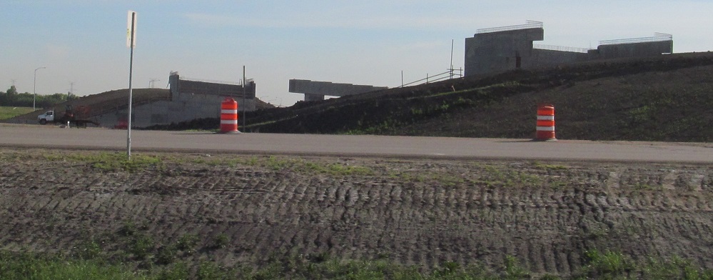
Starting in the northwest quadrant, this isn't so much construction as a lack thereof. This would be the NB loop ramp in a folded diamond interchange at 137 Ave., which I believe will end up being Exit 29 if it's ever built. Development just hasn't warranted the interchange, so it's an overpass only for now.
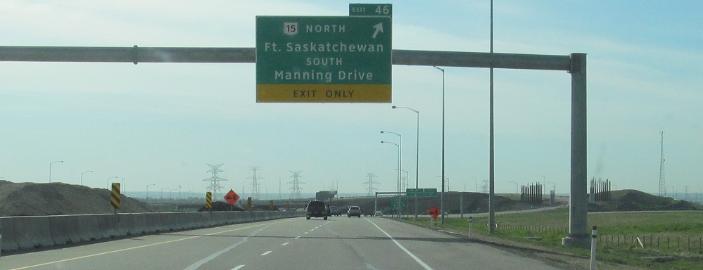
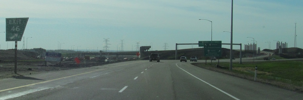
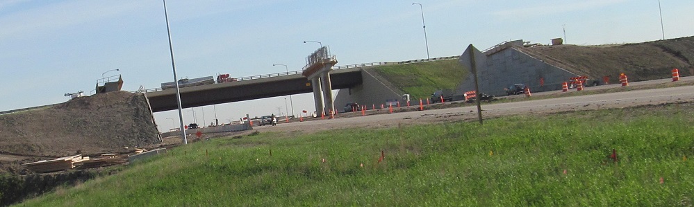
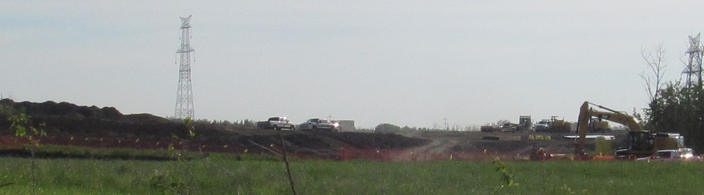
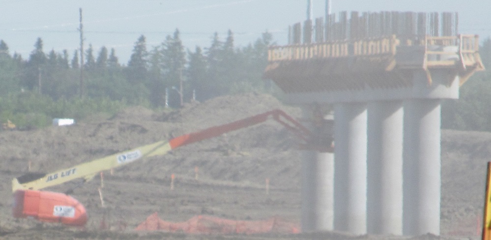
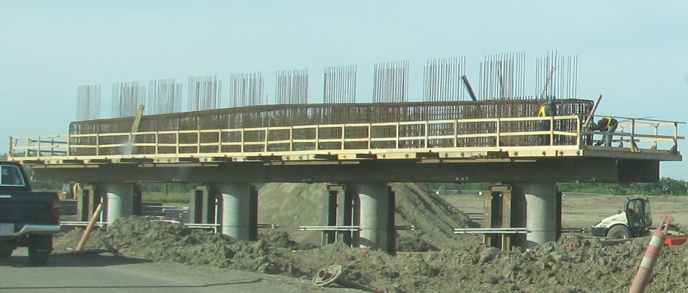
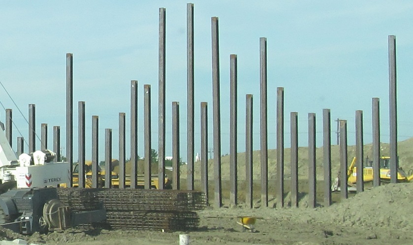
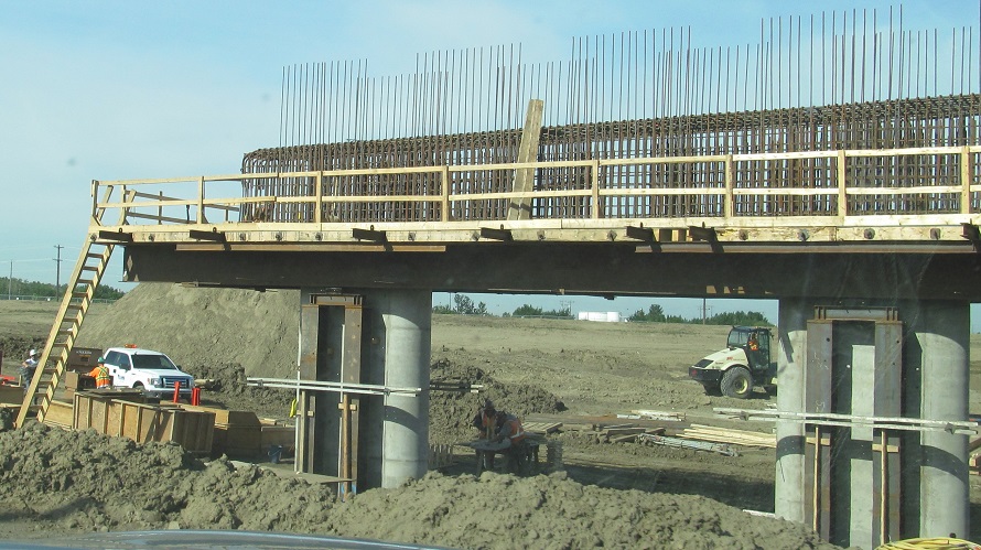
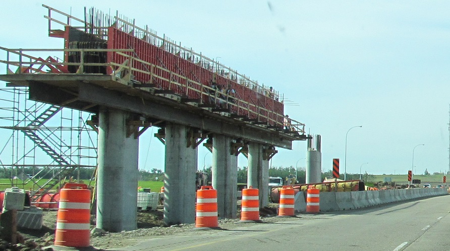
In 2013, this was the end of the road for clockwise traffic on AB 216 EB. Without a bridge over the North Saskatchewan River, traffic had to use AB 15 (a.k.a. Manning Dr.) south to TCH 16 east to get around the gap. (Edmonton appears to have an aversion to signing routes inside Anthony Henday Dr.) You can see the future SB-EB ramp taking shape in these photos with a backdrop of the AB 15 and EB-NB ramps already completed. The road didn't open until 2016, but I take it that the North Saskatchewan River was the last piece and all the other work was done earlier.
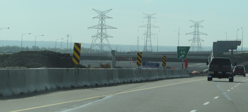
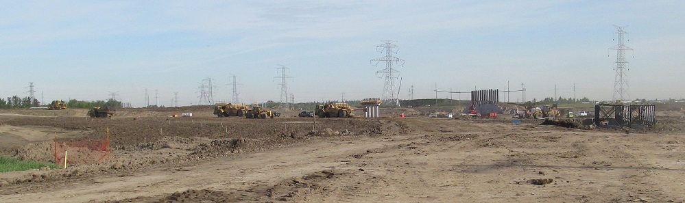
All of these abutments and piers are for the future SB-EB ramp. The interchange is shaped like a bow when viewed from above, and the new ramp will mirror the existing EB-NB ramp (with traffic on it in these photos).
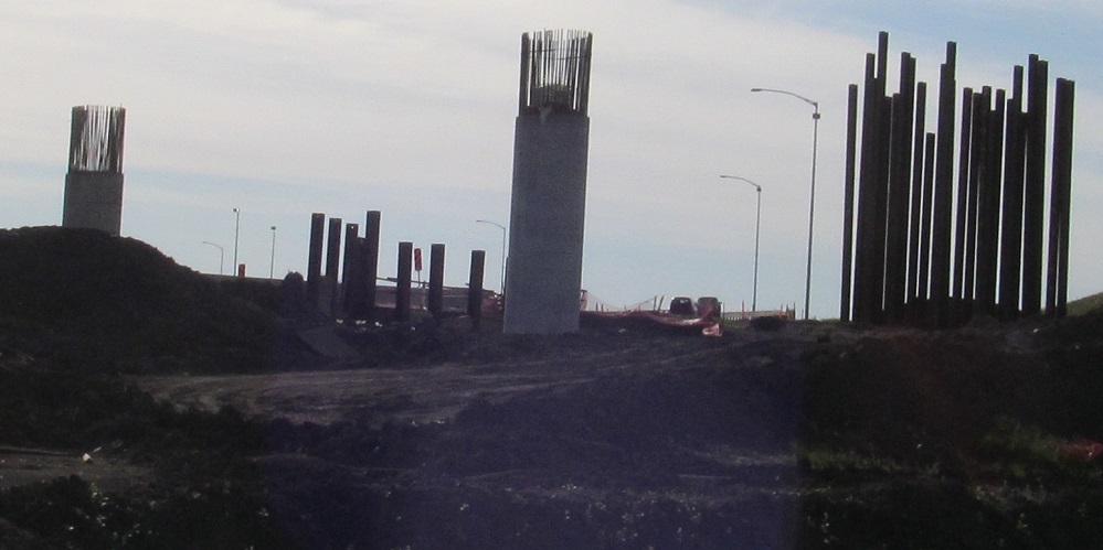
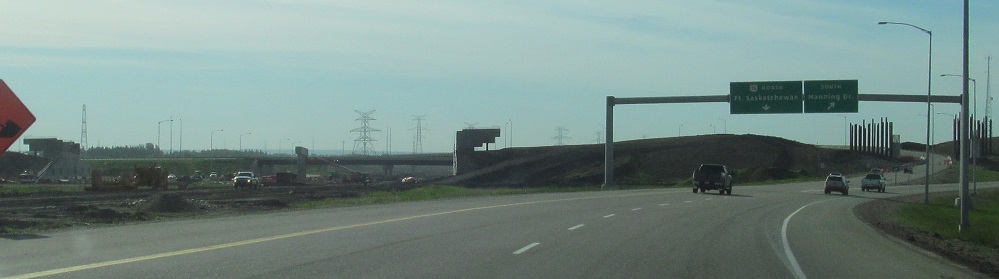
Continuing along the EB-SB ramp, which, as I said, was the way to connect AB 216 from 2011 (when the rest of the beltway was completed) to 2016. Again, all of the work you see is for the SB-EB ramp, which crosses AB 15 in the last two photos and heads toward a merge with future AB 216.
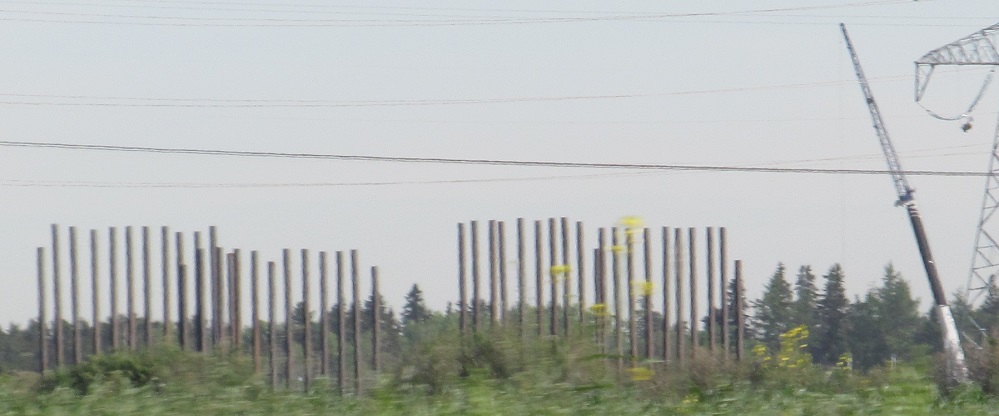
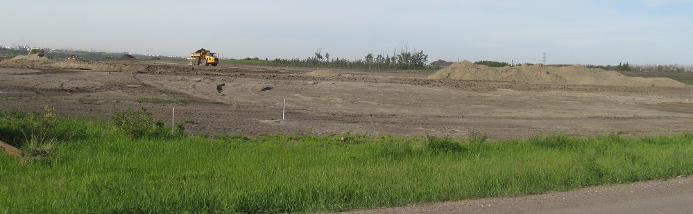
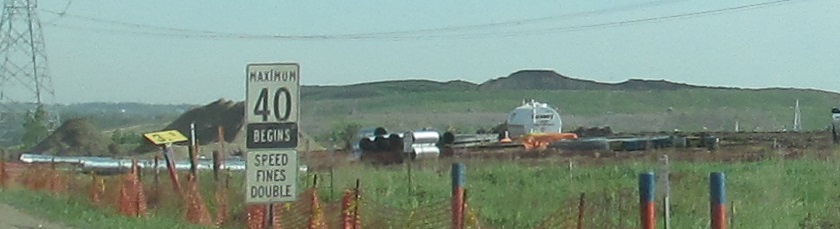
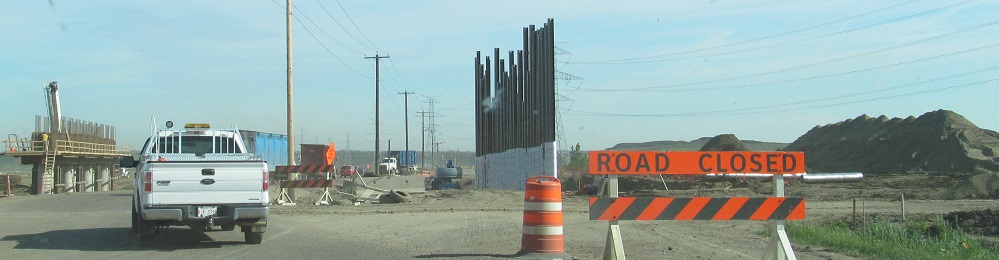
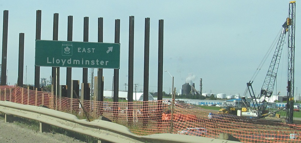
With construction all over northeastern Edmonton, all I have to do is pick a street that isn't closed. My first vantage point is heading east on 153 Ave. The piles here are for the future overpass across AB 216, which would end up rerouting 153 Ave to the north and adding a partial cloverleaf interchange. The former route to the south that I'm on in these photos was subsequently torn out west of AB 216 and dead-ended to the east, resulting in Meridian St. having consecutive intersections with 153 Ave.
Panning west from there, toward a future AB 216 overpass of 18 St.
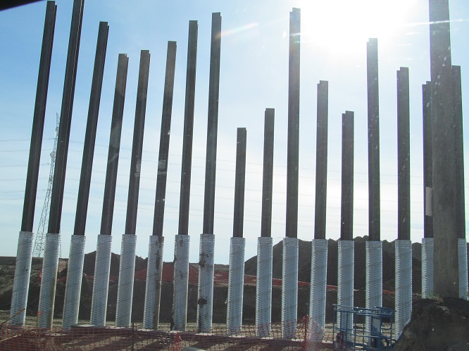
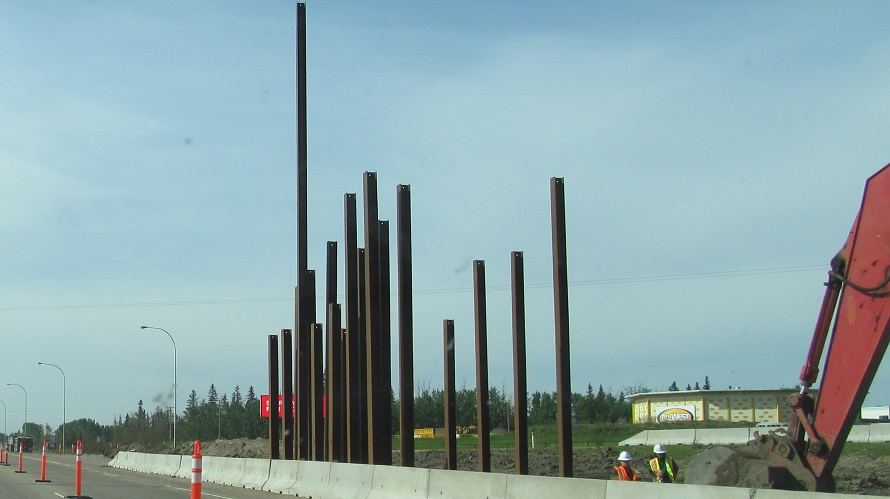
Closer to the work site, these photos look north toward the 153 Ave. overpass work. The tall steel piles will be the eastern bridge abutment, while the shorter columns in the middle support the pier in AB 216's future median.
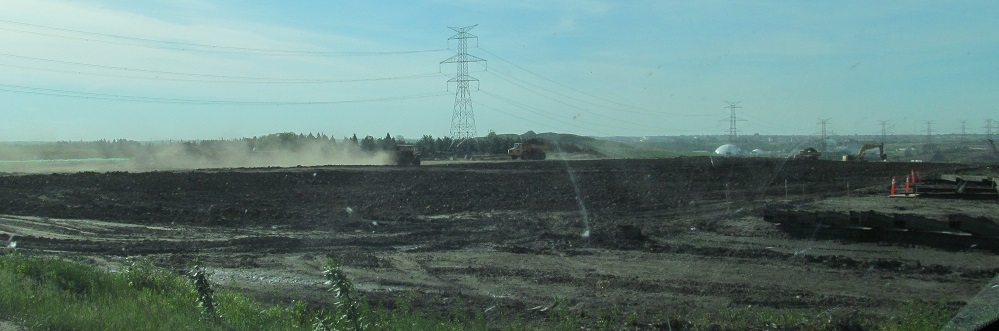
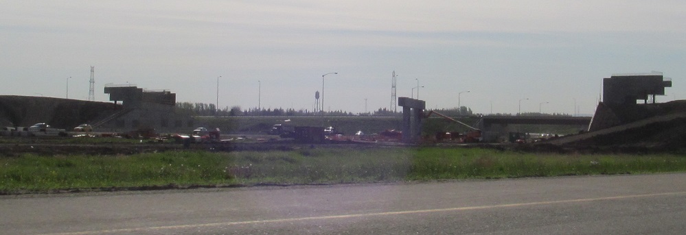
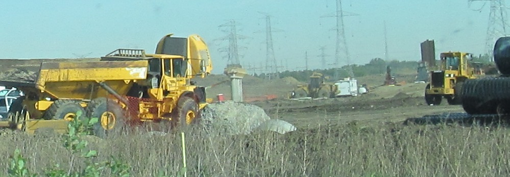
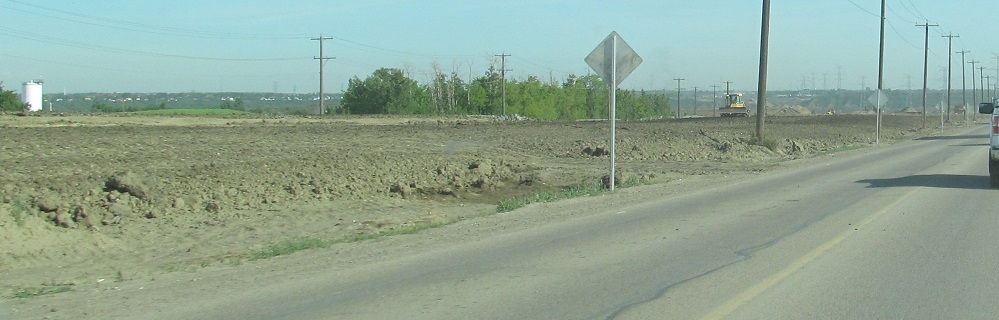
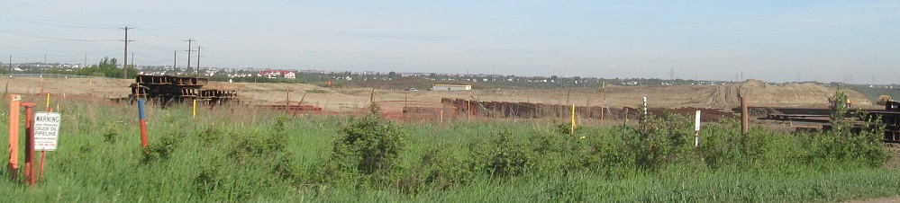
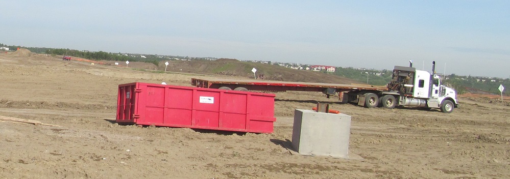
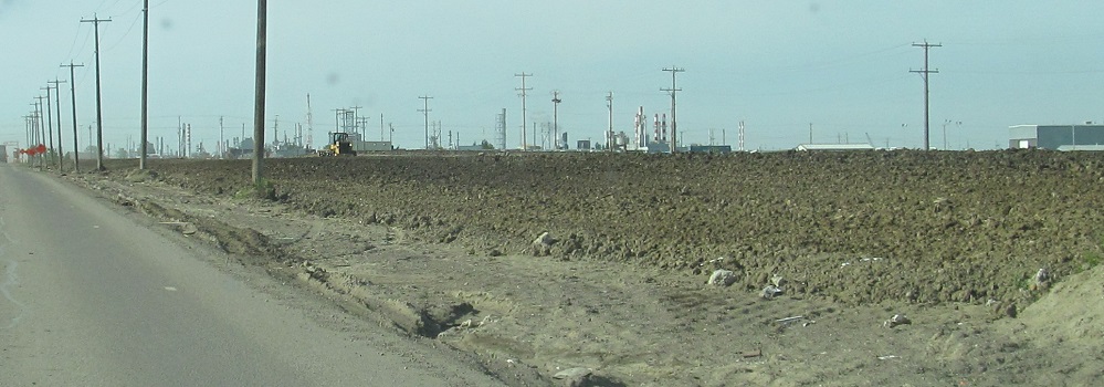
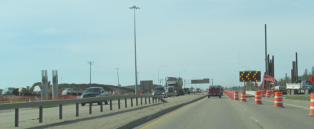
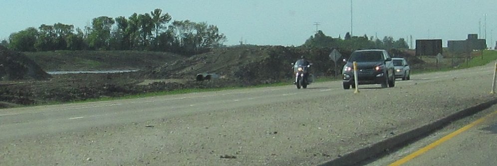
AB 216 south of the interchange is just a hot mess right now. This is pretty much the approach to the North Saskatchewan Bridge, so it makes sense that work here is farther behind.
Heading back west, looking left and right as I cross the path of AB 216. Some interchange grading is already apparent at realigned 153 Ave.
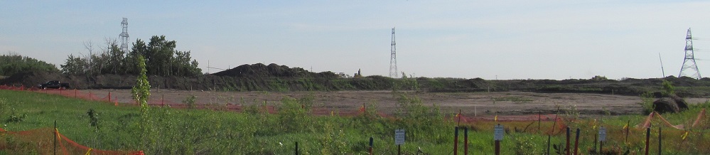
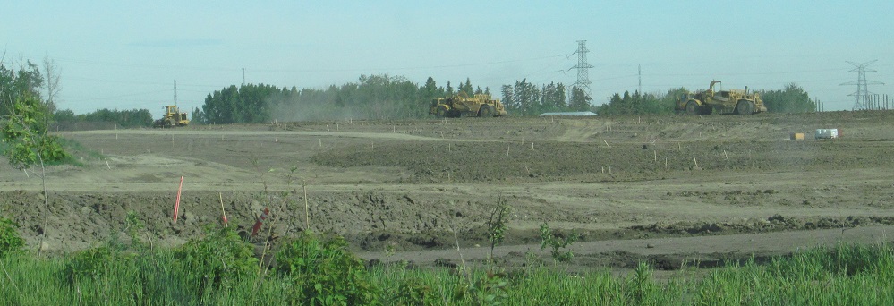
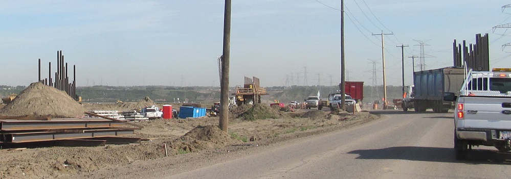
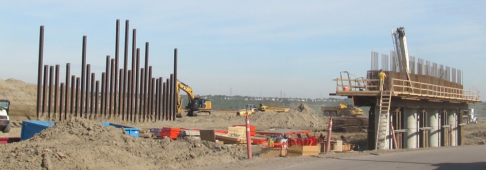
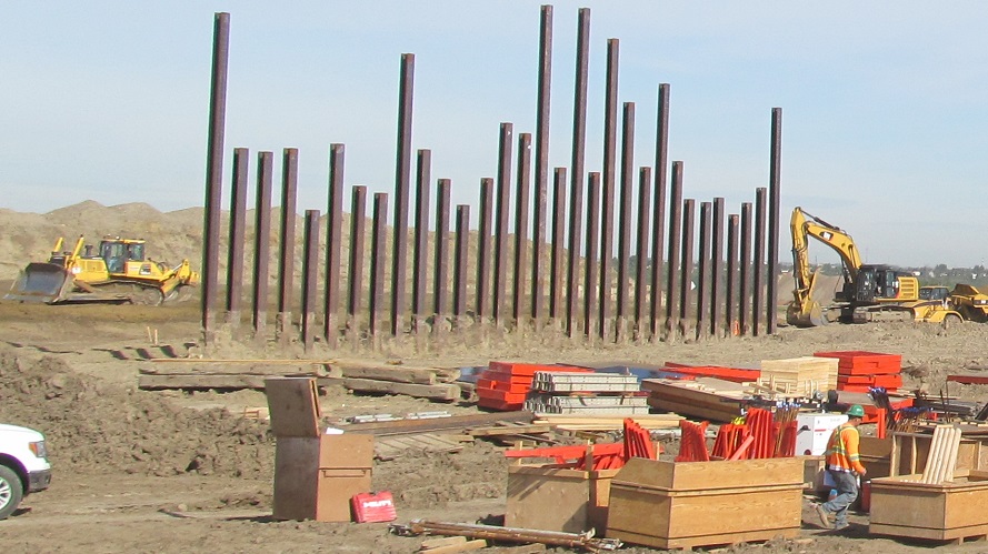
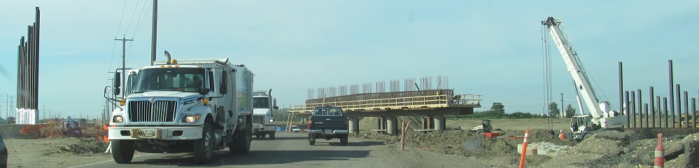
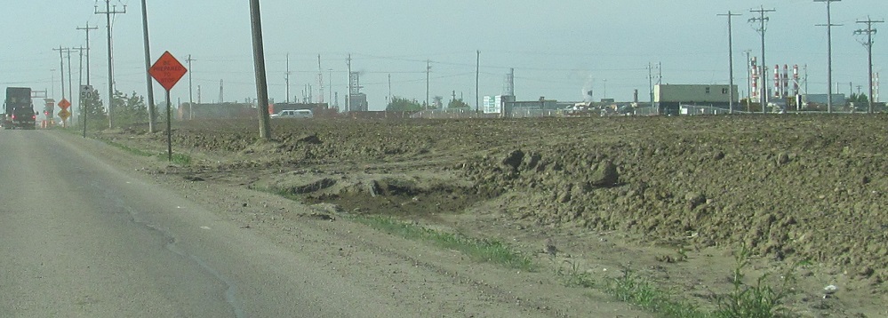
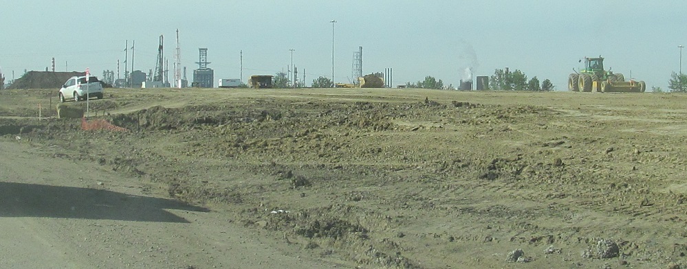
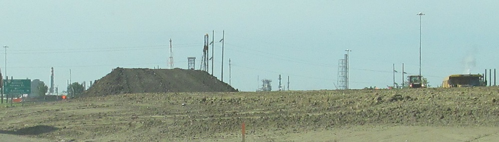
These photos take us halfway through the page, so it's only appropriate that they are on Meridian Street, heading north along the future path of AB 216. Until now, Meridian St. interchanged with TCH 16 and just turned into AB 216 at that point. This work obliterates just about all of Meridian St., and of course its at-grade interchange ramp termini, relegating it to industrial access from 17th St. and Hayter Rd. After the 130 Ave. interchange, which is what the dirt pile in the last photo is for, AB 216 peels west from the meridian, leaving a rump end of Meridian St. to serve businesses at the end of 137 Ave.
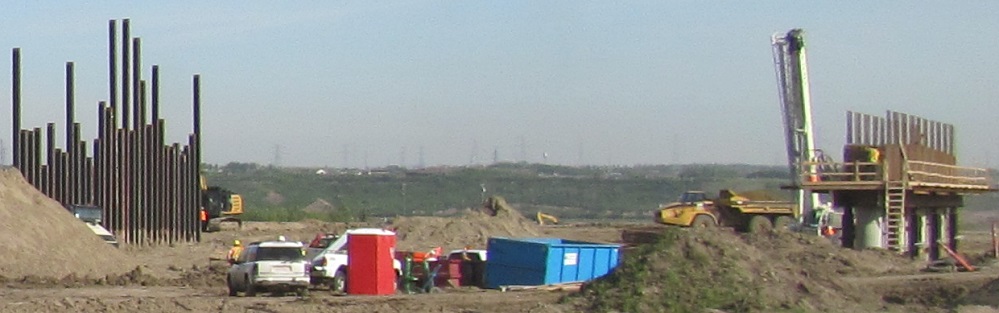
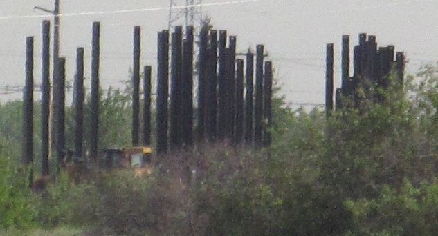
The new 130 Ave. from left to right. The tall steel piles to the left and right are again the abutments, and the shorter pier is again the bridge support in the future AB 216 median, so you can see that existing Meridian St. will become AB 216's NB carriageway. East of here, 130 Ave. becomes Aurum Rd., serving industrial development and connection to AB 21. For a couple of years after AB 216 opened, though, Aurum Rd. had a stub ending at 9 St., thus instantly transitioning from a 4-lane divided arterial to a narrow dirt road.
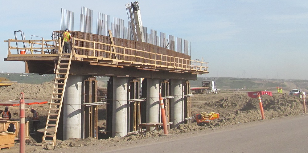
Look as closely as you please at the 130 Ave. bridge supports. The 3rd photo shows the future alignment of AB 216 over the river and back toward 153 Ave.
130 Ave. was maintained to the west during the project to keep access to Clover Bar Energy Centre.
Did you say you wanted even more structural photos? I had to turn around and head back down Meridian St., so sure, here they are heading south.
As you saw before, AB 216 has been cleared to the west of Meridian St. If you'll note the brake lights in the 2nd photo, a train was busy crossing Meridian St. Slowly and lengthily. There was a 15 minute break before the 3rd photo, and I was clearly not the first vehicle to the crossing.
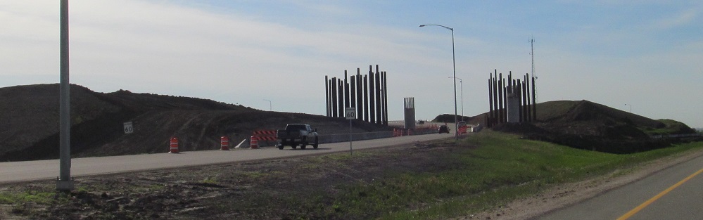
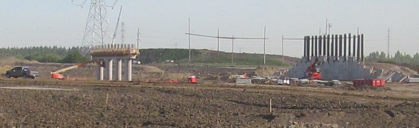
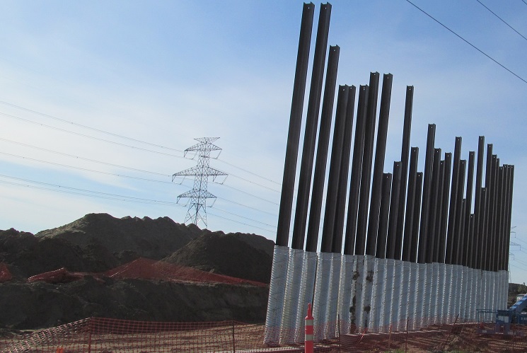
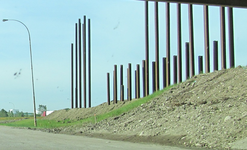
Back to TCH 16 and the official then-beginning of AB 216. The piles here are the northern abutment for the future AB 216 SB bridge, which you might have also seen on the TCH 16 page from the lower perspective.
Just because I'm on the open part of AB 216 doesn't mean the construction fun stops. As part of completing the loop, the existing narrow 4-lane highway needed to be widened to 6 lanes with a grass median. In this case, Baseline Rd. also needed to be widened from 4 lanes to 6 lanes to accommodate new development in the area, so these are the median pier and west abutment for the future EB roadway. There are also separate overpasses leading to the EB-NB and WB-SB loops, keeping them separate from the signalized NB-WB and SB-EB ramp left turns.
The next interchange (61) also featured similar work. The cloverleaf at the east end of AB 100 was being upgraded with an EB-NB flyover that crosses AB 216 in the first two photos. A C/D road was added for the SB cloverleaf ramps while a half-C/D road was being added NB as well, for some unknown reason; it just leads to AB 100 WB with no merges or returns to the mainline, since there's no EB-NB loop ramp to merge in anymore. And with all that, you can also see that the mainline is being widened from 4 lanes with a curbed median to 6 lanes with full shoulders and a wider grassed median. Because of that, the new median of AB 216 is east of the entire existing roadway, since 3 SB lanes plus a C/D lane takes up the same room as 2 NB and 2 SB lanes.
Back to AB 216 main page
Onto TCH 16
See more of Edmonton
Back to Alberta Roads
Back to Roads