Alberta Highways - AB 2 - Calgary-Edmonton
 Calgary to Edmonton
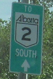
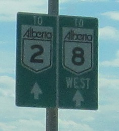
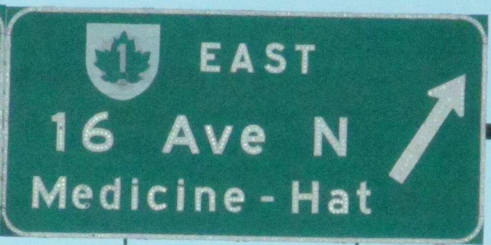
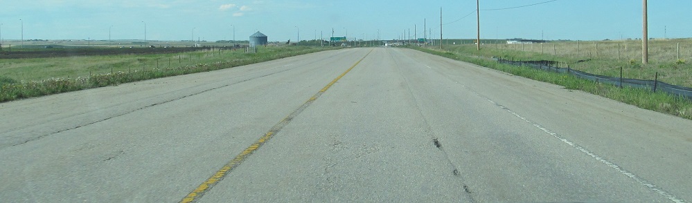
Sarcee Trail SB from TCH 1 to AB 8 (Glenmore Trail). This probably is the best route from TCH 1 west of Calgary to AB 2 to the south. Or really, to AB 8 first, so that shield should be on both signs and without the "West."
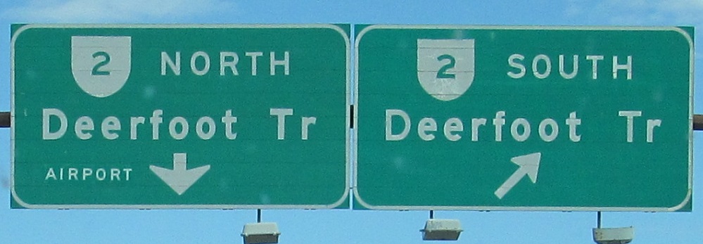
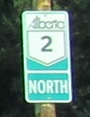
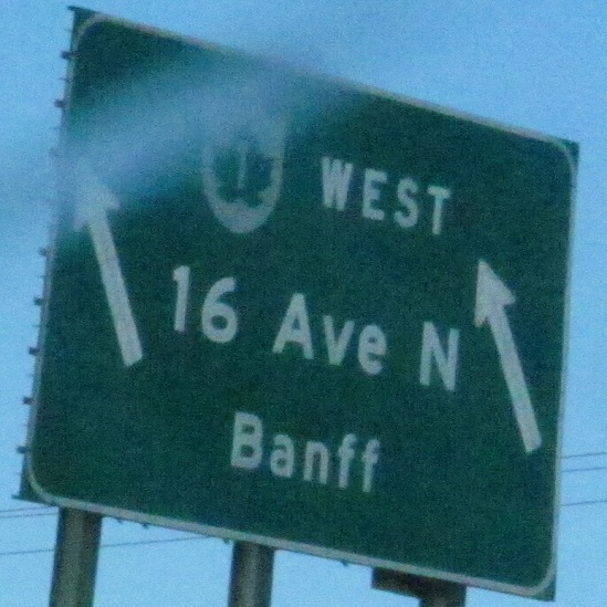
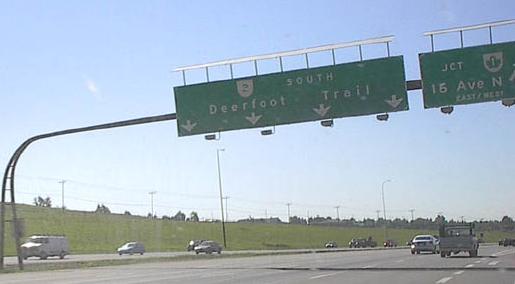
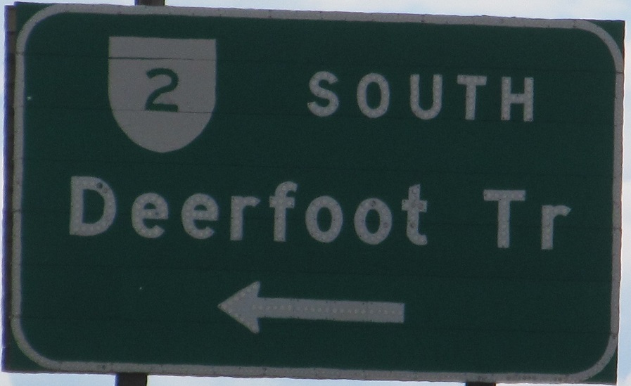
This is a very old shield type that I've only seen in Calgary. It's not really the right shape, and it's printed directly on the sign. The first sign has had a lot of work done. I wouldn't be surprised if it dates to 1980, when the segment of AB 2 (Deerfoot Trail) north of Glenmore Trail opened, and then it was patched over in 1982. (And again with "Airport" at some point.)
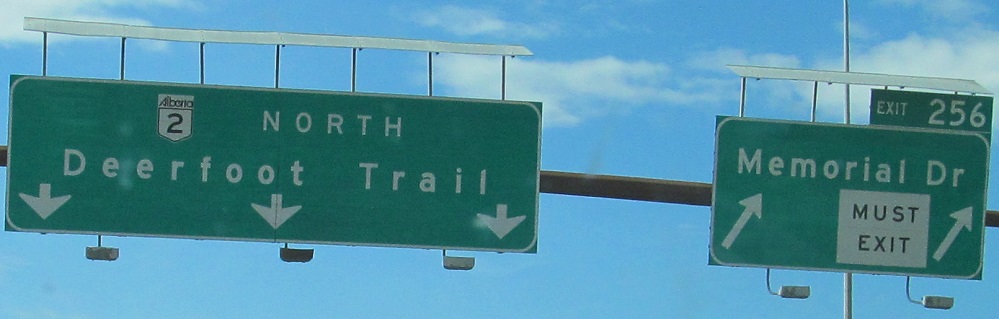
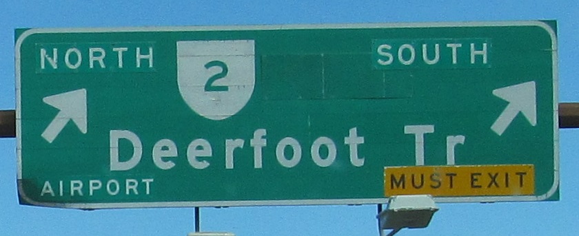
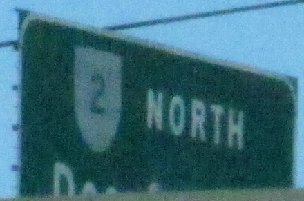
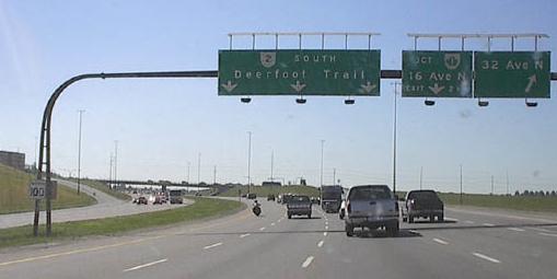
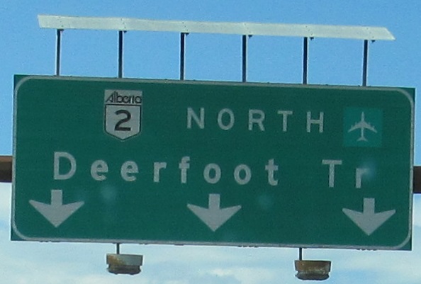
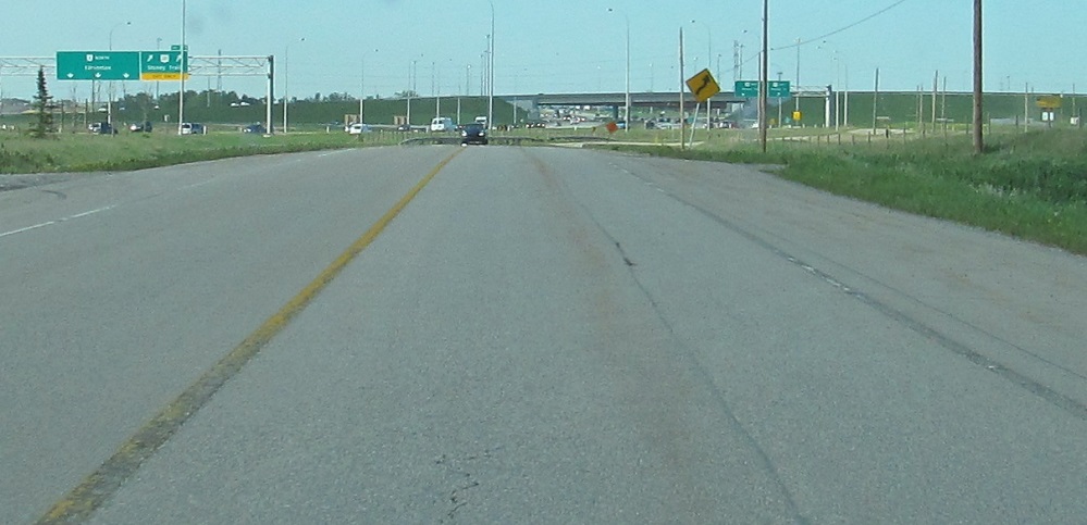
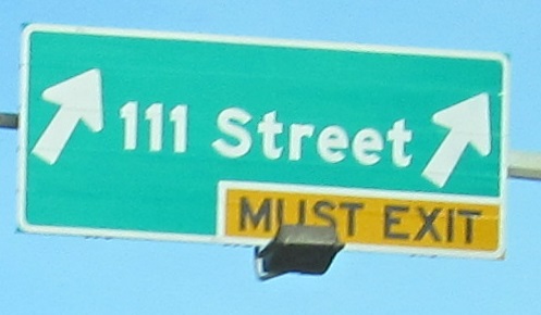
Now heading north on AB 2 itself, where exits are numbered and text is w i d e because that is how Calgary fills space. "Must Exit" should be yellow and the second sign should not be Clearview. But since it is, the text definitely should not be all caps, and the word "TO" should be removed as this exit connects directly. The whole sign is exceedingly overloaded.
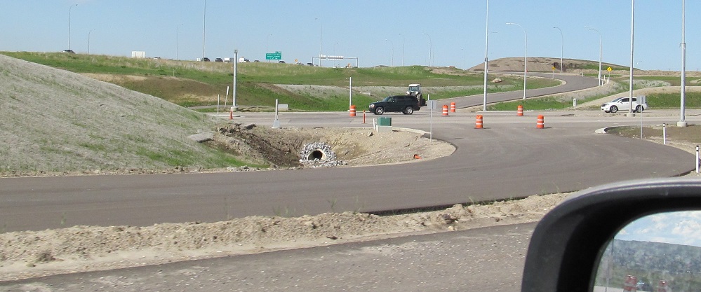
The pičces de résistance are the full-fledged button copy signs on the exit ramp. These are so old they put the TCH maple leaf straight into the same shieldlike background that the AB 2 shield used before. The AB 2/TCH 1 interchange looks similar to a roundabout, but is actually just a conventional diamond, with the halves of TCH 1 separated widely enough to facilitate the minimum two signal phases by providing left-turn storage.
In hindsight, I should have turned around despite the traffic and gone all about the interchange to get all of the sign photos, but these are the additional button copy I could see from the lower level on AB 2 NB.
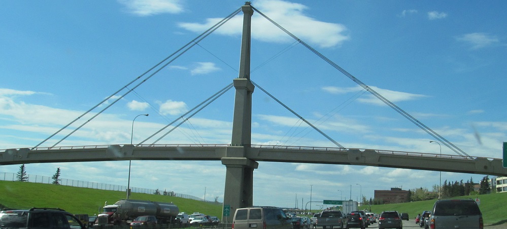
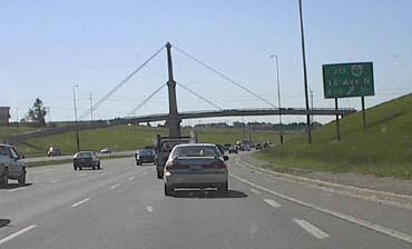
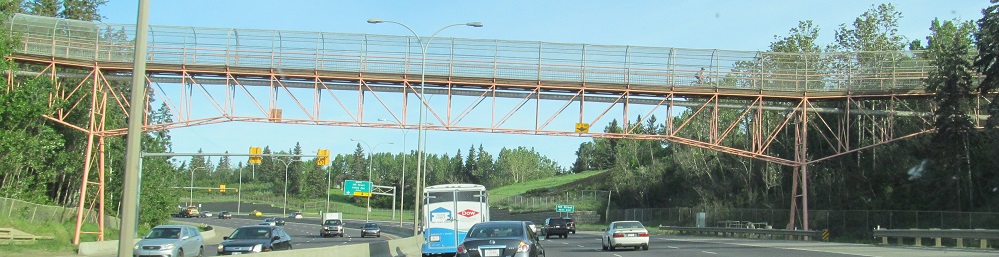
A little north of the interchange, this is a pedestrian overpass to a golf course.
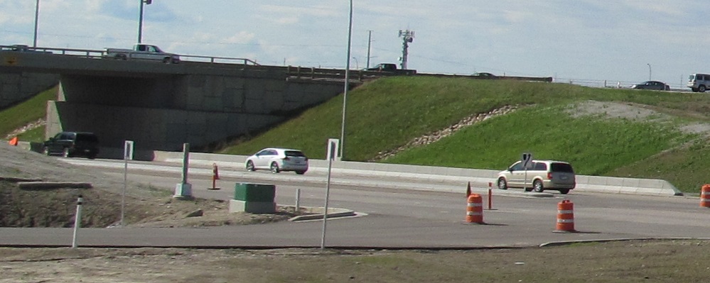
The SB progression for the same interchange, courtesy Rich Piehl. Note in the last photo the horizontal signal warning sign, which you don't get in the States.
Bonus Stimsonite, 32nd Ave. NE facing WB and EB respectively. Thank the traffic on AB 2 that I saw these at all.
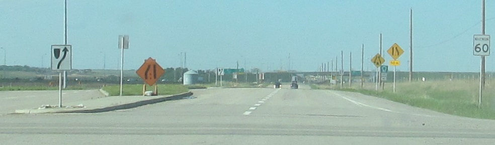
Those arrows are way too close together to be over the lanes, and that reassurance is way too small to be visible on a freeway. Exit 263 isn't looking great for Alberta.
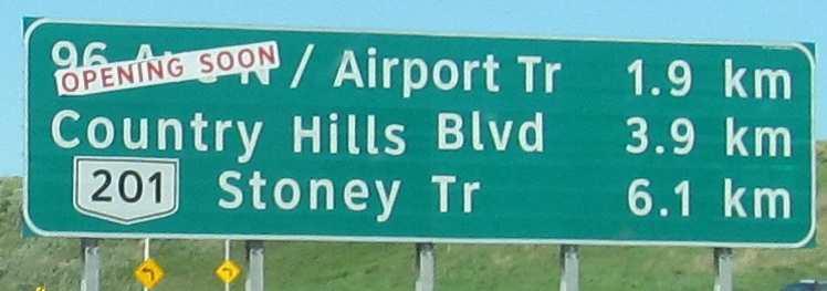
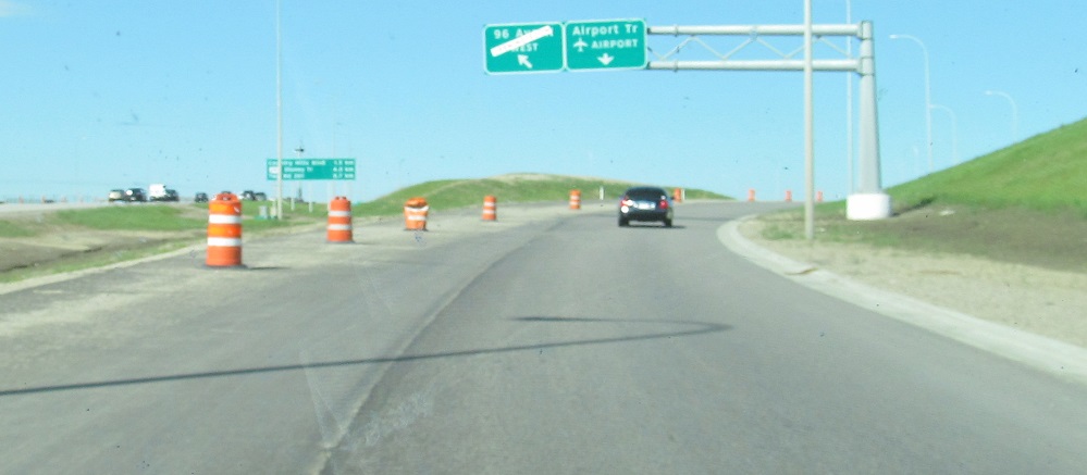
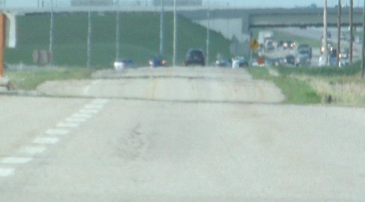
Coming soon? But the road's already here! In 2013, exiting traffic had to head east on Airport Trail, because 96th Ave. NE was not yet finished over the railway to the west. All the traffic you see is going to have to turn left onto AB 2 SB.
Until the 1970s, AB 2 ended up on Barlow Trail on its way north out of Calgary. It still kinda does, as the freeway swings into the old Barlow Trail alignment at the northern AB 201 interchange, which is why this leftover stub of Barlow Trail NB exists. It still has some of the trappings of the old provincial highway, and is important to memorialize now that the old roadway has been dug up for new development with the realignment of Barlow Trail to the east.
This sign on Country Hills Blvd. WB could be laid out so much better.
The NB service station in Bowden appears to offer gas, food, and camping. You can't dispute me based on this pitiful old sign.
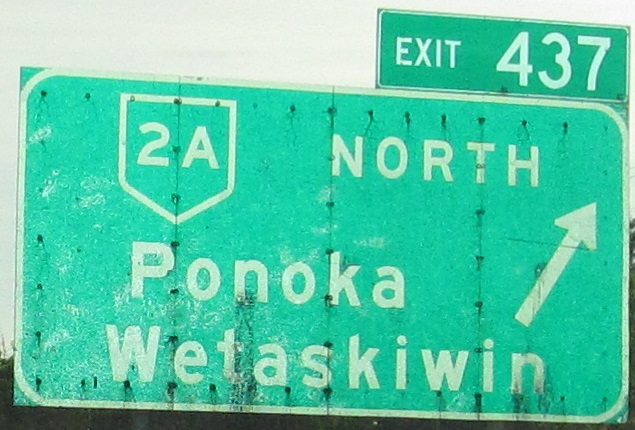
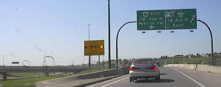
How reflective are older signs? Not quite as much as newer exit tabs. AB 2A either leaves AB 2 NB here or begins afresh.
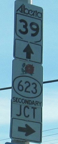
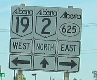
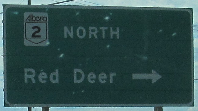
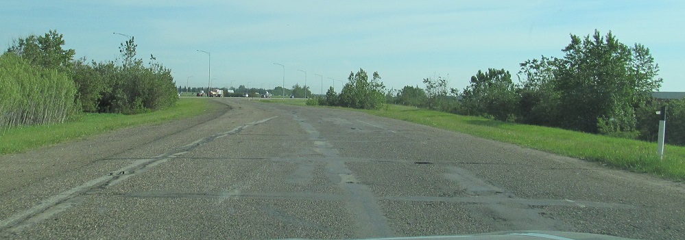
Decent-looking shield assembles on old AB 2 NB through Leduc and Nisku. I won't pretend everything is perfect with shared bolt holes and giant font, but they could have been so much worse. The second one is inaccurate, though; AB 625 continues west until modern AB 2, and ahead should be "TO".
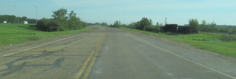
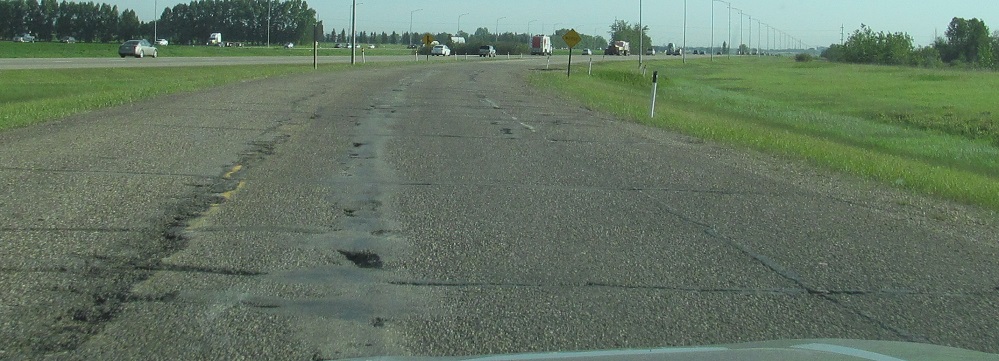
Two minutes later, the prophecy of the AB 2 shield is fulfilled, as Sparrow Dr. in Nisku is very obviously an old mainline as it becomes an entrance ramp to its modern alignment.
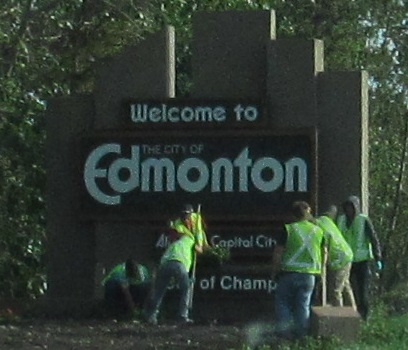
Welcome to Edmonton. Some assembly required.
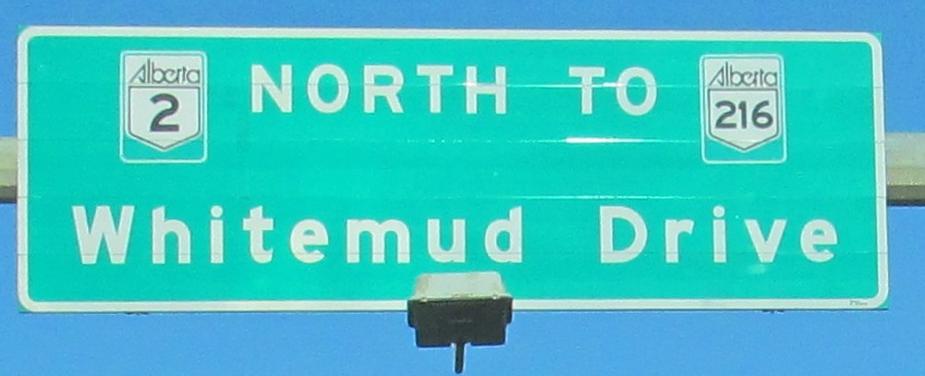
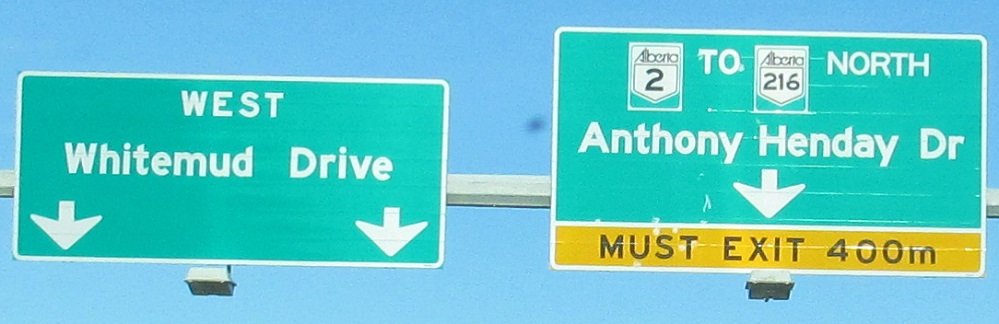
We need to have a talk. This is not an appropriate figure per the Canadian MUTCD or common decency. I recommend sticking the sign and its designer in a large blender. This is where AB 2 turns left onto Whitemud Drive, heading west to AB 216 then randomly beginning again outside downtown instead of taking the intuitive route along its previous alignment.
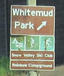
A bunch of "Edmonton special" signs on Whitemud Dr. WB (AB 2 NB), including the reassurance atop this page. There's nothing too wrong with the second one at 122-119 Aves. except for how old the supplemental signs are. And keep the pedestrian bridge.
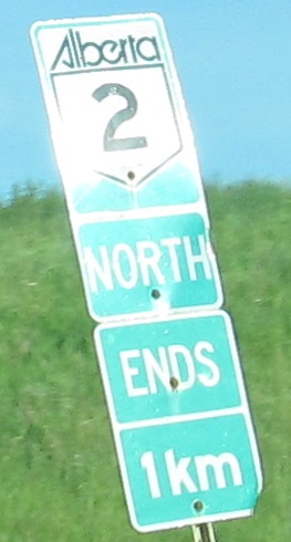
I know that Alberta loves to end a highway instead of taking it on a concurrency. But make up your mind. Does AB 2 "end" here at its secret concurrency, or does AB 216 "end" at AB 2 for that distance? Given that AB 2 magically begins again at TCH 16 along St. Albert Trail, maybe AB 2 actually does "end." Which is really dumb. Its supposed route west on Whitemud, north for less than 7 km, then back east for more than 7 km just doesn't make sense compared to sticking it out through downtown. When you add in the nonsense of AB 2 going north to Peace River and then back south to Grande Prairie while AB 43 does the job much more directly, maybe this should in fact be the end of AB 2. Maybe the northern route should be some other number entirely, and then end it at AB 35 and let that highway go down to Grande Prairie. No one at all is going from here to Grande Prairie on AB 2, so in the scheme of things, just pick the least confusing option. But simultaneously displaying different options? That is confusing.
Most of this page has been NB signs, so let's end on a SB sign, on Saskatchewan Drive EB at 104 St. in Edmonton.
Continue north on AB 2, Grande Prairie to Peace River
South to AB 3 and AB 2/3
Exit 437 to AB 2A, former AB 2
Back to AB 2 main page
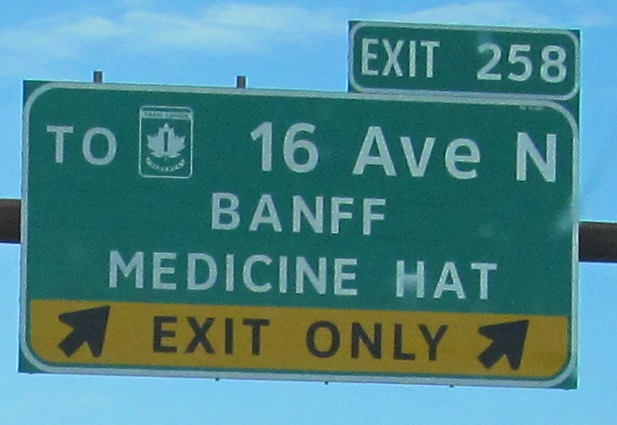
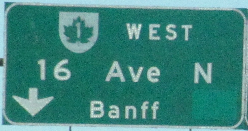
Exit 258 to TCH 1
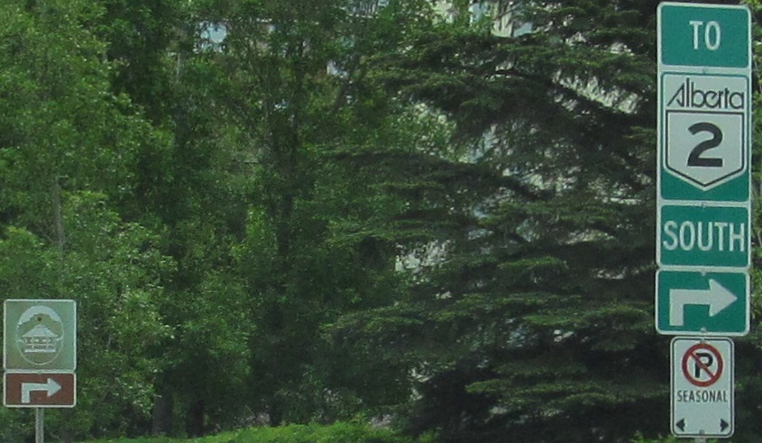
To AB 216
See more of Calgary
See more of Edmonton
Back to Alberta Roads
Back to Roads