Entering WV concurrent with I-77 NB under East River Mountain. The first image is a video if you click.
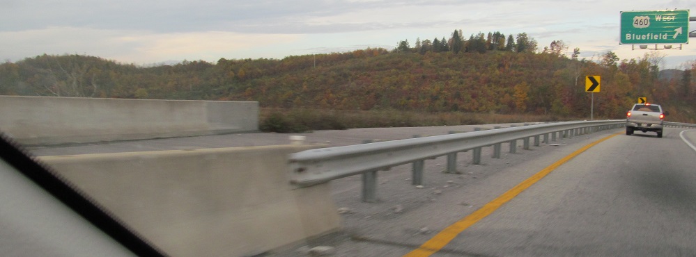
A short stretch of the King Coal Highway has been built from I-77 to US 460, with stubs and clearing that curve north to parallel 460 until long bridges over US 19 (not yet built in 2013 when I visited). Eventually, it will carry US 52 past Williamson to US 119. Theoretically, it would also carry I-73 and I-74, with I-73 heading east from 77 toward Roanoke and I-74 joining it into NC. Also theoretically, cold fusion will provide renewable, sustainable energy for the entire world.
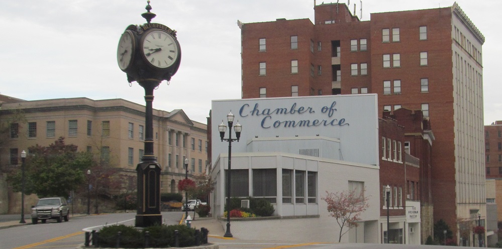
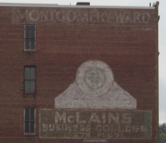
Off of US 460 and NB into Bluefield. The 1924 municipal building, now the Bluefield Arts Center, is left in the 2nd photo. The 1940s ads are on the side of the 1906 Coal and Coke Building. (I know the college was there in the 1940s. Montgomery Ward may have been earlier.)
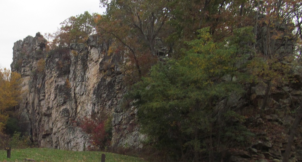
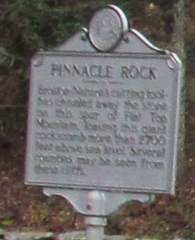
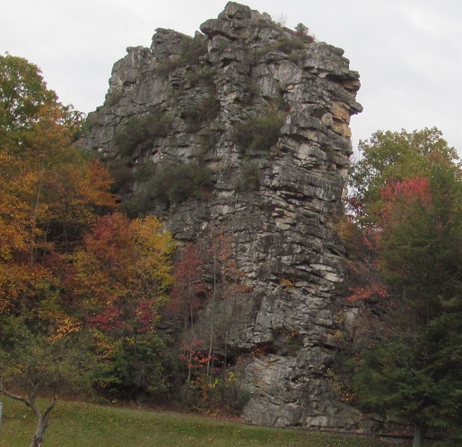
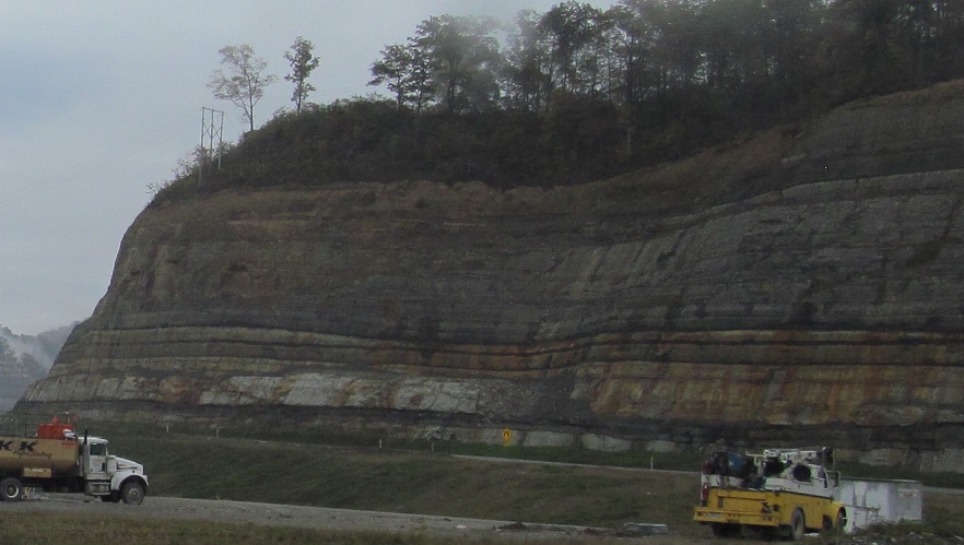
Both sides of the rock and its sign.
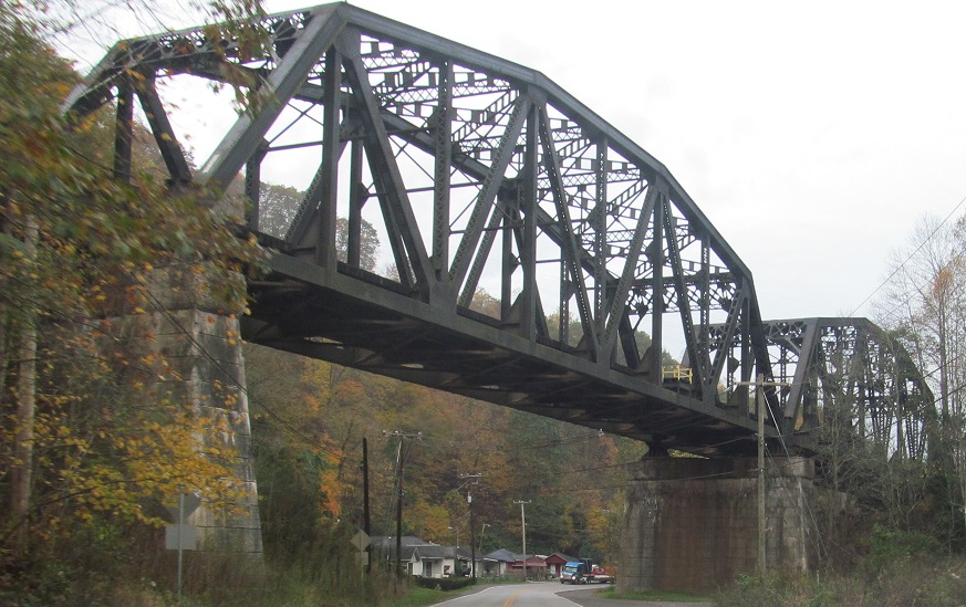
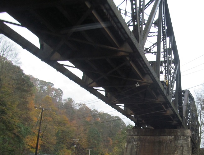
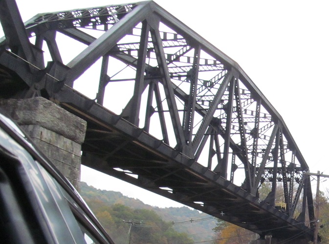
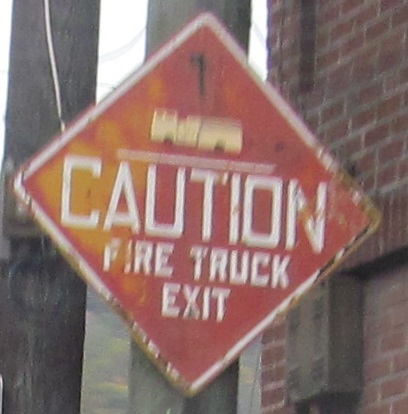
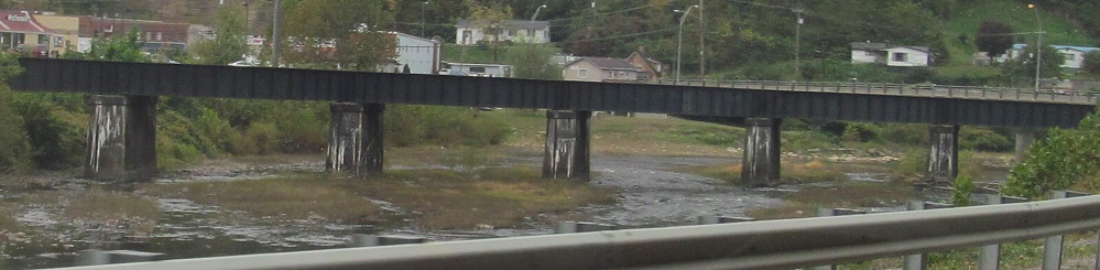
Both sides of the railroad bridge and NB signs in Northfork and Keystone. I'm impressed at the detail in that fire engine.
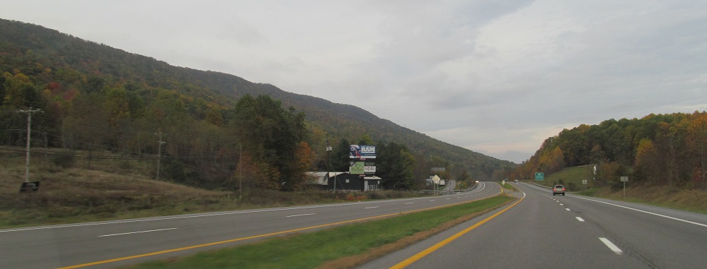
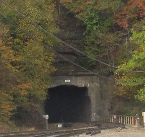
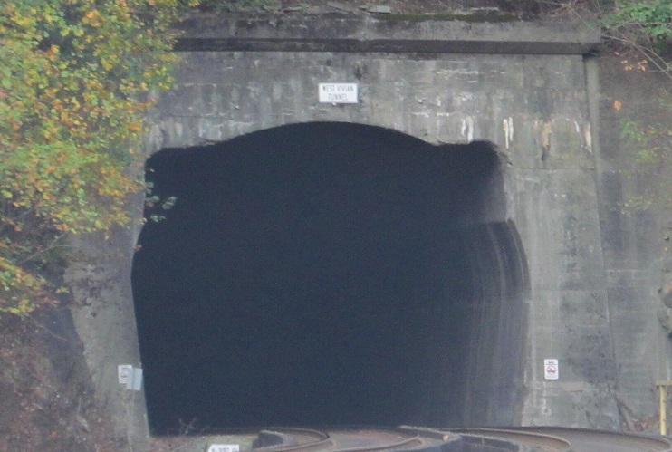
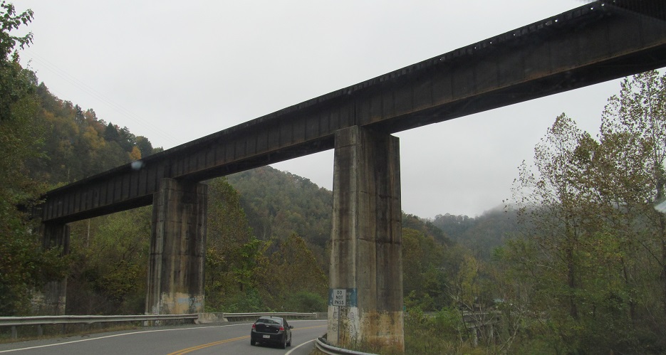
NB past the West Vivian Tunnel and over an Elkhorn Creek bridge so old trucks must cross one at a time. That's when you know it's replacement time.
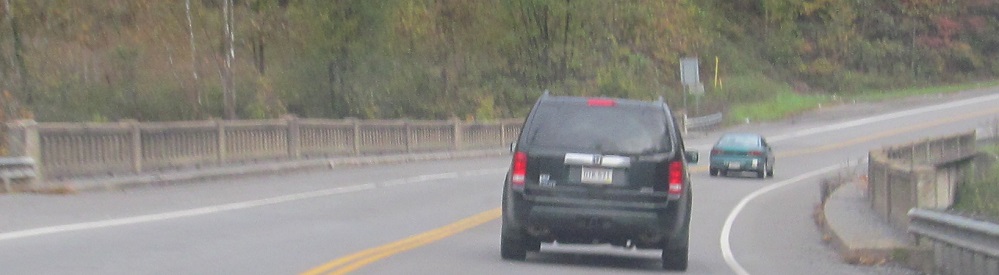
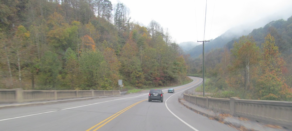
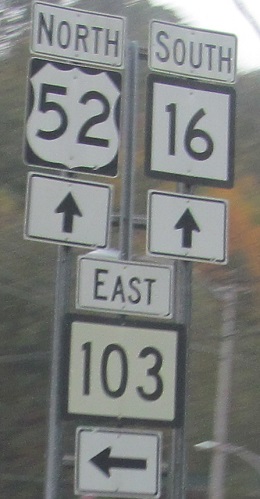
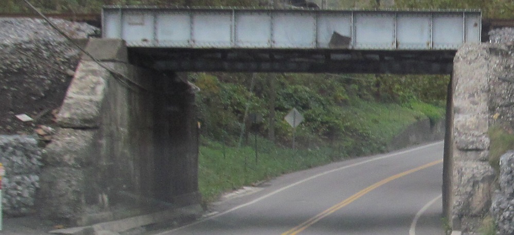
US 52 NB picks up WV 16 SB for a ride, then drops it off before heading to Justice under the Guyandotte River railroad bridge.
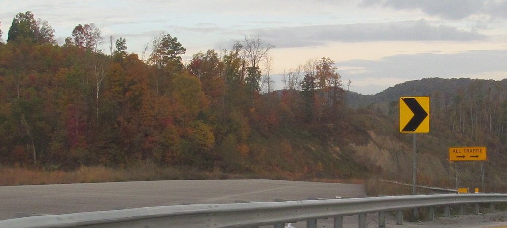
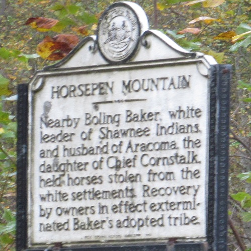
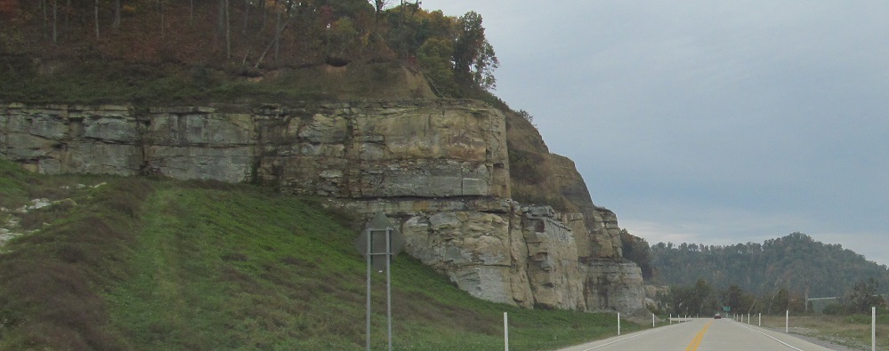
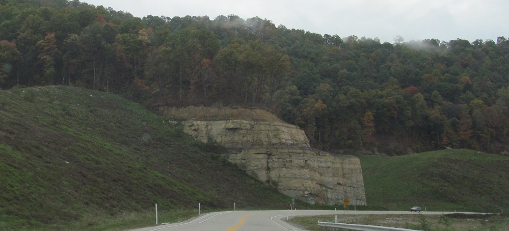
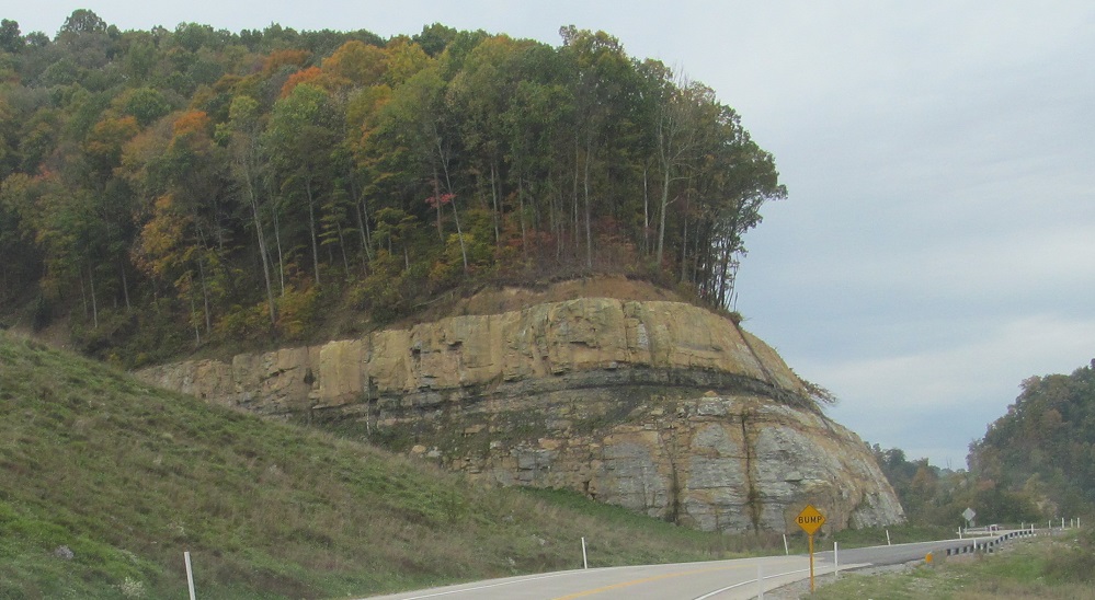
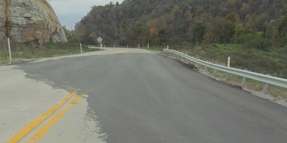
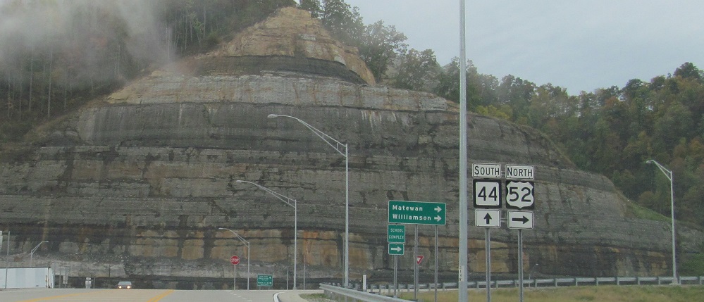
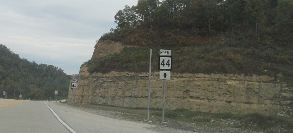
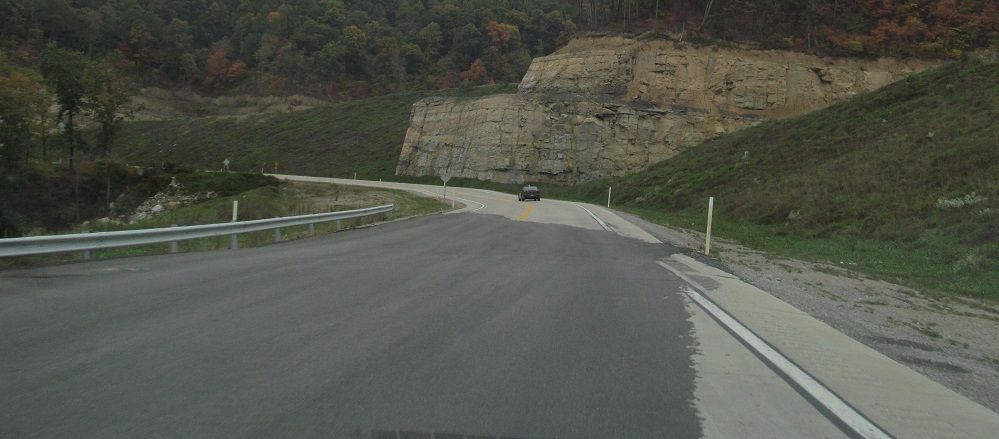
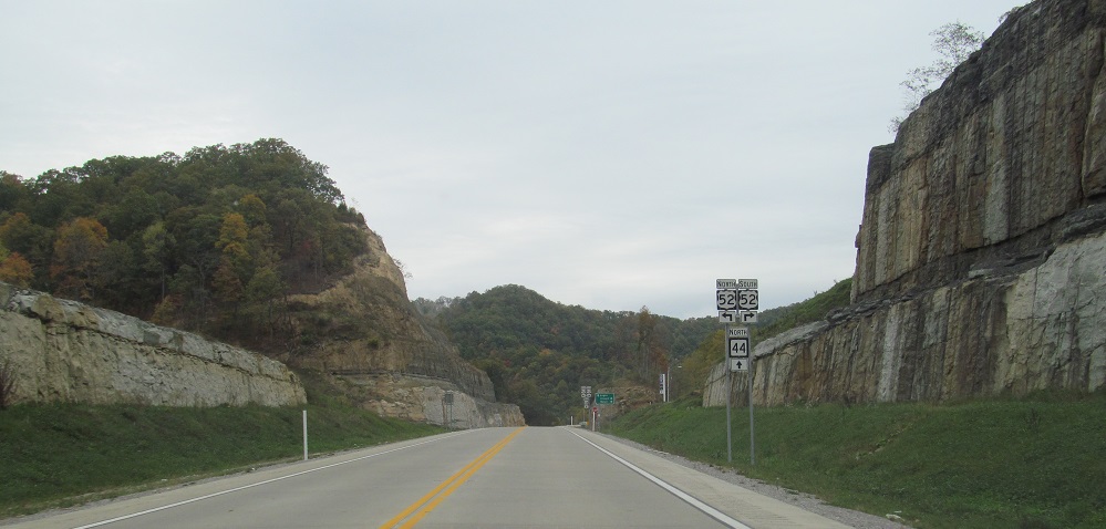
Speaking of Horsepen Mountain, there's a segment of King Coal Expressway hiding behind it. To get there, I follow the newly extended WV 44 south until it intersects... US 52. Oh, dear. This may be future US 52, but these signs cannot help drivers now. Also, this is a long way off from being any kind of complete that would make it worthwhile to shift some part of the mainline over. And we're intersecting future I-73/I-74 at grade, which tells you just how serious those plans are. And WV 44 ends right here, just behind US 52 at the tiny Beech Creek Rd. (that's the T part of the warning sign in the 5th photo), so there's no point to signing it straight. And and, notice how WV 44 has already settled despite being a new road. I bet that's gone over real well with WVDOT.
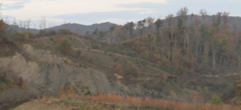
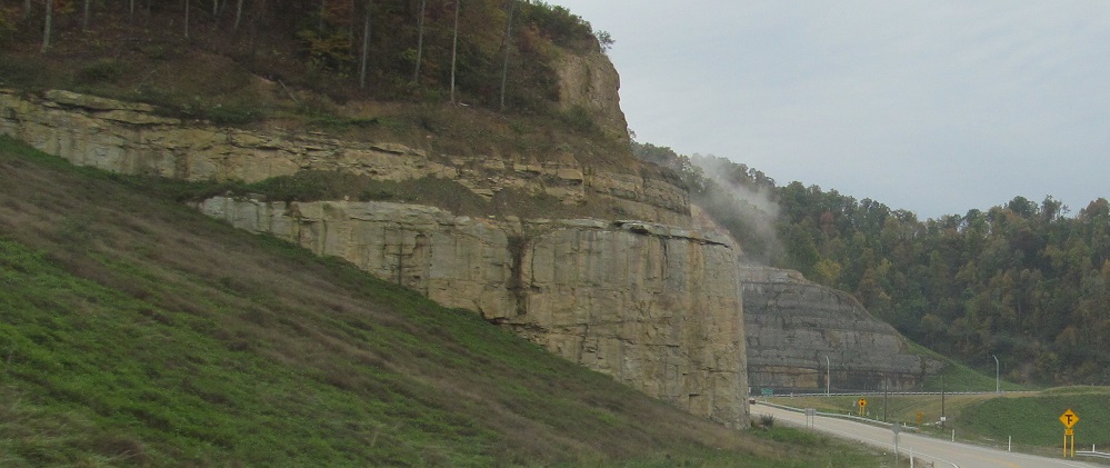
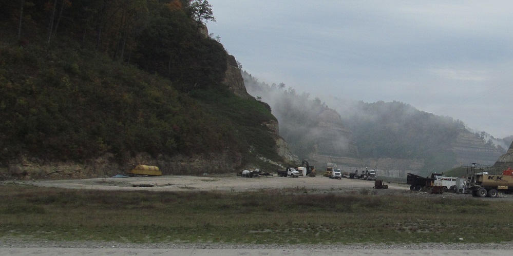
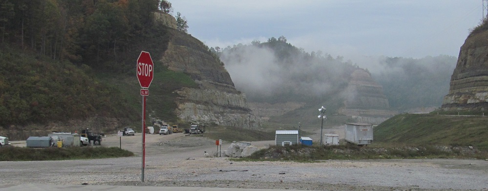
Looking east (signed south) along future US 52 and the attendant devastation of the environment. Clearly, this is not the original alignment of Left Fork Bens Creek Road (2nd photo, 100' under the natural topography).
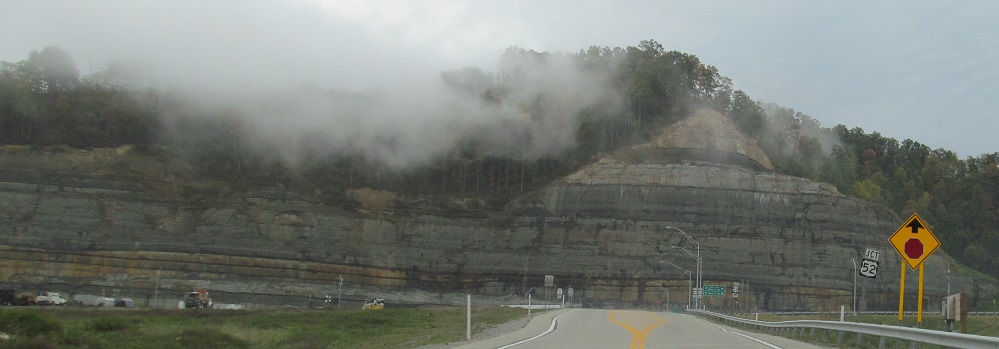
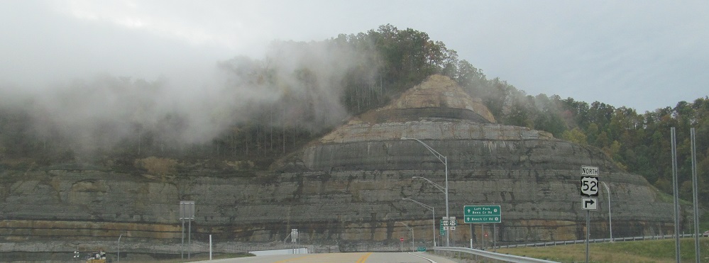
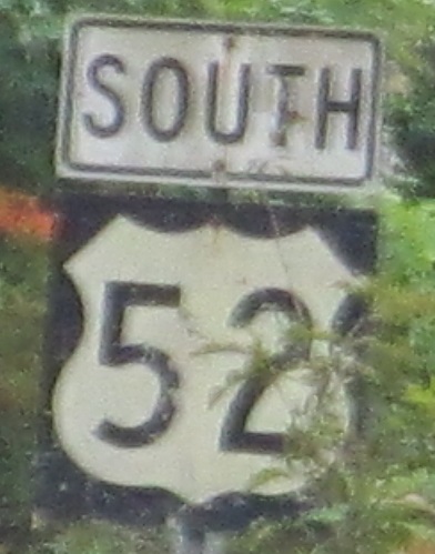
Just like US 52 is signed twice, WV 44 gets to be signed twice, heading back up to current US 52.
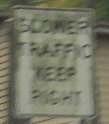
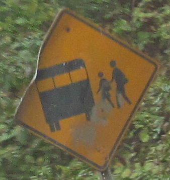
Old signs in each direction. WV pioneered the graphical school bus sign well before the MUTCD adopted its version with the red flashing lights. This sign near Varney was even showing its age in 2013.
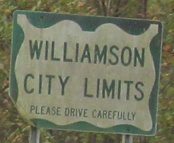
NB signs in Williamson are either old or afflicted with pollen causing the appearance of aging. The last photo, whose top sign is certifiably old, is at Talbott St.