West Virginia Roads - US 19 - S. of Clarksburg
US 19 south of Clarksburg
All photos were taken NB until Jane Lew, even if a couple of them look back southward. It should be obvious which those are.
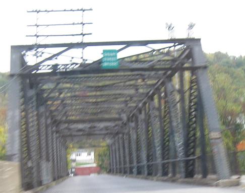
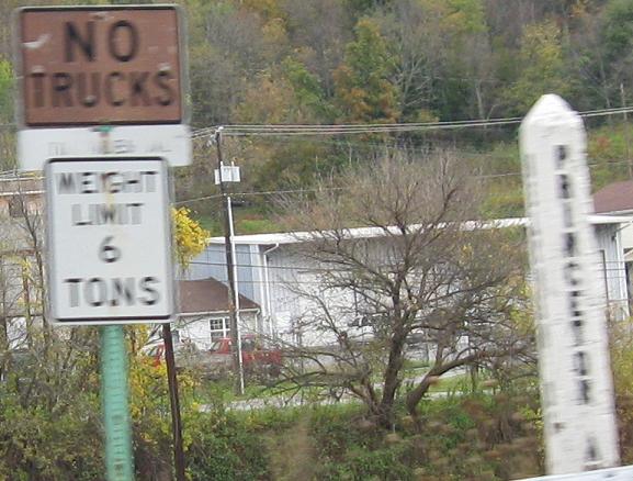
Two views of the Grant St. bridge and two of the Harding St. bridge in Bluefield, ending with a photo of the signs at Harding St. These cross railroad tracks, not a river. US 19 here was also US 460 once until 460 was routed onto a bypass of the city. Now 19 acts as the business route before coming back to 460 northeast of town.
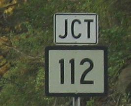
As best I can tell, WV 112 is former US 460 where it split from US 19. Now, US 19 goes up the hill to modern 460 and they stick together several miles more before US 460 heads east and sinks back down to meet 112 again. US 19 has been dualized here on up the hill, so I don't know what the construction deal is. Hopefully it's not removing capacity, just reconstructing it.
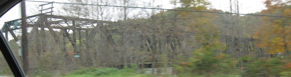
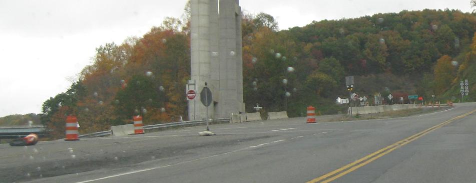
There are plenty more of these along US 460, which you can see via the big link at bottom. Here's one right as US 19 meets it.
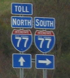
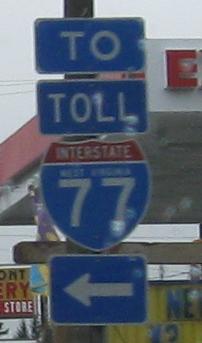
Up to Odd Rd. in Ghent. I'm very much in favor of signing routes as TOLL, although Delaware uses a yellow banner that stands out better instead. Most states just won't do it because it may cut down on revenue from people following the pretty shields.
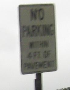
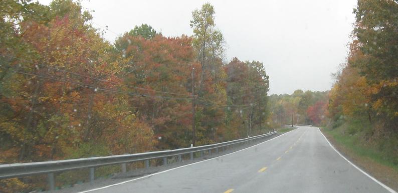
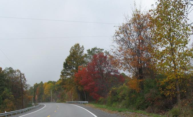
WV 3 joins the ride through these photos. Old, faded distance signs don't come out well in misty conditions.
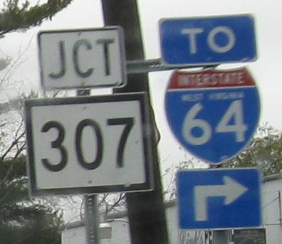
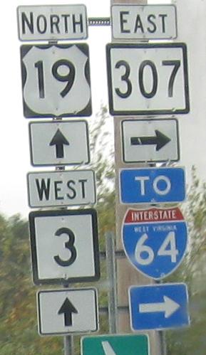
Looking over my right shoulder at a connector from US 19 in Beckley to I-64 just east of I-77. It is slowly extending itself northward to the east of the town.
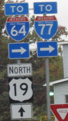
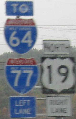
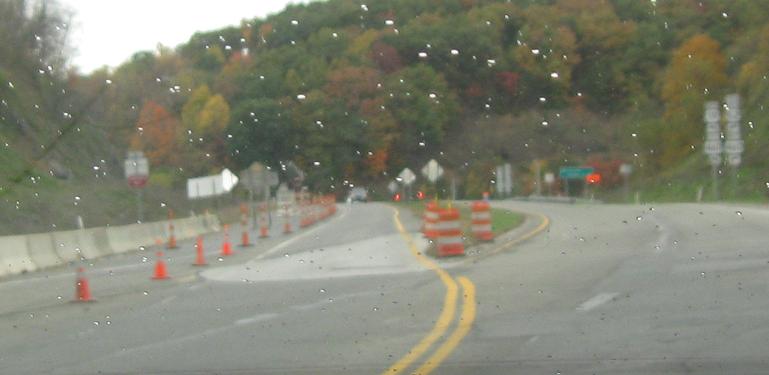
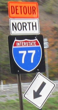
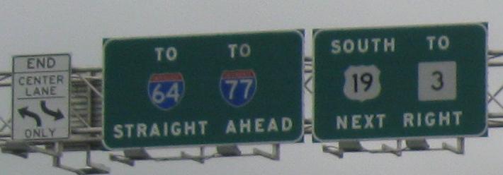
Past the next intersection connecting to the connector (two in a row, signed in similar ways) up to another connector, reaching I-77 Exit 48. This one is Corridor L, and here US 19 jumps onto the new expressway and leaves WV 16 to follow the old surface route. (WV 41 out of Beckley was the previous route of US 19, but 16 was the original route.)
Button copy and a special Corridor L mile marker (no sign of US 19 on it like there should be). You can see Bridge Day festivities in the background, so continue north via the link below to participate!
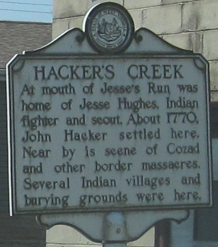
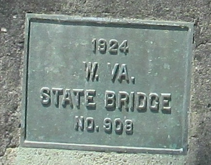
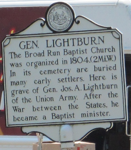
This is Jane Lew, and these photos are southbound. No, Jane is not the name I gave to a sign, and no, I'm not dating or marrying said sign. It's just a town along US 19. The NB side of the Hacker's Creek sign tells how it got its name (Jane Lewis was the mother of the town's founder), the plaque is on the side of the creek bridge, and the last sign is at the southeast corner of the bridge.
More SB photos; it appears that Jane Lewis' family named more than just towns. (Go ahead, make your West Virginia inbreeding jokes about how everyone here has the same last name. I will refrain; I will merely encourage others.)
A bit of a concurrency in Weston, then continuing north.
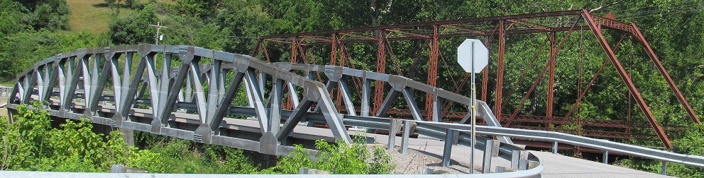
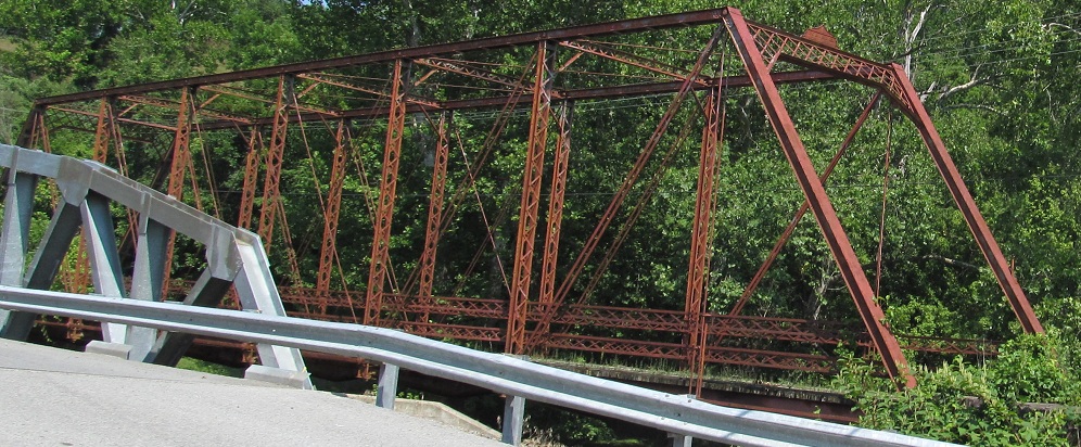
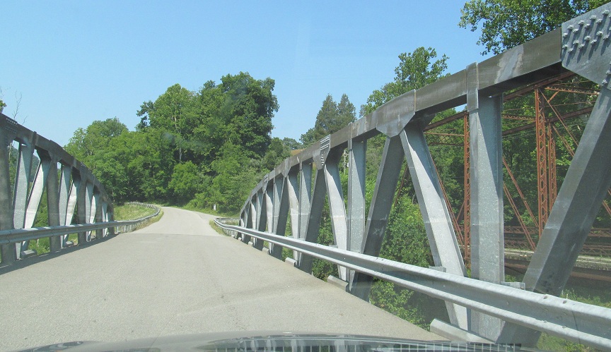
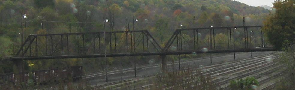
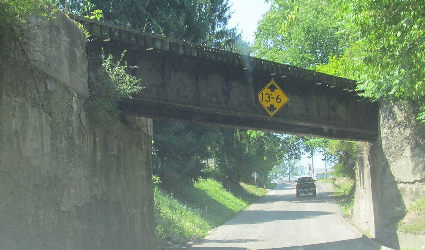
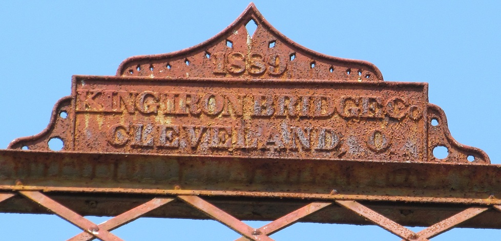
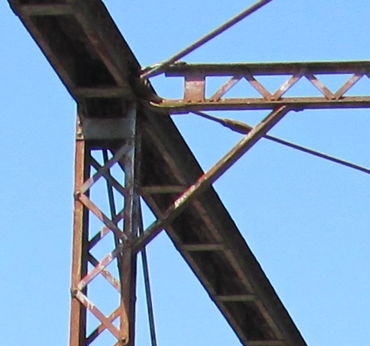
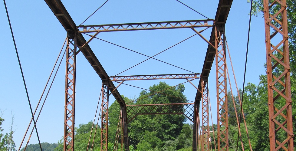
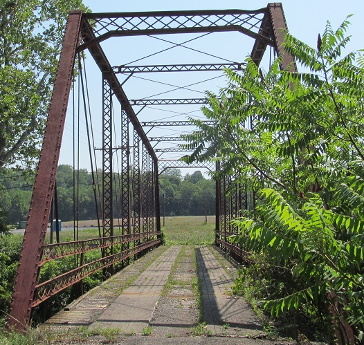
NB up to Two Lick Run, SR 19/18 and formerly one hell of a bridge.
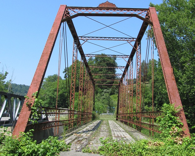
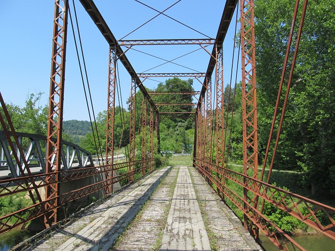
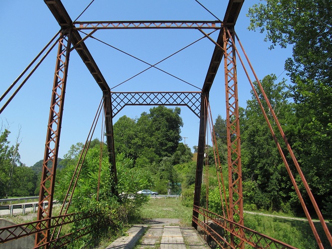
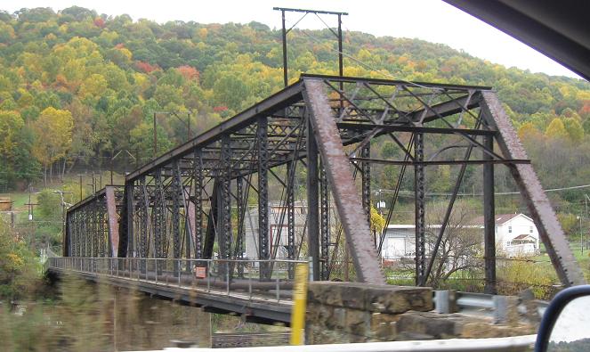
Heading west across the old span away from US 19.
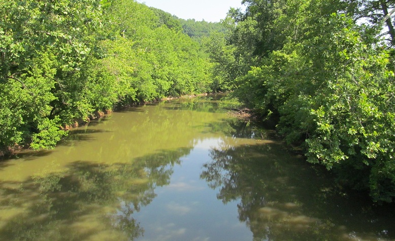
A look north at West Fork River, which US 19 follows in these parts.
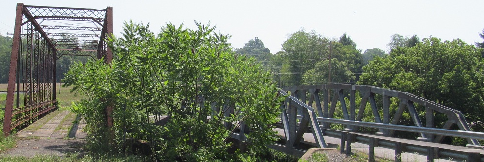
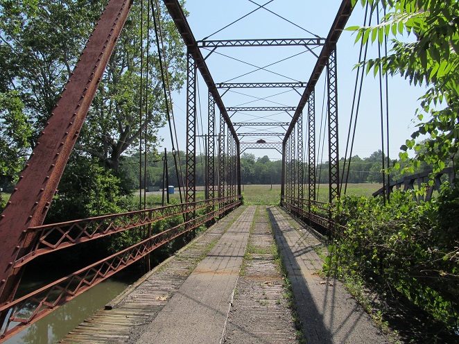
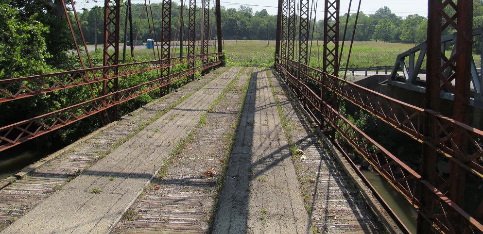
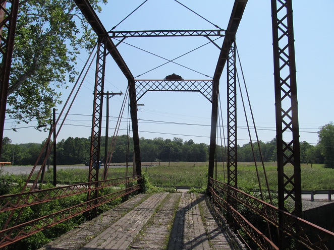
And back east. The deck is wood on wood with a sprayed-on tack coating. Not the most encouraging to walk across, but it carried plenty heavier traffic for years before now.
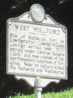
Not sure if this is an error or just an old spelling, NB in West Milford (one "L").
Continue north on US 19
US 460 and US 19/460
WV 20 and US 19/WV 20
New River Gorge Bridge and Bridge Day 2009
Back to US 19 main page
Into Virginia on US 19
Onto I-77
To I-64
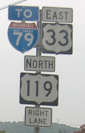
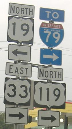
Onto US 33
Onto US 119
To I-79
Back to West Virginia Roads
Back to Roads