West Virginia Roads - US 19 - N. of Clarksburg
US 19 north of Clarksburg
All photos are southbound until the last two.
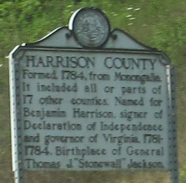
From the county line down to Shinnston.
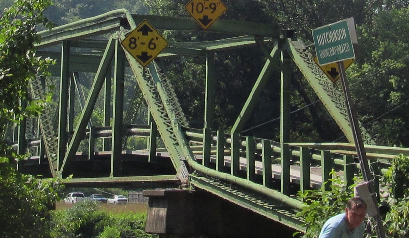
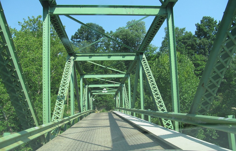
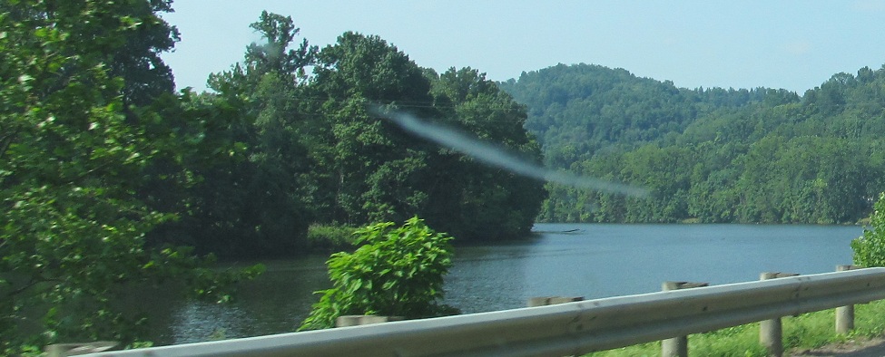
At and across the Monongahela River bridge that connects Hutchinson to anything.
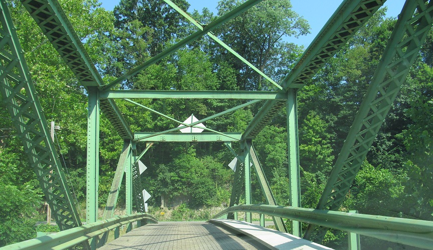
Back across westward.
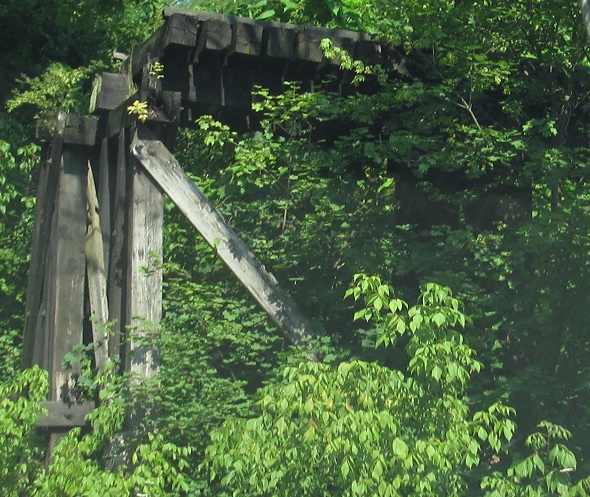
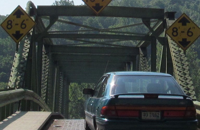
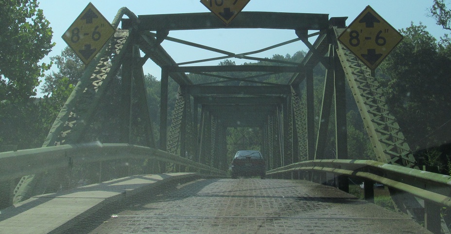
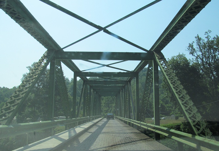
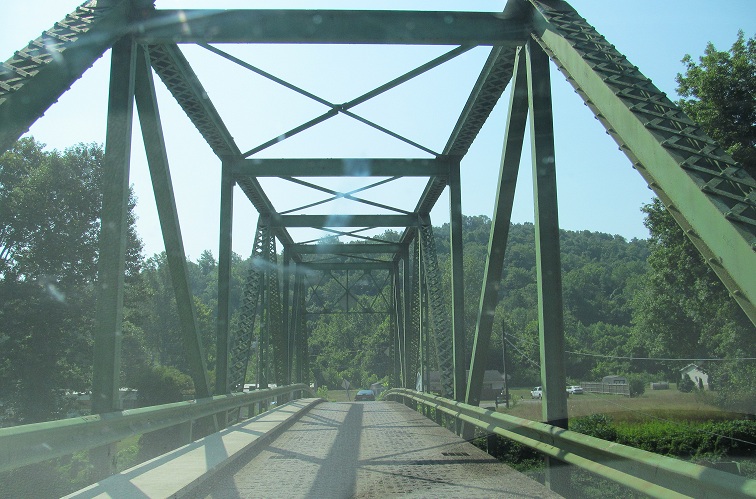
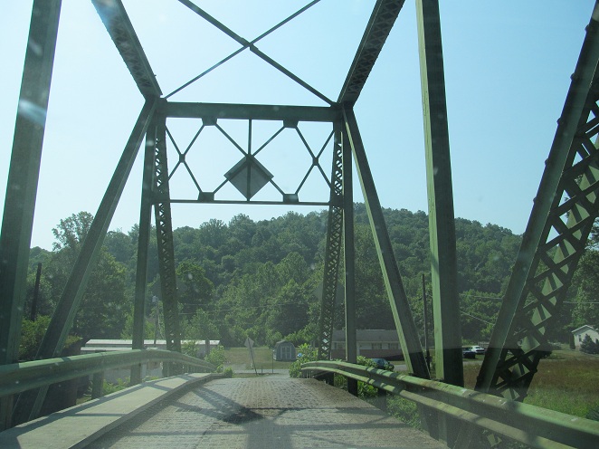
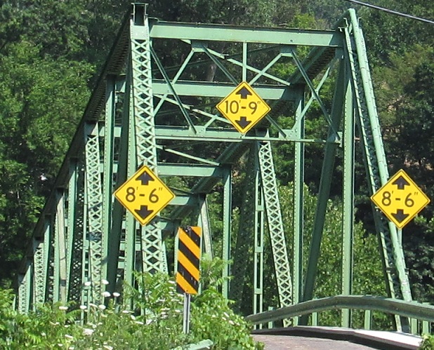
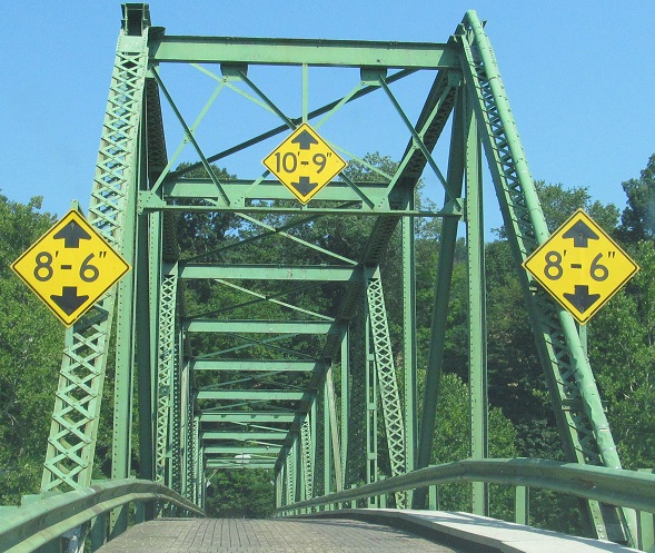
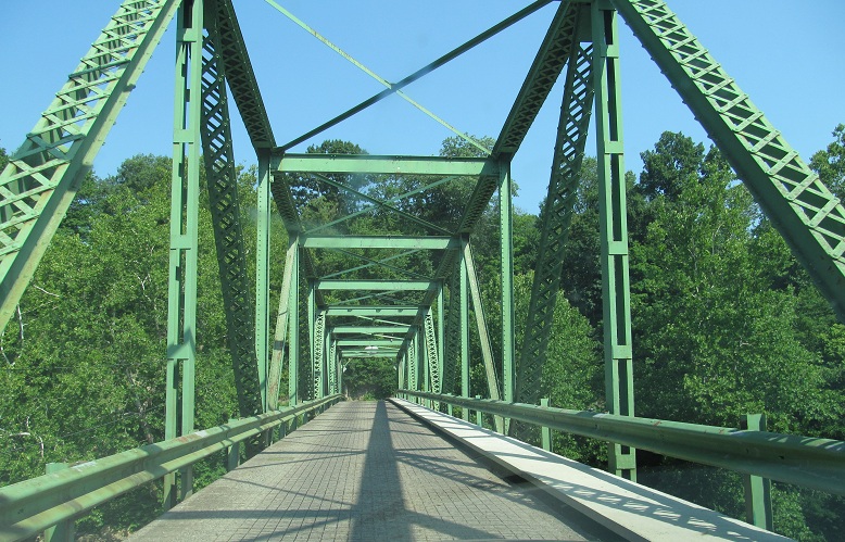
North of there, this was once a railroad bridge, back when no one knew what steel was.
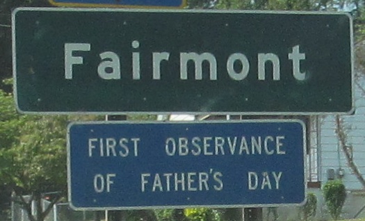
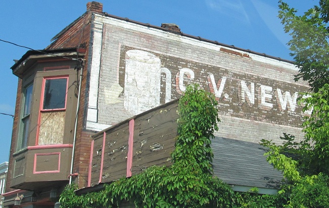
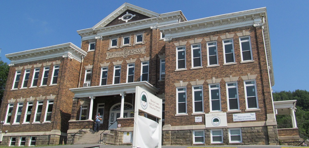
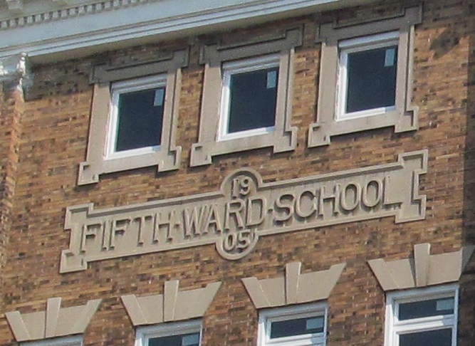
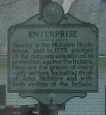
Old signs and buildings in this large small town.
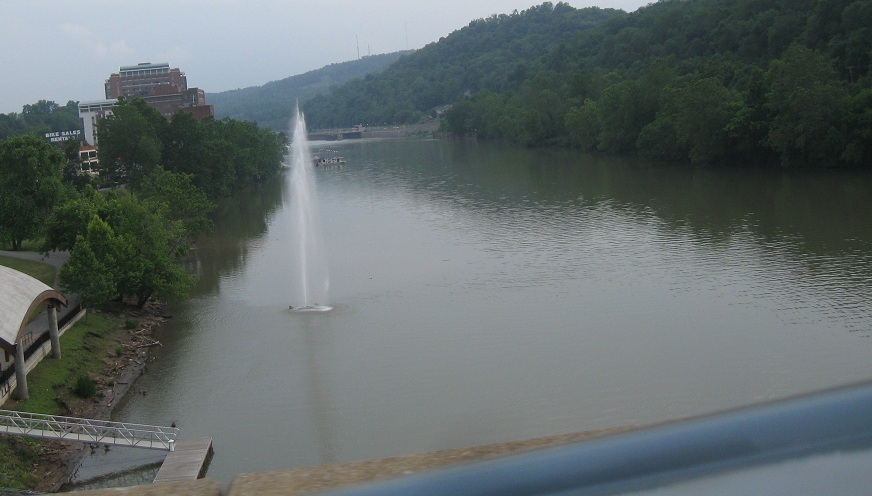
SB through Rivesville, along the Monongahela still, with a look up at the CSX railroad tracks and, still higher, an old viaduct carrying Martin St. up the hill toward Rivesville proper. (Large areas of WV remain unincorporated, so the nearest town name is often used outside of its corporate boundary.)
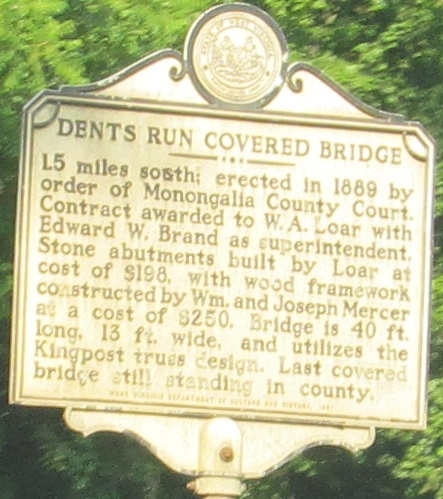
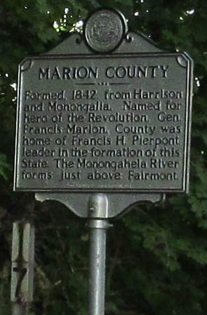
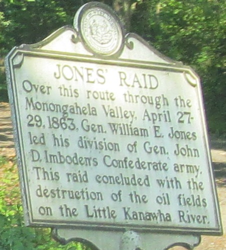
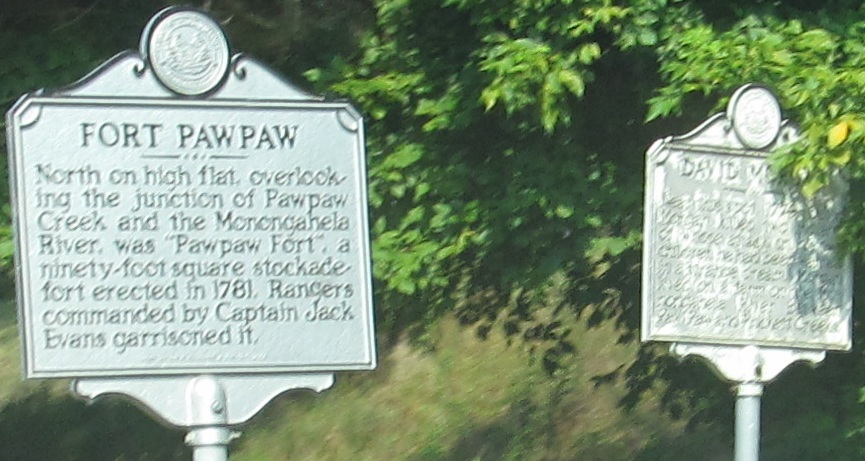
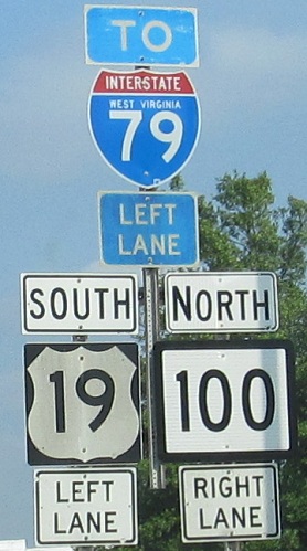
Am I the only one to notice the coincidence of having adjacent historical signs for Marion and Jones? Wonder what she thinks of that. I also notice a possible typo on the Dents Run sign for "south." The "17" sign at the lower left of the first photo is an aging county milepost; WV is one of those states where mileage resets by county on all but Interstate highways.
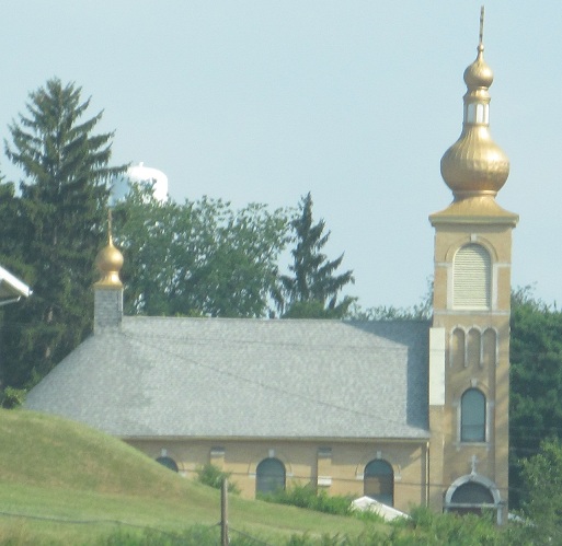
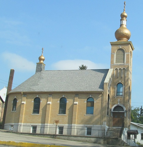
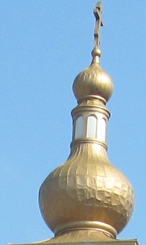
SB from downtown Morgantown across the Monongahela River (getting wider as it heads north) on the Westover Bridge and past the onion dome of St. Mary's Orthodox Church at Holland Ave.
 Last SB photo, at Fayette St. just north of downtown with WV 7 EB.
Finally, the two northbound photos, with extra-thick state route borders and extra-small state names.
Continue south on US 19
WV 20 and US 19/WV 20
Back to US 19 main page
Into Pennsylvania on US 19
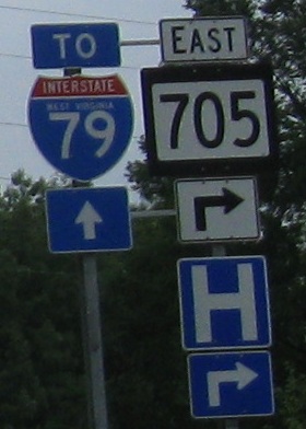
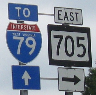
To I-79
To Dents Run Covered Bridge
Onto WV 705
Back to West Virginia Roads
Back to Roads