South Dakota Roads


US 16 ALT, at one of three identical tunnels, courtesy J.P. Nasiatka. Hard to believe something so narrow could be on a US highway. Through all three tunnels, Mt. Rushmore (the reason the route exists) can be seen, and is in the distance behind the SUV here. 16 ALT crosses underneath itself in loops much like on US 441 in Tennessee, and for obvious reasons is closed in winter.
All other photos from this state were taken by Michael Summa in 1979. The top photo was on US 18 EB, as you might see in the background.

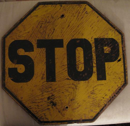
Old font, US 212 WB at SD 79 in Newell.

I have this pegged near Rapid City, though I have confusion owing to the fact that I-90 EAST is multiplexed with SD 79 SOUTH from Sturgis to Rapid City. This could be an error, or a street configuration I'm not familiar with. Note the curvature in the SD shield, which will show up again on this page, as if the shield designers were looking at an equal-area projection instead of a Mercator or similar.

And Michael has no clue at all where this one is, so I'll just stick it here because it's a cool way to sign a park.

US 18 WB/US 385 NB east of Hot Springs. That's a white on green SD cutout. I'm not sure how intentional that is, though the effect is neat. SD 79 continues to ND 22.

US 385/ND 89 NB at US 16 just west of the center of Custer.

US 16 EB, and I believe US 385 NB as well, near Custer. If I'm right, it's just north of Custer and the beginning of their multiplex (the distances check out).

North of Mt. Rushmore, US 385 comes to an end at US 85, which now is multiplexed with US 14 ALT.

North even of there, just south of Buffalo, this very old SD shield stood on US 85 SB.
Chris Geelhart's South Dakota Highways
Back to Roads


