Rhode Island Roads - RI 138
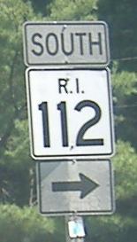
The beginning of RI 112, eastbound.
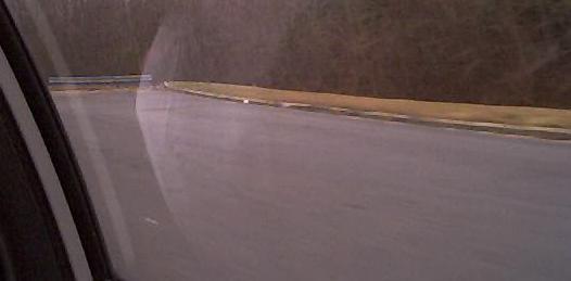
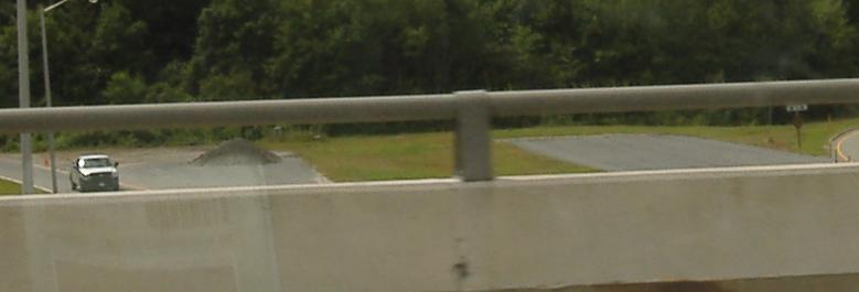
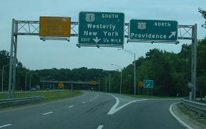
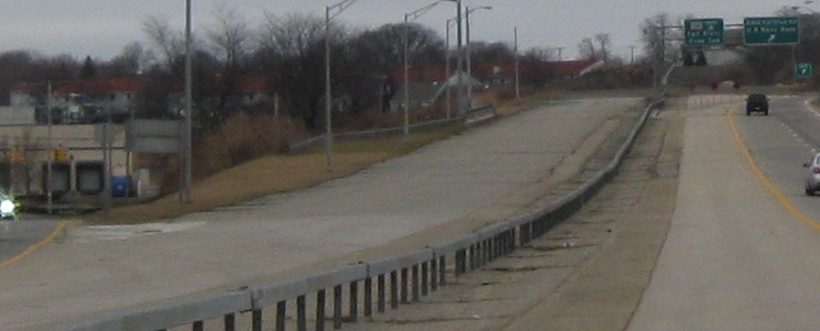
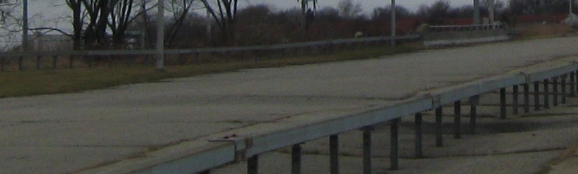
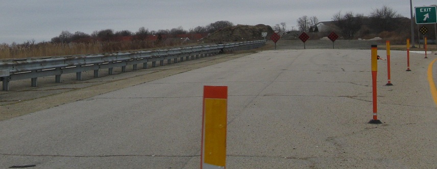
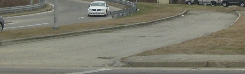
Two views of the western stub end of the RI 138 freeway at US 1, from the EB lanes and from the US 1 overpass. The freeway still might be extended out to I-95; it already has been extended from RI 1A to US 1.
Westbound, and gone now, courtesy Doug Kerr. Mourning is in order for losing button copy with an original US 1 shield.
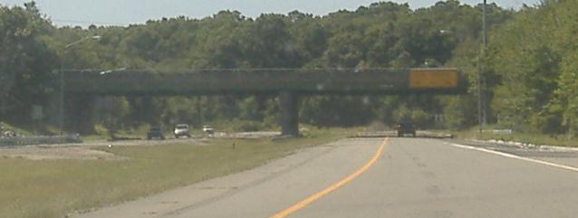
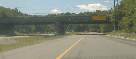
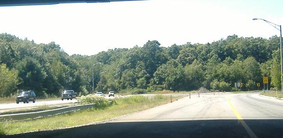
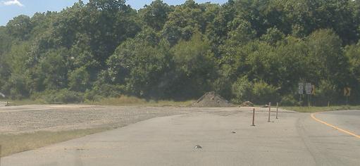
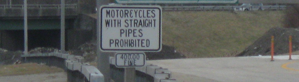
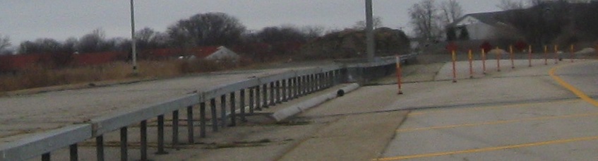
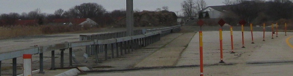
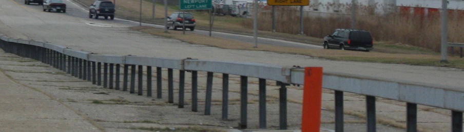
Four more westbound photos; in the first one, a ghost ramp merges in on the right, and the yellow stripe comes in from the left to turn two lanes into one; until recently, the merge happened under the US 1 overpass instead of before it.
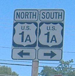
The eastbound offramp from that freeway to RI 1A, not US 1A, despite RIDOT's best attempt to confuse you.
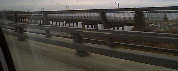
The old Jamestown Bridge, the most spectacular part of which has been since removed. It sits/sat to the south of the current four-lane bridge. I have plenty more photos exploring the old bridge, via the big link at the bottom of the page.

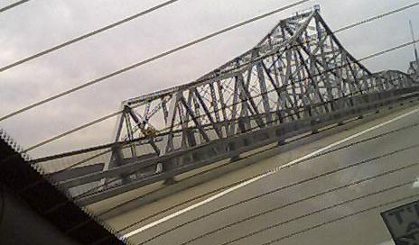
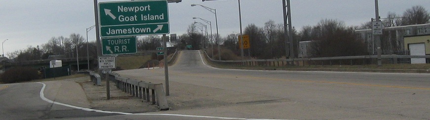
A sign for the Newport-Claiborne Pell Bridge (or just Pell), the eastern of RI 138's two major bridges and the one that doesn't have its departed brother next to it. Thanks to Doug Kerr for letting me use a non-blurry version of this sign.
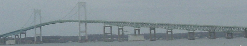
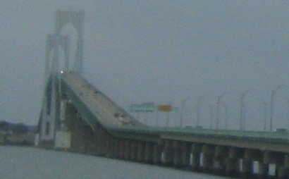
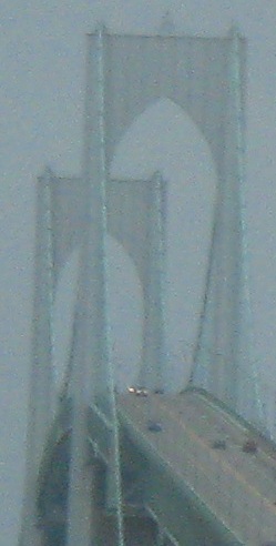
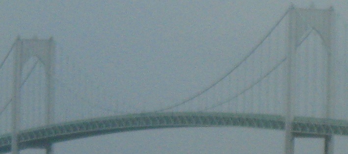
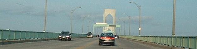
The Pell Bridge itself.
RI 138 SB turns WB here as it leaves to the Pell Bridge. Straight ahead is absolutely nothing, but was supposed to be the I-895 freeway, tying into the four lanes of America's Cup Avenue (RI 238) in downtown Newport. It died due to opposition by the rich and powerful, also known as NIMBYs (Not In My Back Yard).
Had everything been built correctly, this would have been the ramp from RI 138 EB to RI 238 SB (I-895 as it approaches its end). Instead, all of RI 238 is on what would have been I-895 NB, so the ramp continues to the left and merges in there. The SB lanes were to follow an abandoned railroad alignment under Van Zandt Ave. In theory, this is the only part of the original plans for this interchange that has any chance of coming to fruition, because all of the right of way and the northern third of pavement are all there, along with the necessary overpasses.
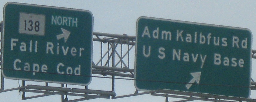
Tracing the only part of I-895 that was ever built, NB alongside the unused SB lanes until the NB side also leaves to the north of Admiral Kalbfus Rd. Did you notice the typo on the 1960's state sign?
Looking south from that point as RI 138 SB merges into I-895, splitting in the distance to RI 238 (cutting across to the "wrong" side of the median) and RI 138 WB. I find it very interesting that Newport would have had two full freeways intersecting here, but instead it essentially has one coming to an abrupt end.
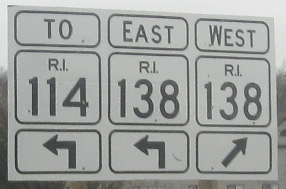
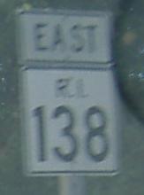
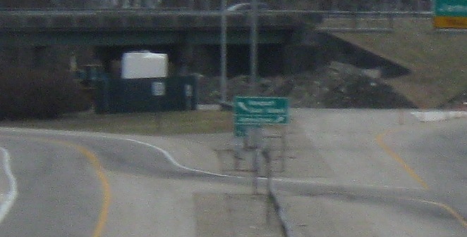
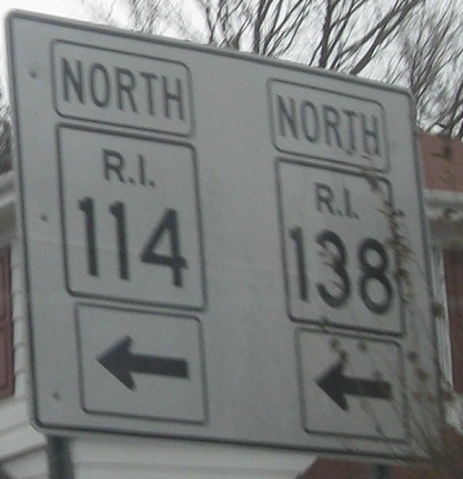
It's back to local streets for RI 138. Now that I'm forced to leave the freeway, I may as well enjoy the signs. The wide shields are on the ramp, and, oh, West RI 138 would be a U-turn if you follow it. Which no one really should from here. The button copy indicates that the freeway would have been signed as RI 138 if it were completed to the north - the I-895 designation required a completion all the way around Providence and Pawtucket to get back to I-95, which was harder to accomplish than just getting a highway in Middletown.
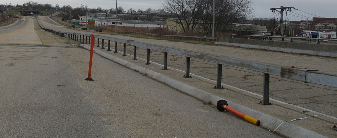
This small piece of onramp is next to the RI 138 NB offramp (also the mainline). It would have led to I-895 NB.
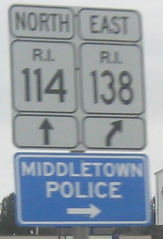
More one-piece shields as I continue north from Newport. Well, one of the new signs thinks I'm still going east, but that pretense should be ending right about here.
NB at Park Ave. in Portsmouth, which leads to the old Stone Bridge that carried original RI 138. See the pages linked below for the Stone Bridge (here and on 77).
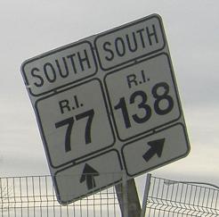
After RI 138 gets across the Sakonnet River, SB at RI 24 and the beginning of RI 77, which used to begin at the Stone Bridge.
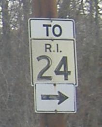
Original RI 24 shield, from a driveway opposite the 24 SB offramp to RI 138/77 at Exit 5.
The first, not very pretty SB shield in Rhode Island.
Onto the old Jamestown Bridge and Stone Bridge
Onto RI 24 and 24/138
Onto RI 138A
Into MA on 138
Into CT on 138
Up onto US 1
Onto RI 1A
More bypassed bridges; onto RI 114
More old I-895; onto RI 238
More Stone Bridge; onto RI 77
RI 138 on Steve Anderson's bostonroads.com
Back to Rhode Island Roads
Back to Roads