Quťbec Roads - QC 138 - W./E. of Pont Honorť-Mercier
East of Autoroute 973 in Quťbec City.
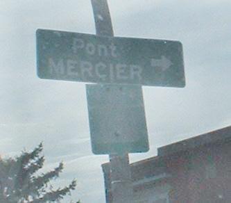
Pont Honorť-Mercier
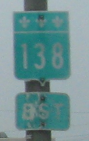
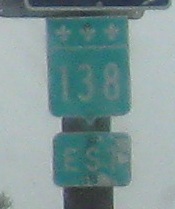
West and east of Pont Honorť-Mercier
~ QC 132 and QC 138/132
Faded QC 138 shield on Blvd. LaSalle (aka Chemin du Musťe) in Verdun, unrecognizable except in bright light, WB at Rue St-Patrick just west of QC 138. Pont Mercier, which is QC 138, is the only bridge connecting the western őle de Montrťal (anything west of Pont Champlain) to the southern shore of the St. Lawrence River.
The Pont Honorť-Mercier and connecting QC 138 freeway on Steve Anderson's montrealroads.com
Back to Quťbec Roads
Back to Roads