Quťbec Roads - A-40
Autoroute 40
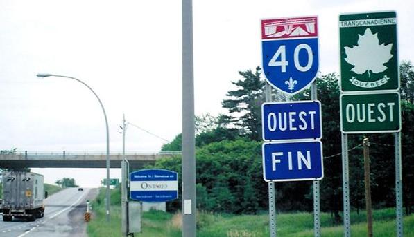
WB at the Ontario border, courtesy Averill Hecht.
A-540 is now the west end of A-30 following the new Pont Serge-Marcil connection across the St. Lawrence River. From A-40 EB, ON Highway 401 is via A-20 WB.
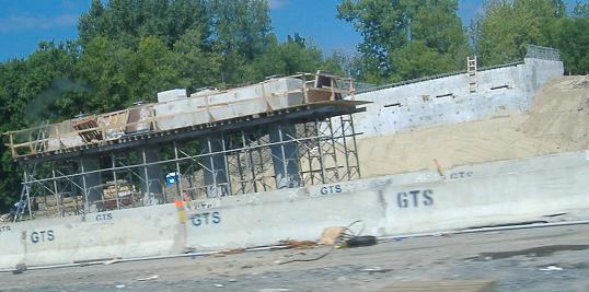
Boulevard Morgan, Sortie 44, being reconstructed over A-40 (facing east).
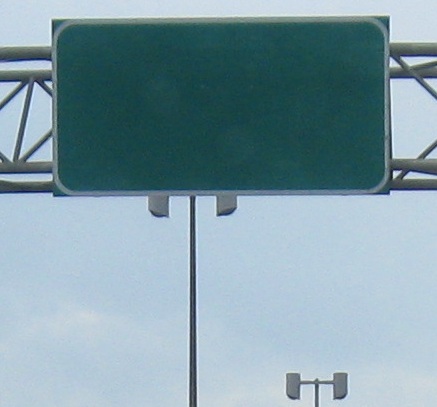
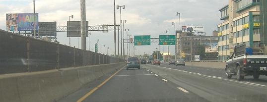
One of Montrťal's many blank signs - someone please tell me why - followed by a contrast between old (narrow) and new (wide) shields (and an off-center destination), culminating in the same on the exit ramp plus a JCT Police trailblazer. Whatever gets the message across. Both are EB.
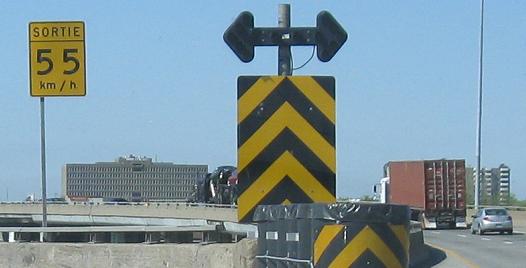
Another blank sign, this time WB, then non-functioning arrows on the WB split with Autoroute 15 SB. The U.S. commonly uses alternating amber signal lenses (or in layman's terms, yellow blinkers). In either case, it only works if the lights are on.
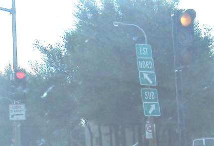
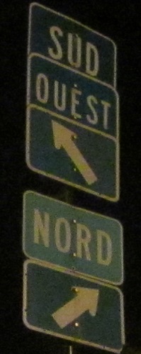
EB and WB off Sortie (Exit) 74 for A-19 (there are a lot of directional interchanges in Montrťal, so WB one must use Exit 75). These little directional plates are great for getting around Montrťal, what with its directions skewed to its street grid (at some points, "Nord" is almost due "Ouest"), but they don't help you realize A-19 begins here at Avenue Papineau. They do make some sense when you realize this is a traffic circle.

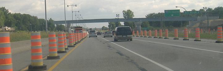
At least it has shoulders, but the Autoroute Mťtropolitaine (seen westbound around Sortie 75 for A-19) is plenty old and dilapidated.
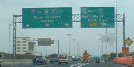
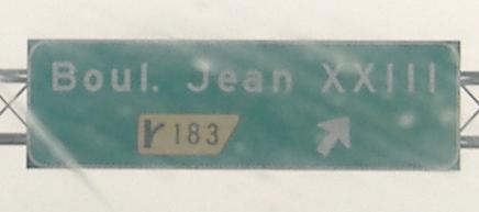
If you haven't been to the A-25 page yet, this sign will confuse you, but in short, A-25 was incomplete across RiviŤre-des-Prairies until 2011. For about 12-15 years prior, A-25 followed Blvd. Henri-Bourassa, QC 125, and A-440 to fill in the gap, but the original routing was via A-40 between 25 and 125, leaving an unnumbered freeway stub. A-40 is actually heading northeast here at QC 125, so it didn't make sense to have A-25 Sud (South) on it. This photo was taken in 2001, and Quťbec probably missed the left BGS when altering the route of A-25 onto Boul. Henri-Bourassa (cutting some distance, but missing out on some higher speeds on A-40). The blank space on the exit sign looks like it's because a redundant QC 125 shield was patched over an A-25 shield (A-25 NORD), which itself was patched onto the sign years ago; it still should have been TO A-25 Nord. And straight ahead should have been TO A-25 Sud.
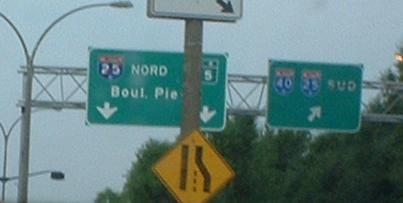
QC 125 (Boul. Pie-IX) NB at A-40. The signs appear to reflect the original state of affairs, when A-25 north followed QC 125 from here on up, but if you look closely you'll see red tape over the A-25 shield on the left BGS and the Sud on the right BGS. In other words, one was then supposed to use A-40 Est to both directions of A-25... except the best way to go north was still straight ahead, or else you'd be backtracking several kilometers to come right back to 125. Now that A-25 has been completed, hopefully these signs were replaced, because the red tape just doesn't cut it. (Get it? Tape? Cut? I'm terrible today.) It's not too hard to ignore the tape and follow the best route straight ahead... it's only hard to see it in the first place.
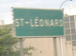
Old WB town line sign. Well, really a neighborhood sign, as almost the whole island is part of Montrťal (at least east of A-13).
EB with A-55 SB outside Trois-RiviŤres. I explain why they multiplex below.
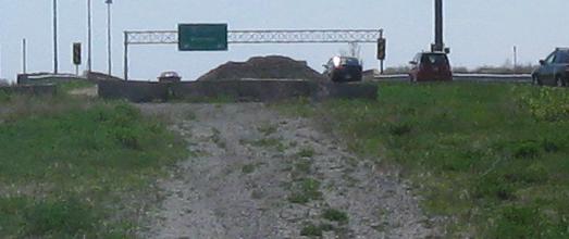
A-40 Stub, Trois-RiviŤres
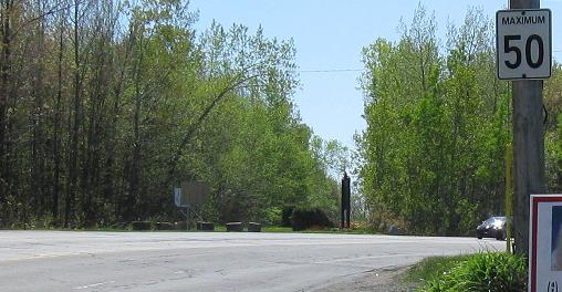
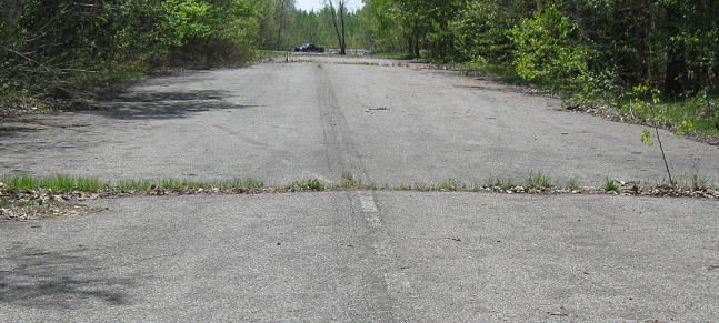
East of the A-55 interchange, A-40 was meant to continue straight around the north side of the city, continuing around Cap-de-la-Madeleine and flowing seamlessly into the rest of A-40 toward Quťbec City. Now, I am not exaggerating when I say that 100% of the right of way is clear and waiting for this freeway, but for mysterious reasons the A-40 routing goes straight through the heart of Trois-RiviŤres and Cap-de-la-Madeleine, then comes to a 90-degree turn with a wide median where it rejoins the intended alignment. Also, A-55 has a perfect half-cloverleaf at its western junction with A-40, and the highway continues eastward a short distance as an abandoned stub. Access is from Boulevard des Chenaux just to the north.
Westward onto the former Boulevard des Chenaux, which was rerouted around the A-40/A-55 interchange. It was made four lanes from the original two (as seen on the abandoned roadway) to handle the traffic from the northern half of that interchange, which has full access to and from the Boulevard.
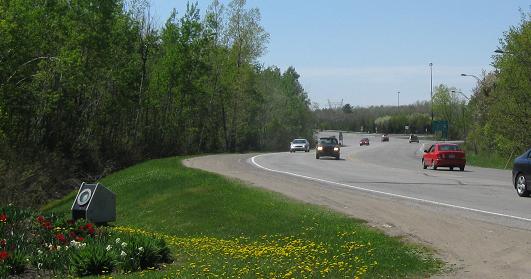
The modern Boulevard (WB) bows far to the right of the cloverleaf, in anticipation of the outer WB-NB finger ramp.
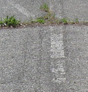
Heading west to the NB-WB loop, looking at the white center pavement stripes that date this interchange to the 1960's or earlier, about when the changeover to yellow stripes happened in North America, and then ending at a fairly wide grassy reserve that was cleared of Boulevard pavement for the WB-NB ramp that's not there.
Facing east where the modern and old alignments converge.
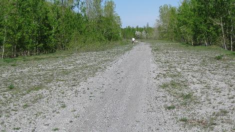
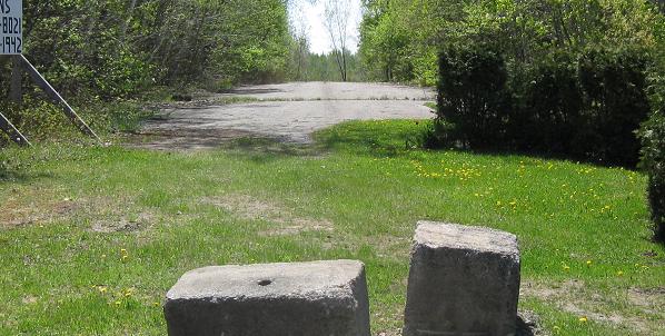
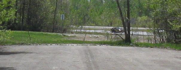
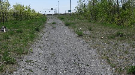
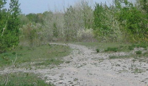
Out a small access driveway to the cleared and graded A-40 stub, looking east on the WB side. As you can see, this is a popular hiking trail. For roadgeeks. Who happened to be in my car that day.
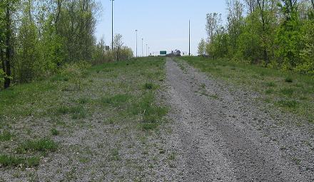
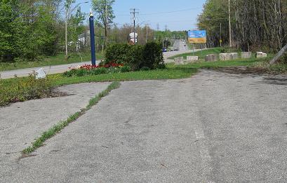
Heading the proper direction into the interchange. As traffic merges into A-40, the overhead gantry was set up to be wide enough for a WB-SB exit, but since traffic can just U-turn at Boulevard des Chenaux, the west-side loops weren't built, so there's just a reassurance BGS.
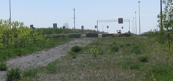
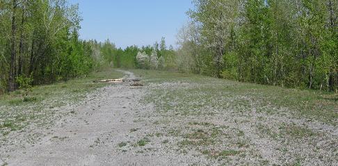
Looking west on the EB side into the end of the active freeway. Again, there is a setup of boulders blocking the way, although in this direction there's actually a chance of hitting them.

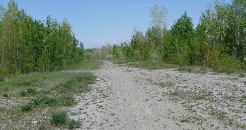
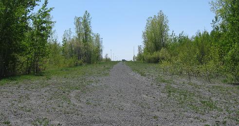
Walking (well, jogging) (okay, running because no one else wanted to spend that much time around here) back eastward on the EB stub back to where the trail comes in - the only good way to get from one side to the other.
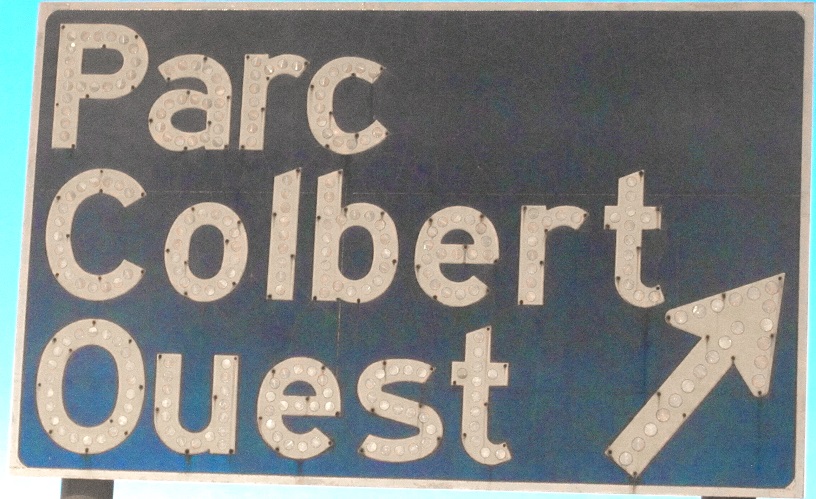
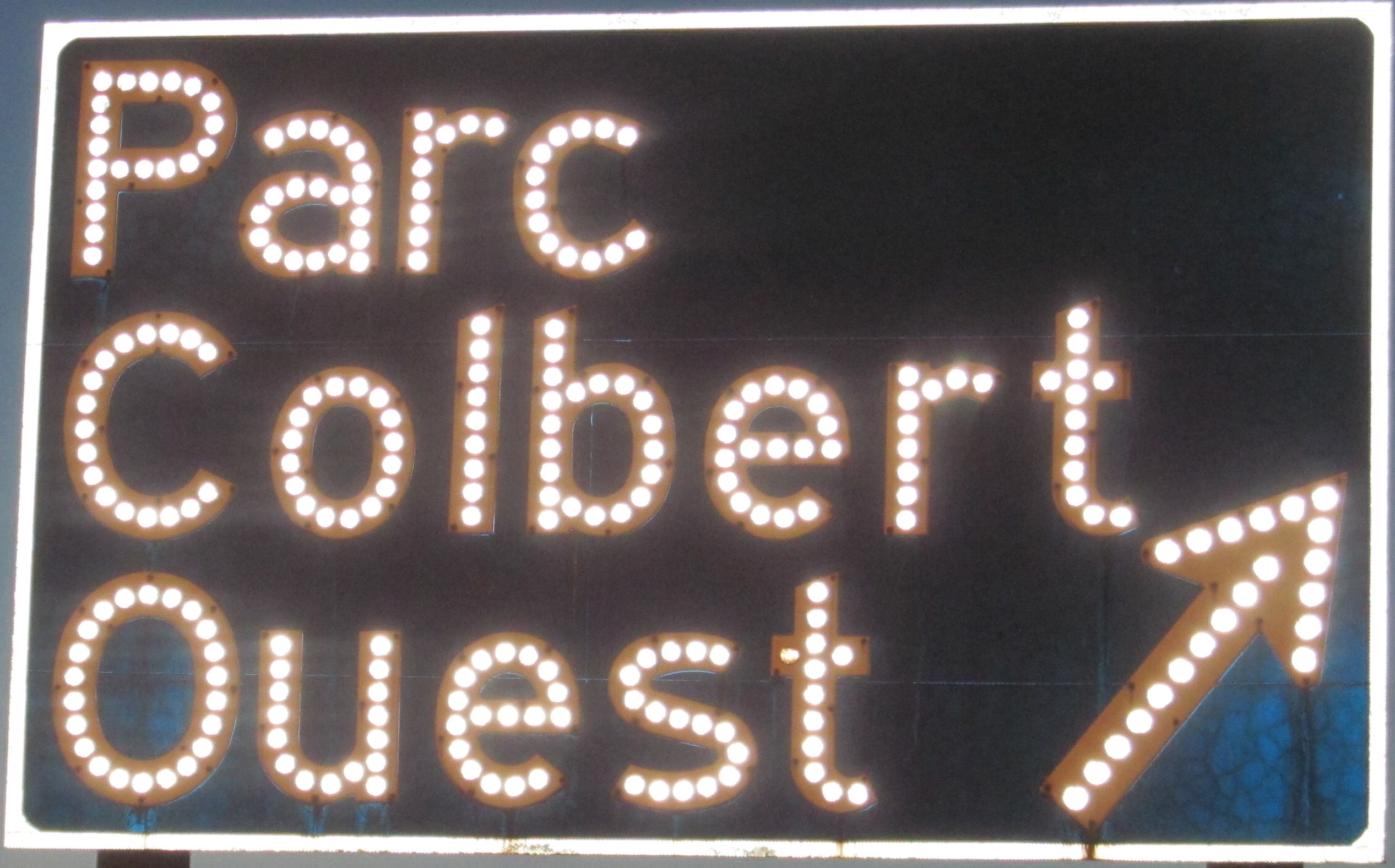
Rue Einstein WB alongside A-40 WB just west of Quťbec City, quite possibly the only button copy left in Canada (unless Calgary has something to say about it), let alone in Quťbec. Of course, it was erected by a private entity, those responsible for the industrial Parc Colbert. Click for flash-lit closeup and thanks to Carl Tessier for pointing me to it.
Ancient signs, WB at and onto A-73 SB.
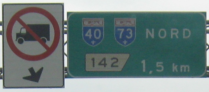
A-40 EB/A-73 NB, which exit themselves as A-573 continues north a little bit. Like at Trois-RiviŤres, A-40 was intended to cotninue due northeast (at St-Augustin) instead of dropping southeast in the corridor of intended A-440. Sortie 142 (A-73's numbers) would still have had A-73 exiting itself to jog east, because as far as I know there was no plan to continue 73 up the 573 corridor, but A-40 would have sailed straight through. It appears that the signs are actually old enough to reflect that plan, so that both directions of A-40 would have been off this exit, as opposed to incorrectly referring to A-40 EB as NB.
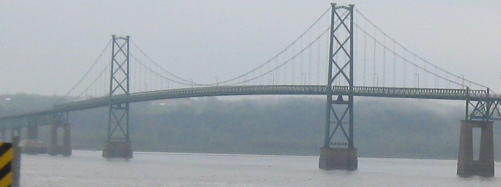
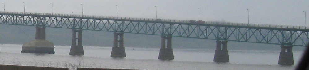
A-40 WB begins here (along QC 138) at Pont de l'őle d'Orlťans, or Orleans Island Bridge. QC 368 begins here and loops around the island, coming to a tripoint at the far side of the bridge similar to QC 132 at the Gaspť Peninsula.
Into Ontario on Highway 417
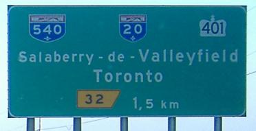
Sortie 32 to A-20
Sortie 32 to Highway 401
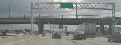
Sortie 60 to A-13
Sortie 74 or 75 to A-19
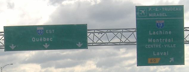
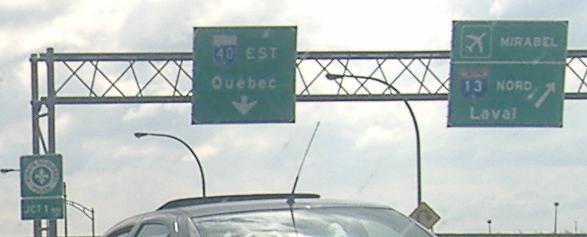
To A-25 (alone, if you will)
See more of Montrťal
Onto A-55
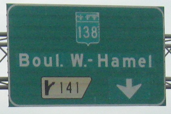
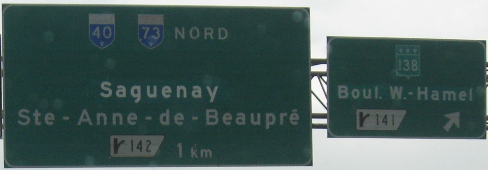
Sortie 141 to QC 138
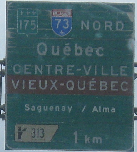
Sortie 313 to QC 175
Sortie 313 to A-73
Back to Quťbec Roads
Back to Roads