Quťbec Roads - A-30
Autoroute 30
A-30 has been the most piecemeal freeway in North America to share one designation. There were no fewer than four distinct pieces of A-30, from a two-lane bypass of Salaberry-de-Valleyfield to a two-lane bypass of Bťcancour, with two four-lane (or even six) freeway segments between them. Well, eventually, all of the pieces are supposed to connect. To that end, A-30 was extended west to Autoroute 40 via a toll bridge, taking over the western A-540. The Valleyfield section of A-30 (from when 30 was intended to stay on the south shore of the St. Lawrence) became A-530, and the two divided freeways have been connected around St-Constant, which was by a good margin the smallest of the three gaps. So now there are only two pieces of 30, and that's comparable to the situation faced by I-74 in the U.S. There isn't as much traffic northeast of Sorel, so there are no immediate plans for that connection.
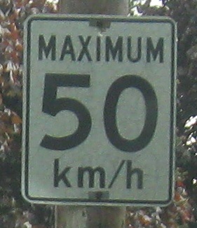
Rue de la Gare SB beyond the A-30 construction, at a sign that likely dates to the metric conversion of the 1970s.
A-30 construction west of Melocheville
~ Autoroute 530, former A-30
A-30 construction, Melocheville to Ch‚teauguay
~ QC 205
~ QC 236
~ QC 132
A-30, Ch‚teauguay and east
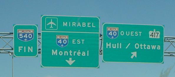
Before A-30 took it over, this was A-540 (Montrťal) NB at its end, courtesy Lou Corsaro. Quťbec routinely ignores the Trans-Canada Highway, which follows A-40 and ON 417.
Onto A-40
To ON 417
Back to the Montrťal Road Meet page
Back to Quťbec Roads
Back to Roads