Québec Roads - A-25
Rue Hochelaga NB at Rue Curatteau, reflecting the former extent of A-25 prior to bridge completion. Now it deserves a better northward destination than just A-40. (What's covered on top is a 90° left arrow.)
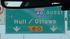
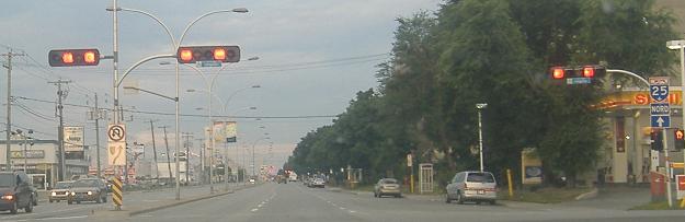
NB well before the new toll bridge opened to complete the A-25 freeway. That's not 8 times 0 (which is just 0, as we all know), that's actually 8W (west) in French (ouest), and, as you can see, the greenout is a much more effective way of telling traffic to continue straight for A-25 than the red tape seen on the A-40 page (linked below).
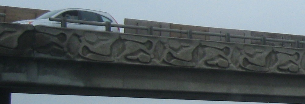
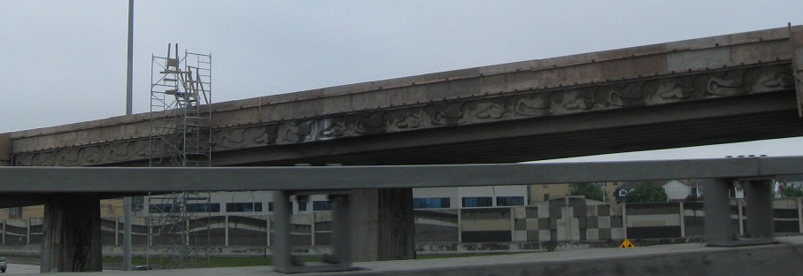
The decorative A-40 WB ramp to A-25 SB, seen traveling NB and then looking back to the southeast.
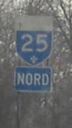
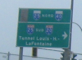
QC 125 NB, Boulevard Pie-IX (Pius IX), then signed as A-25 due to the missing freeway link through northeastern Montréal. It's a major north-south (in Montréal directions, which translates to roughly west-east) corridor on the eastern Island of Montréal. QC 125 between A-40 and the northern shore had been Temporary A-25 for awhile, but in the 2000s, 25 switched from A-40 to following the more direct route of finishing off the Boulevard Louis-H.-Lafontaine freeway to Boulevard Henri-Bourassa Est. When I first visited in 2001, a lot of the signs from that first routing remained, but were altered to help you follow the new route. On the other side of the Rivičre-des-Prairies (which is really just the middle third of the St. Lawrence River), A-25 ran with A-440 northeast for a few km until 440's planned end at the future A-25. Well, the future is now, so you won't be able to follow the old temporary route anymore. Anyway, this photo is on Blvd. Pie-IX, and I really took it to point out the left-turn signal. Having the arrow outside the red squares looks logical enough on the through signals, but very odd on the left-turn signal, since the yellow circle stays inside the red squares.
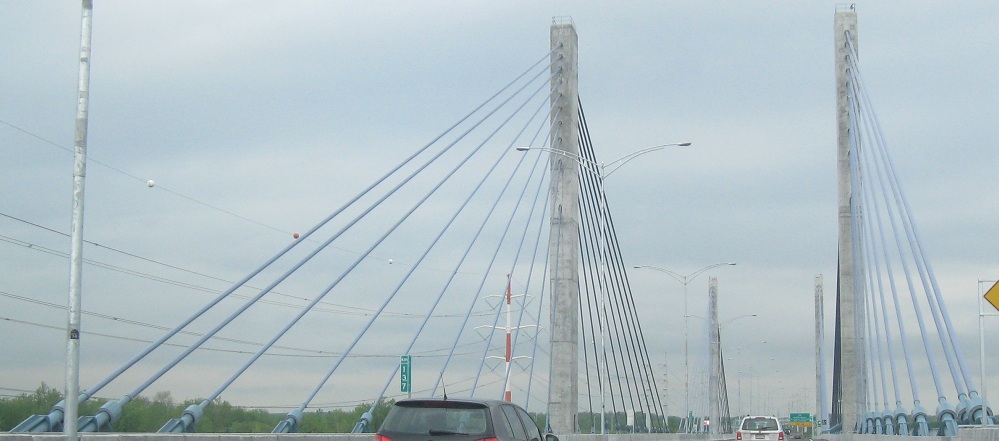
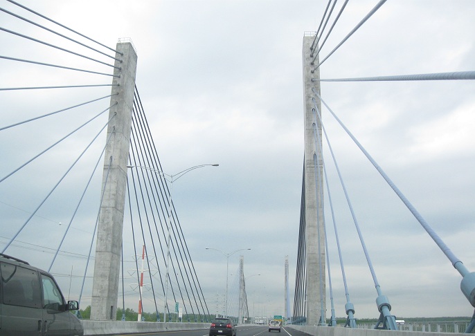
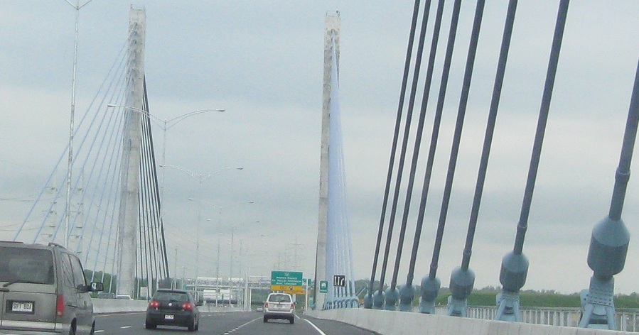
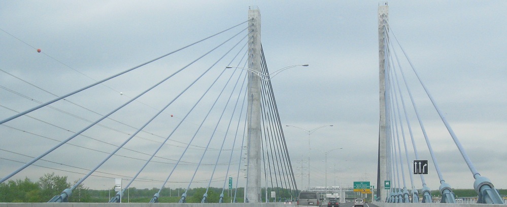
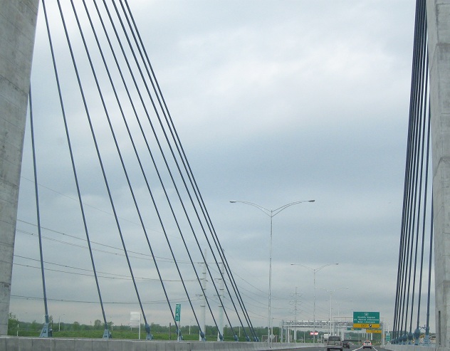
Across the new toll bridge, named Olivier-Charbonneau after a pioneer settler of Montréal.
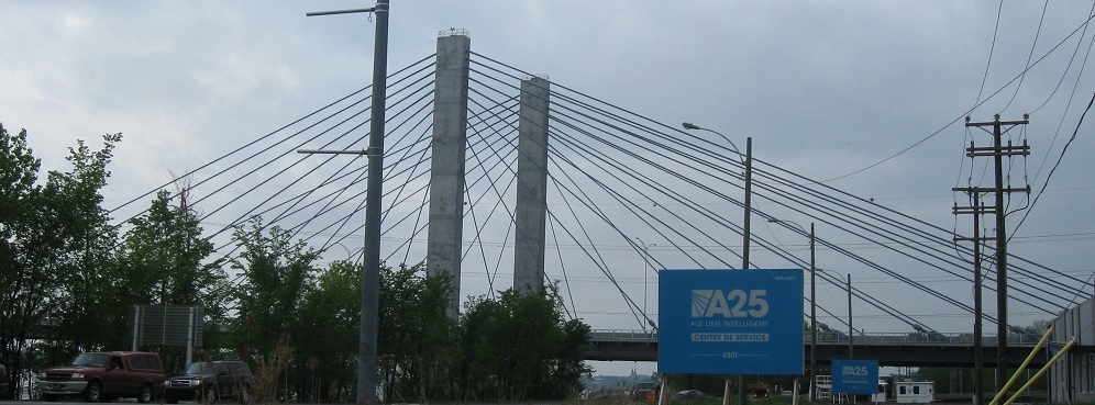
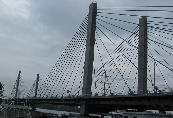
Looking west from the toll authority headquarters (or "service center") on Île Jésus (city of Laval).
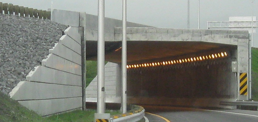
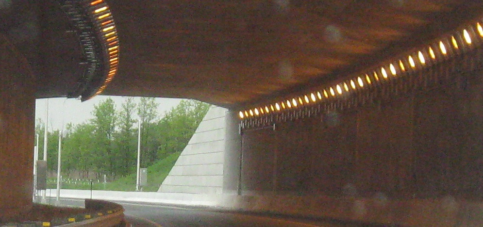
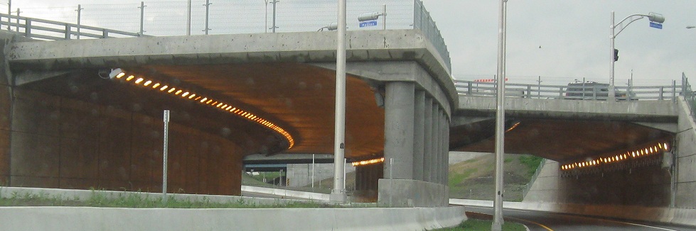
Also new with the completion of A-25 is this tunnelled ramp from NB to A-440 WB, Sortie 16. It first passes under A-25, followed by the QC 125 intersection with Rang du Bas-St-François.
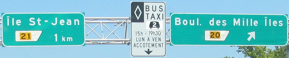
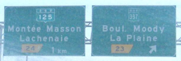
Sortie 20 is along the north side of Île Jésus, the island that has Laval and other Montréal suburbs on its southwest two-thirds but is mostly farmland up here. Île St-Jean is one of those thousand (mille) islands, and is the by far the most settled one. There aren't really 1,000, by the way. The second photo is included to show the contrast between the older shield style and the new, wider BGS shield. At least on a BGS, it's much easier to read the wider shield, but I'm not ready to embrace it.
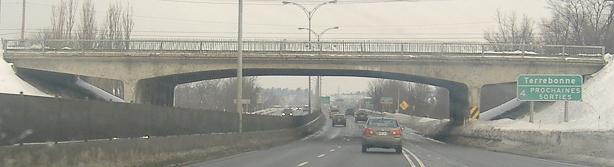
Between those two BGS photos, Terrebonne starts at Sortie 22. This is here for the old overpass, actually Boulevard des Milles-Îles at Sortie 20. If suburbs continue to extend up the A-25 corridor, this bridge is going to be the first to be replaced.
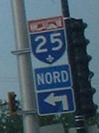
Not even a language barrier prevents RIDOT from erecting a trailblazer shield.
Sortie 8 to A-40
Back to the Montréal Road Meet page
See more of Montréal
Back to Québec Roads
Back to Roads