Québec Roads - A-15
Autoroute 15
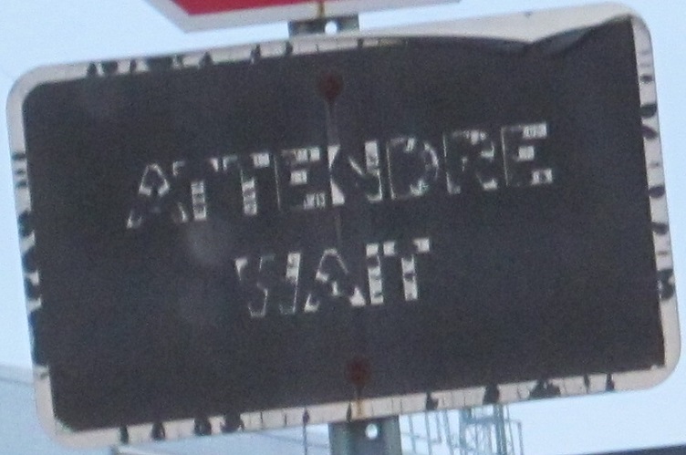
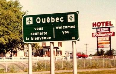
You have arrived at Québecois Customs when French comes first.
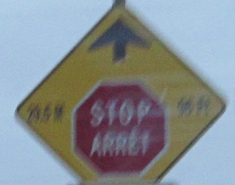
The only stop sign on the mainline of an Autoroute? Not even close. A-30's disparate pieces and A-955 have more than you could ever want. The Québec-standard signage for a 4-way stop, here just north of New York in the customs area, is pretty neat. Now if you want to ask if the sign leaving customs is the only use of feet in Canada, we can think it over.

Historical signage after crossing the border, taken by Averill Hecht in August of 1980.
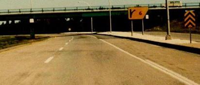
Another Averill Hecht photo from August 1980, this shows that the old directional diagrams found on BGS (or BBS) exit tabs was also found on ground-mounted exit signs. The current gore signs keep the color and shape but only have an arrow under the number.
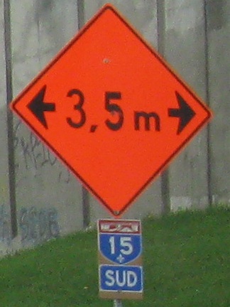
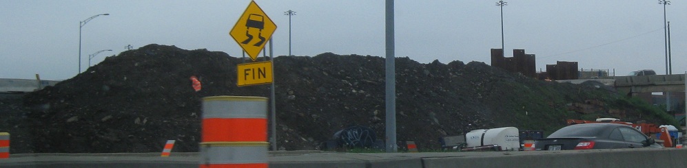
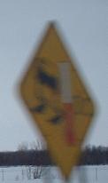 Slippery when freezing, metric-style.
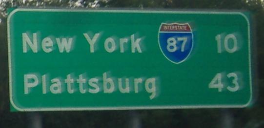
Distance sign, wrong-style. PlattsburgH has an H.
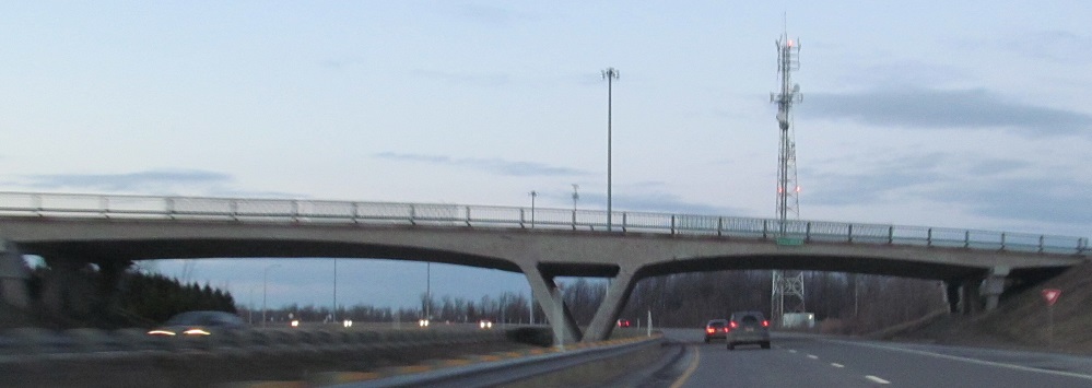
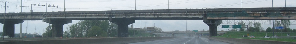
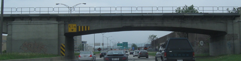
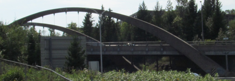
This bridge style shows up all over Québec, the one used when much of the Autoroute mileage was first constructed. It looks a whole lot better than the boxy American overpasses.
NB on A-15, warning of the upcoming Décarie (construction has long since finished). Courtesy Doug Kerr.
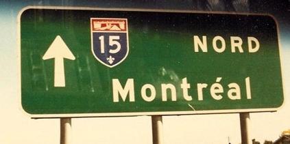
Now this would be very old signage, but back in April 1991 it wasn't quite so old (though not exactly shiny and new either). Notice that A-30 was not yet on this sign; it still stub-ended at A-10 to the northeast in 1991, only later connecting into QC 132. Photo courtesy Averill Hecht.
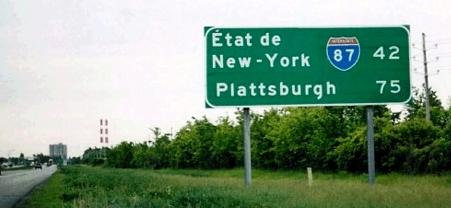
SB in the same spot, with the same photo taker, but a modern photo. I feel like "New York" would have been sufficient next to the I-87 shield, like in the first photo. At least Plattsburgh is now spelled correctly.

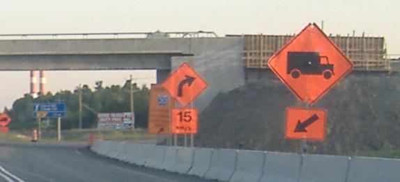
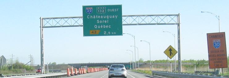
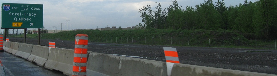
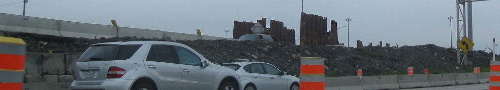
Heading south from the A-30 interchange, there is a lot of new construction a kilometer or so down. This will be the realigned A-30 to go around the south side of St-Constant. Although QC 132 has been widened along that 7-kilometer corridor, wide enough for a freeway with frontage roads, the pleading of that town and Ste-Catherine persuaded Québec officials to move the alignment. Apparently the 2-km piece of A-30 orphaned by this move, on the west side of the towns, will be numberless. I recommend 930.
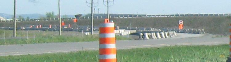
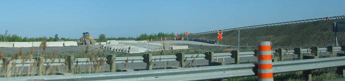
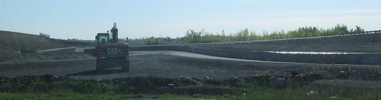
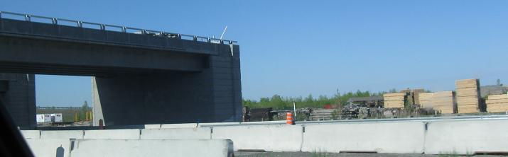
The progress of construction in May 2008, from the northbound perspective (last photo is facing southwest over my shoulder). Assuming the interchange will be a cloverleaf (they are still often used in Canada), the ramps you see here are probably temporary construction ramps. The eastern half of A-30 has much less work to go than the western half - including far more than just this one bridge abutment.
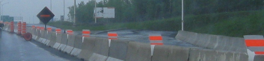
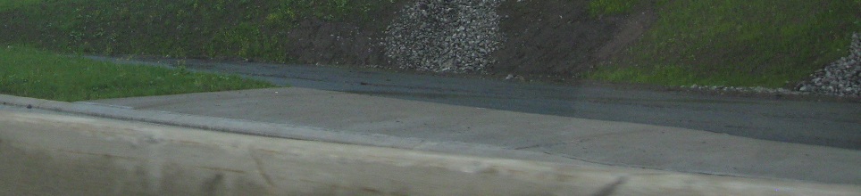
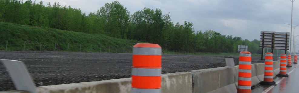
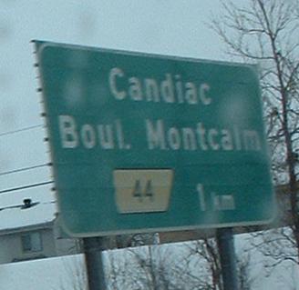
Heading north from the new A-30 interchange to the old one (now A-930), there seems to be work underfoot to make a future C-D or frontage road between the two. There will also be a NB off/on-ramp pair just north of A-30, with the offramp stub displayed here. My only guess as to where this would head is the Candiac train station, maybe some sort of Park and Ride facility.
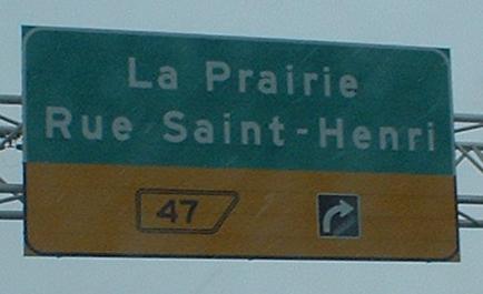
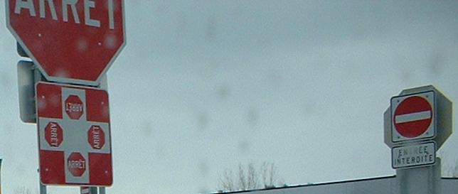
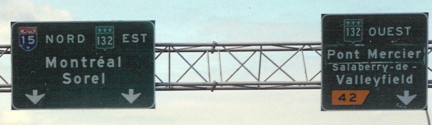
After picking up QC 132 EB, here's one old NB sign and one weird one. The sign on the right is Québec's way of signing "Exit Only". Beats language-specific signage, but confusing to the average American.
Southbound in August 1980, courtesy Averill Hecht.
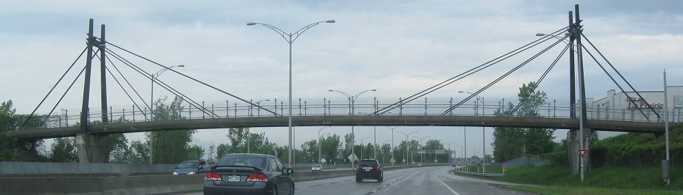
Artistic pedestrian overpass.
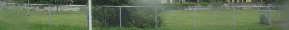
I never would have known it before traveling with a local, but in fact this wall to the right of A-15/QC 132 is the former edge of the St. Lawrence River. The easiest way to avoid disrupting communities is to build the freeway where no one lives, and the river is one such place.
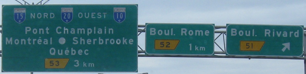
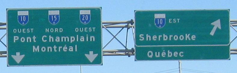
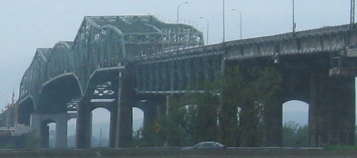
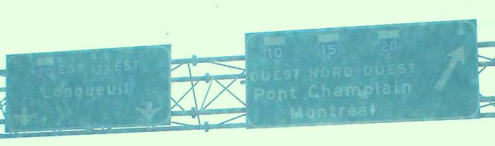
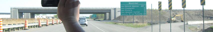
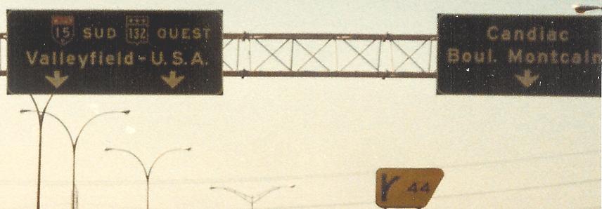
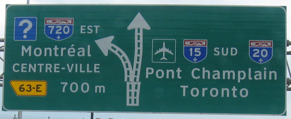
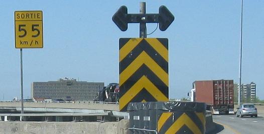
The same dot that's on signage on A-35 to separate destinations and conserve space, and unnecessarily narrow-font shields, showing up on NB A-15. A-20 wasn't supposed to come in here, but should have crossed where A-25 does now and followed A-720 on the other side of the river. This interchange is actually a double trumpet from 15/20, with each trumpet serving a single side of A-10. A-15 NB and A-20 WB both follow the same one-lane ramp, with a 50 kph curve, into a merge with A-10. That is positively nasty, as is the condition of the overpass. (As is the condition of the bridge to the west, for that matter. If you knew the full details of all bridges' structural conditions, you'd never cross anywhere in this city, but this is the worst.) For photos from the bridge and the A-15/A-20 multiplex, see the big link at bottom.
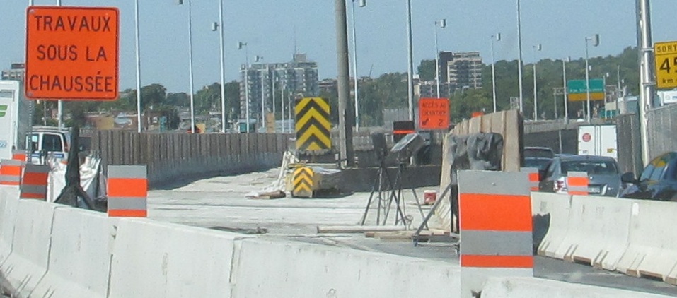
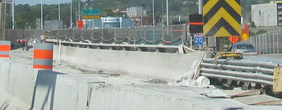
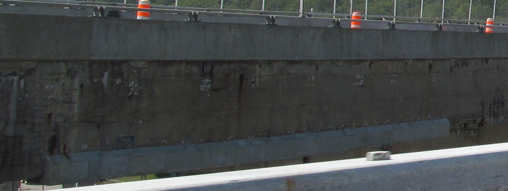
Construction is just a fact of life around Montréal. As A-20 WB leaves to the right, A-15 NB has active bridge rehab work going on. There's a wall to shield workers from the eyes and cars of drivers, but my camera can sneak in behind it magically.
Looking left at the SB flyover of the A-20/A-720 interchange (Sortie 63), it's clear that that side also needs some construction.
SB approaching Sortie 63, with shields too large and then a shield too small. Oh, and I have no guesses for the overhead arrow being off. You'd think the entire sign was fabricated by one company that would get such a thing right.
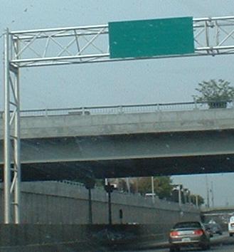
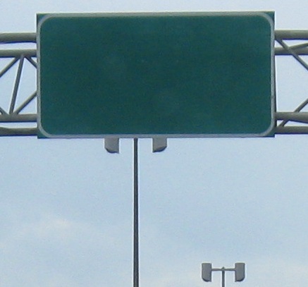
A blank BGS?? There are a few of these all across Montréal, and are about the most useless thing I've seen adorning a highway. Here you see the trenched section of Autoroute Décarie, much less falling-apart than the elevated A-15/A-20 section.
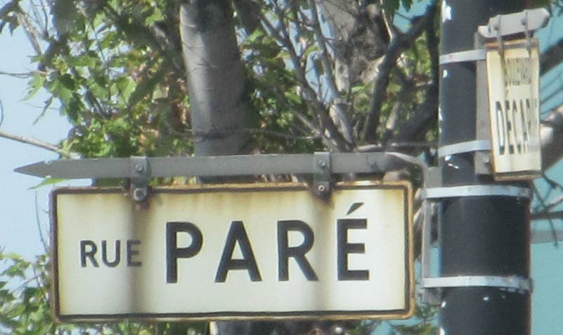
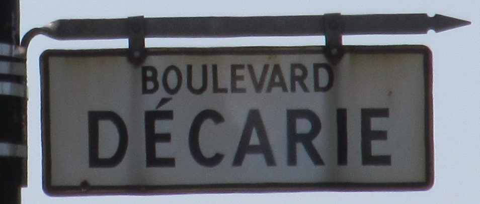
Old street signs along the NB surface route, probably dating to when A-15 was sunk underneath and Blvd. Décarie became frontage roads for its eponymous freeway.
Along A-15 SB/A-40 WB, yet another blank sign, then to the southwest end of the multiplex, where A-15 splits to the left and A-40 to the right at what I presume would be a flashing arrow if it were working.

SB through median construction north of A-40, then merging into right shoulder construction on A-40 WB.
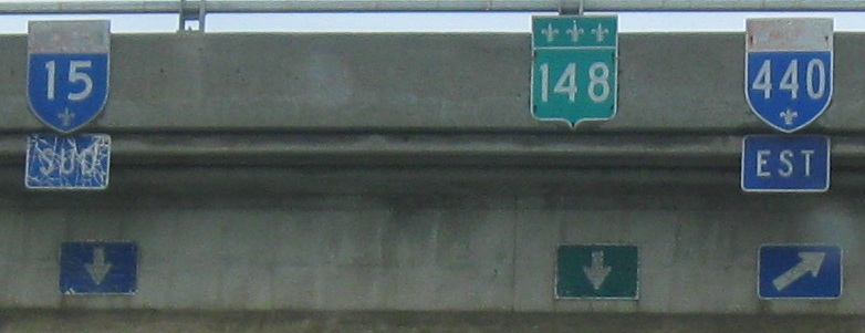
Autoroute des Laurentides (Laurentian Autoroute), A-15 SB on the frontage road at A-440 and then under a railroad after Rue Sauvé. Although old and piecemeal, this is one of the only assemblies left that shows QC 148 following Blvd. St-Martin instead of ending into A-440.
Autoroute 15 once ended after bypassing St-Jérôme, and these signs are on what's now the short Sortie 45 freeway, allowing you to compare the old and new practices for BGS shields (I prefer the old). QC 117 still has to exit itself to avoid turning into A-15 here. Notice that we already made it past Sortie 45 in Montréal; this is the only place in Québec where exit numbers reset to 0 along an Autoroute, beginning at the A-15/A-40 junction. Even A-20, which appears to reset upon exiting Pont Champlain to the east, is just borrowing QC 132's exit numbers (from when this was intended to be part of A-430 or a similar 3-digit Autoroute), and they resume the old progression from the A-25 interchange. (It also has to do with the intent to have routed 20 along A-720, but that's far off the topic of A-15.)
In that spirit, here's a southward look at the artful Exit 67 (northern) overpass carrying QC 117 SB.
Sortie 53 to Autoroute 20 and A-15/20/10
Into New York on I-87
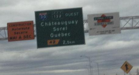
Sortie 42 to Autoroute 30
Sortie 42 or 53 to QC 132
Sortie 53 to Autoroute 10
Sortie 63-E to A-720
Onto Autoroute 40
Onto QC 148
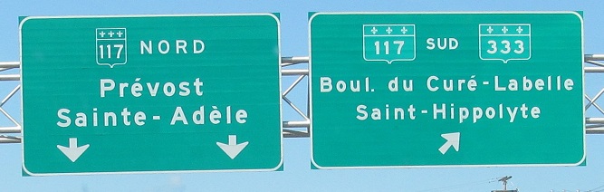
Onto QC 117
See more of Montréal
Autoroute René-Lévesque (A-15/A-20/QC 132), Autoroute des Laurentides (A-15), and Pont Champlain (A-10/15/20) on Steve Anderson's montrealroads.com
Back to Québec Roads
Back to Roads