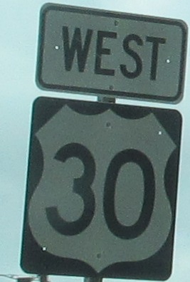
Pennsylvania Roads - US 30 (E. of Columbia)/Girard Ave.
 east of Columbia, US 30/Girard Avenue in Philly
The last remaining button-copy GS on the stretch of US 30 freeway from Lancaster toward York, found traveling westbound.
3,690 miles passes really quickly on the Trans-Atlantic bridge from Lancaster.
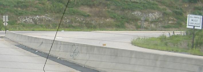
The WB offramp to PA 23 into Lancaster. Funny, that says All Traffic Turn Right, but it looks like left turns are permitted. Maybe you'll have to visit the PA 23 page (link below) to find out more.
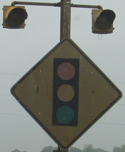
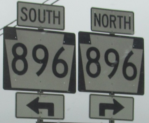
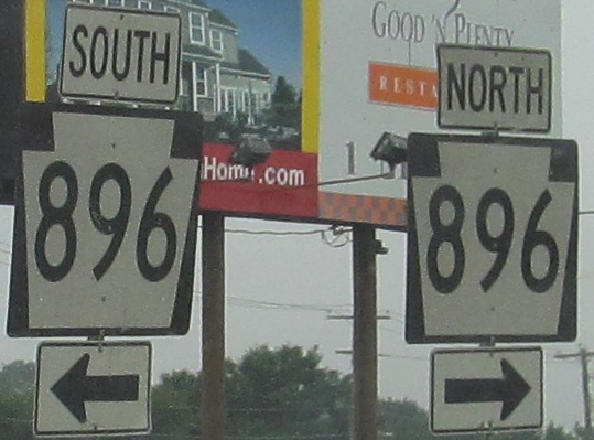
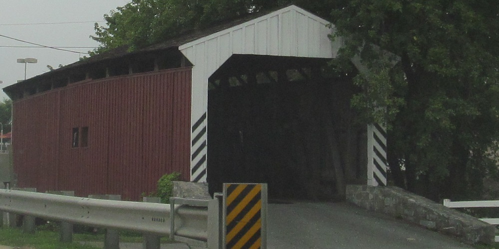
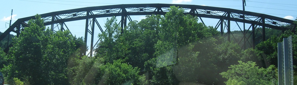
WB in East Lampeter Twp., home of the Willow Hill Bridge. It took me a long time to figure out what I don't like about the PA 896 assemblies - it's that the arrow signs are way too skinny.
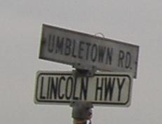
Westbound in Pennsylvania Dutch Country, older street sign and typical (for the area) WGAL town sign.
Eastbound signs that have (been) seen better (during) days.
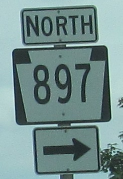
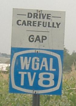
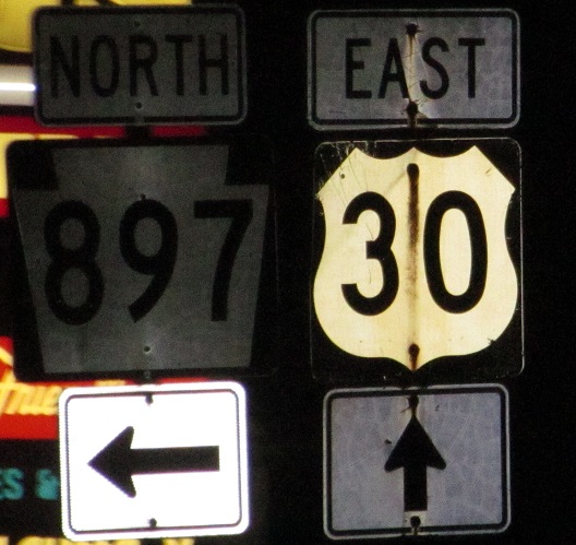
WB into Gap, with the last two photos left and right on the same assembly. The PA 897 has seen better days, namely when it was a different sign.
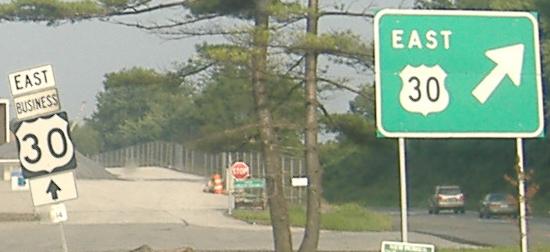
US 30 exits itself on the eastern edge of Pennsylvania Dutch Country, becoming a freeway, with cool button copy signage and an unusual shield-inside gore sign. The old route, continuing straight ahead, is the Lincoln Highway, and is linked below as Business US 30. US 30 was intended to be a freeway from here westward, connecting to the Lancaster bypass, but it never made it through the Amish farmlands, leading to tremendous backups on the two-plus-turn-lane roadway. Most of the time, there are about 10-15 miles of 20 MPH traffic - on a good day.
US 30 WB while it's still a freeway, west of US 202.
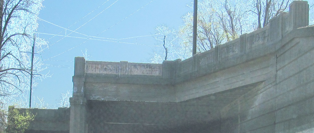
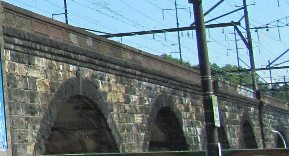
On the south side of the Exton Bypass, a railroad passes over Whitford Rd., but that's not what you see here. This is a former railroad spur bridge that crossed over what's now the SEPTA line at a shallow angle.

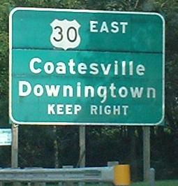
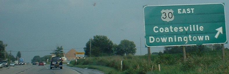
US 30 EB merges into US 202 NB for most traffic leaving PA Dutch Country. Local traffic needs to exit the freeway to stay on US 30, coming to the east end of Business US 30 and also the ramp to US 202 SB. This is the way to make that connection at this interchange, but you should have used PA 100 to the west.

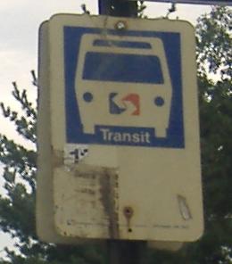
Old plastic SEPTA bus-stop sign, EB at Conestoga Road, PA 401.

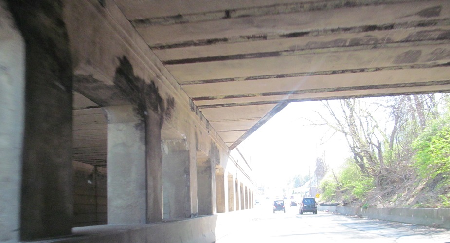
More railroad bridges at shallow angles, across US 30 EB from PA 29.
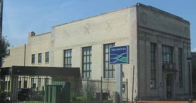
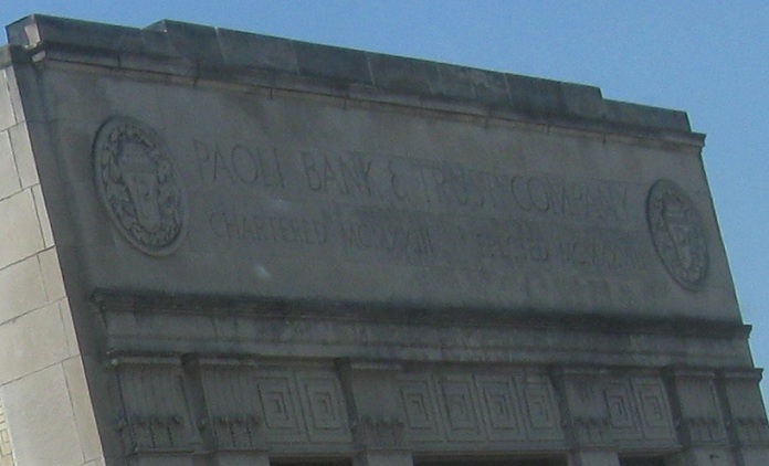
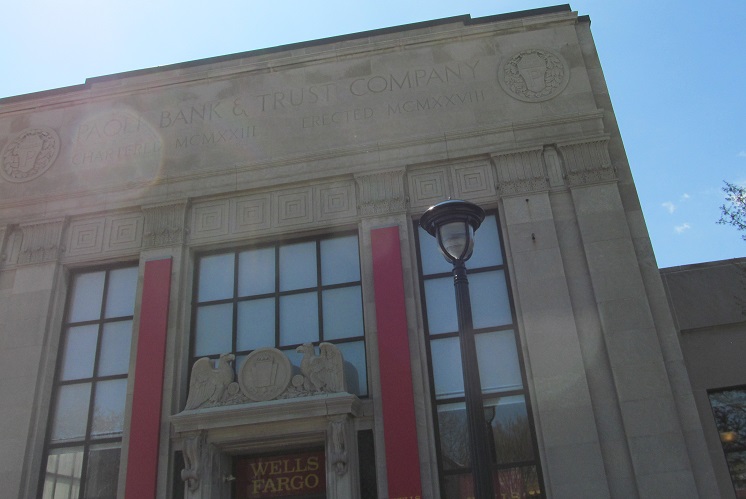
West side of Paoli, WB at and past Darby Rd.
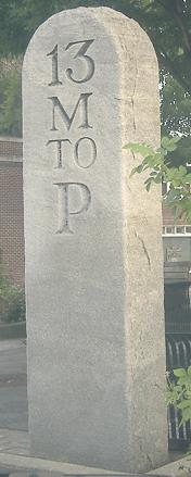
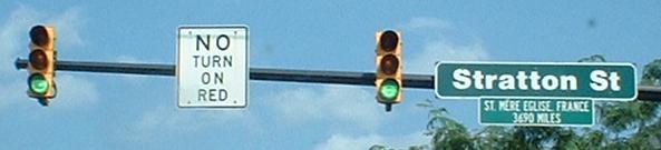
At Wayne Ave. in the center of Wayne. Forget original Lincoln Highway, this milestone dates to well before the day of horseless carriages. It also provides fodder for levity after a long vacation. 13 minutes to pizza! 13 Migrants to Protest. You get the drift.
 Blurry, but state-name, EB.
Philly-spec shield, as US 30 turns from Lancaster Ave. onto Girard Ave. Once upon a time, 30 went straight to Market St. (now PA 3), then headed east through Philadelphia to get to the Benjamin Franklin Bridge. Now, Girard takes 30 to I-676, which speeds traffic much more efficiently to the bridge.
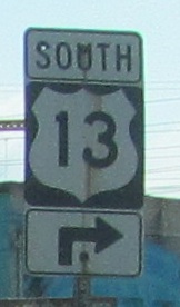
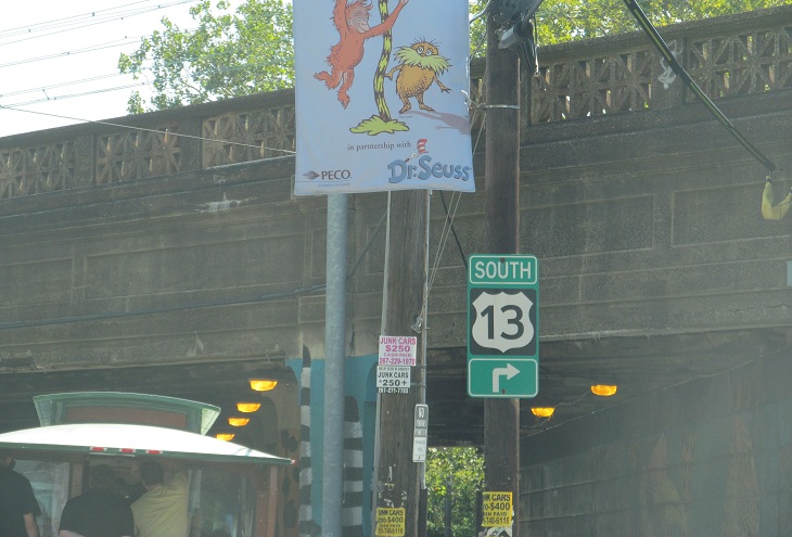
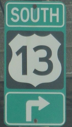
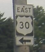
More Philly-spec shields, but technically not on US 30. From Girard Ave., US 30 jumps onto I-76 for an exit to get to I-676. The EB side has a direct ramp, so by the time I get here to Lansdowne Drive and US 13 (34th St. to the right, and straight on Girard), I'm not on any route at all. US 30 WB exits onto 13 NB, so at least the other side of the road is carrying that. This railroad line crosses Girard/US 30 WB just west of Lansdowne/34th and continues northeast.
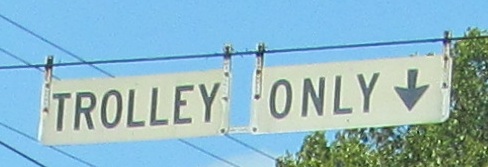
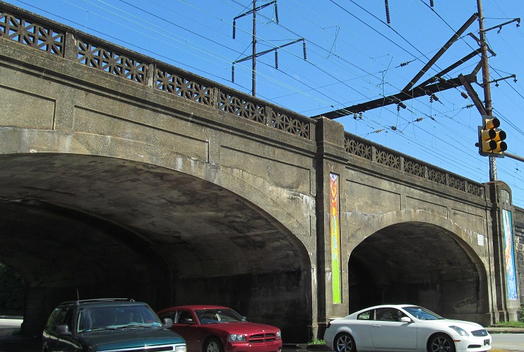
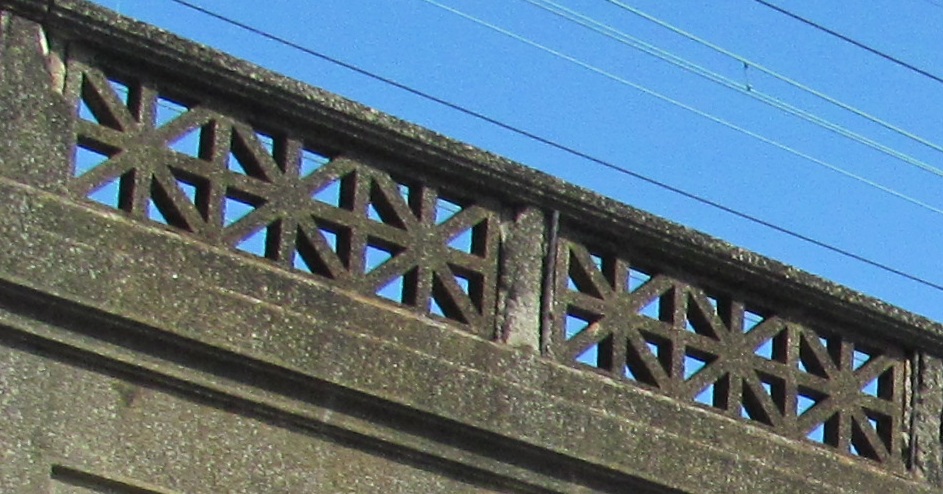
Girard Ave. has its own railroad line, of a sort. Most of the signs have been replaced with something resembling an HOV lane (see Girard Ave. page linked below), but not this WB one after Lansdowne Dr./34th St.
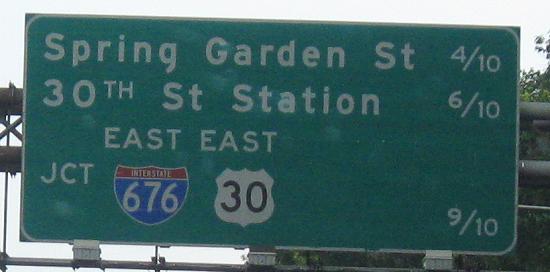
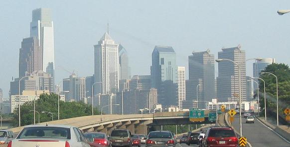
US 30 EB jumps onto I-76 EB, the Schuylkill Expressway, to get to I-676 in downtown Philly.
Continue west on US 30
Onto I-676 and US 30/I-676
Onto Girard Ave. alone
Onto Business US 30
Back to US 30 main page
Into New Jersey on US 30
Onto PA 23
Onto PA 896
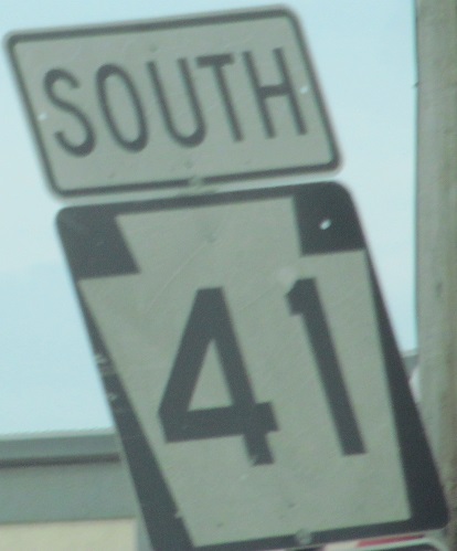
Onto PA 41
Onto PA 897
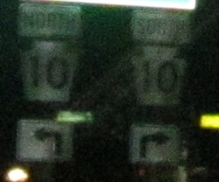
Onto PA 10
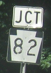
Onto PA 82
Onto US 202
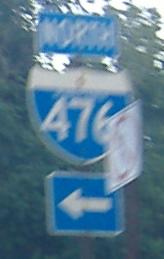
Onto I-476
Onto US 13
Onto I-76, Schuylkill Expwy.
Into Philadelphia
US 30 (in Chester County) on Steve Anderson's phillyroads.com
Back to Pennsylvania Roads
Back to Roads