Ontario Roads - Niagara-Hamilton RR 20


First photo above courtesy Doug Kerr. All are WB on former Highway 20.


Shades of Highway 58 past. 58 hasn't gone this way since 1997. It's possible that much earlier, it continued straight on Centre St. (seen here, cut off) and then turned to cross the Welland Canal at Canboro Rd. By the way, I hate the new trapezoid; it's so bland compared to the rounded blue shield of old.


Speaking of the Welland Canal, here's where RR 20 crosses it. The bridge most certainly does not open in the same manner as the sign suggests.


Across the bridge and looking north at the canal. Mounted on the bridge is a Highway H2O shield, something I won't dignify with explanation.


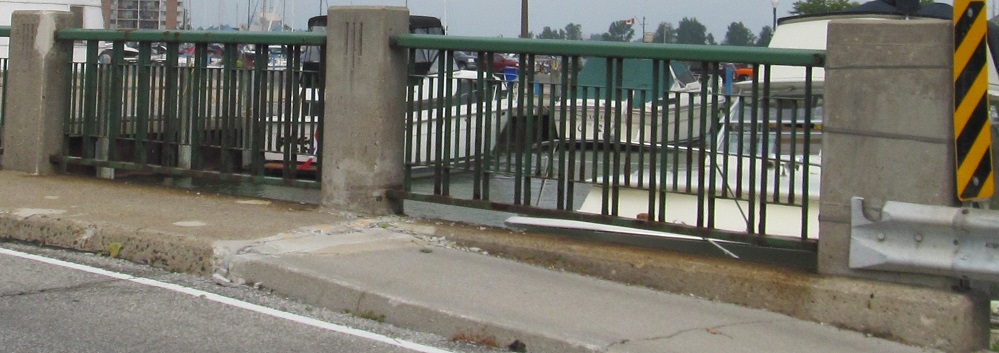
Now up to the old canal and looking north along it. Obviously there was a drawbridge here when this was the canal, if there was any bridge at all. Former Highway 58 left former Highway 20 to the west at Highway 406.


Heading well to the west, where Highway 57 once began (via RR 27), and on into the city of Hamilton to Mud St. (Road 411). This is the clearest look you get at the two city-maintained freeways' shields anywhere on my site, and the most unfortunate crown shield anywhere at all.
To Highway 58
Onto RR 27
To Lincoln M. Alexander Pkwy.
To Red Hill Valley Pkwy.
To Highway 403
To the QEW
See more of the Niagara Region
Back to Ontario Roads
Back to Roads