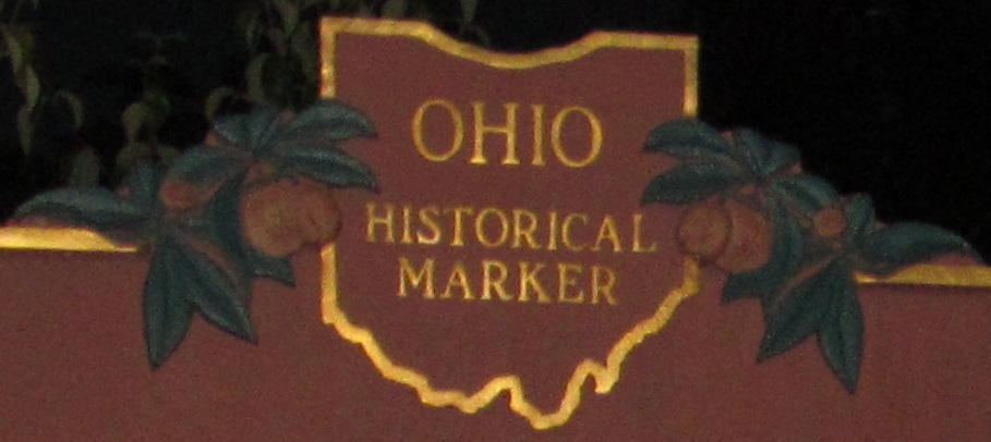
Ohio Roads - Old US 40
Old US 40
WB on Main Rd., courtesy John Krakoff. Repainted but original.
Guys, I think this is the Old National Road. I think. EB and WB.
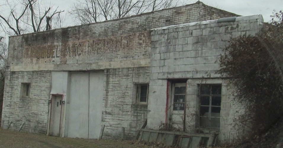
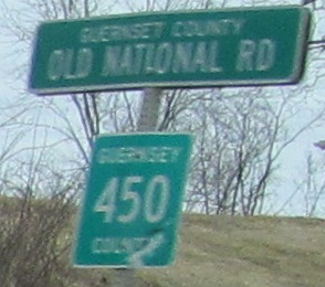
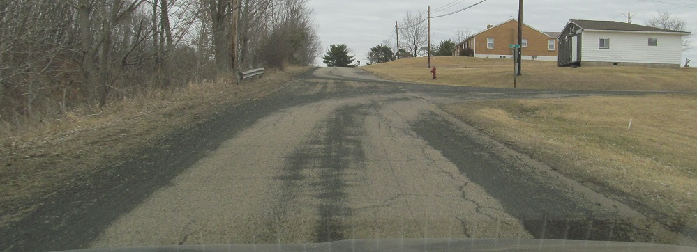
A pair of offshoot county routes bracket an old store as I head east on CR 450.

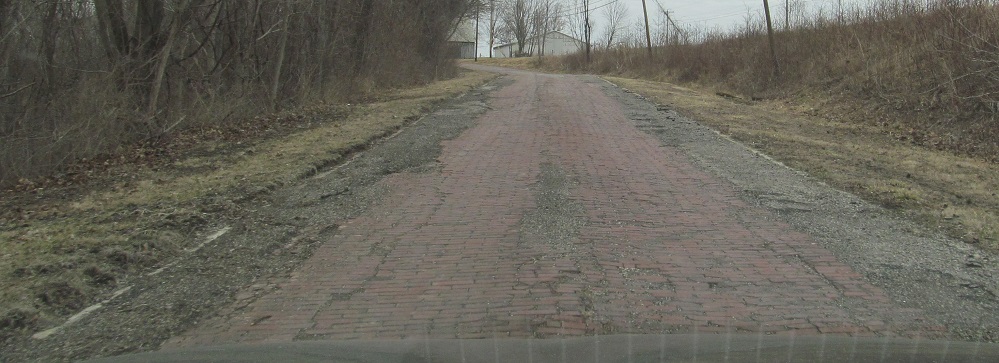
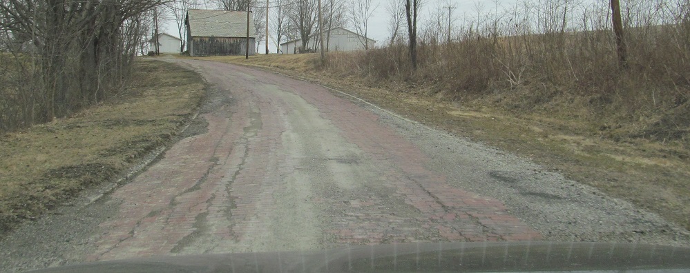
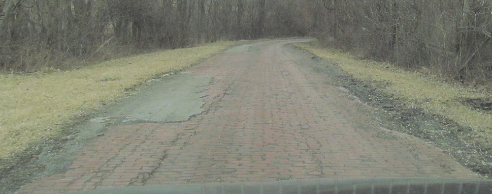
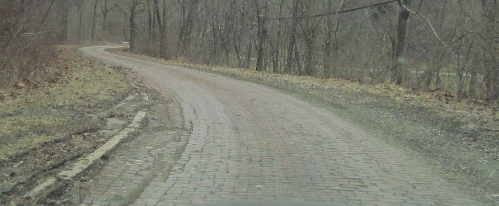
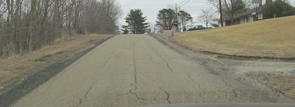
The previous stop on the tour (I guess oriented east-west) is the beautiful original brick pavement of Peacock Rd.
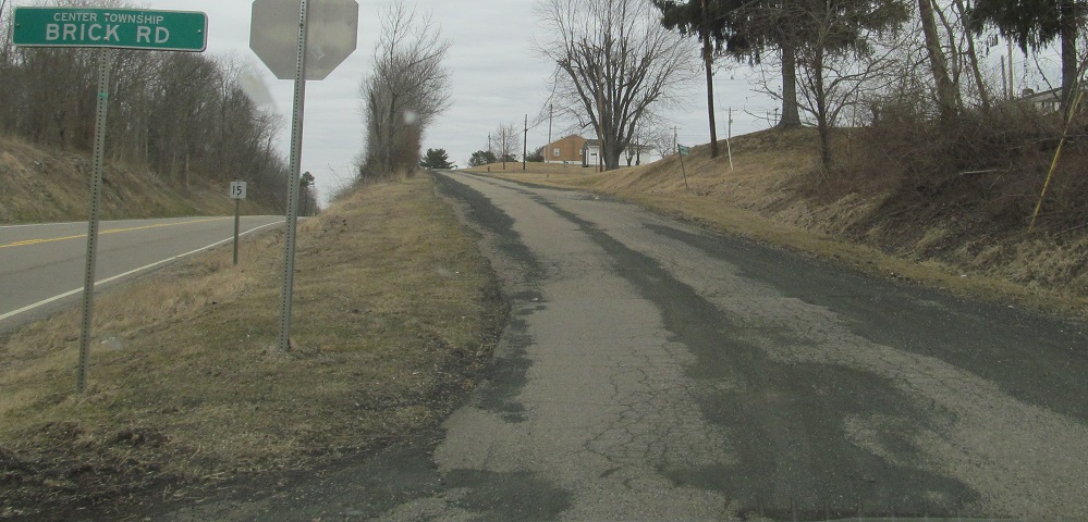
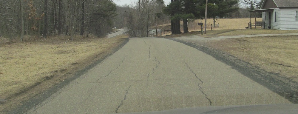
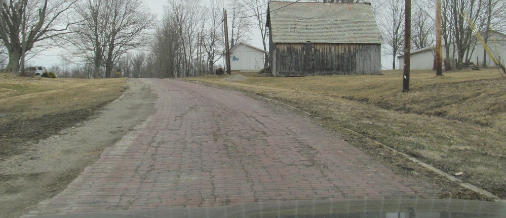
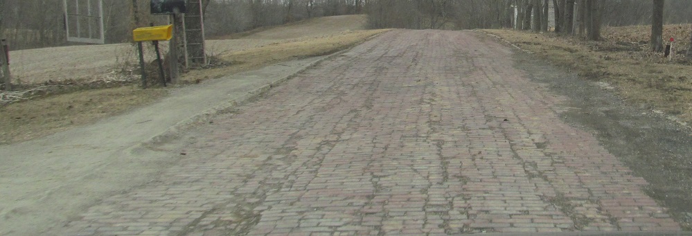
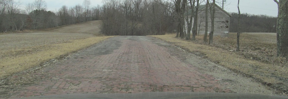
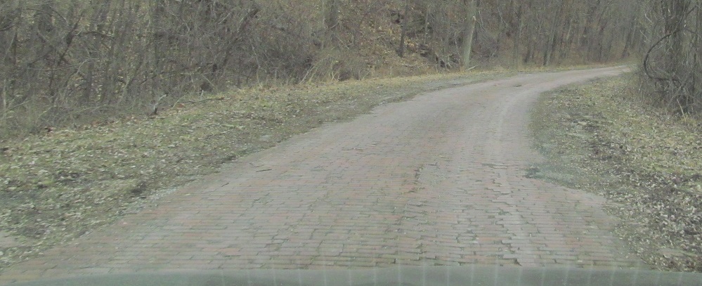
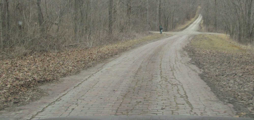
Continuing east onto Brick Rd. Handy guide: Brick Road is not brick. Not-Brick Road is brick.
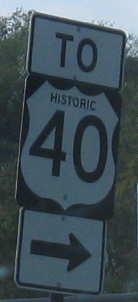
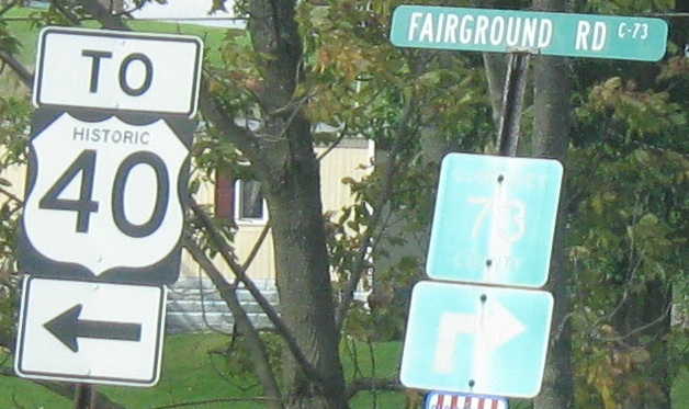
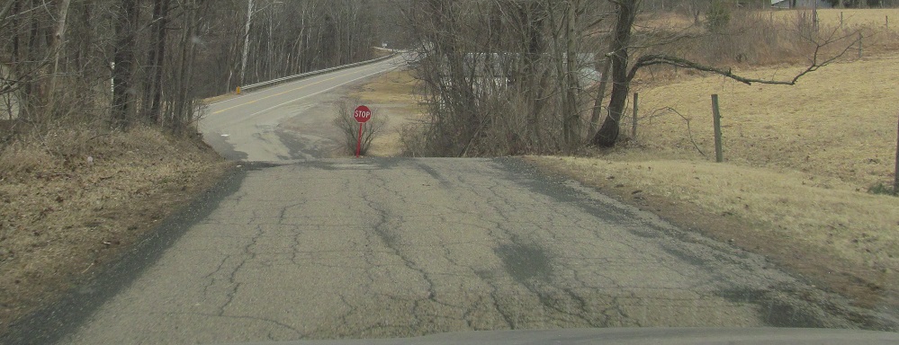
WB entering Old Washington, the only place in Ohio where US 40 hops onto I-70, leaving the old National Road behind. This is the only place the old road is signed as Historic 40, though, so some more coordination is in order.
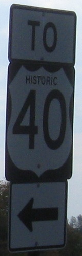
EB at the same spot, where the old road crosses I-70, so you know it's not just a mistake for signing regular 40.
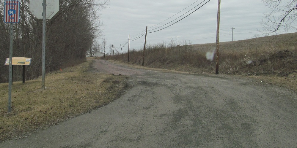
 Frankfort Rd. heading south from old US 40/Easton Rd.
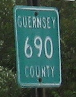
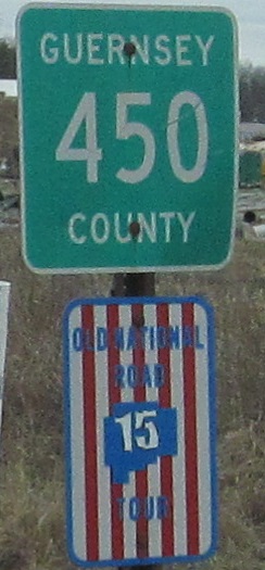
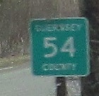
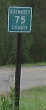
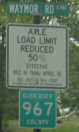
These county shields are even embossed! Each county in Ohio picks its own signage, so some use pentagons, others use black on white squares, and here you have a third alternative.
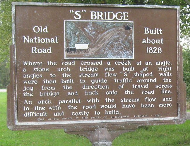
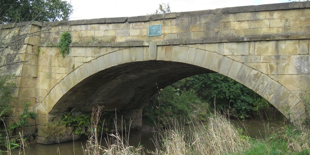
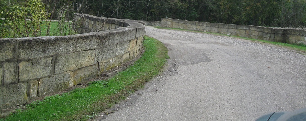
The main National Road is a smooth curve heading toward Carlisle Cemetery. However, there's an old bridge visible to the left heading EB, and that's the original crossing of Salt Fork before the road was improved later. In the early 19th century, apparently the concept of redirecting a stream in the vicinity of a bridge was unheard of, because that may have been the easiest solution of all. Fortunately, the "S" Bridge remains as a testament to early engineering struggles and solutions.
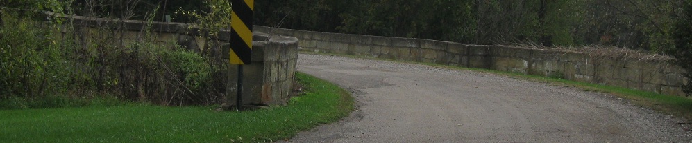
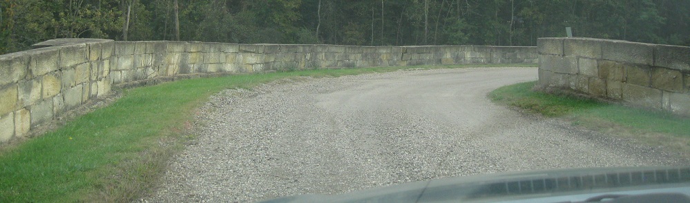
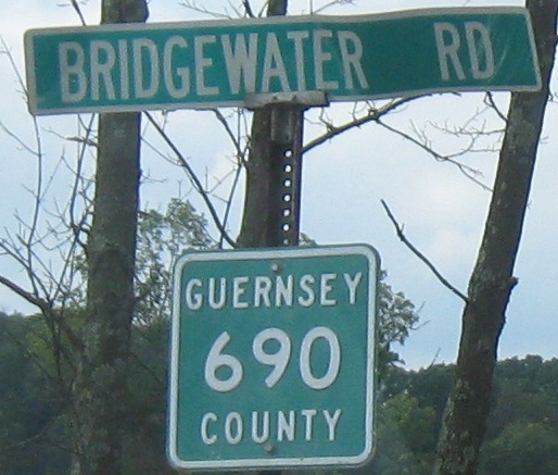
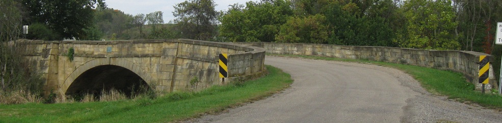
WB on Bridgewater Rd., the main trail, forking off onto Blend Rd. to come to the S bridge.
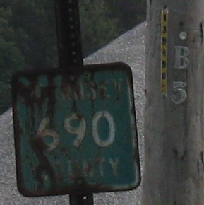
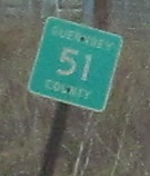
Another, rustier county shield. A good portion of old US 40 is CR 690, but not all of it is even in Guernsey County, and it does use a handful of other routes (670 on Easton Rd., and you'll see two more represented down this page).
I-70 directly overlays a portion of the old road, so that's a good reason why the next segment, here seen WB leaving Fairview, has a new number, also reflected in the street sign above. Unfortunately, nothing is embossed.
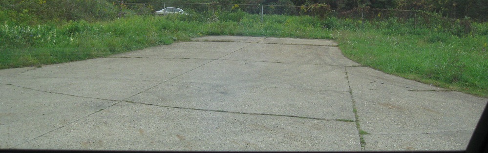
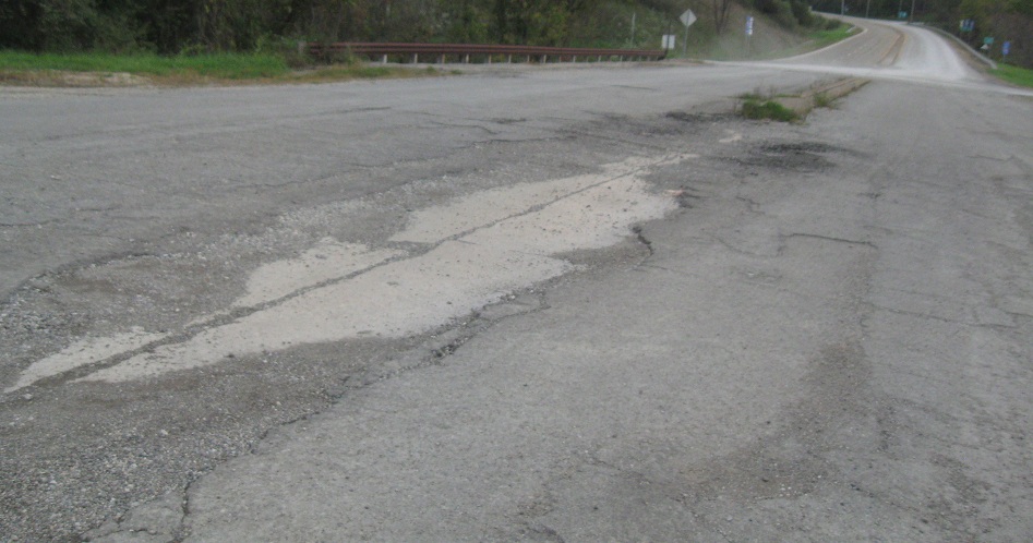
No, it's not a sidewalk. What makes it more than just a random dead-end stub, besides being made of concrete, is the fact that the silver car in the background is shooting by on I-70 WB just beyond the fence. So what is this, an abandoned onramp from the west side of Fairview? Actually, it was a regular street connector that came into the divided highway at grade - back when it was just US 40. I'm basically looking from the old 40 at the new 40, and then I-70 came and swallowed up the new 40, forcing the closure of this roadlet but fortunately not its full removal.
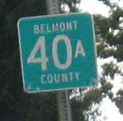 One more county designation, which applies west of OH 800, showing that yet another county uses the green squares.
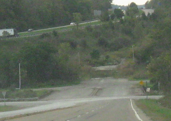
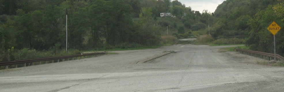
US 40 WB joins I-70 WB at Exit 204. Continuing straight, the roadway peters out into the embankment built to give I-70 a shallower grade through the pass. The pavement is gone, but the alignment lives on.
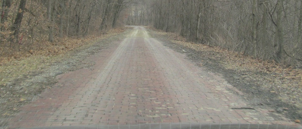
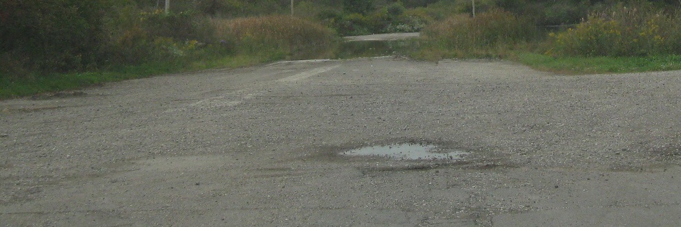
Back east to rejoin US 40, and a hint of what the whole road once looked like.
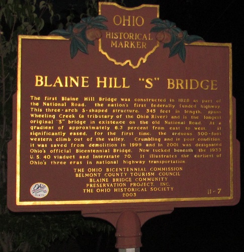
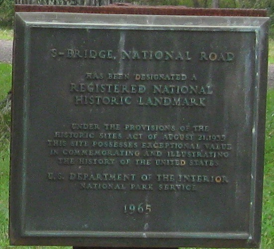
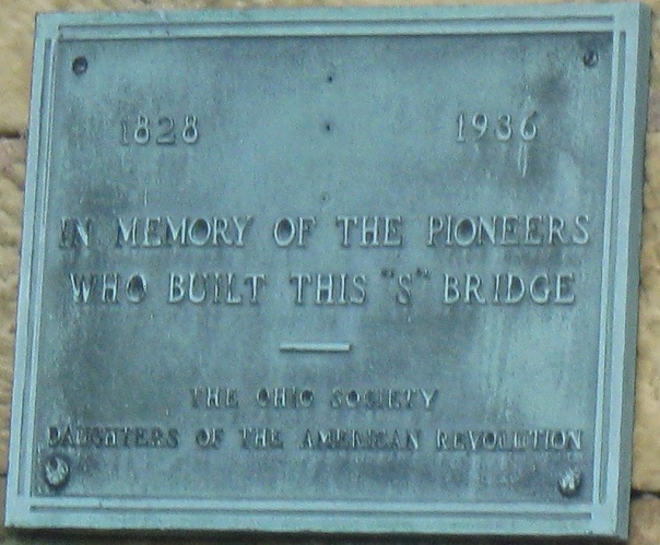
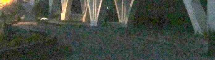
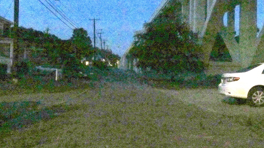
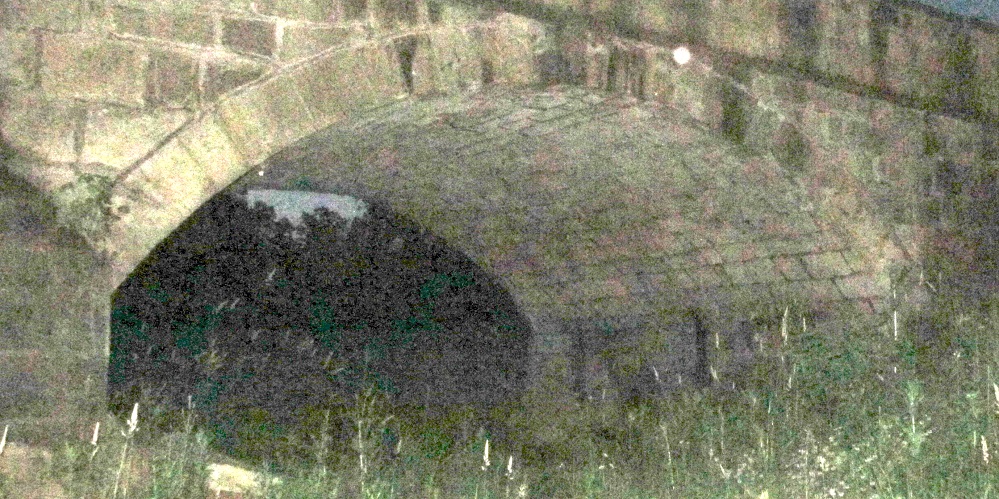
The "S" Bridge is in the shadow of US 40's Wheeling Creek Bridge in Blaine. As you can see, it dates to 1828 and was barely saved for Ohio's bicentennial, it being nearly as old as Ohio.
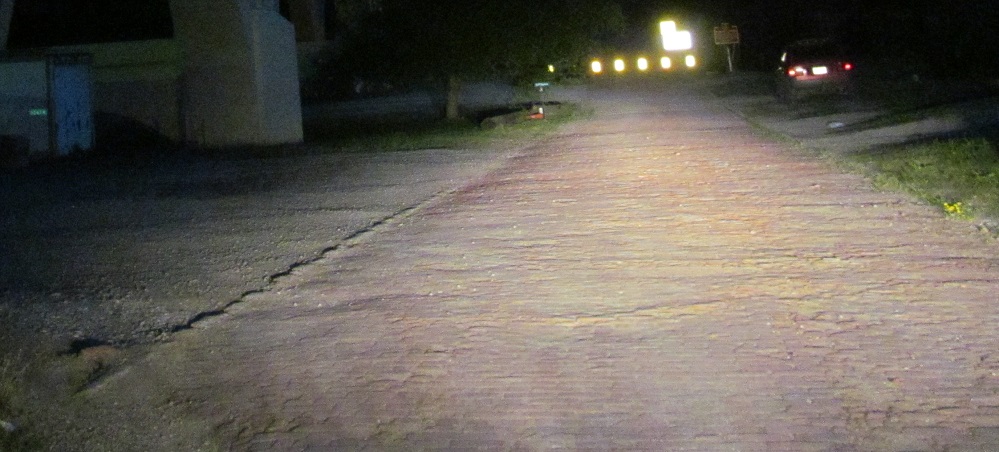
Walking west by headlight and moonlight. Old US 40 (Pasco Dr.) is paved in bricks, and the arches to the left are the base of modern US 40.
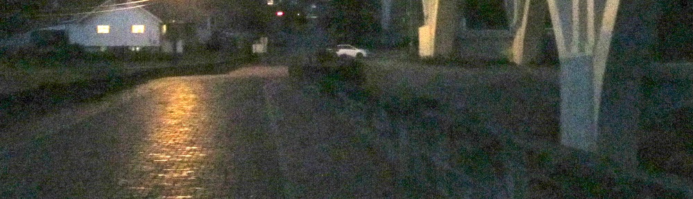
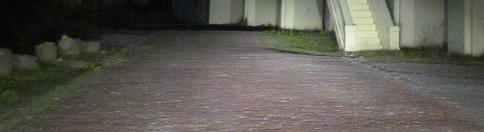
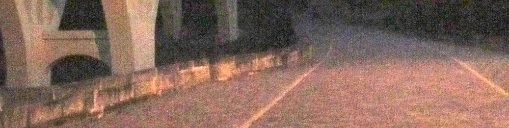
Walking back east across the bridge, which is itself also paved in bricks.
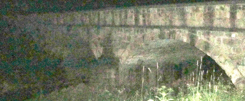
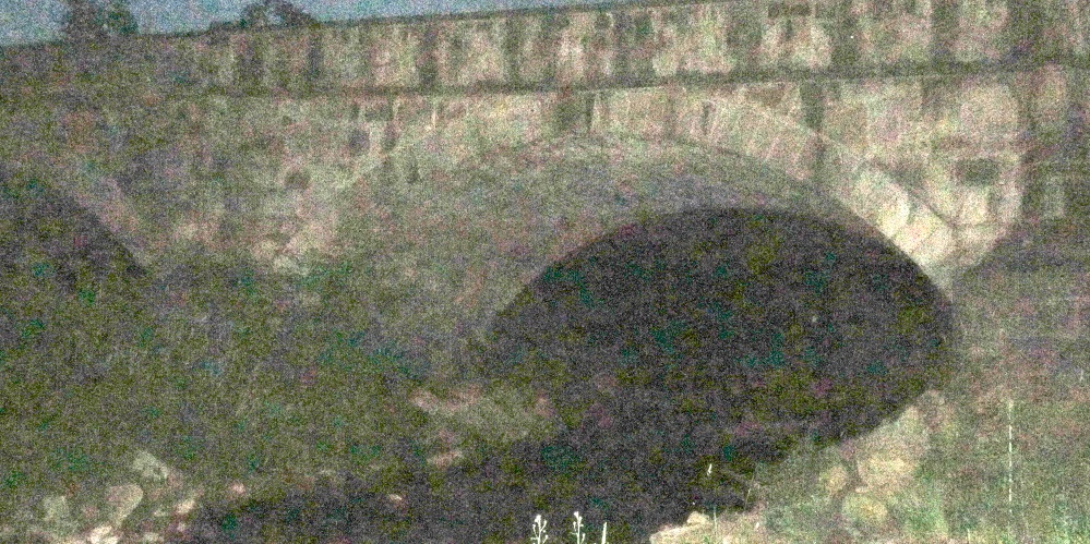
Northward views of the bridge from the banks of Wheeling Creek.
To modern US 40
Onto I-70
Fairview Non-Roads
Back to Ohio Roads
Back to Roads