New York Roads - Rochester
Rochester
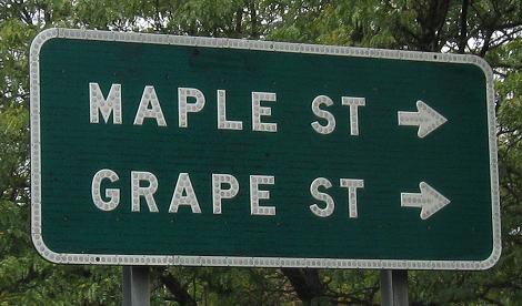
There are many of these signs around town, though not all of them are old. This one is Main St. EB at Plymouth Ave.
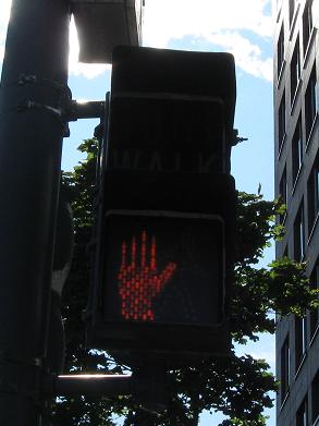
What's the point of replacing the two signals with a single housing if you're going to keep the old one there? Now you have a Don't Walk signal combined with the fact that the "Don't Walk" is specifically not illuminated. Your choice on Clinton Ave.
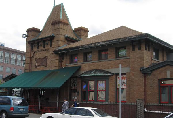
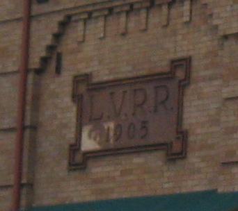
Looking east on the Court St. Bridge at the 1905 Lehigh Valley Railroad train station that provided service along an old spur line and is now home to a restaurant.
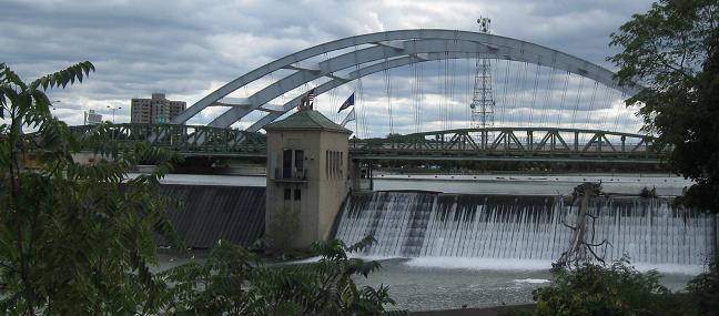
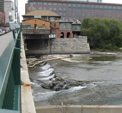
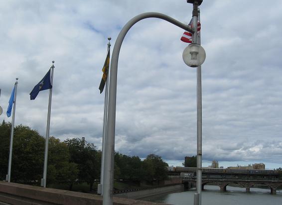
Looking south from the Court St. Bridge at the Court St. Dam, with the new I-490 bridge over the Genesee River in the background.
The newest location for a Rochester bridge, this is a three-legged pedestrian bridge.
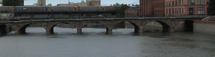
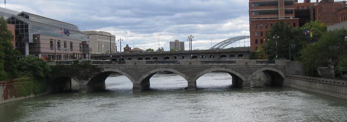
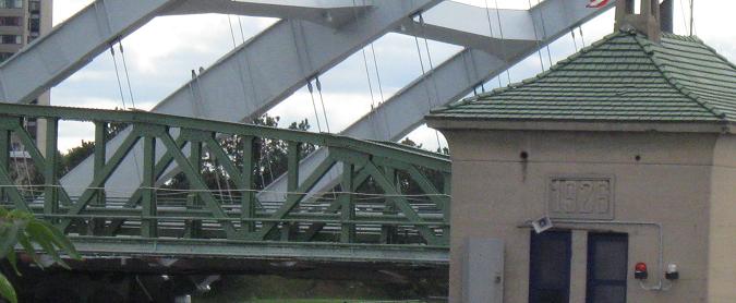
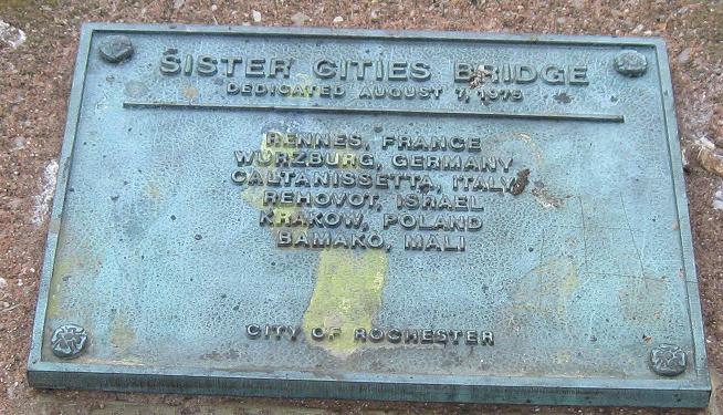
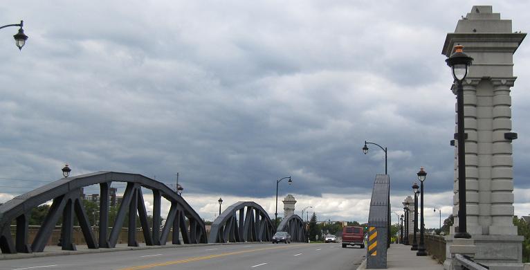
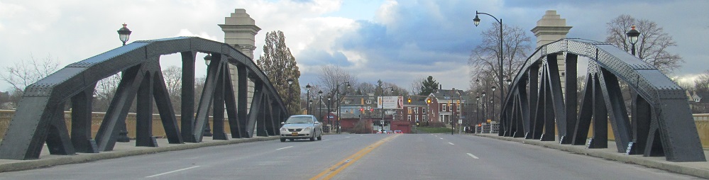
Looking north and south from the Sister Cities Bridge at the Andrews St. and Main St. (NY 33) bridges of similar design and age. Behind each of them is a piece of the Inner Loop - the Loop itself is just behind Andrews St., and the Loop crosses the Genesee River with I-490 behind Main St.
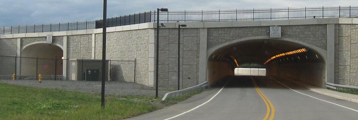
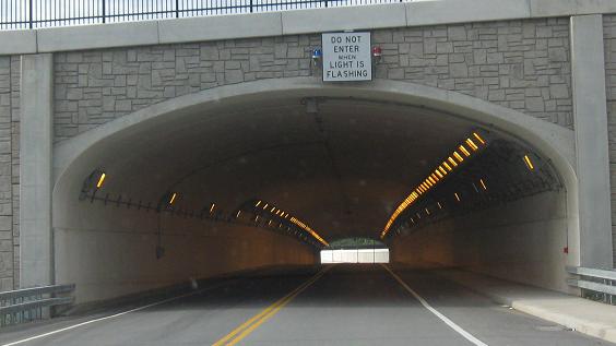
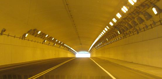
Driving west from NY 383 around and through the north side of Greater Rochester International Airport. The tunnel was part of a recent runway extension out as close to I-390 as the FAA would let it get.
There's only one thing I can tell you that the marker doesn't: These are westbound toward NY 383.
Back east across the Genesee River.
Brown St. WB and EB at Wilder St. and then Wilder St. WB from there. This is all a block west of the I-490 EB Exit 12 offramp, which is probably why it exists.
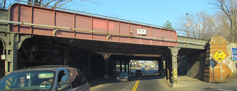
Brown St. NB before it gets to those awesome signs.
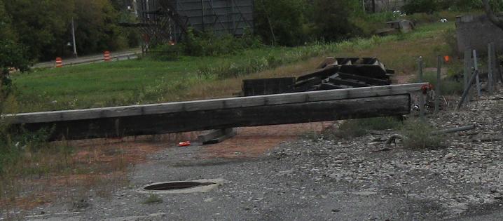
Canal St. NB and SB just south of Allen St., which now exists in three pieces thanks to the Inner Loop, then looking right (west) and left (east) along the tracks. The bricks to the east stretch on for a long block as an abandoned street.
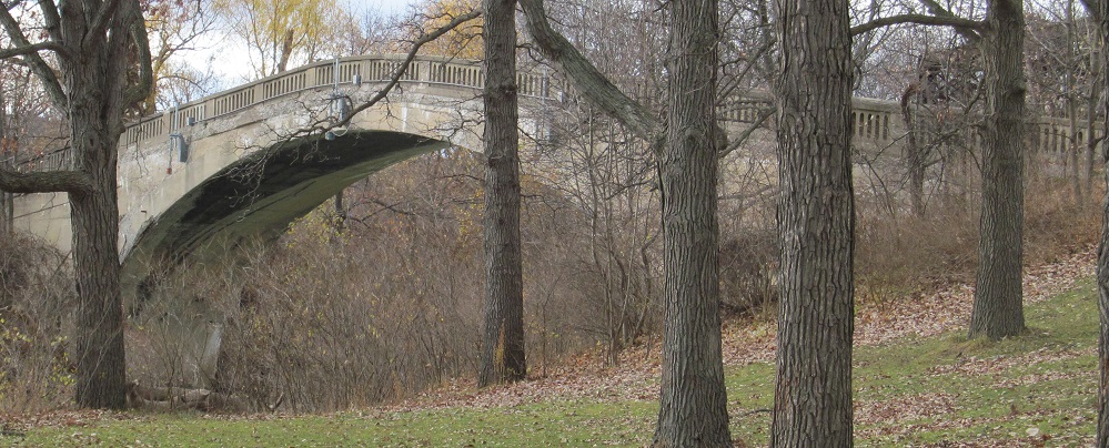
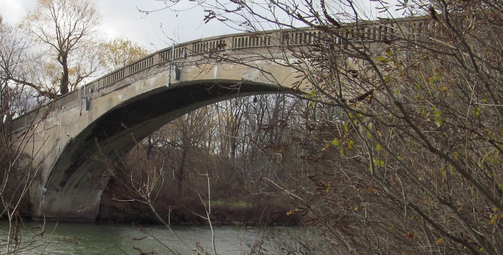

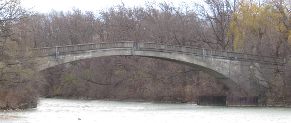
I heard you like bridges. Visit the Genesee River Trail and you're in for a treat when you get to the Erie Canal. This footbridge appears to date to the 1930s, or maybe late 1920s.
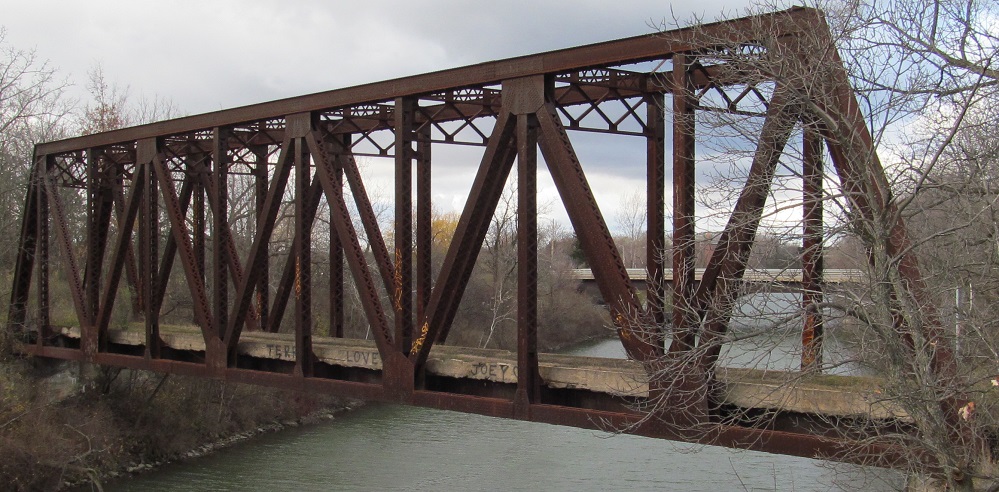
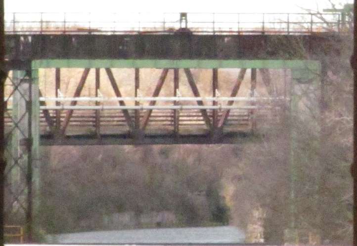
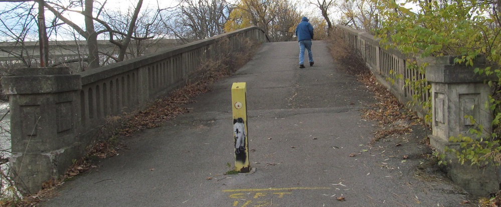
But wait, there's more! Look west along the canal, and you'll see the Genesee Valley Canal Railroad bridge along with a canal lock (the green rectangle) and the Rochester Terminal Branch Railroad bridge behind that. To keep count, we're up to three bridges and a lock.
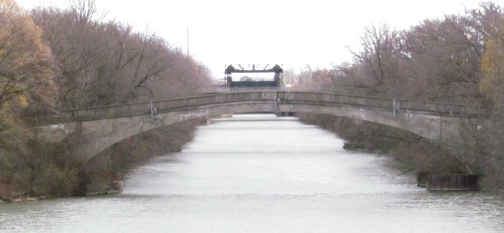
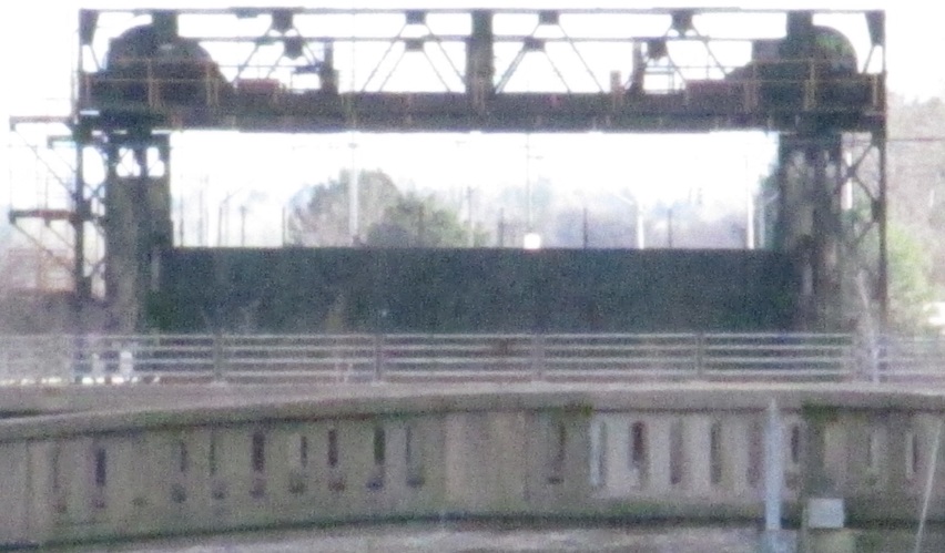
Look east and that count will grow. There's not just another bridge of similar age across the Erie Canal on the other side of the Genesee River, there are two identical ones, for a total of three identical arch footbridges! Add to that a roadway bridge (the straight fencing in the last photo), another two railroad bridges, and one last canal lock behind them, and you're up to 8 bridges and 2 locks for the price of admission, which is $0. Go visit the trail.
Smith St. Bridge
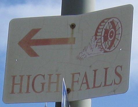
Platt St. Bridge and High Falls
Inner Loop
Lake Avenue
Mt. Read Boulevard
I-/NY 390, I-490, I-/NY 590
NY 15
NY 31, NY 33, NY 33A
NY 104
NY 383
More of Monroe County
Rochester Non-Roads
Back to New York Roads
Back to Roads