New York Roads - NY 51
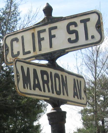
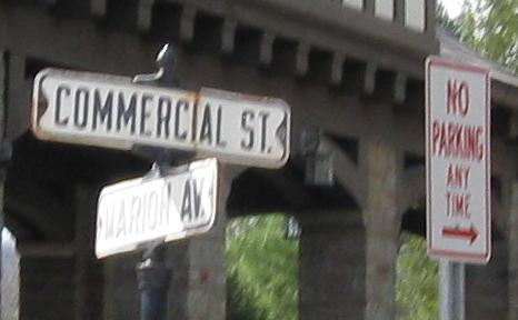
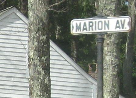
NB into Gilbertsville, ending with some street signs at Otsego CR 4. Cliff St. is SB at CR 4 NB and Commercial St. is NB at CR 4 SB. Both photos are also shared with CR 4 on a one-block multiplex.
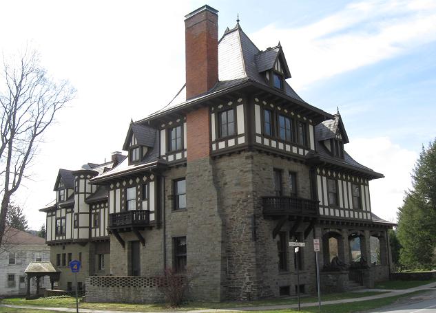
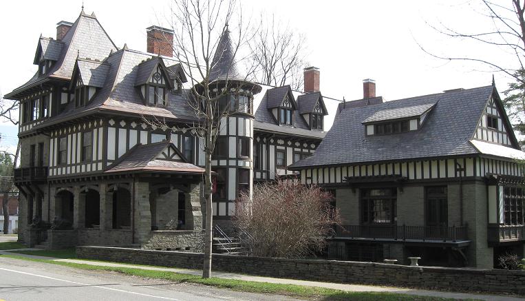
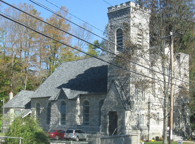
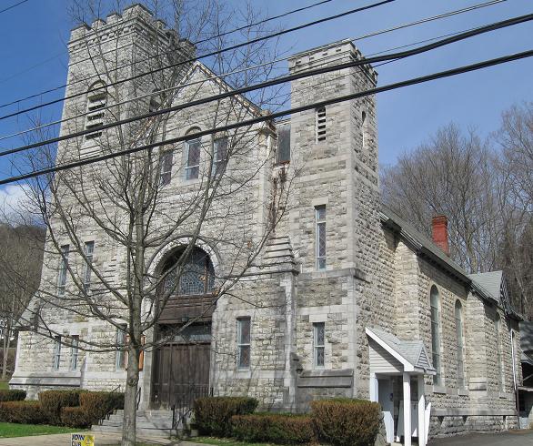
Expanding on the second street sign photo, here's a luxurious castle on the corner, looking from the north and south respectively.
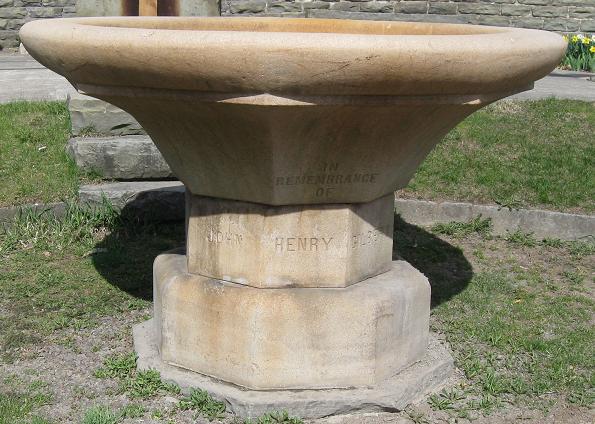
Two more adornments in the town, on the SB and NB sides of NY 51.
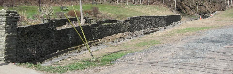
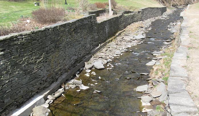
South of the church is this quaint creek channeled behind stone walls probably built when the land was settled. Of course, the arch bridge that carries NY 51 was rebuilt much more recently. This looks northwest along the creek.
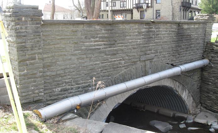
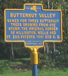
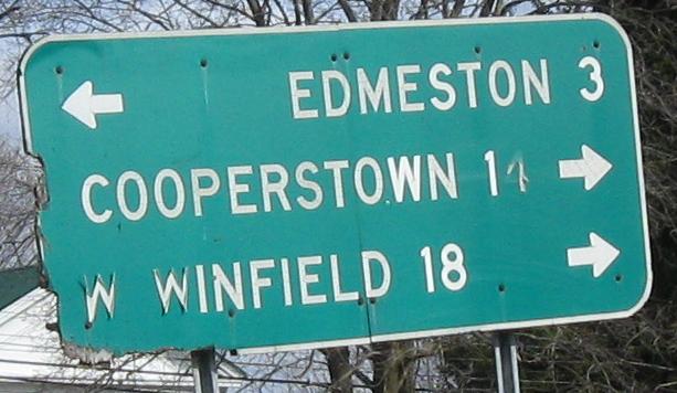
Here's the inside of the north face of the bridge, clearly unrestored. Those hands point up and down NY 51, but the destinations are off all manner of routes, including CR 8 (linked at bottom).
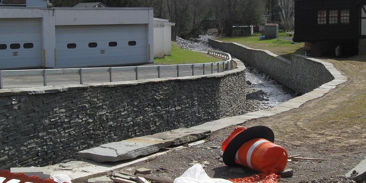
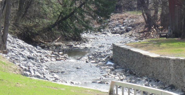
Now looking southeast from NY 51 NB. This wall is just as rebuilt as the arch bridge.
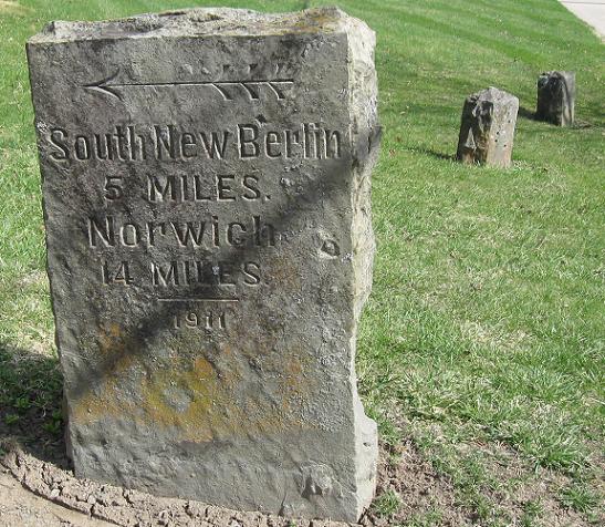
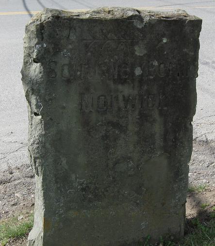
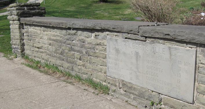
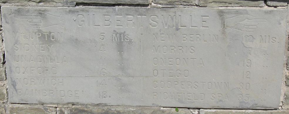
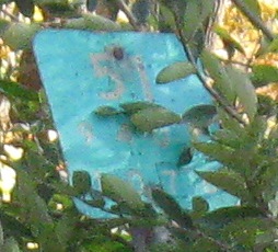
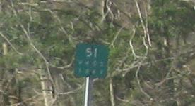
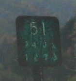
Guess where the sun is. The NB and SB faces of an old destination stone at Cliff St. (CR 4). The only difference, besies the layout, is that there are no distances on the SB side. So you're not missing anything from the lack of sunlight. Now imagine trying to read this stone at this time of day from a horse kicking up mud.
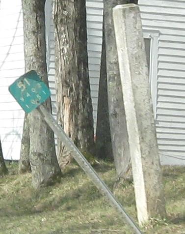
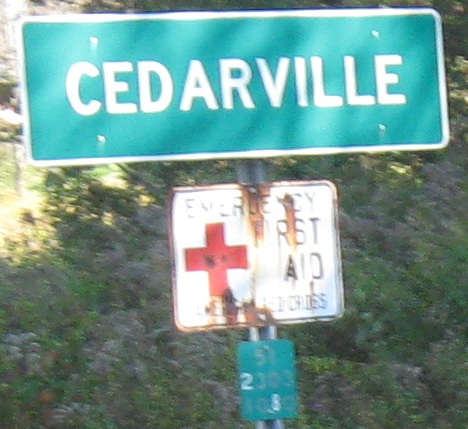
SB right at Gilbertsville, in fact all from one photo. I wonder if the concrete post marks the town line?
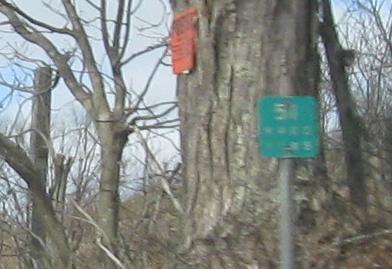
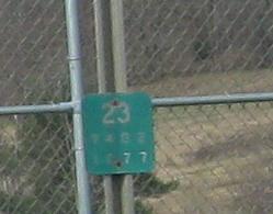
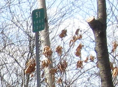
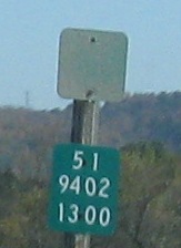
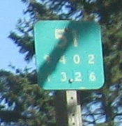
Old-style SB reference markers including the NY 23 concurrency (obviously dominated by NY 23 for its short length).
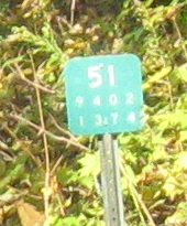
 One NB one, a bit south of NY 23.
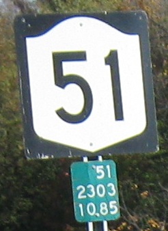
 Continuing north.

SB at and onto Otsego CR 16 in Garrattsville. The shield atop this page is on CR 16 WB past the church.
Some more old reference markers north of there (on the SB side).
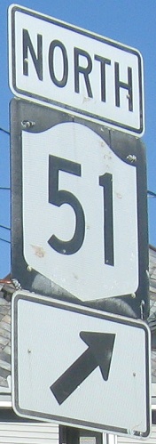
NB from NY 80 past plenty of old signs to the end of the route just after crossing the Mohawk River.
US 20 and NY 51/US 20
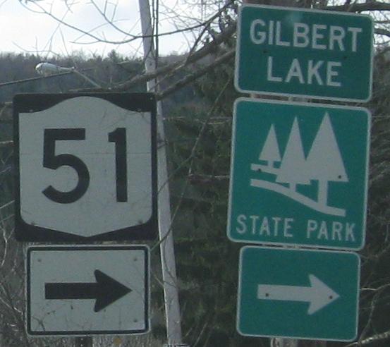
Onto Otsego CR 8
Onto NY 23
Onto NY 80
Onto US 20
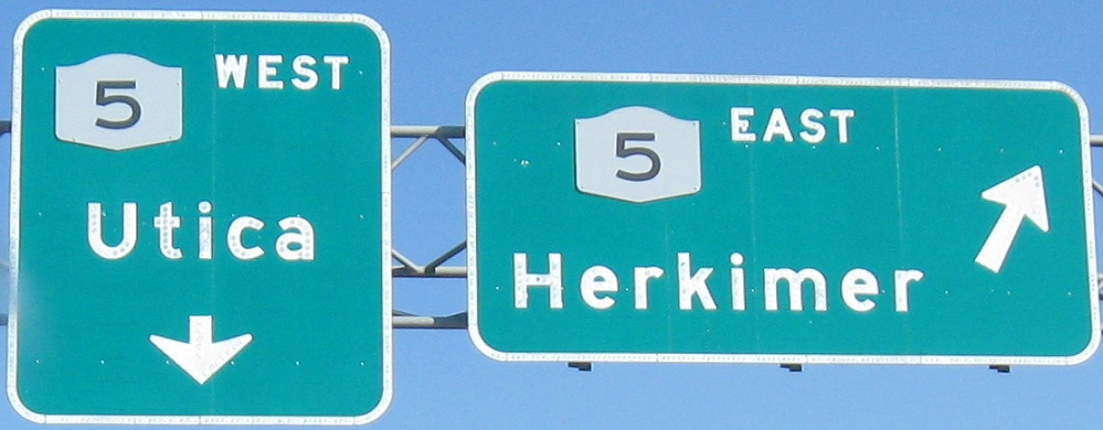
Onto NY 5
Into Otsego County
Back to New York Roads
Back to Roads