New York Roads - NY 23A
NY 23A
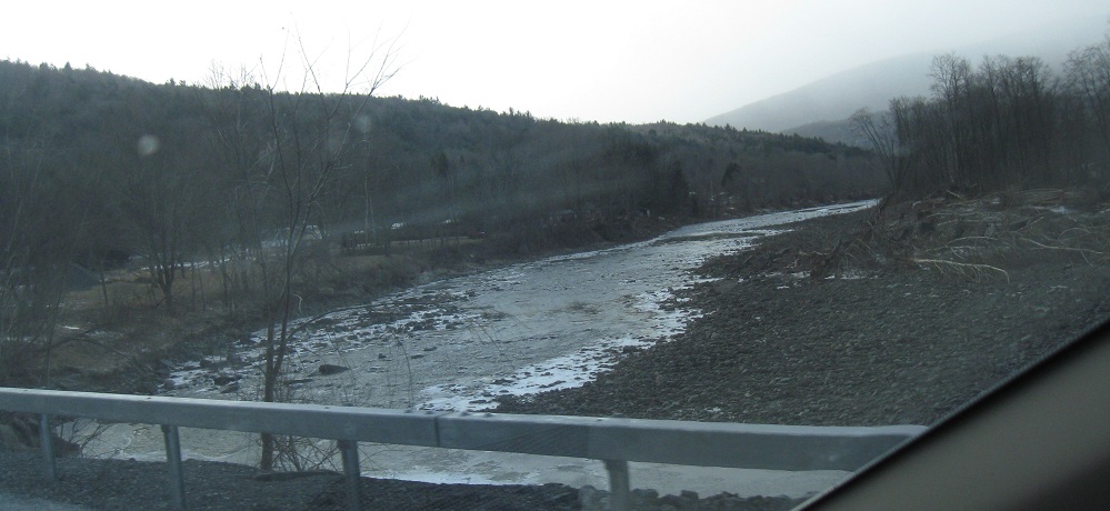

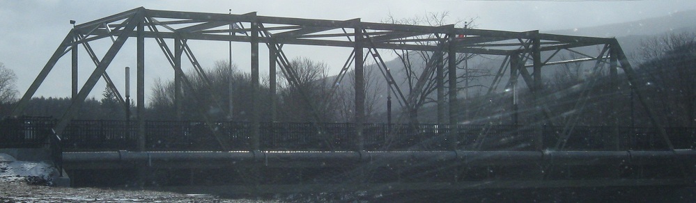
EB along Schoharie Creek to the town and mountain of Hunter, which has a newer truss bridge to welcome skiers.
WB at Arnold Rd. on the east side of Hunter, one of many short old alignments along the western half of the route.
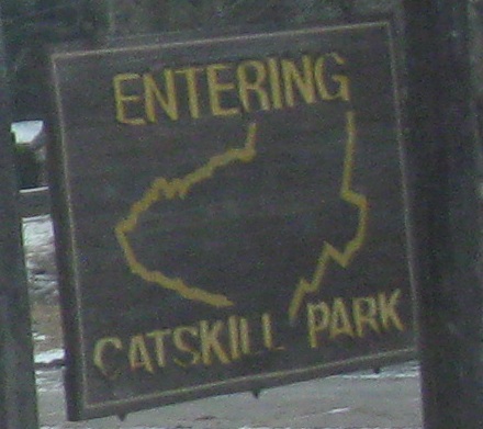
Yes, this EB photo is inside Catskill Park, and yes, NY's brown and gold park signs are meant for guide signs, but not these guide signs. Next mission: find a gold-on-brown NY 23A shield.
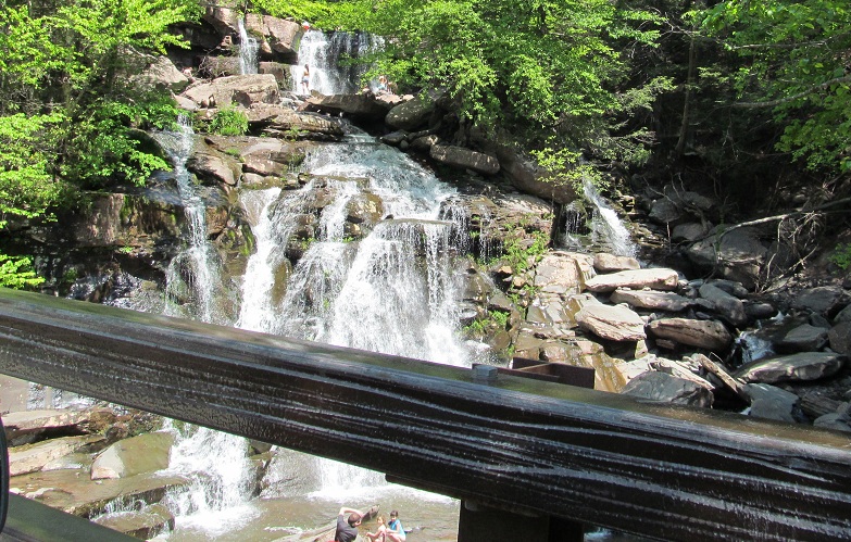
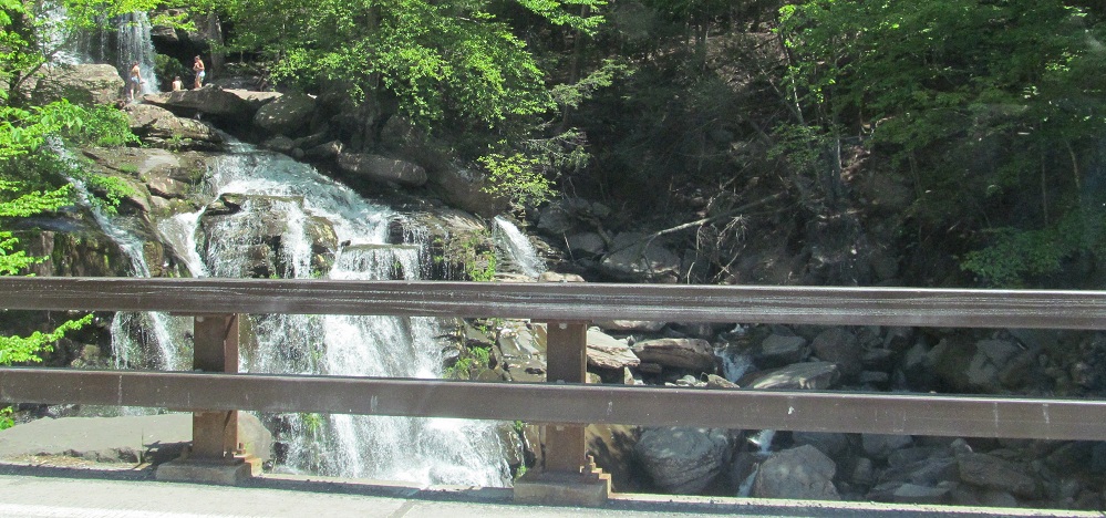
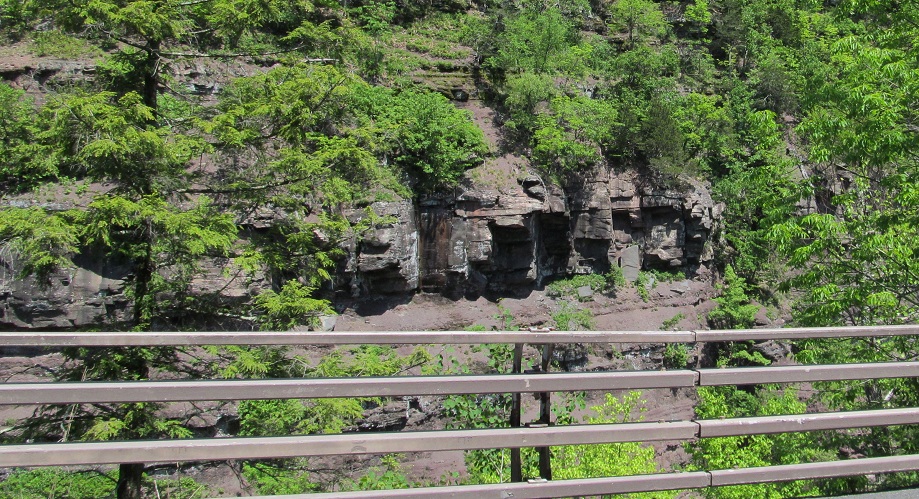
The little Spruce Creek waterfall on the north side of NY 23A is a popular recreational spot. It's right in the middle of a loose hairpin that may be known as Autumn Bend.
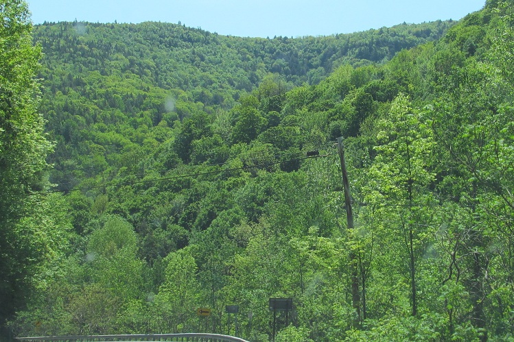
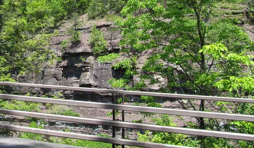
Scenery continuing east from there.
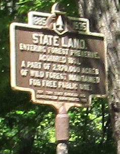
A customized version of the state historical signs is used for state parks, or at least "was used" in the 1930s and can still be seen in some places. This one is WB.
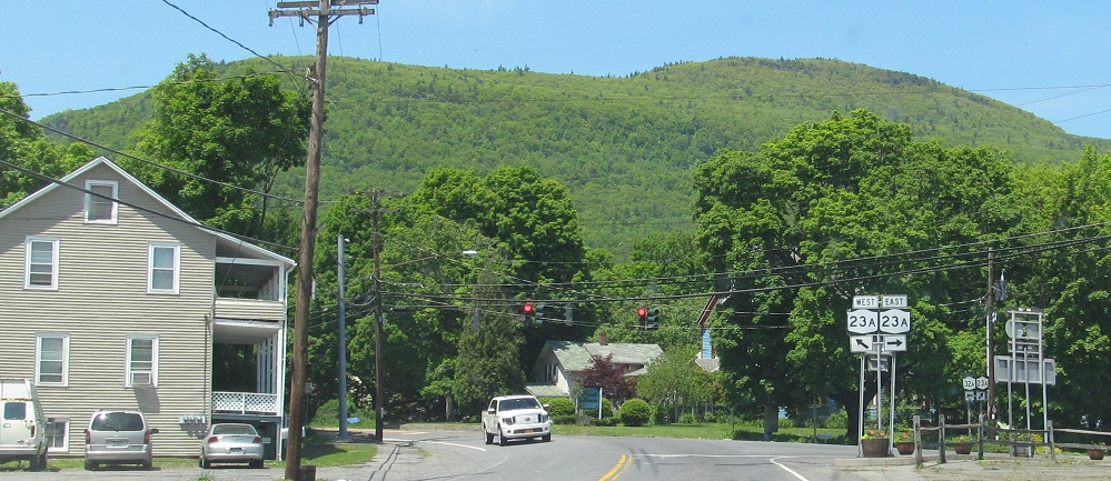
One last bit of scenery for you, seen from the western end of NY 32A.
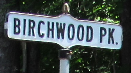
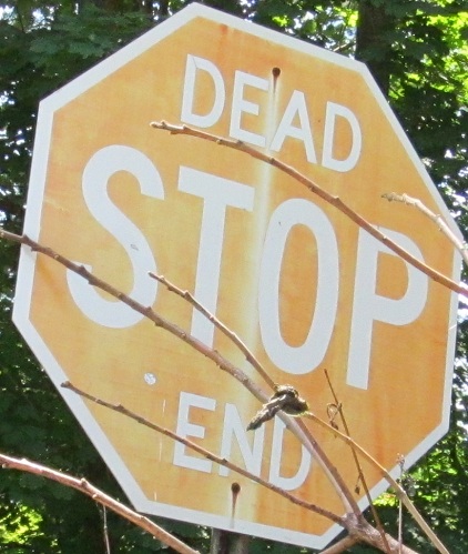
These are both just east of NY 32A in Palenville, though I'm not exactly sure where I saw the stop sign. You'll have to go look and let me know.
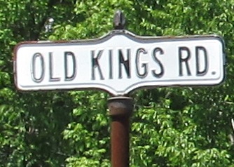
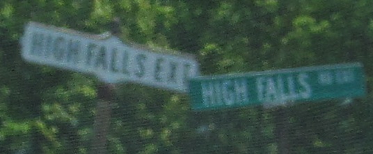 EB, different town, same street sign style.
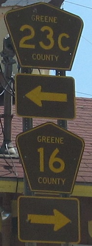
WB at Greene CR 47 to the north (east side of I-87) and to the south (west side of 87), hiding a short, unsigned multiplex between those points.
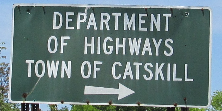
Onto Greene CR 47
Back to New York Roads
Back to Roads