New York Roads - NY 23
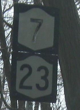
EB in Norwich, including the shield atop the page. Sure doesn't look like a state route here, so the reassurance was useful.
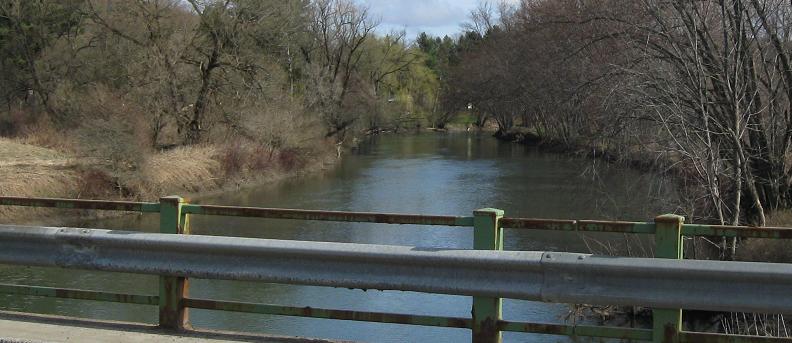
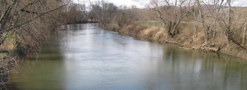
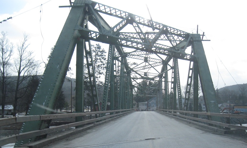
Looking south and north across the Unadilla River, on the Otsego-Chenango County line, just east of NY 8.
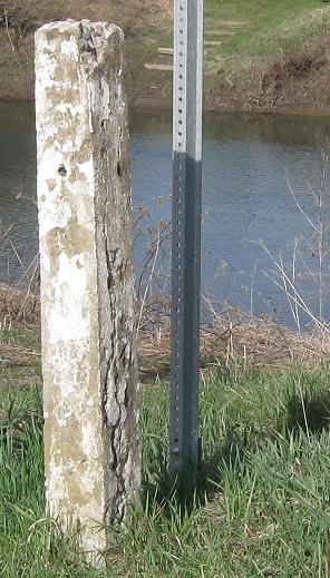
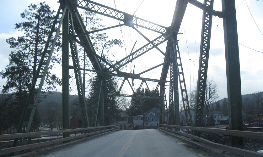
Facing west, with an old post there presumably marking the county line.
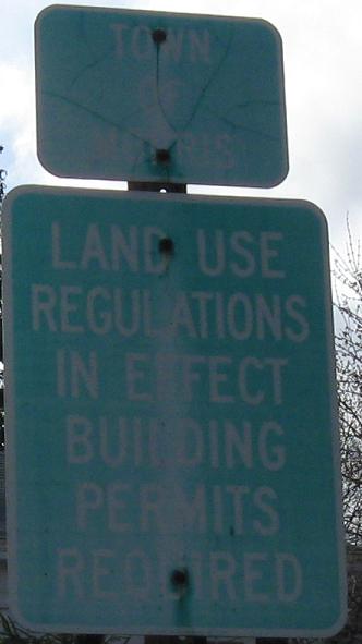
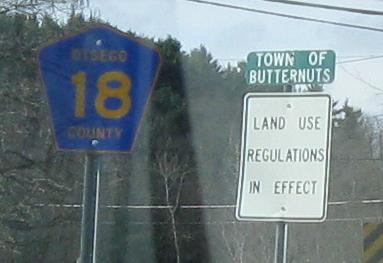
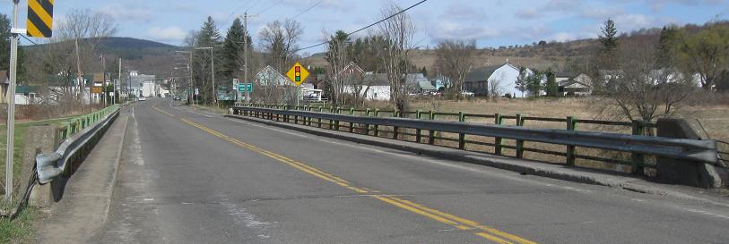
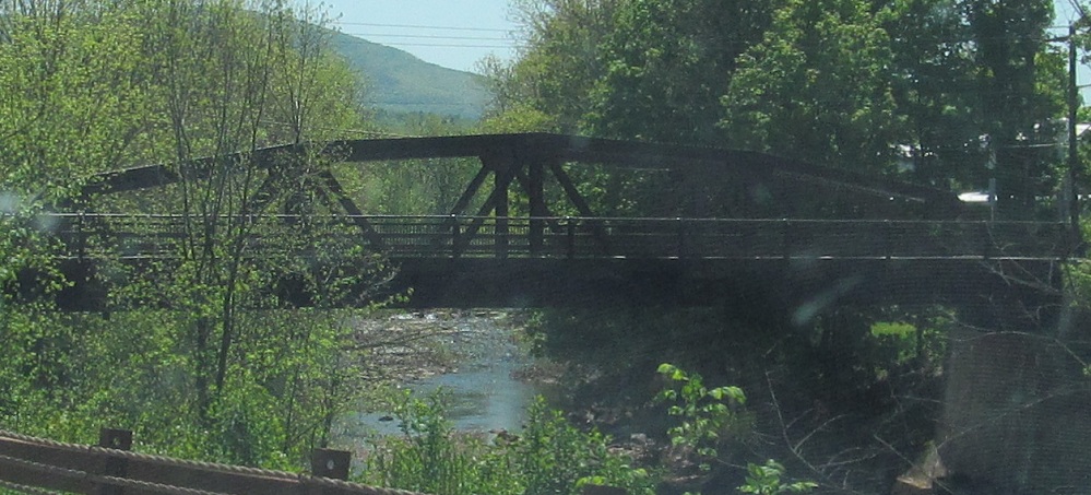
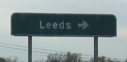
NY 23 EB enters Morris as it gets off the bridge, but just to the south is Butternuts. Wouldn't you rather turn right?
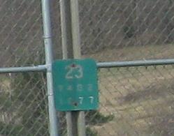
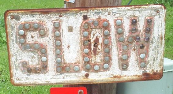
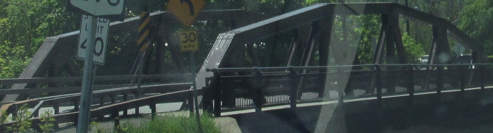
On a short concurrency with NY 51 in Morris, NY 23 (here WB) picks up 51's trend of leaving old-style reference markers all over the place.
EB in Oneonta.
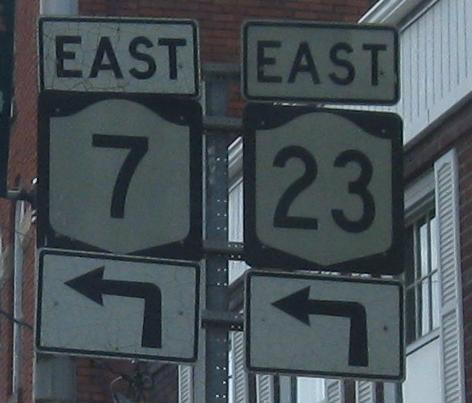
WB and EB embossed signs near the inimitably named Butts Corner, courtesy John Krakoff.
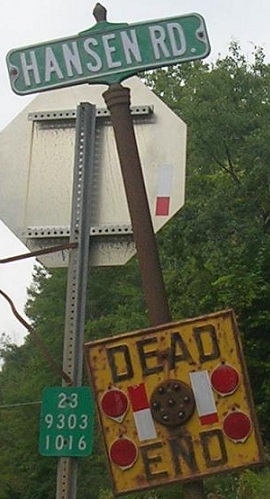
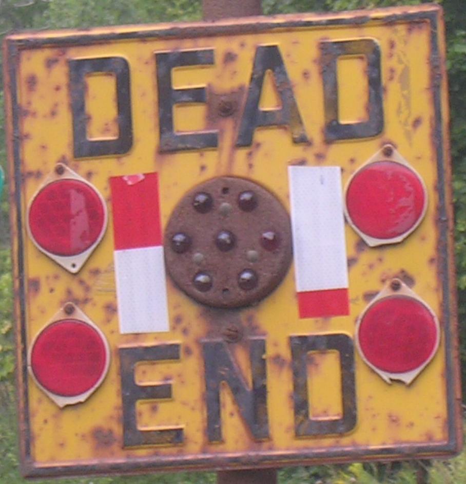
Another sign EB near West Harpersfield, again from John K. Some of the older NY warning signs (after the cast iron stage of the 1920's) had what appears to be a standard red circle of reflectors. What, does that warn you there's a sign there? Click for closeup so you can see exactly what I mean.
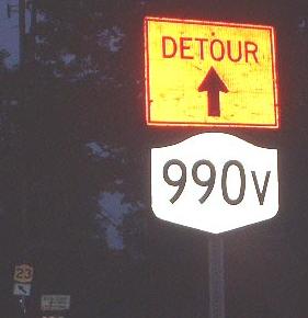
Two photos from Doug Kerr, first on an old alignment just west of Stamford and then the magical appearance of a reference route in Prattsville. Any route beginning in 9 and ending in a letter is supposed to be a secret, but this one has been outed here (WB) and on the NY 30 end. The shields on and at 30 are old and cracked, so presumably aren't related to this temporary one.
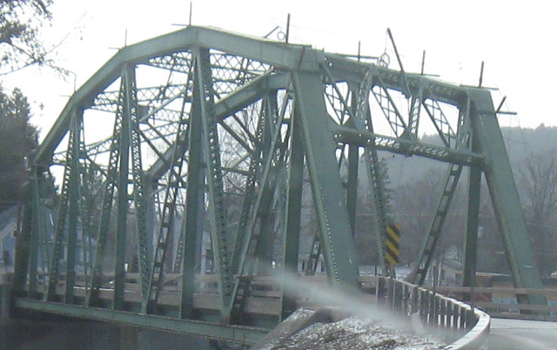
Speaking of Prattsville, NY 23 EB over frozen Schoharie Creek, then east to Windham. The spikes are to hold up utility lines.
High Peak Rd. east of Windham is a loop but not an old alignment of NY 23. Nevertheless, here's a reason to check it out.
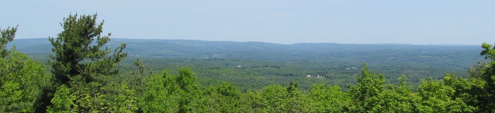
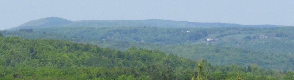
Something else to check out, a scenic viewpoint less than 2 miles east of High Peak Rd., looking at the Catskill Creek valley.
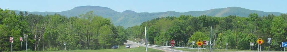
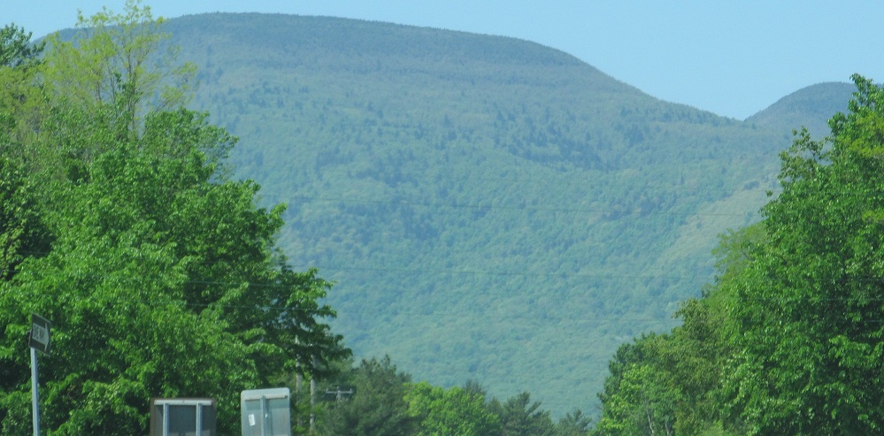
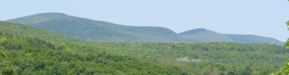
WB at the scenic beginning of NY 145, with Windham High Peak in the background.
WB leaving Catskill, at Greene CR 47 in Cauterskill.
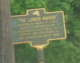
Skipping the exciting but unphotographed Rip Van Winkle Bridge, WB on the east side of the Hudson River. Lower Manor was the old name for Claverack, and the last photo is shared with NY 9H.
Old NY 23 in Greene County
Greene CR 23B, former NY 23
Into Massachusetts on 23
Onto NY 7
To NY 990V
Onto NY 145
Onto Greene CR 47
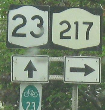
Onto NY 217
See more of Greene County
Back to New York Roads
Back to Roads