New York Roads - NY 12, 5/8/12
NY 12, 5/12, 8/12, and 5/8/12
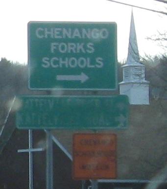
NB through Kattelville, where CR 96 (River Rd.) leads to Kattelville Rd. if the sign can be read, to a concurrency with NY 79.
NB through and past Greene. Also see old NY 12 in Greene, linked at bottom.
NB on one of the old alignments of NY 12, I think Warn Pond Rd. In fact, I'm not even sure it's NB.
Photos I'm sure are SB, from the south side of Norwich down to Oxford.
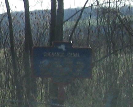
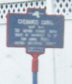
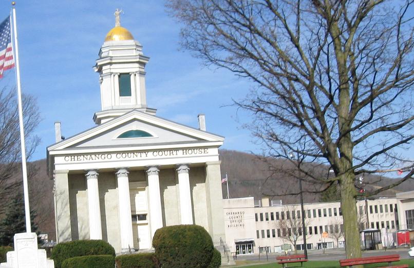
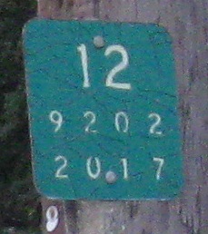
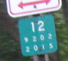
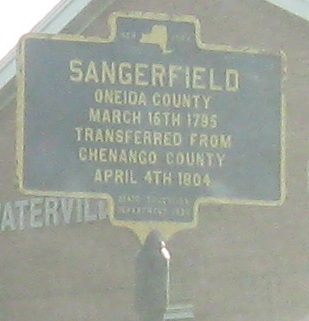
Continuing north to Norwich, where the old reference marker rests.
One more old NB marker before leaving Norwich.
But here are a couple more SB.
SB in central Sherburne at the corner of NY 80.
 One more SB photo.
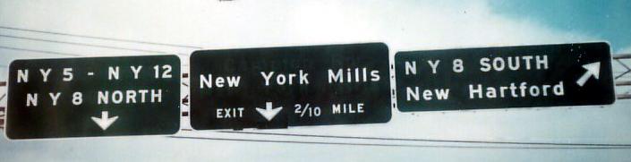
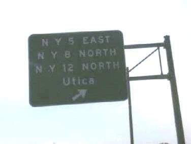
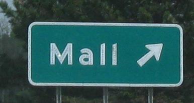
Two photos of NY 5/12 EB/NB approaching the NY 8 triplex and Utica, followed by a 1976 photo in the same location courtesy Michael Summa. The first photo, courtesy Doug Kerr, has been replaced because NY 840 (Judd Rd.) was connected to the interchange in the intervening years. The second photo is the only button copy that survived the reconstruction. The third photo is from before NY 840 existed and the continuation of the NY 8 freeway just went, as you can see, to a local suburban road (that's a town, not a mall). NYSDOT liked using 10th-mile distances.
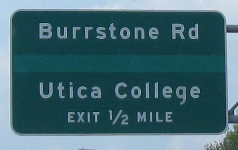
NY 5/8/12 WB/SB, and then Burrstone Rd.; second photo courtesy Doug Kerr.
 Court St. EB at the railroad along the west side of NY 5/8/12.
On the last NB ramp before I-790 begins.
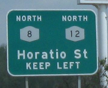
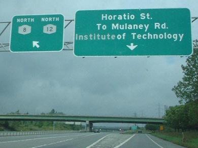
North of the I-790/NY 5 area (see big link at bottom), the best signs to be found are on the NB C-D road, as entered from 5/790 WB (as in my case) or straight from 8/12 NB. The first sign is of course for the 5/790 folks. What was on that third sign before, Inst.? Instit.? This is the SUNY IT, by the way, not the Mulaney Rd. IT, and technically the C-D road is already Horatio St. That last photo is courtesy Doug Kerr.
NY 12 SB at the other end of the duplex, courtesy Doug Kerr. The only road that doesn't switch partners is NY 8 - 12 starts with 5 and ends with 8, and 5 starts with 12 and ends with I-790.
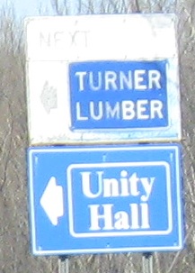
To help you find the SB button copy, it's just south of the turnoff (seen NB) for Turner Lumber.
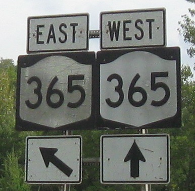
When you've got it, flaunt it, and that goes for signs as well, which are found on the SB exit to NY 365.
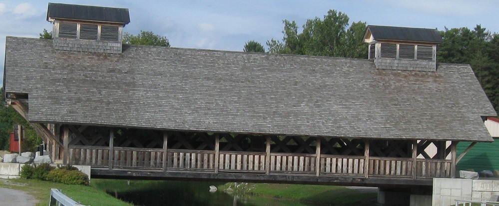
Boonville built a new covered bridge on the east side of NY 12 just for snowmobilers. Like anyone needs an excuse to build one, although this seems just the slightest bit overwrought.
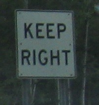
Seen SB, there's a short divided highway section north of Boonville for no good reason. The old stone remains of the Black River Canal are in the middle, which screams to me "just put the road on one side or the other." The non-graphic "Keep Right" is a deprecated style but doesn't appear to be particularly old. Everything about this is weird but cool.
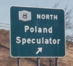
Off to the west about 10 miles from Lowville.
SB at the beginning of NY 12E, and then looking north along James St. at the entrance to town.
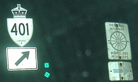
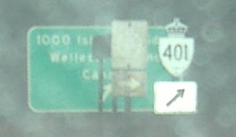
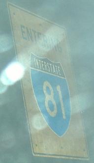
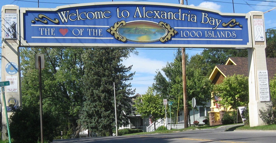
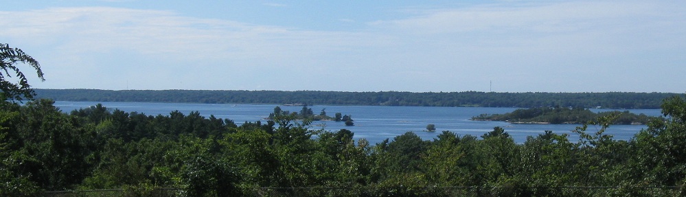
NY 12 SB (first photo) and NB (second photo) showing off cutout shields that must have been purchased from, loaned from, or donated by Ontario. The third photo is on the ramp to I-81 NB and the Thousand Islands Bridge. There's no other way to Wellesley Island nor any nearby entrance to Canada, so there's no terrible need to warn people they're entering I-81. Besides, it's too late by that point.
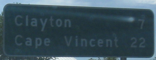
NY 12 SB leaving the I-81 interchange area. Cape Vincent is reached via NY 12E.
Church St. north from the Otter St. intersection, formerly the end of NY 26 at NY 12.
Looking west near the end of the route.
Onto I-790 and NY 5/8/12/I-790
Onto NY 5 alone
Onto NY 8 alone
Old NY 8/12 and 5/8/12 in Utica
Old NY 12 in Greene
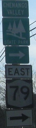
Onto NY 79
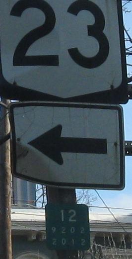
Onto NY 23
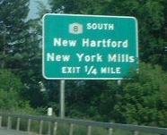
To New York Mills
Onto NY 840
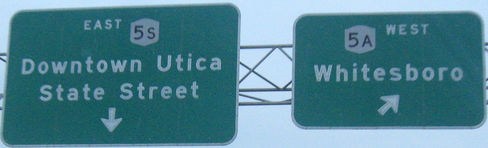
Onto NY 5A
Onto NY 5S
Onto NY 49
To I-90
Onto NY 365
Onto NY 12E
Onto I-81
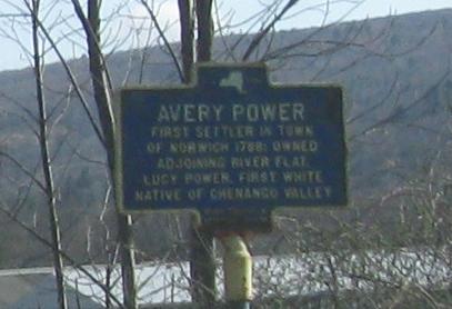
Norwich Non-Roads
Lowville Non-Roads
To Ontario Highway 401
Back to New York Roads
Back to Roads