New York Roads - I-278 - Staten Island/Gowanus Expwys.
 Staten Island and Gowanus Expressways
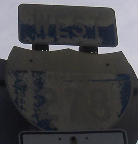
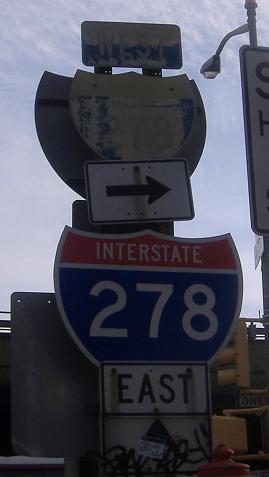
This ancient sign for the onramp to I-278 EB obviously dates from the beginning of the expressway. An I-278 shield never made it onto this sign, and the post holding it up is a design that hasn't been used in at least 50 years. Courtesy Doug Kerr.
Onramp from Goethals Avenue just past Forest Avenue, courtesy Scott Colbert. Goethals Avenue is what was replaced by I-278 (and became frontage roads), leading to the namesake bridge.
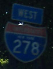
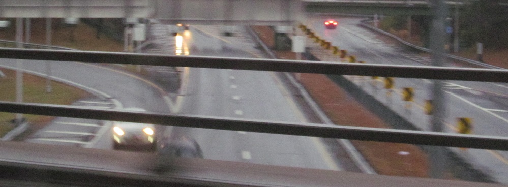
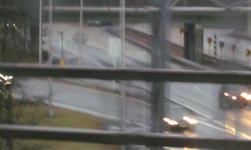
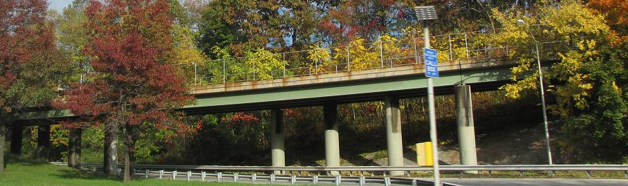
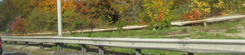
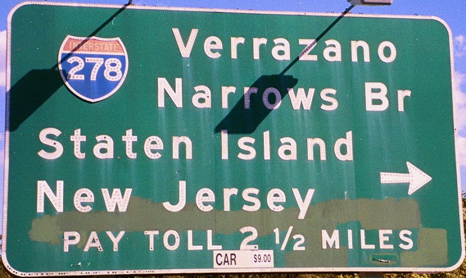
Continuing west from that ramp to the NJ border. Click the NJ link at bottom for more bridge photos.
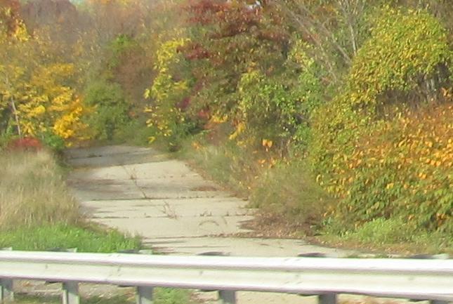
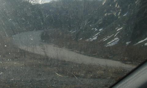
Looking south at the stub end of the Willowbrook Expressway that was supposed to turn into a parkway to Great Kills Park. Now it just ends in ramps to Victory Blvd.
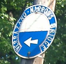
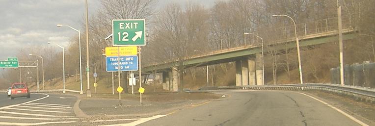
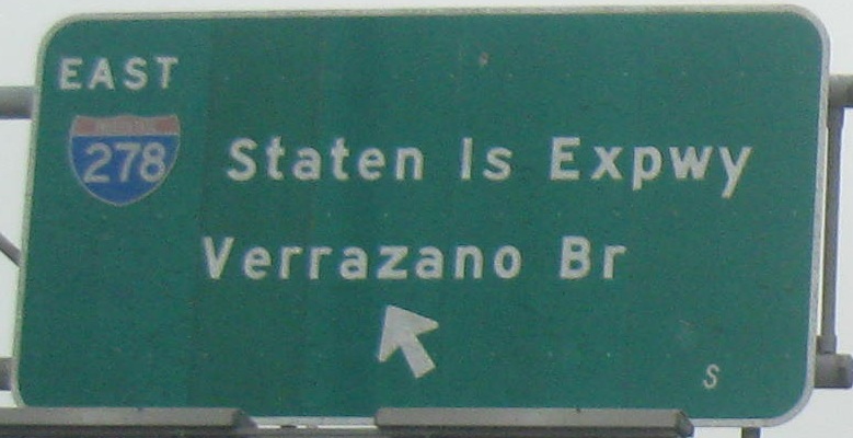
The onramps from Clove Rd. at Exit 13 and Slosson Ave. at Exit 12, and the old bridge sign if you don't get on the highway. Since the Verrazano is the eastern Staten Island bridge, this sign must be directing traffic across the highway to the EB frontage road.
At the bottom of the EB Exit 12 ramp.
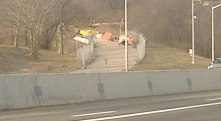
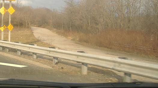
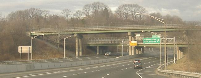
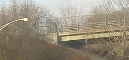
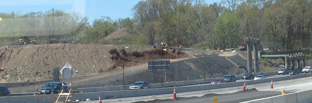
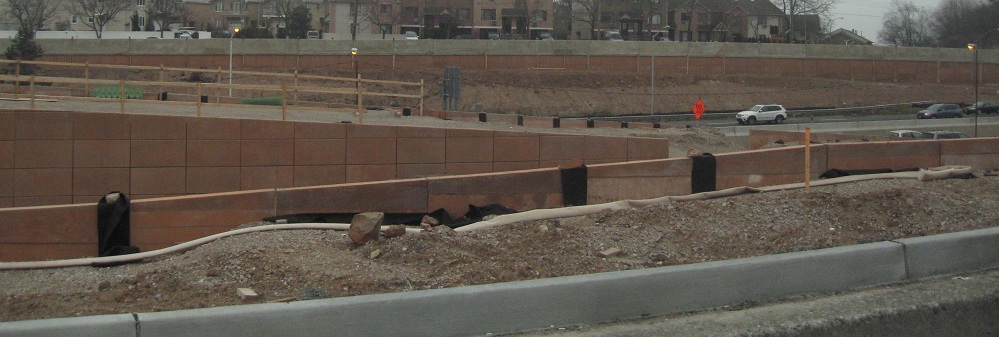
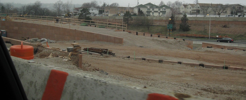
A lot happens between Exits 13 and 12, and it's all related to the aborted continuation of Richmond Parkway. Besides this paved wye interchange, the only traces are forested right-of-way all the way back to Richmond Ave. The first photo is the NB-EB ramp, the next two are the WB-SB ramp, and then you see the WB-SB ramp crossing under the NB-WB ramp. (All of these ramps are abandoned, because there's nothing to connect to.) Then comes a closeup of the gate at the end of the WB-SB ramp bridge to prevent miscreants from taking materials such as valuable guiderail or defacing the bridge with graffiti. On the other side of the interchange, you have the NB-WB ramp flying over the active Exit 12 ramp and then merging in.
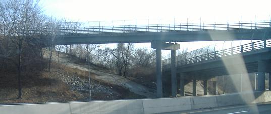

Now eastbound through the ghost interchange at Exit 13. The first three photos would have been the EB-SB ramp, the fourth photo is another perspective of the overpasses crossing, and the last photo is where the NB-EB ramp would have merged with little distance before the next exit. Even though the proposed wye was shoehorned in between exits barely a mile apart, the only ramps that would have been braided were the NB-WB ghost and WB Exit 12, leaving very short weaves to and from the other three ghost ramps. To see a perspective from the abandoned ramps, click through at the bottom of the page.
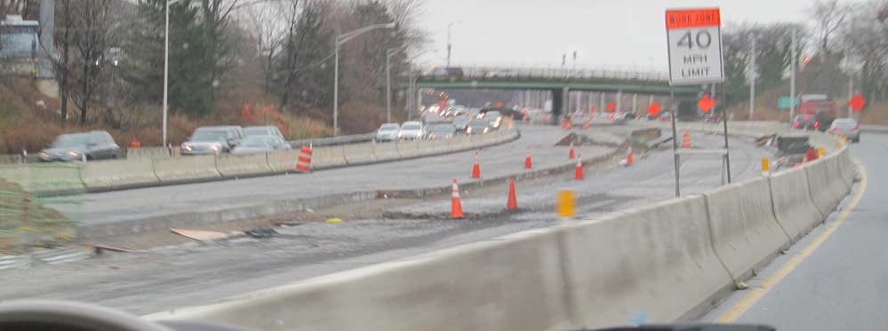
More was happening in 2013, with a westward extension of the HOV lane through this area (here seen WB).
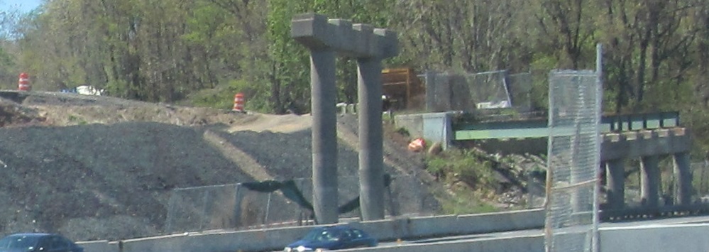
In 2014, lamentably, the old abandoned Exit 13 bridges were removed. I'm passing what's left WB.
The minimalist approach? Lincoln Ave. southwest from Lily Pond Rd., courtesy Scott Colbert.
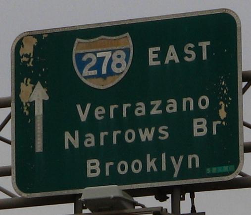
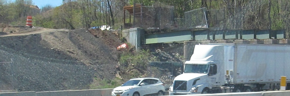
The entrances from Clove Rd. (Exit 13) and from Fingerboard Rd. and Hylan Blvd. (Exit 14, now gone), second photo courtesy Scott Colbert.
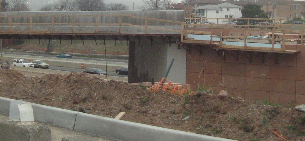
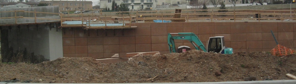
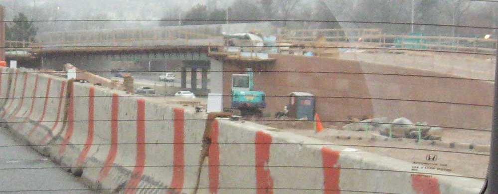
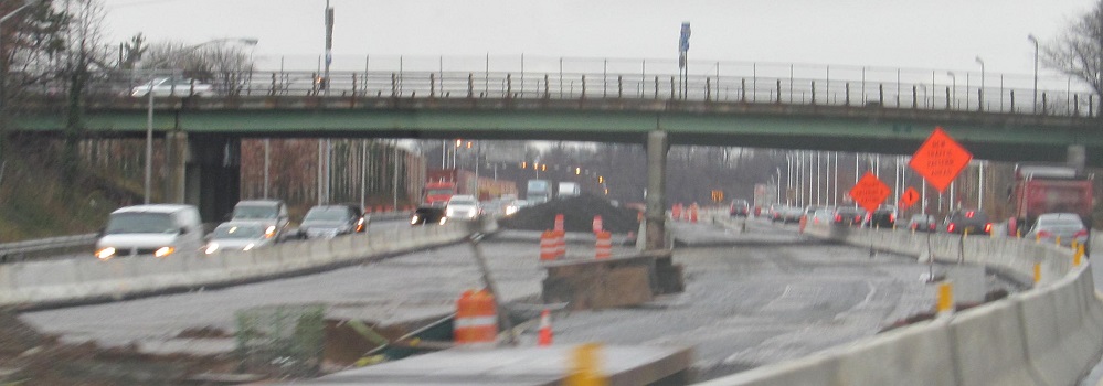
Why is that button copy now gone? Because of ramp reconstruction to turn a mainline EB weave between Exits 14 and 15 into a braided on/off pair. The future Exit 14 onramp flies over the future Exit 15 onramp in these photos, taken from Narrows Road South.
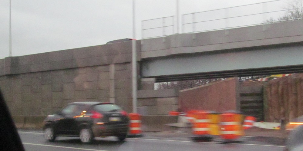
Here's the new EB split to the Lower Level, passing under the entrance from Exit 14.
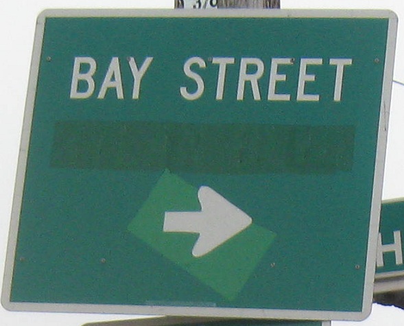
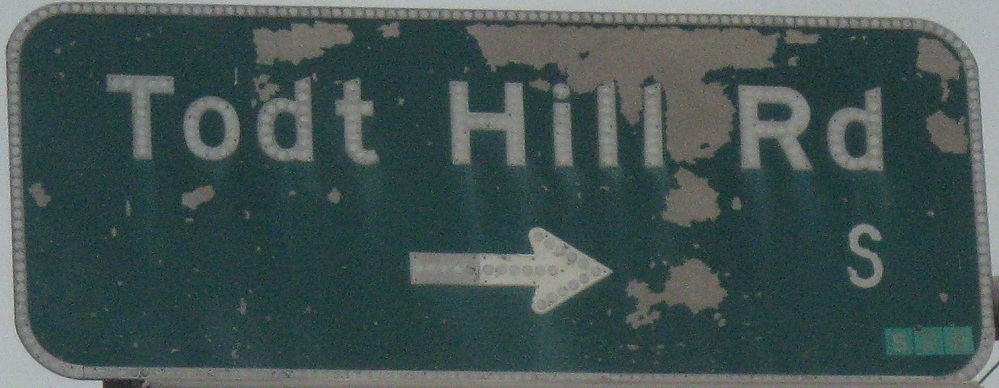
At the top of WB Exit 14, fresh out of the toll plaza, looking totally unassuming without a much closer look. Hylan Blvd. was once on the sign, and I presume the brighter green patch covers a straight arrow. Making a right here gets to Bay St. sooner, but Fingerboard Rd. is a lot narrower than Hylan Blvd. and not really suited for trucks.
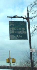
One more old entrance sign, skipping over the Verrazano Bridge (now on its own page) and heading into Brooklyn. This was on 92nd St. EB in Brooklyn (Exit 17) and is courtesy John Krakoff.

6th Ave. NB and SB at I-278 Exit 20. The new signs should be white on blue, and the old signs should be replaced. Click on the first photo for a close-up of the state-name shield.

WB (SB) on the Gowanus, second photo courtesy Doug Kerr.
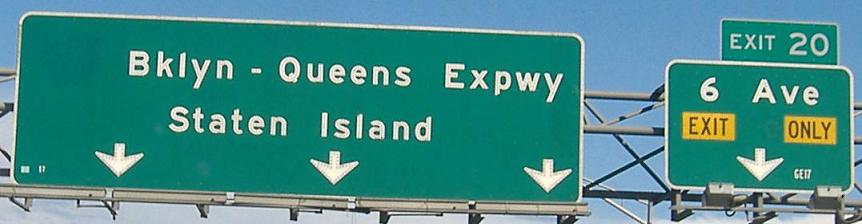
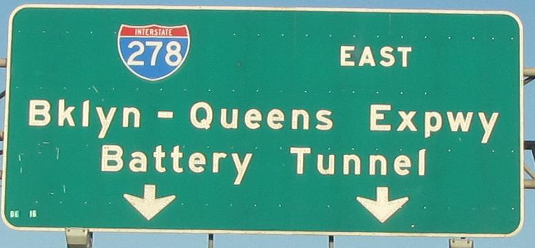
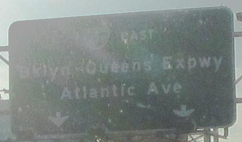
Again, this isn't the BQE at all. The Gowanus Expressway extends from the Verrazano Narrows Bridge to the Brooklyn Battery Tunnel (secret I-478), but for continuity's sake it's signed as part of the Brooklyn-Queens Expressway to the east. The Gowanus was there first, so this is of course unfair.
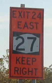
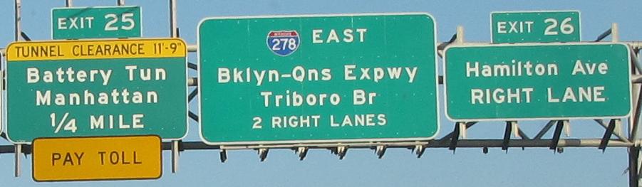
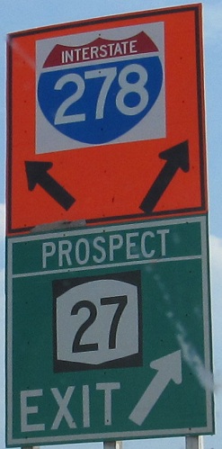
The last EB Gowanus button copy is now at Exit 21 and Exit 25 (and not for the exit signs), and there's nothing good between. The NY 27 shield is particularly inexplicable, as if the hump atop the shield is really a wave that has now broken for shore.
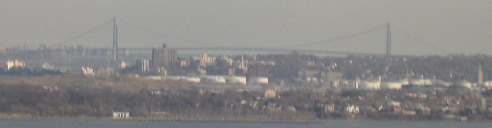
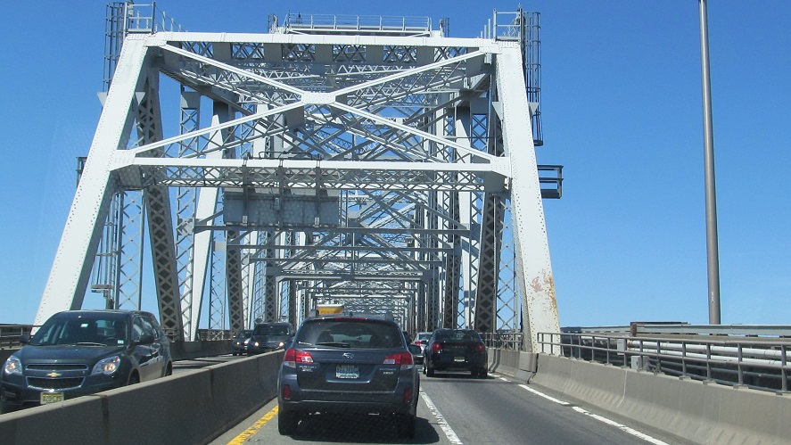
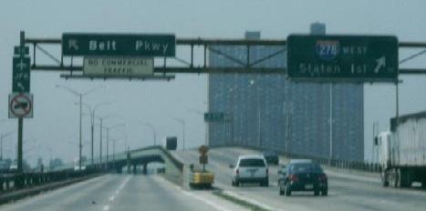
The first sight of the Verrazano Bridge from I-278 WB, way back on the Gowanus near Exit 23.
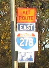
I suppose I've already seen worse on this page than this WB construction shield (the split is temporary), but I can still complain.
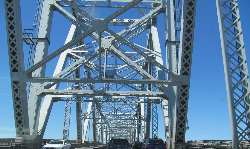
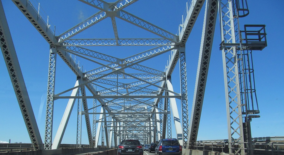
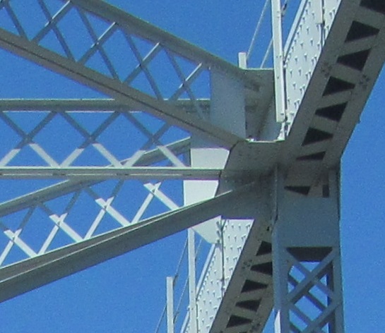
Onto the Verrazano Narrows Bridge
Into the abandoned Richmond Parkway/I-278 interchange
Drive the eastbound Verrazano (upper level)
Underneath the Gowanus Expwy.
East to the Brooklyn-Queens Expressway eastbound, westbound, and cross streets
Back to I-278 main page
Follow I-278 into NJ
Staten Island and Gowanus Expressways on Steve Anderson's nycroads.com
Exit 24 to NY 27
Exit 25 to the Battery Tunnel
See more of Staten Island
See more of Brooklyn
Back to New York Roads
Back to Roads