New York Roads - I-278 - Verrazano Bridge
I-278, Verrazano Narrows Bridge
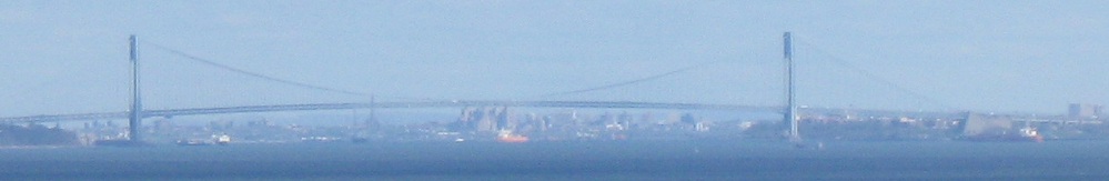
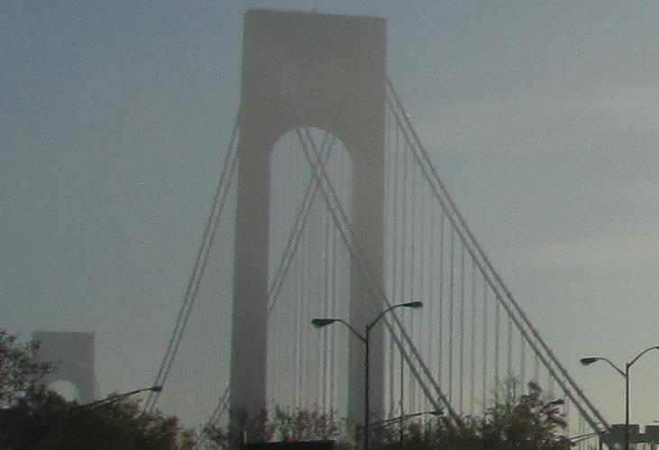
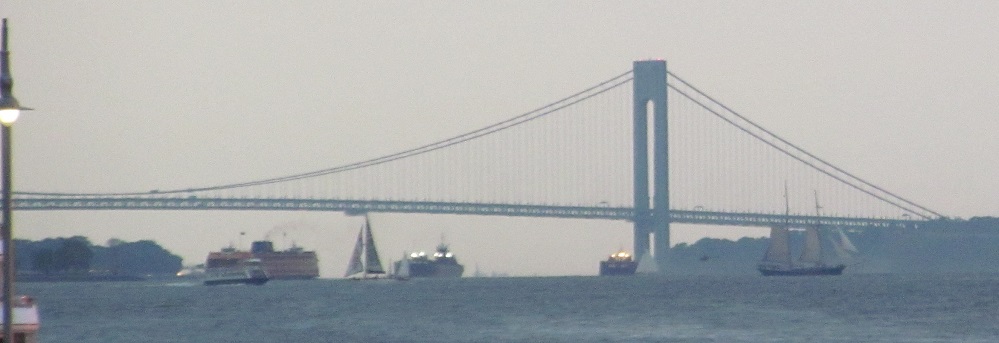
Seen from the Atlantic Highlands of New Jersey.
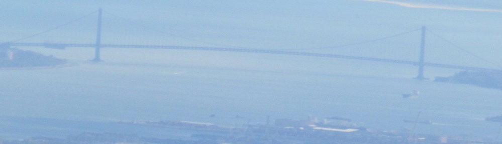
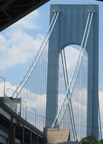
Seen from above.
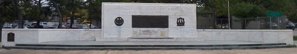
Outside the administration building on Staten Island.
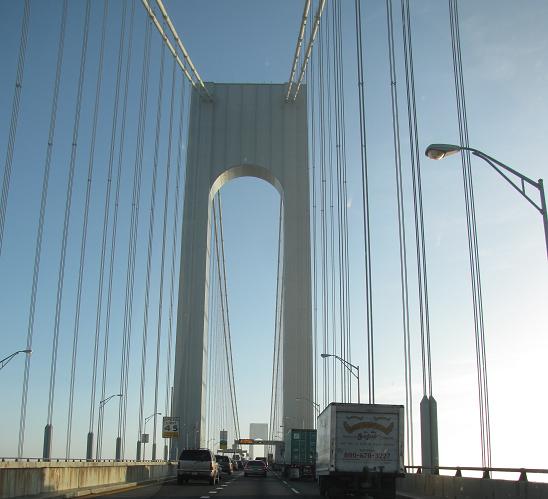
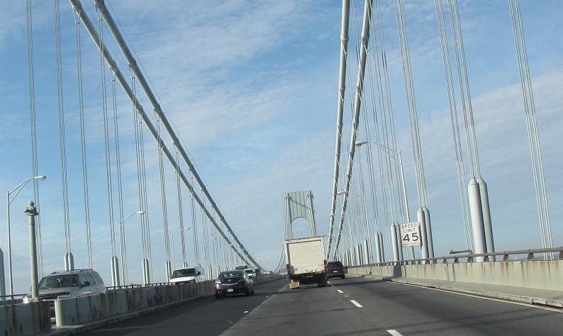
Eastbound
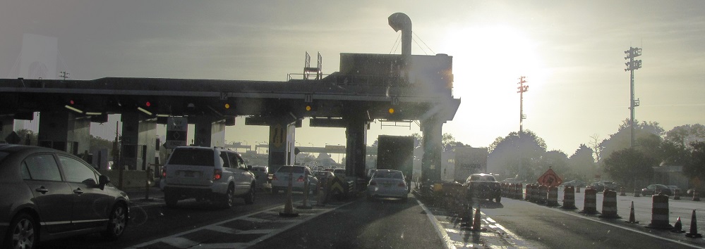
The Verrazano was placed under one-way tolling in 1986 and the EB booths were only removed in 2014. Two-way tolling has since been restored but using open-road tolling, so the WB plaza is also gone now.
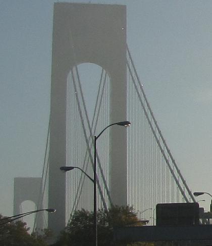
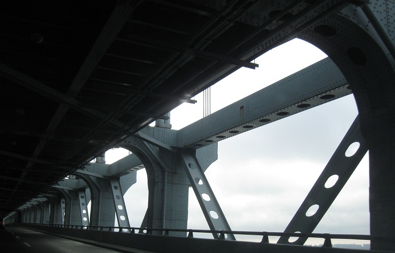
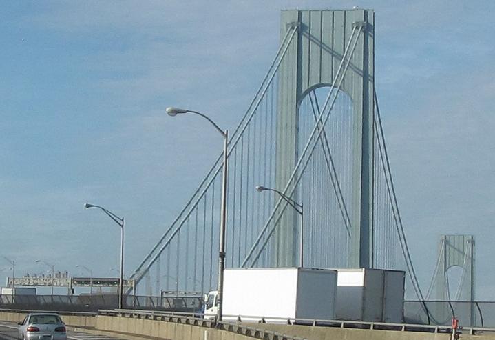
Starting across the bridge. Click on any of these photos for a video heading toward Brooklyn.
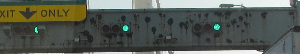
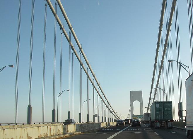
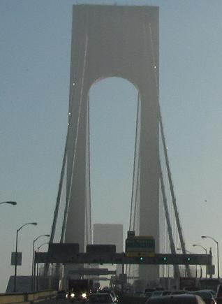
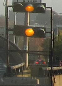
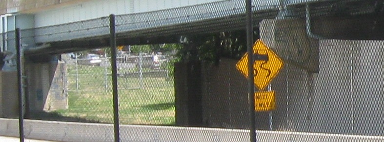
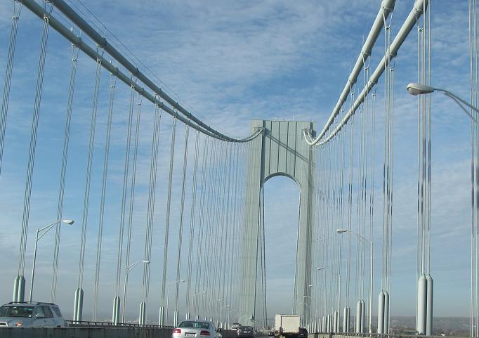
Continuing to about midspan. Most of the lane-control signals don't work anymore, but occasionally you'll catch green or yellow (usually flashing in that case). I haven't seen them be useful, so don't expect them to stick around - especially because all these original supports are coming out with a planned project to reconstruct the bridge median.
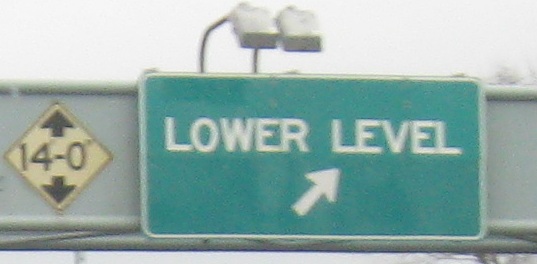
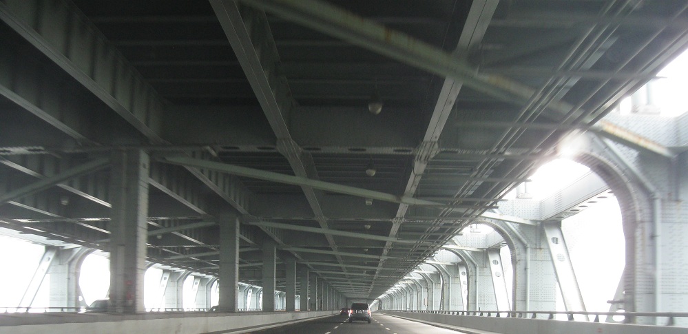
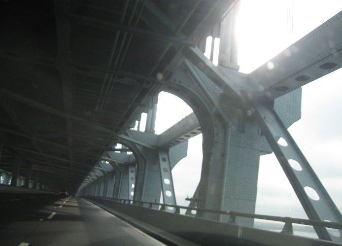
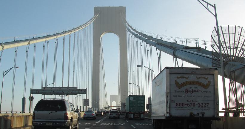
Meanwhile, the view from the lower level.
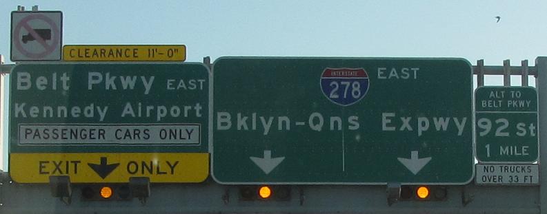

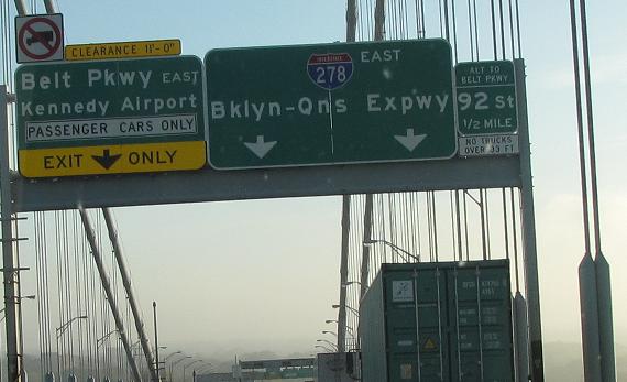
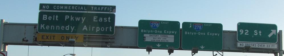
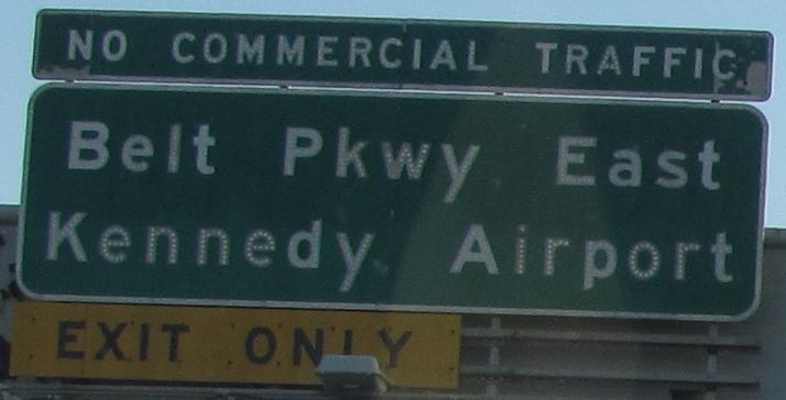
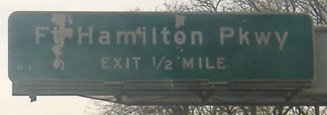
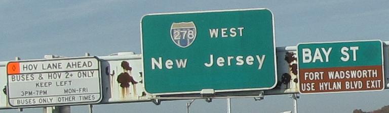
There's still that one button copy sign, but the rest of the EB signage is now ugly with bubble shields and too much information crammed into too small of a space. Also, the MTA (which absorbed the TBTA, Triborough Bridge and Tunnel Authority) is inclined to call the Gowanus Expressway part of the Brooklyn-Queens, which is wrong and denies some interesting history (described further on that page, linked below). Click on the penultimate photo for a closeup of the one good sign.
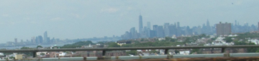
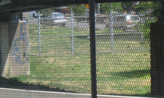
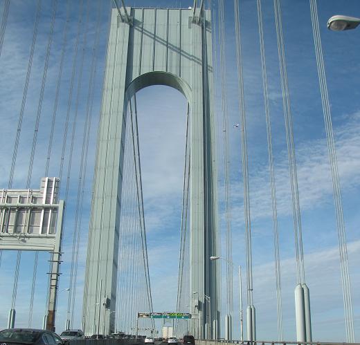
The view north from the Upper Level yields both NYC and Jersey City (left).
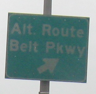
Who knows how long 92nd St. has been signed as an alternate route in times of congestion?
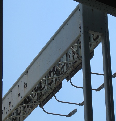
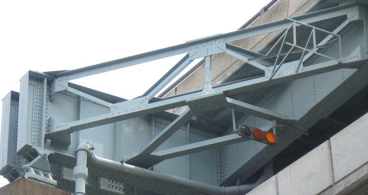
Two other views of the Belt Parkway interchange - the back of the upper level Belt Pkwy. sign gantry (the same one I wanted you to click on in the last caption) and the support structure for the upper level at the lower level Belt Pkwy. split., complete with useless flashing signals above the exit.
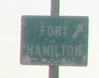
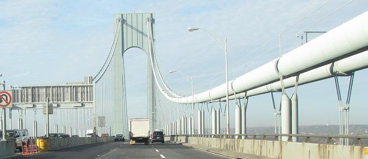
Sadly gone, this was once just off the bridge and the last old TBTA eastbound sign before NYSDOT jurisdiction resumes.
Once upon a time, the lower level ramp to 92nd St. crossed under the upper level ramp and merged into Dahlgren Place first. For whatever reason (perhaps visibility or ramp geometry), the ramp was moved closer to 92nd St. and this former ramp was abandoned.
Westbound
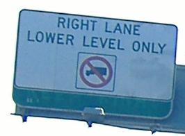
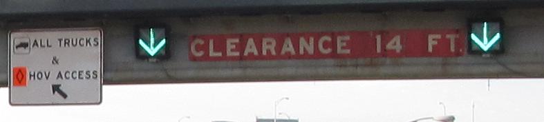
Something once had to KEEP RIGHT, probably the lower level, but post-9/11 truck restrictions required a new message, and rather than amend the existing, it's just patched over. Except the new sign doesn't quite fit.
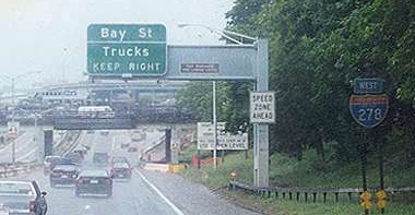
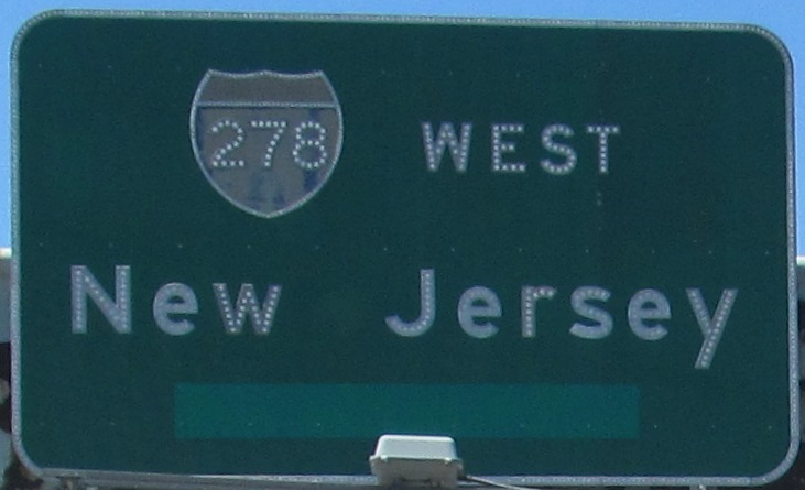
For a majority of 2001 and all the years before, trucks were allowed on both levels of the Verrazano. (Doesn't it sound silly that they're not anymore when I put it like that? Here you have button copy, original sign support, and state-name shield (possibly original as well), courtesy Bill Mitchell.
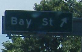
New arrows, old sign, same lousy orange diamond as on the other side of the river, entering the bridge from 92nd St. in Brooklyn. Upper level is left, lower level is right.
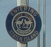
Unique borough sign. There are only three other entry points into the island (other than by water), and they all come from New Jersey, so I think this is the only sign of its kind. Unless there's one on the lower level too. It looks to date from the opening of the bridge in 1964.
The 2nd and 3rd photos are on the same gantry, half over the Upper Level (first photo) and half over the Lower (second), and the last photo is a closeup of the one prior. In all the confusion after the toll plaza, the MTA uses striping to create three separate roadways - one for Upper Level through traffic, one for Lower Level exiting traffic, and one for the other two crossing (weaving) movements. Orange is the wrong color for an HOV lane - should be white on black. Notice the rusty patches over what were once lane-control signals similar to what I showed you EB.
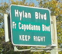
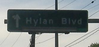
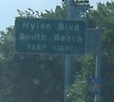
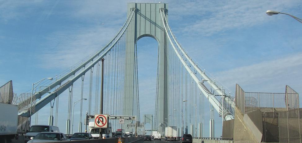
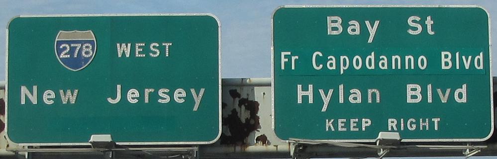
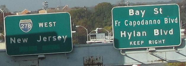
Leaving the Verrazano Narrows Bridge and ending up on the Hylan Blvd. offramp. Fr. Capodanno Blvd. is an obvious kludge, and an inelegant one unless you're a Staten Island native who knows Fr. stands for Father and not France, Friar, Fryer, Frisky, or any other word. To see what predated it, click on that second photo.
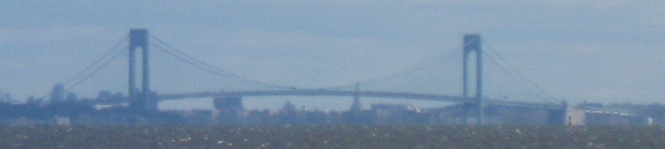
Closing photo from Battery Park.
West or east onto the Staten Island and Gowanus Expwys.
Back to I-278 main page
Onto Belt Parkway
Into Staten Island
Into Brooklyn
Verrazano Narrows Bridge on Steve Anderson's nycroads.com
Back to New York Roads
Back to Roads