New York Roads - Hutchinson River Pkwy.
How cute, the milepost looks like its daddy shield!
 A modern variant, Mill Rd. EB at Exit 18.
Mamaroneck Ave. SB and looking back north as it crosses under the Hutch at Exit 23.
Northbound
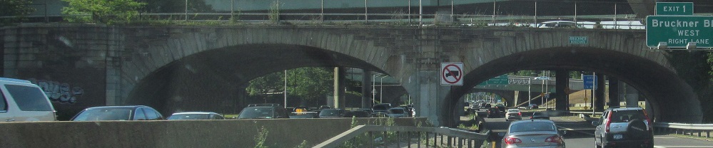
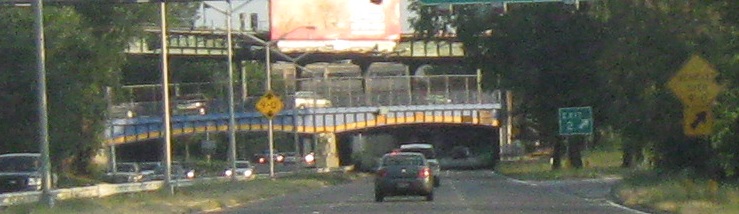
I-678 NB ends and gives birth to the Hutch, which then passes under both directions of Bruckner Blvd. inside the Bruckner Circle that is now the bottom level of the Bruckner Interchange with Bruckner Expwy.
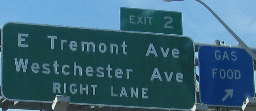
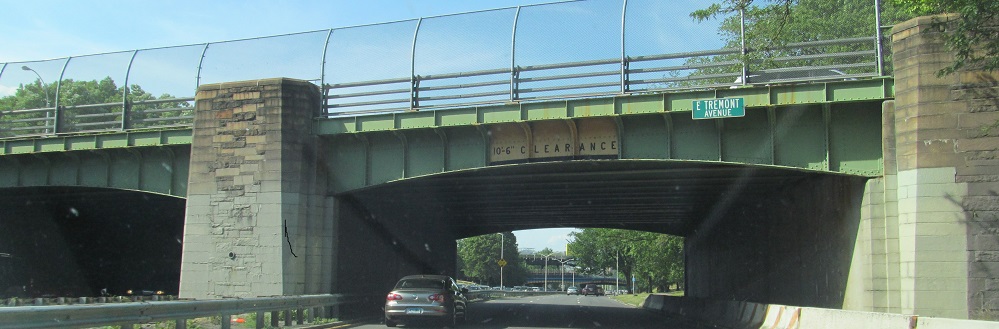
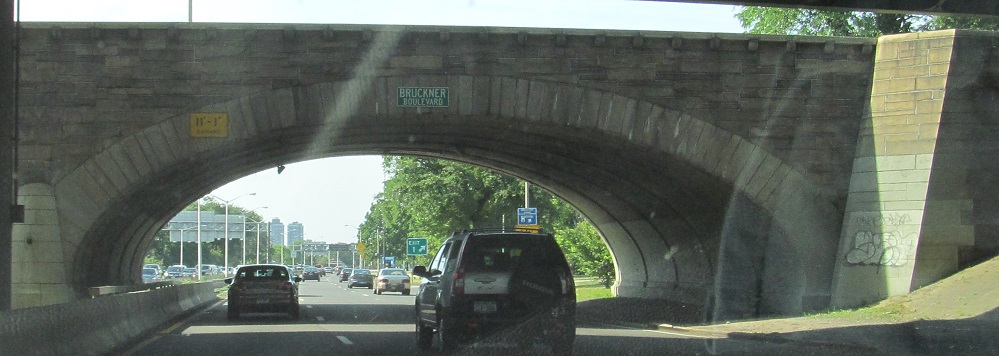
Past Tremont Ave. to Westchester Ave. featuring the 6 line in the median.
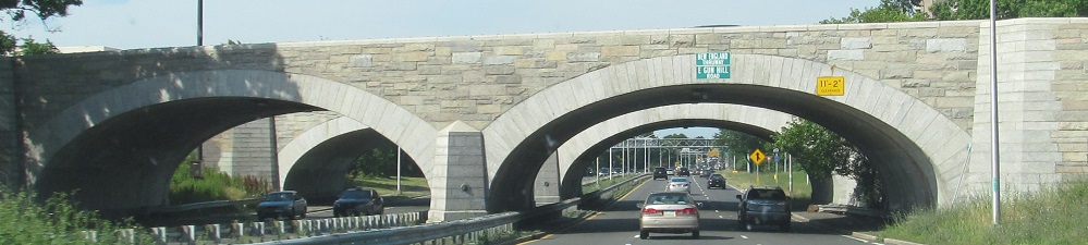
The Pelham Pkwy. bridge at Exit 3 is original. The New England Thruway bridge at Exit 4 is not, but does a good job of emulating the old style. I'm guessing it replaced the original Gun Hill Rd. bridge, but this is definitely no longer Gun Hill Rd.
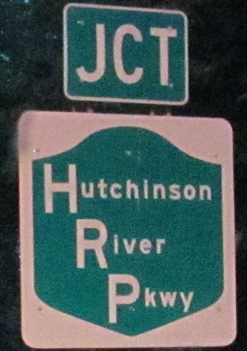
The shield is extra-wide for probably no good reason.
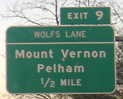
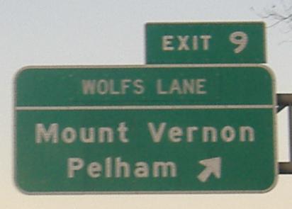
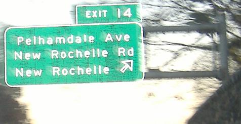
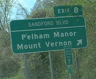
I wonder what was there before Wolfs Lane? (Should be Wolf's Lane, anyway.) Could have been 5th Ave., or either half of the cross street - Colonial Ave. or Sandford Blvd. Or - see Exit 8 on the SB side below - it could have still said Wolfs or Wolf's Lane and just been patched anyway.
I-684 begins here and again at I-287 (though this is really the beginning of the freeway mainline), but there's no exit number. Exit 26A may I suggest?
The last exit in NY. Note the four-digit SR shield. Also worth pointing out is that the CT side, the Merritt Pkwy., immediately drops to Exit 27, which may be a continuation of NY's mileage as opposed to exit numbering; either that, or the NY side has added a few exits since the initial numbering of the highway and CT has not kept up with them.
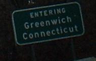 The last sign in NY. Or, the first sign in CT?
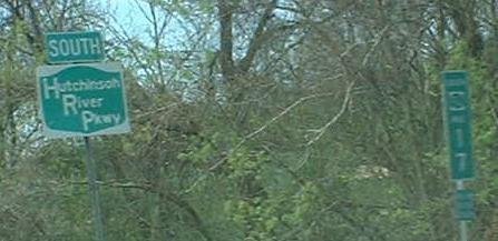
Southbound
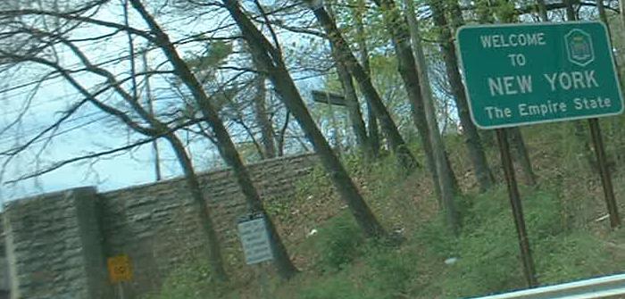 Actually in CT (the bridge is the border). O horror!
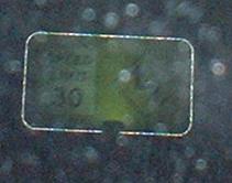
Apologies for the poor image quality, but I have to keep a photo of a button-copy yellow sign with a SPEED LIMIT 30 and sharp jog-left arrow on a fairly important freeway.
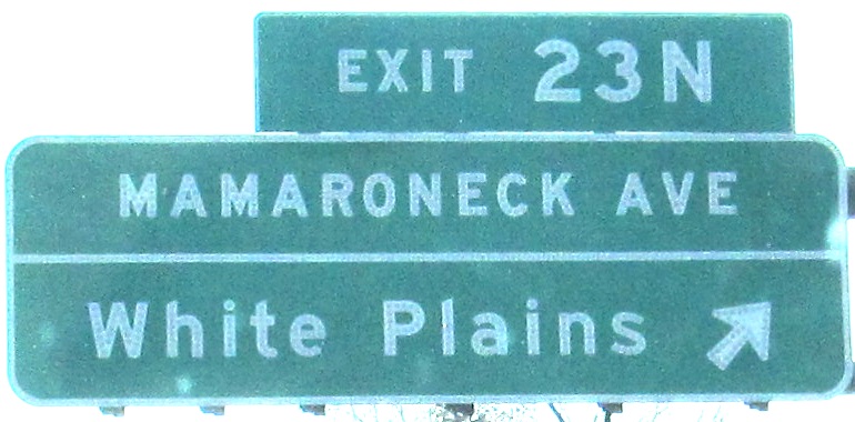
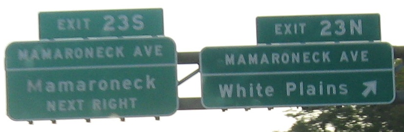
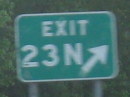
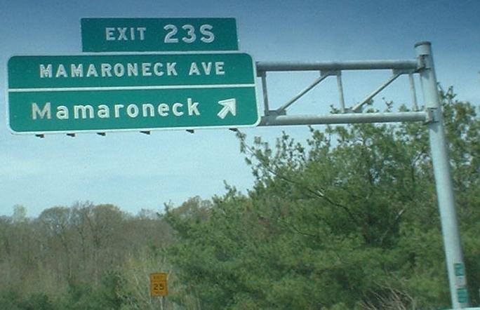
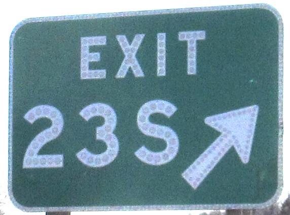
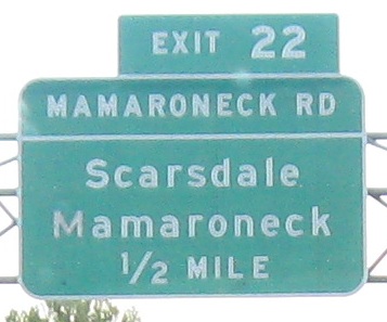
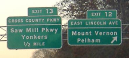
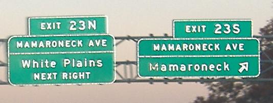
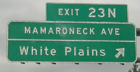
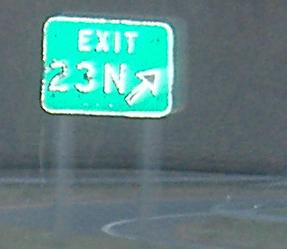
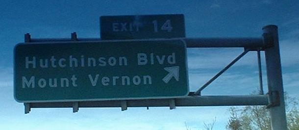
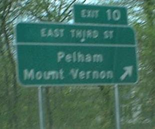
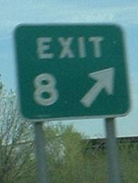
Yep, Mamaroneck is important enough to have consecutive exits devoted to roads named after it.
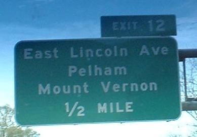
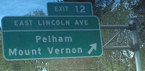
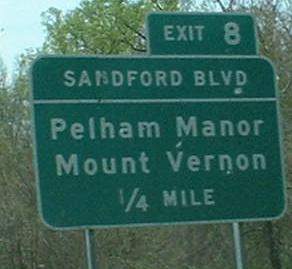
A view at the older (first Exit 12 picture) and newer (second one) ways that NYSDOT signs street names in signs. The newest fashion, not shown here because it's not button copy (try I-684, link below, for a shot of one), has the street name in all caps in a darker green box. But that seems to vary by region (NYSDOT is broken into regions because it's a big state... well, compared to the ones around it).
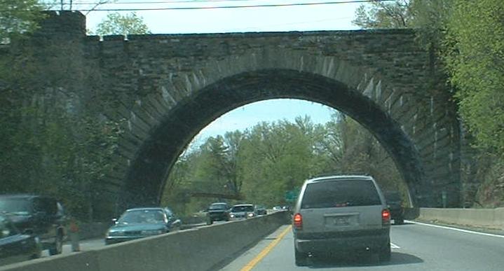
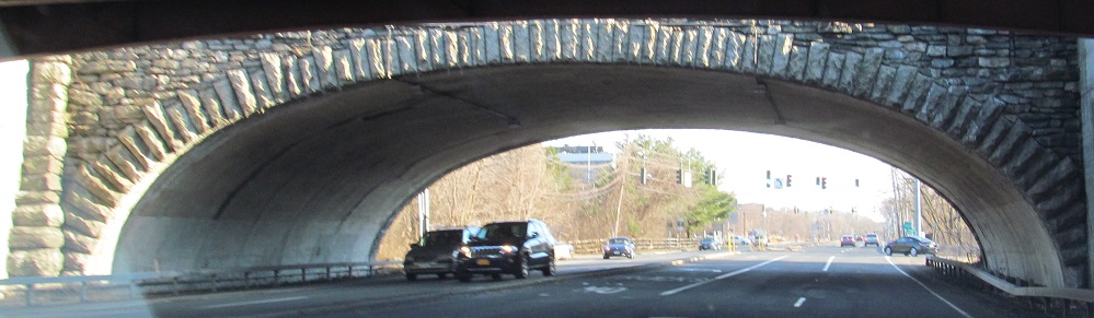
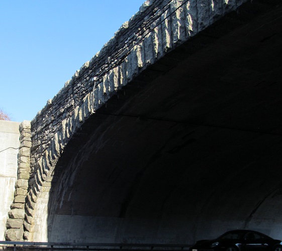
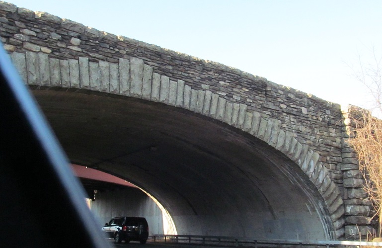
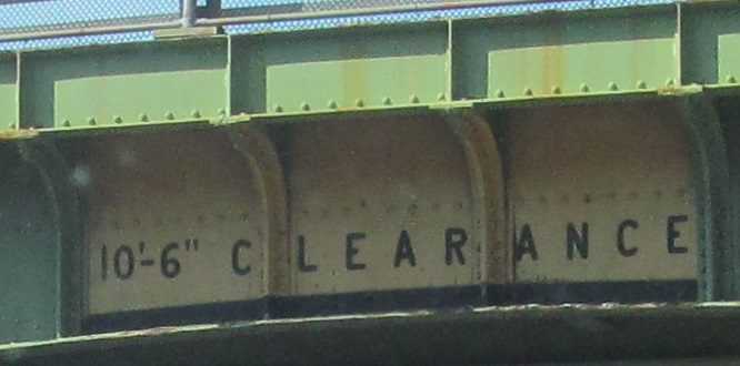
The arch is for an old railroad, and pretty much defines the width of the Hutch. Not that traffic is that bad; a large part of traffic problems on the parallel I-95 New England Thruway has to do with trucks, which aren't allowed on a parkway.
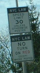
NYC, as a city over 1 million population, is exempt from No Turn on Red, based on NY state law enacted about the same time as national NTOR law (mid-'70's gas crisis). Coincidence? Well, given NYC traffic (taxis, pedestrians, limos, and the few people foolish enough to drive), there's probably not much use to being able to turn on red anyway in a lot of locations. These signs are supposed to appear on all freeway/tunnel/bridge NYC approaches/entrances, but that would be obscenely difficult to check (and a bunch of bridges have tolls).
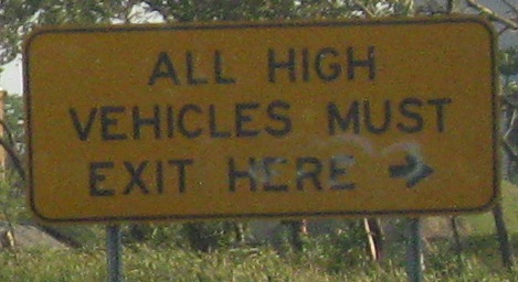
Ohhhhhh, yeah. What were we talking about? Exit 2? Not high at all.
Courtesy Doug Kerr, this is at the Bruckner Interchange, where the Hutch becomes I-678. Well actually, the Hutch technically continues to the Whitestone Bridge, but trucks are permitted on I-678.
Into Connecticut on the Merritt Pkwy. (CT 15)
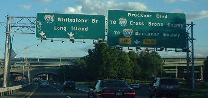
Straight onto I-678 toward the Whitestone Bridge
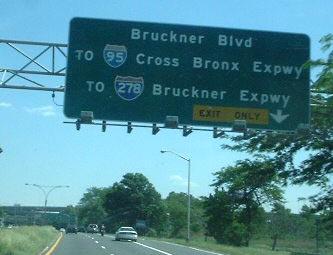
Exit 1 to Bruckner Boulevard
To I-95 (New England Thruway)
To I-278
Into the Bronx
Up onto Pelham Parkway
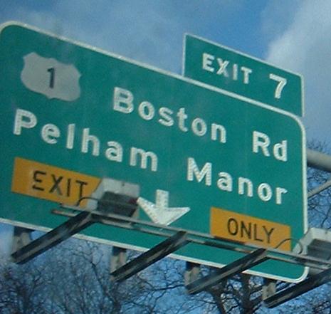
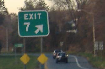
Exit 7 to US 1
Exit 12 to Lincoln Avenue
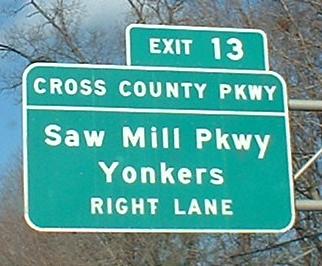
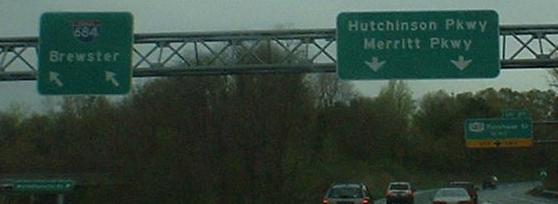
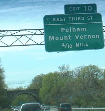
Exit 13 to Cross County Parkway
Onto I-287, the Cross Westchester Expressway
Onto I-684
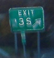
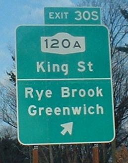
Exit 30S to NY 120A
Into Westchester County
The Hutch on Steve Anderson's nycroads.com
Back to New York Roads
Back to Roads