New Jersey Roads - US 46 - Elmwood Park to US 1-9
US 46 from Elmwood Park to US 1-9
The first photo is in the lower right hand corner of the last one in the previous run, and was taken from the NJ 20 SB/Crooks Avenue onramp to US 46 EB. The second and third are left/right on the same gantry, continuing on US 46 EB.
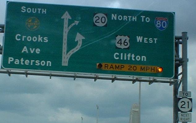
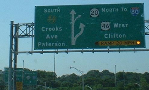
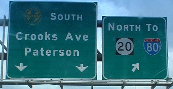
The NJ 20 split as seen from the Passaic River bridge, with the final photo in the thick of the interchange on that Crooks/GSP/20 ramp. Traffic that heads straight comes down to a traffic light, and GSP traffic turns left onto the US 46 onramp from Crooks Ave. Before this interchange was redone, NJ 20 SB traffic to US 46 WB also had to come through this traffic light, but now it flies over.
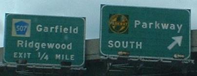
This is the final hookup between the Parkway and US 46. They met a few miles west of here, where the Parkway crossed 46 on its way north. 46 kept going east till it hit the Passaic River, where it found NJ 21, and turned north to get to its bridge. By turning north, it ran into the Parkway again, which was turning east for its own bridge. Once across the river, both roads go the right way once again, and this ramp is EB at Exit 157 (this all started at Exit 154).
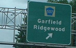
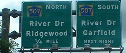
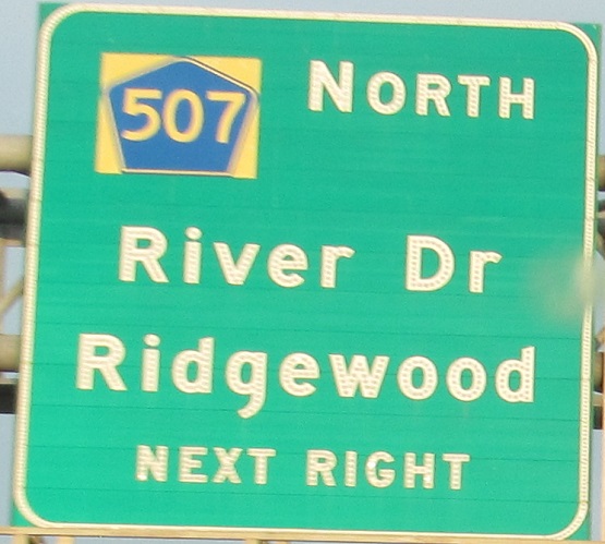
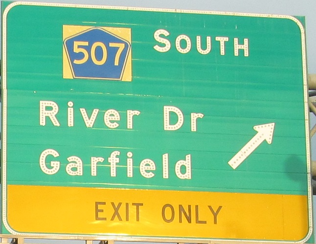
WB, same area. Aren't the old 507 BGS's so much nicer than the new ones?
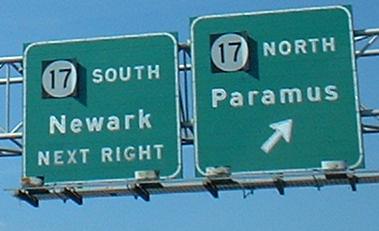
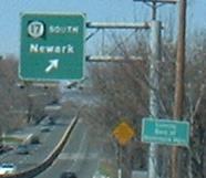
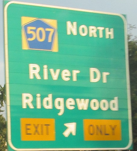
Why are these shields peeling? To me, they look a good bit newer than the signs themselves, so whoever replaced the shields did a crummy job.

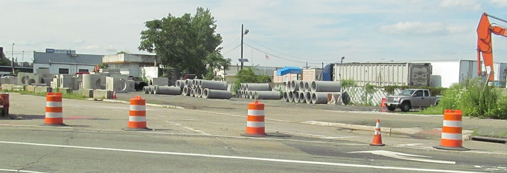
EB through the Little Ferry Circle as it becomes no longer a circle, just an intersection with Bergen Tpk. (original US 46), as of 2014.
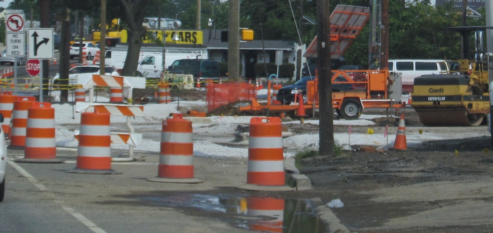
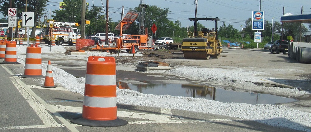
Northward views of pavement coming out.
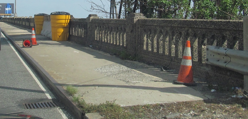
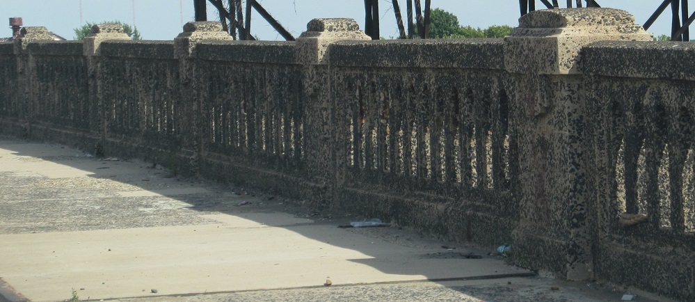
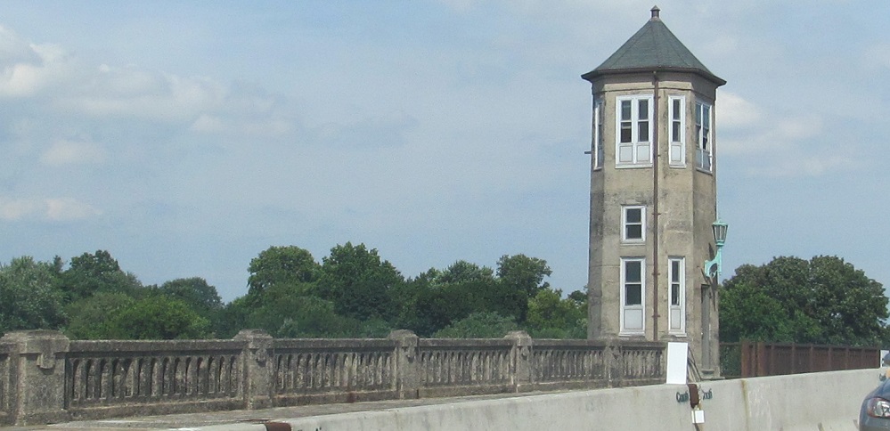
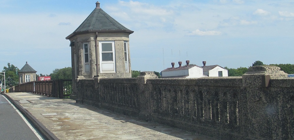
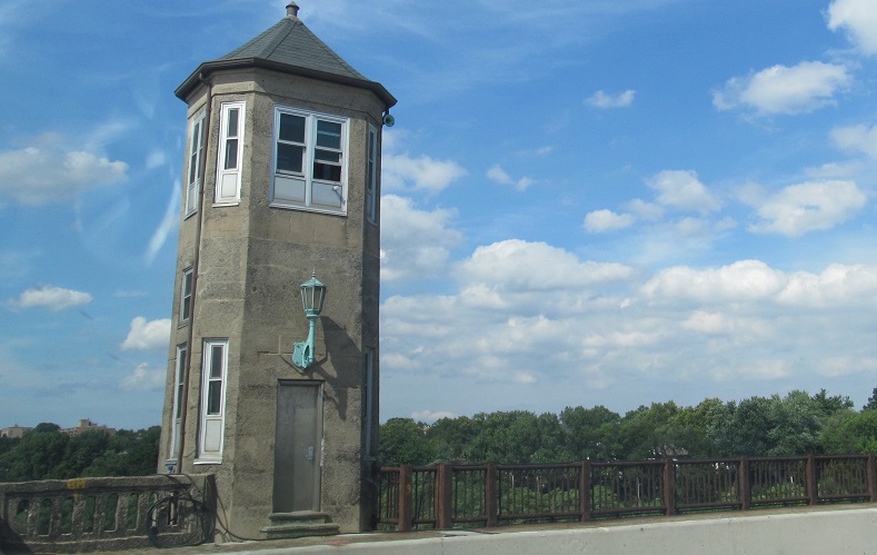

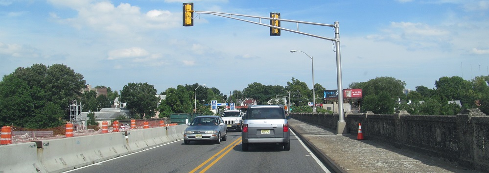
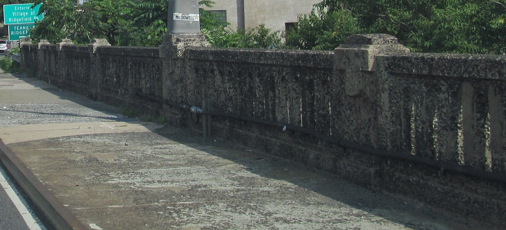
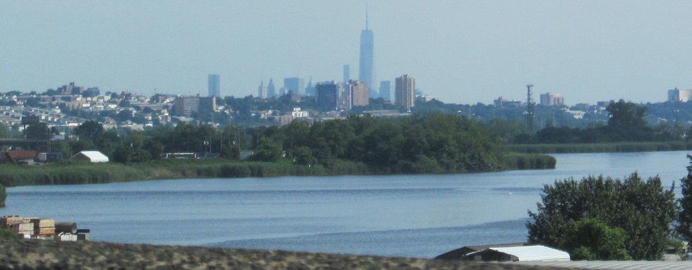
Entering Ridgefield Park on the 1934 Hackensack River drawbridge, being refurbished instead of replaced at age 80.
This old drawbridge gate (EB) appeared to be gone when I went across, perhaps removed for refurbishing or replacement in the work zone.
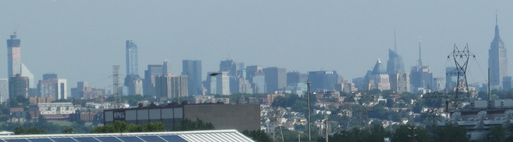
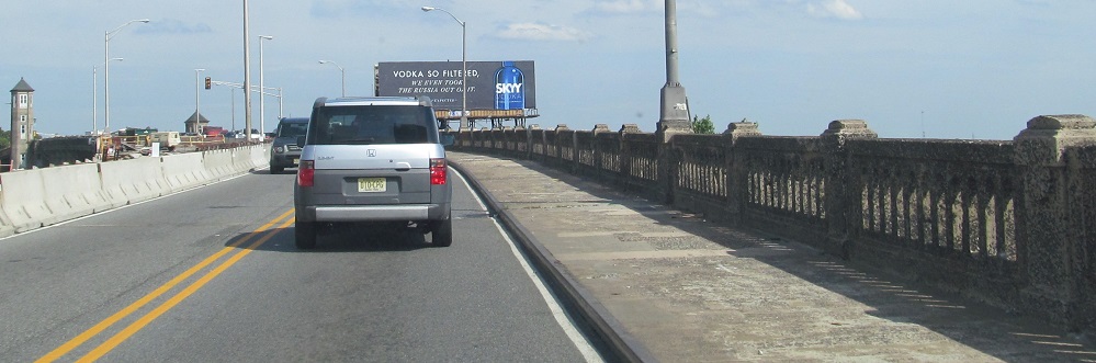
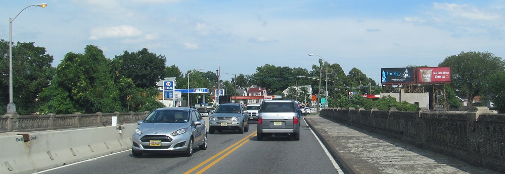
Midtown and downtown Manhattan appear as I cross.
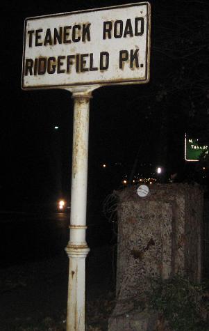
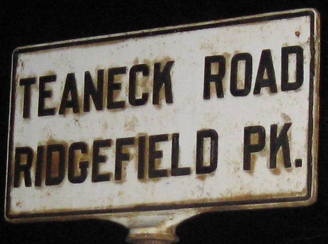
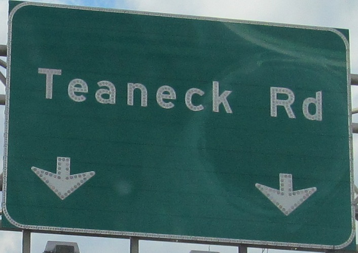
Eastbound after the bridge (you can see a corner of one of the below signs in the background), this will come up quickly if you're not expecting it, right before the Teaneck Rd. overpass. Pray this sign sticks around for another 70 years.
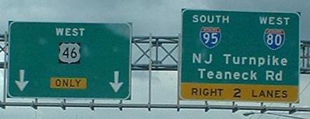
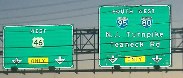
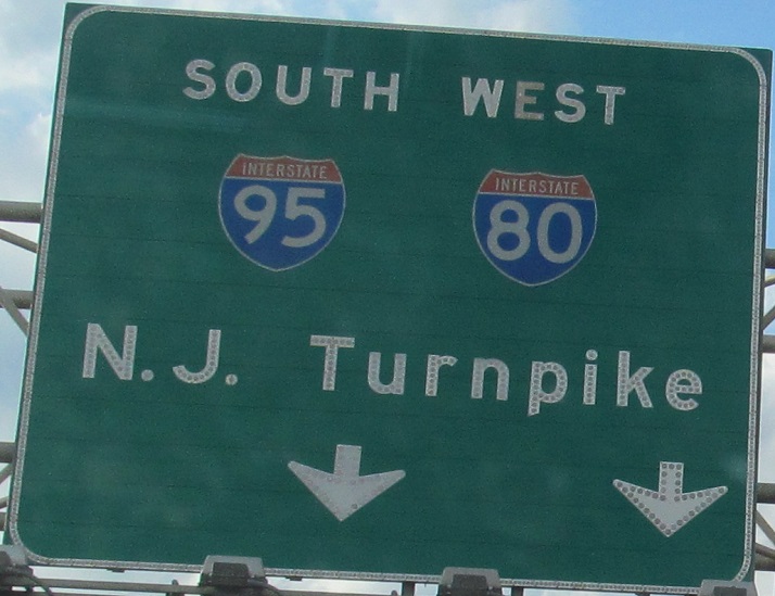
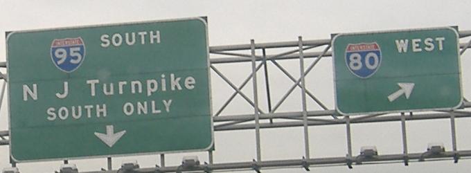
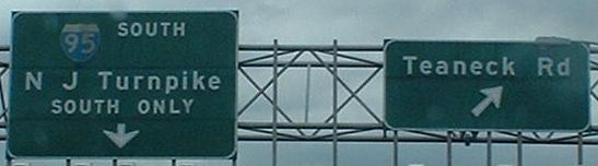
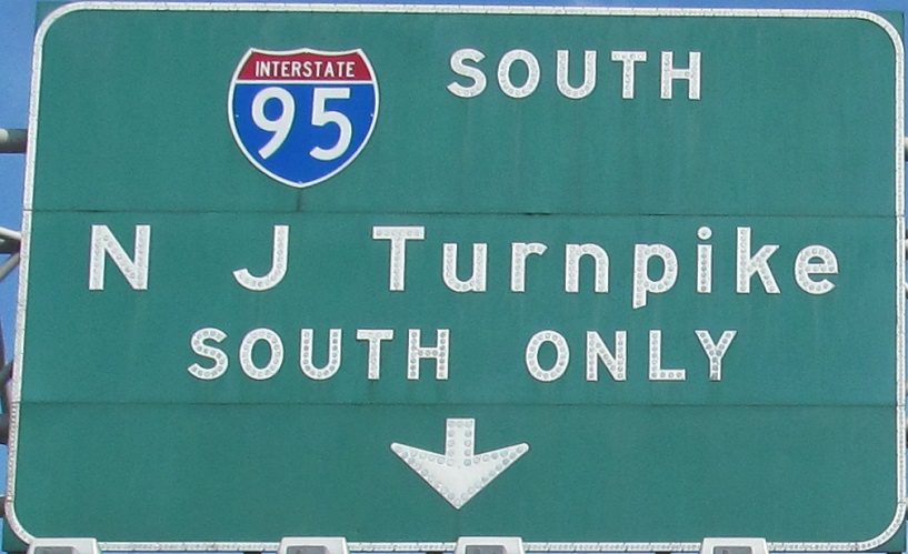
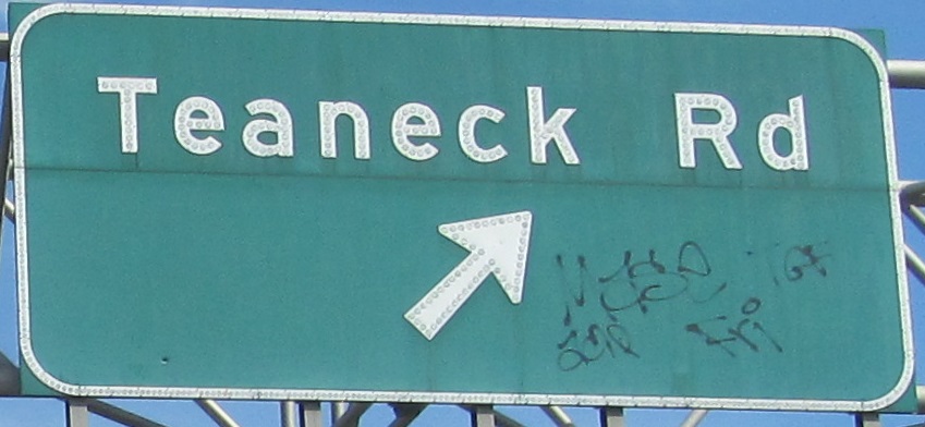
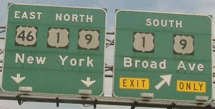
WB at the junction with I-95, right where it becomes the NJ Turnpike (Turnpike maintenance continues north from here, but that was sold by NJDOT, and is a free road). The second photo shows what is obviously a tacked-on shield, as the rest of the sign is button-copy and any other non-black-background shield I've ever seen on a BGS is either really old or really new. The 3rd and 4th photos are left and right on the same gantry. Those and the last photo are on the ramp to I-95; the I-80 WB exit actually goes to I-95 NB, but to a set of lanes that have no access to the other NB lanes until they peel off and merge with 80. The first of those two ramp photos has four arrows pointing down to just two lanes; the left BGS at least shoves the arrows close together, but sorry, Teaneck Road, you're just not that important. Since 2002 or 2003, the left entrance from US 9W to I-95 SB has been closed, and so local traffic from Fort Lee has been coming down US 46 to this very interchange, taking this ramp to I-80 WB and I-95 SB.
Until 1971, when I-95 was extended to the Bergen-Passaic Expressway (I-80), this was a trumpet interchange, and all the Turnpike through traffic went eastward on US 46 to the US 1/9/46 multiplex, then northward to the George Washington Bridge. Remnants of the trumpet include the NB-WB ramp from its overpass of US 46 to the merge, as well as the initial divergence of this WB ramp from mainline 46. Interesting tidbit: The overpass for the NB-WB loop (which passes inside the WB ramp) is still two lanes wide for a one-lane ramp, so obviously it has never been replaced. Interesting tidbit number 2: The original end of the Turnpike, including where it widened to have its final tollbooth, still has a large piece intact that's being used as a parking lot just to the south of this interchange (Exit 68), and the ghost of the original NB-EB ramp extends from there just outside the current ramp. Interesting tidbit number 3: US 46 (and 1/9/46) from here east to the GW Bridge has always been four lanes (although early on it was two undivided lanes with shoulders, restriped in the 1950's and divided shortly thereafter - thanks Adam Froehlig), so as you can imagine there must have been quite the traffic crunch, given that the Westerly Alignment had opened the year before, meaning there were eight lanes' worth of traffic from the Turnpike, plus four lanes from US 46, plus two lanes from US 1-9.
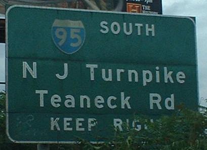
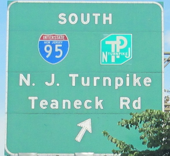
EB at the same junction, which as you can see also involves a bunch of local movements (what good NJ interchange doesn't?), and down the ramp. I'm intrigued by the fact that the clearly older (possibly original) shields are the ones without the state names, which is why I kept the old ramp photo when I retook it (last 2 photos). It's probable the two signs with the oldest shields predate the common usage of the NJ Turnpike shield.
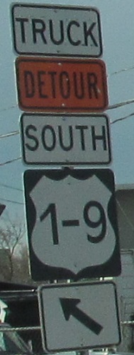
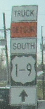
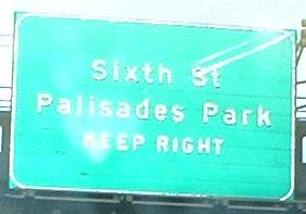
The first sign is trying, the second sign is succeeding, leading west from Broad St. (where US 1-9 join US 46) and pointing straight on US 46 at the I-95 exit. Who knows where the detour is going. Main St. to Bergen Tpk.? Why not exit here to Emerson St.?
Finishing up the EB run, including one tacked onto the US 1-9 overpass (well, really just SB 1-9, as NB turns onto the US 46 frontage road before merging). Those shields ain't quite right in the first photo.
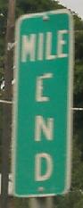
At the US 1-9 offramp is this MILE END. I'd love if US 46 actually ended here, but if anything, NJDOT considers the US 1/9/46 multiplex to be part of the US 46 roadway.
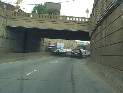
After that exit, before US 1-9 merge to start the next page eastward, the Palisades Park Jersey freeway (driveways but no at-grade intersections) that was constructed in 1930, courtesy Lou Corsaro.
Westward on US 46
East onto US 1/9/46
Back to US 46 main page
Onto NJ 20
To NJ 21
Onto the Garden State Parkway
Onto CR 507
Onto NJ 17
Onto I-80
Onto I-95 and N.J. Turnpike
Onto Teaneck Road, Bergen CR 17/39
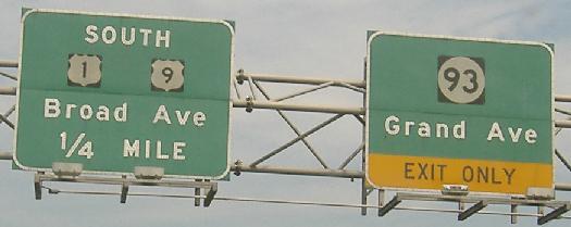
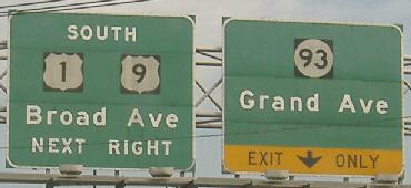
Onto NJ 93
Onto US 1-9
Onto Broad Ave.
Back to NJ Roads
Back to Roads