New Jersey Roads - US 46 - W. of Dover
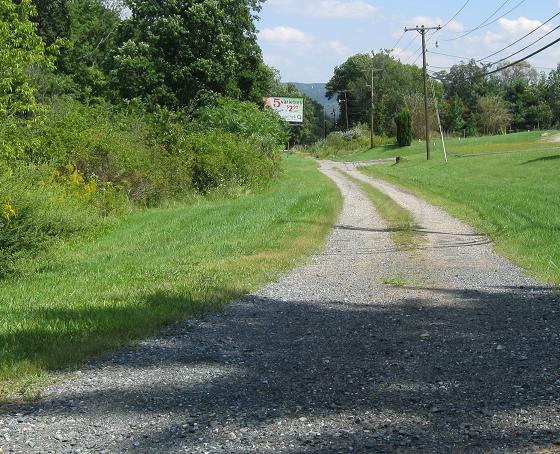
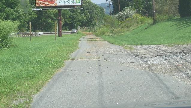
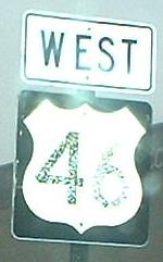 west of Dover
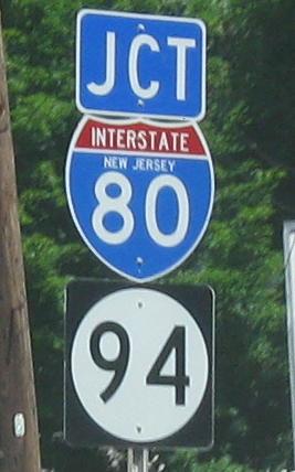
US 46 WB at the Columbia Bridge (NJ 94), just before the end of 46. US 46 and US 611 (before it became PA 611) have used that bridge in the past - there's a rogue US 611 shield still standing on NJ 94 SB (link at bottom) where it leaves US 46 EB.
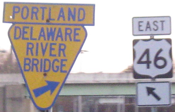
NJ 94 SB/US 46 EB. To lend it some legitimacy, US 46 begins as the ramps from I-80 at NJ 94 instead of just beginning here at the bridge. What that means is it shares these photos with NJ 94. And it's not JCT 94 because you're already on it. Remember that rule? Unfortunately, the US 611 shield is just up the ramp to the bridge which puts it on the NJ 94 mainline, so you do have to go to that page to see it.
Speaking of NJ 94, NJ 8 is the pre-renumbering designation for that highway. What happened is that this bridge was built when US 46 crossed the Delaware bridge, the stub of which is now NJ 163. US 46 was later moved to the Columbia and Delaware Water Gap bridges, now NJ 94 and I-80 respectively, and then floodwaters took out the Delaware bridge, but this number testifies that NJ 94 ran a few miles farther south once.
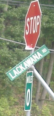
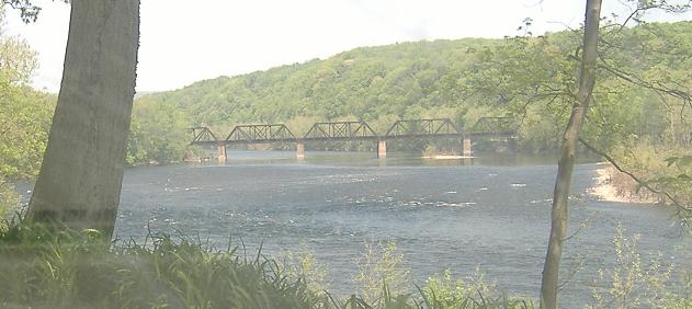
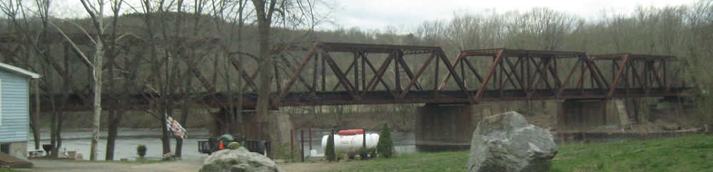
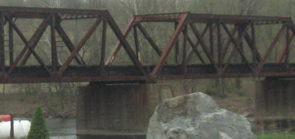
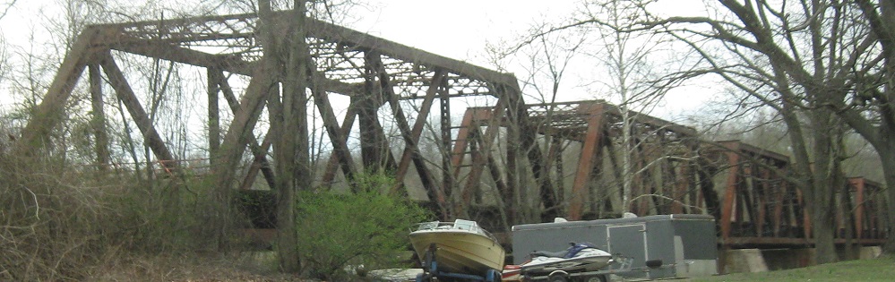
Speaking of NJ 163, this is mile 0 on what was once US 46. As you can see from the name, old US 46 ran next to a railroad straight across the old bridge - the RR bridge was rebuilt after Hurricane Diane in 1955, though.
The Delaware Bridge now, seen from the Pennsylvania side. There's no trace of the stub on the PA side of the river.
US 46 EB past the east side of the Delaware Bridge.
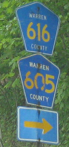
WB at Knowlton Rd., which is CR 616. CR 605 is half a block east, paralleling US 46 for a bit before striking out along Delawanna Creek.
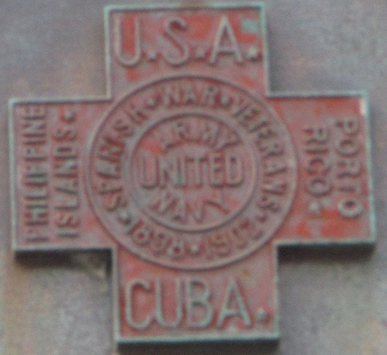
Somewhere in the westernmost stretch of US 46 is this decorative plaque that probably dates to the 1930s when this highway was designated over all of NJ 6. NJ 6 used what's now NJ 163, so it can't have been west of there.
Older signs heading north toward US 46 on Manunka Chunk Rd. (yes, it's an ice cream flavor) and then Water St. Turning left in the second photo takes you over to Manunka Chunk.
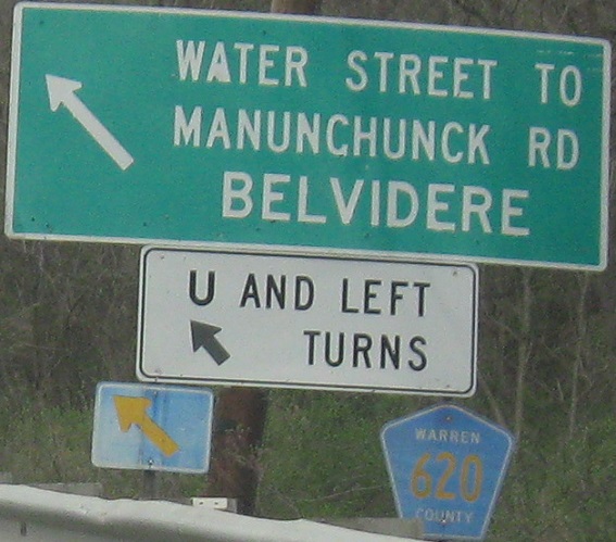
Manunka Chunk is not Manunchunck. This lack of effort is WB.

Heading the wrong way down the US 46 WB ramp to CR 618 (Sarepta Rd.) NB. I can't figure out what old road this was, unless it was just a wye for Sarepta Rd. from the original state highway.
 WB at White.
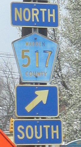
EB, with a WB counterpart, in... Warren County.

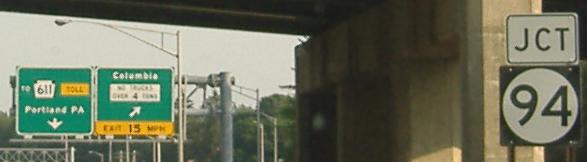
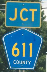
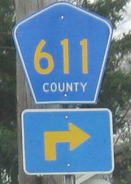
WB over a railroad just east of CR 611.
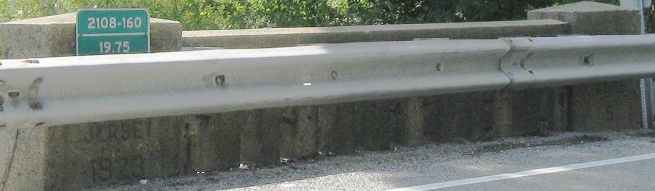
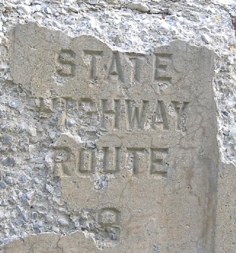
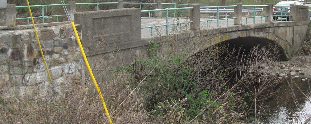
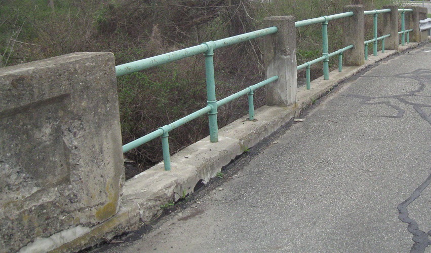
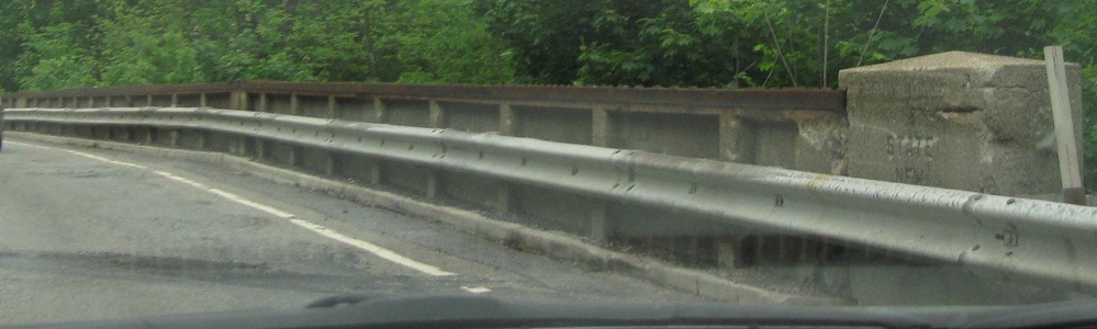
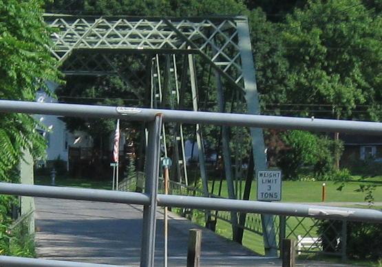
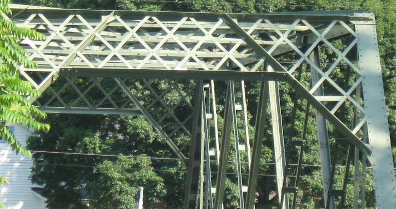
The oldest bridge on the page perhaps, predating the designations of NJ 6 and 8. NJSHR 5 was the original route from Newark to out here near Delaware Water Gap. These are at Tannery Rd.
Facing east on the original road through this area before 1923. Because US highways were not designated until later in the decade, this isn't really old US 46, but it could be considered old NJSHR 5.
 One WB view.
Entering Buttzville; the second and third photos are of Buttzville Rd. Unfortunately, the connection to US 46 has been severed, so I did not get to drive the bridge.
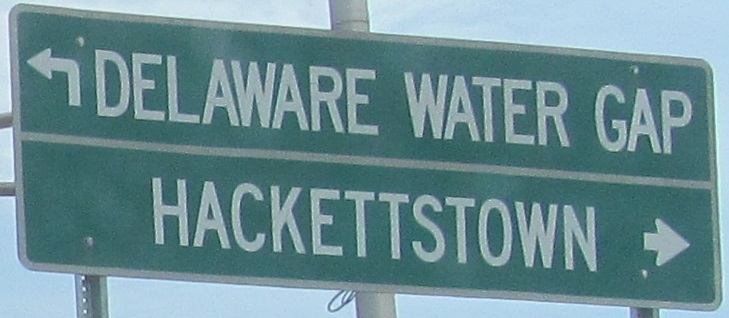
WB at NJ 182, which is a connector to NJ 57 and former NJ 24. It came about because NJ 24 was supposed to end at NJ 57, and NJ 57 was supposed to be continued eastward to the brief divided section of US 46 around Hackettstown. That bypass is very unlikely to be constructed, due to low demand and high cost, but for now NJ 57 and NJ 182 end at each other for no good reason.
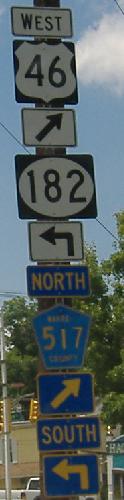
 US 46 EB/CR 517 SB in Hackettstown (517 then follows 182).
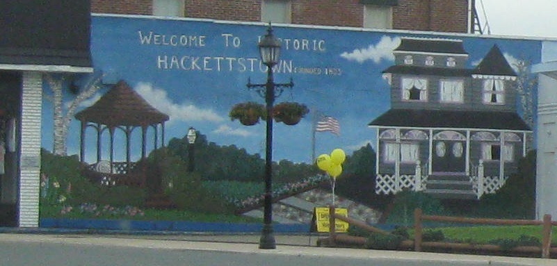
Other direction, same place, up to High St./CR 517.
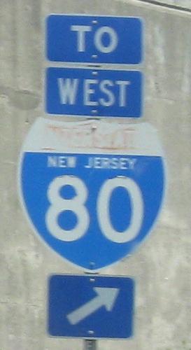
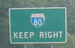
WB, west of Netcong, at the former temporary ending of I-80 that is now Exit 26 (80W-46W and 46E-80E only). This sign is really for a U-turn to US 46 EB, so it ought to be signed for both routes, especially because some traffic could come off I-80 and find a use to head east here, instead of exiting at NJ 183 and going through town.
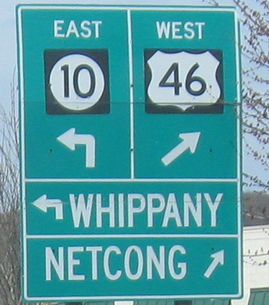
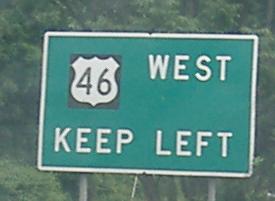
All westbound from NJ 10 toward Netcong. The last photo is just after crossing underneath I-80 past the Lake Hopatcong interchange (which did have a connection to I-80 WB). The penultimate photo is as you leave US 46 for CR 631 NB at that interchange.
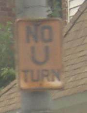
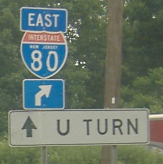
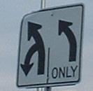 Haven't seen U-turns signed like this before, EB at the western beginning of NJ 10.
 Fill in the blank, WB in Mine Hill.
Eastward on US 46
Back to US 46 main page
Onto NJ 163, old US 46
US 46/NJ 183 circle photos on the NJ 183 page
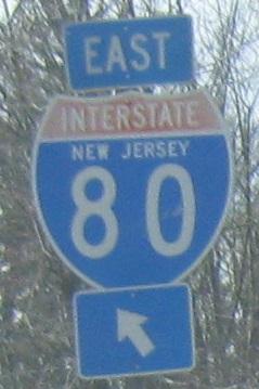
Onto I-80
Onto NJ 94
To PA 611
Onto CR 605
Onto CR 611
Onto NJ 182
Onto CR 517
Onto NJ 10
Back to New Jersey Roads
Back to Roads