New Jersey Roads - NJ 70 - East of Pinelands
 east of the Pinelands
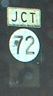
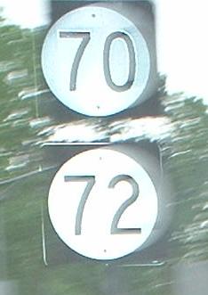
NJ 72 begins at a circle. Most things having to do with NJ 70 also have something to do with traffic circles; there are at least five of them, including the converted one at NJ 73. This shield is EB, with one of similar age WB but without the cool curved arrow.
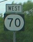
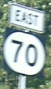
This faces WB traffic as it's about to leave the circle. There should be an EAST on top of these shields, and a left arrow on the bottom.
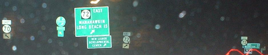
Finally, the beginning of NJ 72. There's a little bit of development on it, but it should just come to a stop sign.
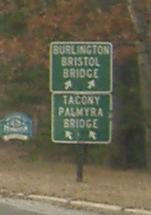
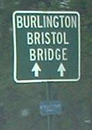
The westernmost of many Burlington Bristol Bridge signs on NJ 70, since one would take Magnolia Road here and head toward NJ 413 on many little roads. The Tacony Palmyra Bridge is NJ 73, and Magnolia Road is opposite NJ 72 and would be its continuation if not for the circle. Any questions?
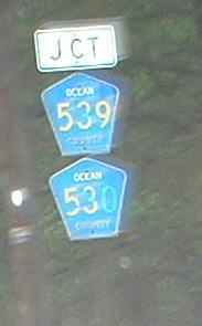
WB signage, culminating in an unimaginative road name. As you can see, CR 530 was tacked on recently.
Old alignment of NJ 70 through the Pine Barrens, at MP 43.
In one of a few circles west of NJ 37, which has its own circle, and east of the Barrens, pointing down NJ 70 WB.
From there east to NJ 37, NJ 70 is ready to be widened to four lanes. It's a small step toward giving the road its needed four lanes across the state (and finishing NJ 37 to four lanes near what's currently a circle but will ultimately be converted, I hope).
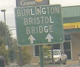
The easternmost BBB sign, WB just west of NJ 37.
NJ 70 EB approaching the Lakehurst Circle.
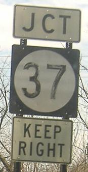
 In the Circle, at the beginning of NJ 37.
Westbound old signs (and one that's poorly drawn), first photo courtesy Scott Colbert.
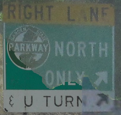
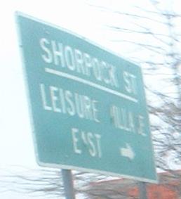
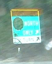
Old EB LGS's. The first, bottom left portion courtesy HNTB, is misguided in its use of "Only" and incorporates a peculiar ampersand on a unique NJ Highway Authority sign - you won't see a new one of these again. The street in the second photo is ShorRock, not Pock, but that doesn't help make the name less strange.
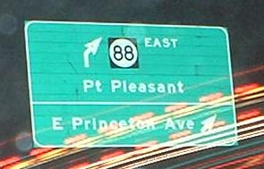
Shorrock St. NB prior to the new Parkway Interchange 88-89 opening (construction photos linked at bottom), which would result in the GSP North being straight ahead and south being to the left thanks to a passel of new ramps.
Two EB shields and two WB shields, all with the same Series A (I don't see how that can be B) numerals and non-standard county name font. The directional banners are too closely spaced, also.
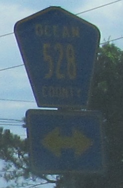
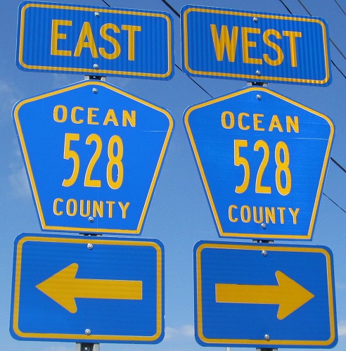
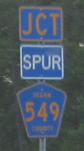
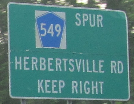
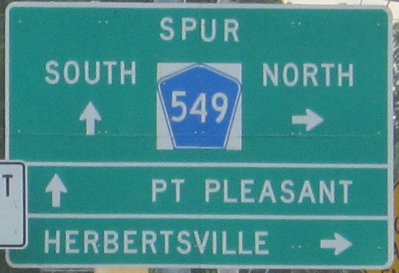
This matches a sign on nearby CR 549. See that page and the 528 page (linked below) for commentary on signage in the area.
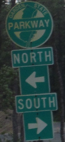
As I noted previously, opening the new Parkway Interchange 88-89 changed everything. Before, WB traffic had to turn right and head north on CR 549 to go south on the Parkway. Now, NJ 70 has direct access.
 Old LGS facing WB traffic.
Arrow's on the wrong side.
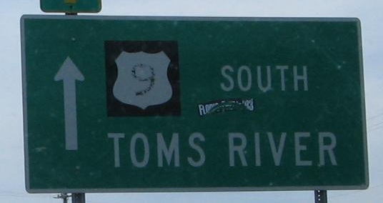
3-digit state route shields are in force around the eastern end of NJ 70 at NJ 34 and NJ 35. The first is on Burnt Tavern Rd. (CR 632) WB, which heads west from secret NJ 13, and the second is 2 minutes west from the start of the route.
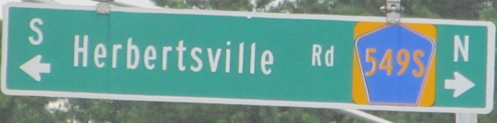
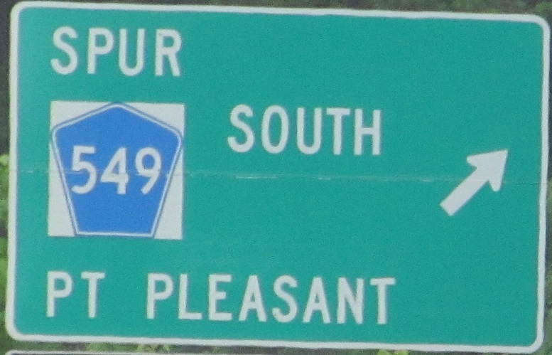
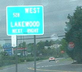
Signs now old enough to qualify for my site, SB entering Brick. The overhead sign isn't old, but it says "549S", just like the URL for my Spur CR 549 page.
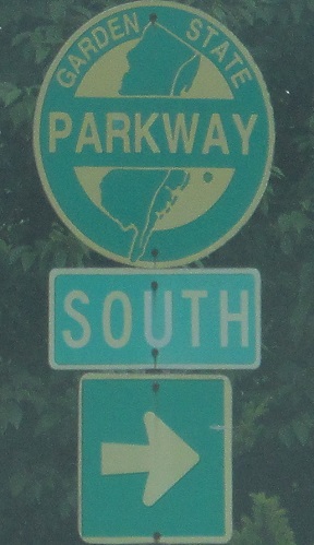
Construction at Garden State Parkway
Westward on NJ 70
Back to the NJ 70 main page
Onto NJ 72
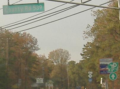
Onto CR 539
Onto NJ 37
Onto US 9
Onto the Garden State Parkway
Onto CR 528
Onto NJ 88
Onto Spur CR 549
Back to New Jersey Roads
Back to Roads