New Jersey Roads - NJ 5
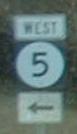
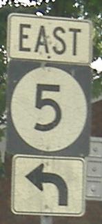
The above shield is on the side of the cliff in Edgewater, heading up a steep incline with tight curves and one genuine hairpin.
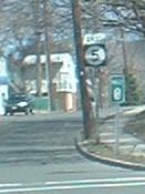
The western beginning of NJ 5 at US 1-9.

History buffs know that NJ 10 was NJ 10 before the Great Renumbering of 1953. For this to be SHR 10, yup, that's right, it's from the 1920's original state route network. NJ 10 followed US 46 into NJ 5 (that's right, 5 didn't always begin at US 1-9, aka NJ 1), and then went to the ferry dock. (Well, it followed roads that are no longer part of the state highway system, but you get the idea). NJ 5 still ends at a ferry dock, though it used to extend a couple of blocks along county-maintained River Road to the Dempsey Ave. docks instead, but now the George Washington Bridge takes most of the traffic. That is a Good Thing.
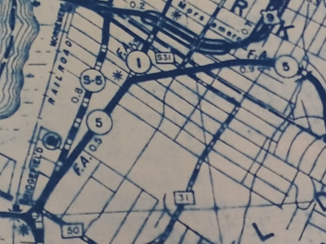
Interestingly, the 1939 NJ State Highway Dept. Bergen County map shows NJSHR 5 concurrent with NJSHR 1 back to Hendricks Causeway, which is the old route west. It certainly explains why what's now NJ 93 started life as S-5 instead of S-1-B.
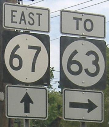
NJ 67 is a north-south road. No, this would be NJ 5 EAST, which will eventually go to NJ 67 but not quite yet. It overpasses NJ 63, hence the need for a connecting road.
NJ 5 winds its way among several different roads; as one of the earliest routes laid out, it's also one of the most convoluted. Most other routes became straighter over the years, as new alignments were built or intersection modifications performed, but not NJ 5, since once US 1/9/46 was built, 5 was already an old alignment.
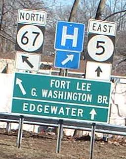
NJ 5 EB at the southern beginning of NJ 67.
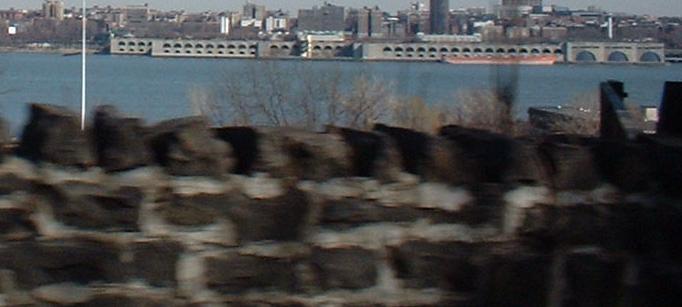
The pointy stonework adorns the steep waterside incline (there are other parts of the hill with not so great views). Across the Hudson River, you are seeing the built-up embankments of Riverside Drive and the Upper West Side of New York City, with NY 9A (Henry Hudson Parkway) in the foreground.
Onto NJ 67
Onto NJ 63
Back to New Jersey Roads
Back to Roads