New Jersey Roads - NJ 49
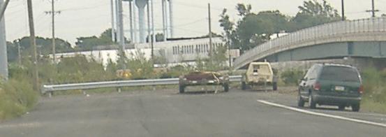
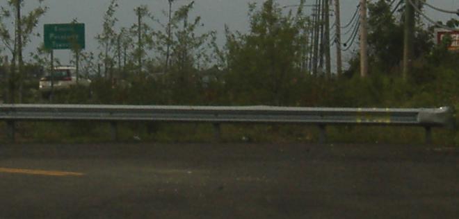
Too-small US shield EB and a state-name shield WB at the beginning of CR 551, which is a useful bypass for NJ 49 through Pennsville. Since most traffic coming onto NJ 49 from the Delaware Memorial Bridge tends to disperse within the first few miles of the road, 49 should have four lanes in Pennsville, but without the room to expand CR 551 is the best way to take through traffic out of the mix. Luckily, few people know about the road that starts just south of I-295 and usefully runs to just west of Salem.
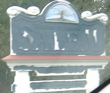
Doesn't speak well of the town...
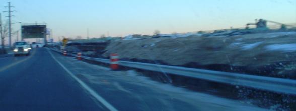
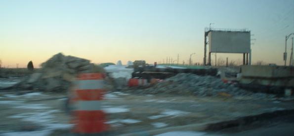
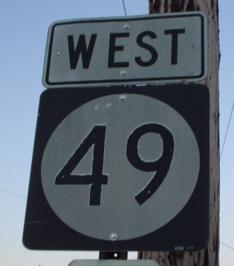
Here in 2005, NJ 49 is getting a new bridge to replace the drawbridge on the western entrance to Salem. Right now, that entrance is none too scenic, so hopefully it can be snazzed up a bit. Salem, where the shield at top was taken, is one of the bigger towns in South Jersey, and has a distinctively Southern feel to it.
Post-drawbridge photos, September 2006. The old 49 is maintained for driveway access, and the new 49 gets a strange-looking Entering Pennsville Township sign, where the EPT are twice as large and bold as the other, lower-case letters.
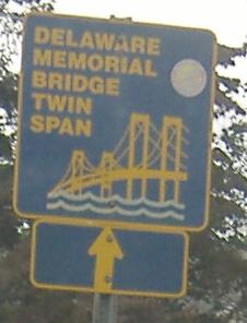
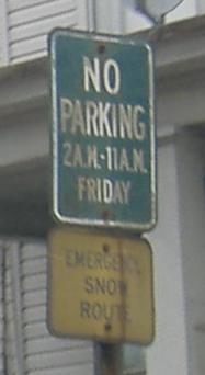
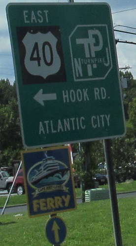
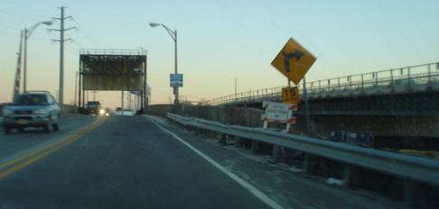
Westbound signs in Salem. Only these blue and gold signs refer to the Delaware Memorial Bridge as the Twin Span, which it has been for dozens of years but which people nowadays take for granted. Salem's green parking restriction signs echo those found in Williamsburg, but are old and embossed.
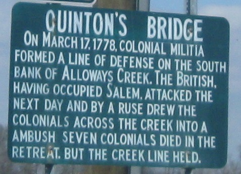
WB across what's now Alloway Creek, but Alloways wasn't an old plural or truncated possessive; the original namesake was Chief Allowas.
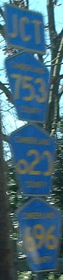
On NJ 49 EB in Shiloh, Cumberland County. It's one of those counties that has few state or secondary/county-maintained 5xx routes, so has run out of 6xx county routes and has gone into the 7's. Not always do 7xx routes get posted by counties.
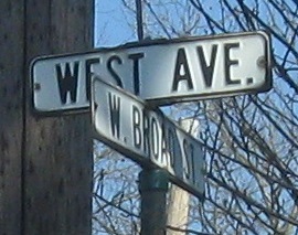
This old street sign is at CR 607 on the west side of Bridgeton. Click that in-sentence link to see the bonus old sign at the intersection.
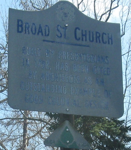
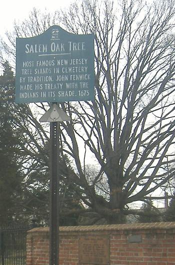
Historic historical sign with the old 1964 NJ historical marker banner.
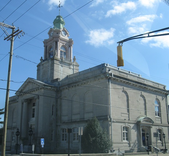
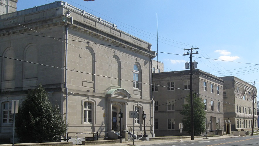
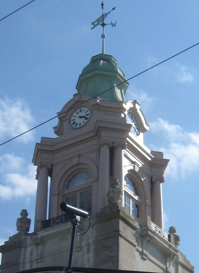
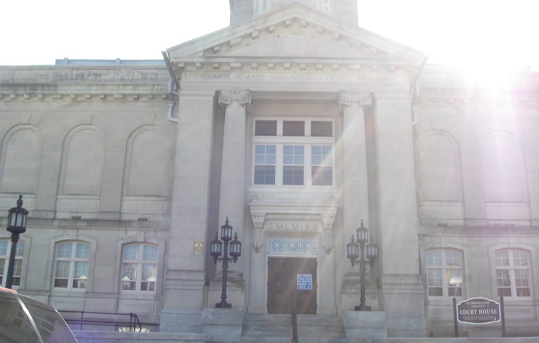
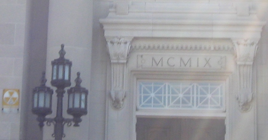
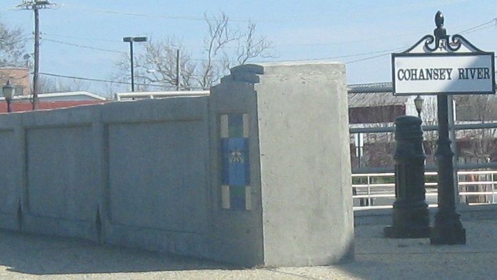
An even better Bridgeton building, the Cumberland County Courthouse. My eastbound journey through the city ends what seems to be a replica cast iron sign, but could be a refinished original, because since when would NJDOT waste money to cast an unnecessary sign? The bridge tile is certainly original.
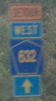
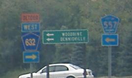
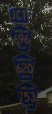
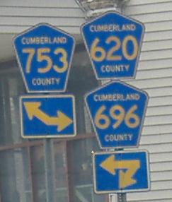
County shields heading westbound to Shiloh from the eastern end of NJ 49, except true to form, the Devil's number is reversed and was taken heading eastbound. The square-background wrong-font county-nameless CR 632 shields point to CR 617, which isn't actually CR 557 but does lead right there.
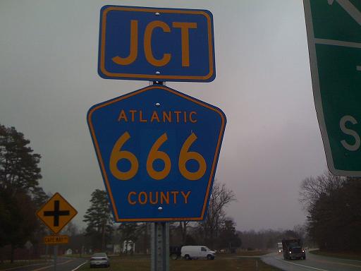
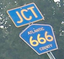
Based on William Gresham's more recent photo, the former EB CR 666 shield I had photographed above was stolen, and Atlantic County got fed up and replaced it with a patched 6x6 shield. There's more to the ongoing 666 sign saga - see the page linked below.
Onto CR 551, Hook Rd.
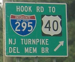
To US 40
To the NJ Turnpike
To I-295
Into Salem County
Onto CR 557
Onto Atlantic CR 666
Unbuilt NJ 49 freeway on Steve Anderson's phillyroads.com
Back to New Jersey Roads
Back to Roads