New Jersey Roads - NJ 47 - N. of Millville/CR 551
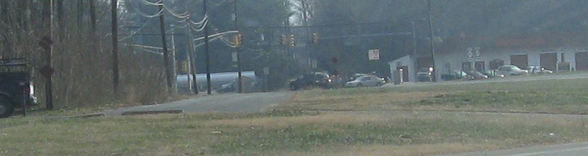
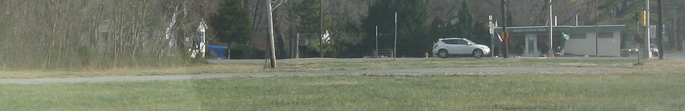
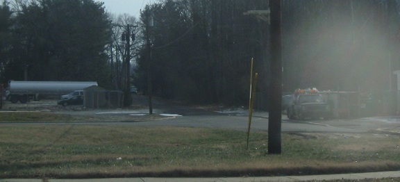
 north of Millville and NJ 47/CR 551
NJ 47 intersects NJ 55 a few times, and generally runs parallel to it, since 47 was the original way to get from Camden to the shore, and now NJ 55 is the faster freeway. This is SB, I believe at Exit 27 (about 7 miles further north than the beginning of 55). I don't know because this photo is courtesy Scott Colbert.
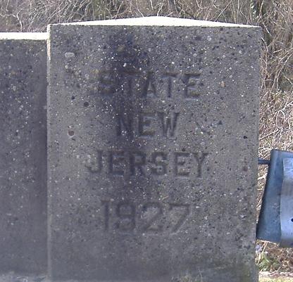
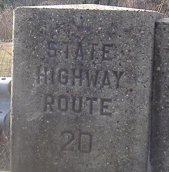
Original concrete, horizontal and vertical. SHR 20 was the original number for 47, pre-1927 (meaning this one just snuck in).
Plenty more embossed magic on NJ 47.
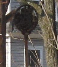
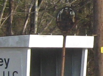
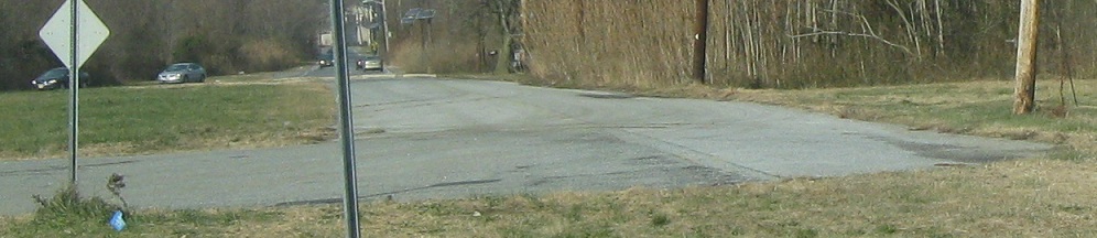
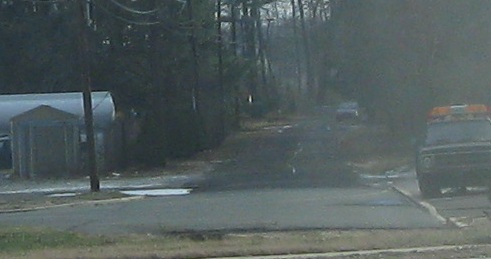
Another sort of magic is found south of Station Rd. in Franklinville along NJ 47 SB. These are the NB and SB photos, showing that there still is a bus shelter after 60-70 years of having a bus sign. There's a better-preserved version a hundred miles to the north on CR 519.
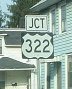
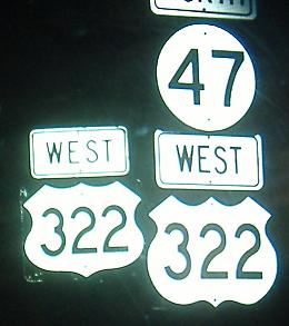
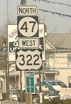
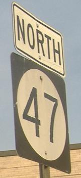
Northbound past ugly and misaligned signs and one inadequate arrow - BOOM! Tough actin' multiplexes (the second one is where 553 continues north). Click on the third photo to remove the old US 322 shield and add an ambiguous milepost (it belongs to NJ 47).
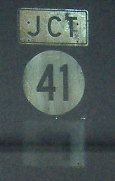
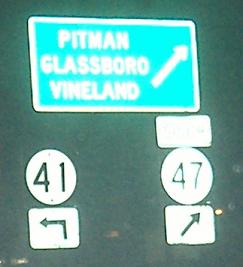
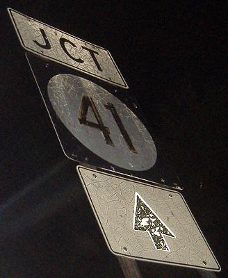
3 southbound signs. The 41 in the third photo (second southbound) is a little older than the 47, but of course not as old as the JCT assemblies (and there's a matching one on 41 SB). Not much came out on the traffic signal overhead, but you can see that the insides of the arrows are green instead of white - someone doing the CAD design forgot to fill their shape.
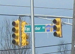
NB at the same spot. This was originally a six-way intersection, but the two CR 603 legs (Blackwood-Barnsboro Rd.) were chopped and diverted to the Egg Harbor Rd. legs (NJ 47/Delsea Dr. to the north, CR 630 to the south) to make it a conventional 4-way. CR 603 does not belong on the signal overhead because there is a jughandle to handle EB traffic that would otherwise turn right here.
Deptford Ave., Gloucester CR 646, was cut off by the NJ Turnpike, and to add insult to injury, it was rerouted and cut off a second time at NJ 47. These photos approach 47 from the west, with the old stub to the north. Now CR 646 crosses NJ 47 at a right angle instead of a minor slant.
Looking west from NJ 47 at the stub.
Here's the originally cut off part east of NJ 47, dead-ending at the Turnpike. Caulfield Ave. bends 90 degrees on the east side to pick up where this road leaves off. The new road continuing from the end of CR 646, Turkey Hill Road, makes it across the Turnpike and ends at Caulfield.
Southbound, where Deptford changed their mind as to the most important message and ended up delivering both.

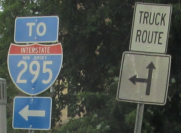
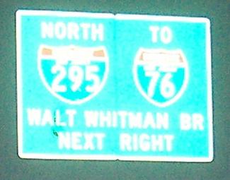
NJ 47 NB at and then joined by CR 551 in Westville. We already passed I-295, but the CR 551 and NJ 47 ramps are to I-295 NB only, so the way south is via River Dr. to US 130 SB.
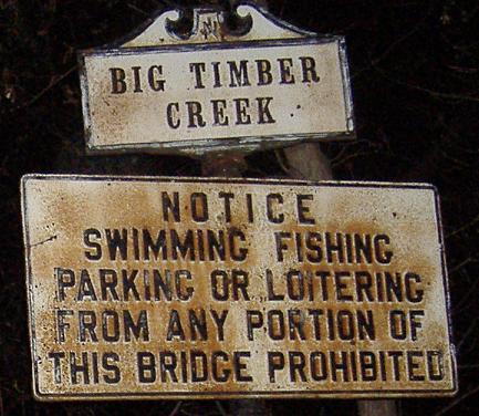
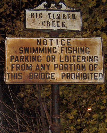
Just south of US 130, and duplexed with CR 551. First is on the north side of the bridge (SB roadway), and the second is on the south side (NB roadway).
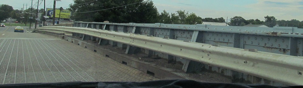
A view of the Big Timber Creek bridge, with the end of NJ 47 at Brooklawn Circle visible.
Continue on NJ 47 south of NJ 55
Onto CR 551 alone
Back to NJ 47 main page
Onto NJ 55
Onto US 322
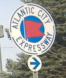
To the Atlantic City Expwy.
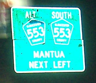
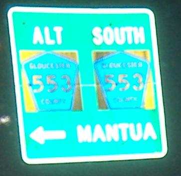
Onto CR 553
Onto Alt. CR 553
Onto NJ 41
Onto CR 603
Onto I-295
To I-76
Back to New Jersey Roads
Back to Roads