New Jersey Roads - NJ 3 WB
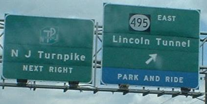
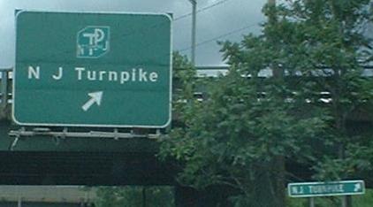
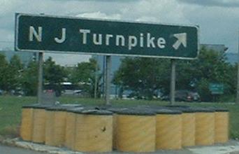
Starting from the little dangling participle that ends NJ 3 at US 1-9, the first photo is the other side of the same gantry as the END 3 sign on the eastbound page, and the other two are heading back toward the NJ 495-traffic merge from the Lincoln Tunnel. Man, there are a lot of signs for N J Turnpike. He must have been very influential.
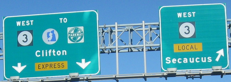
The first sign is on the ramp from NJ 495, meaning that while EB traffic to US 1-9 must use the frontage road, WB traffic from 1-9 must merge with the freeway, since the only local road exit comes from 495. The next two signs are the left (Express) and right (Local) sides of the same gantry. The final sign is the most interesting one, though. It says to Keep Right for something, and if you look closely, there are two upside-down destinations - Livingston and Madison. Draw a line connecting the two towns, and you only cross one freeway - NJ 24. I have two possible locations for this sign. It could have been the original advance for Exit 7, where everything is signed for Chatham and not Madison... or it could have been the original advance for Exit 5, constructed but never opened. That was planned Triborough Road. Check out the links in this paragraph for some very interesting photos and information, and click on the last photo for a closeup.
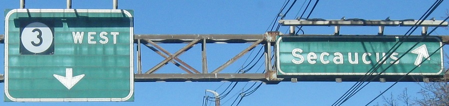
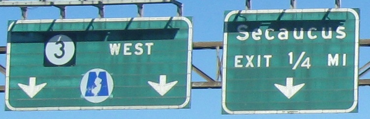
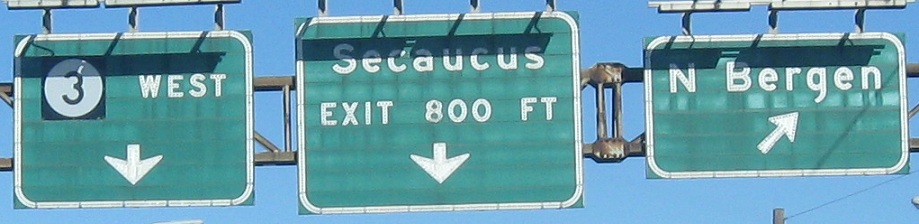
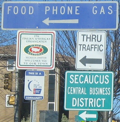
Finishing up the Secaucus run; if you analyze the trusses closely enough you'll see that these are two different service road ("local" lanes) assemblies that just happen to look identical. The off-font construction sign snuck into the mix in 2011.
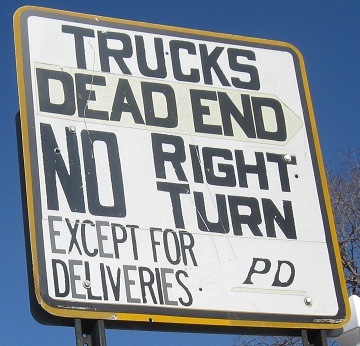
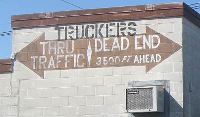
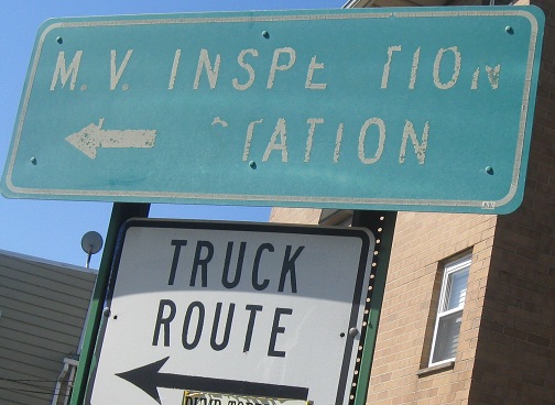
Ramp signs on that Secaucus exit to Paterson Plank Rd. You know you have a problem when the police are handpainting signs on state property and even a building owner pitches in to help. A long time ago, there was a bridge over the Hackensack River if you turned right, but that was a long time ago before most current truckers were even alive.
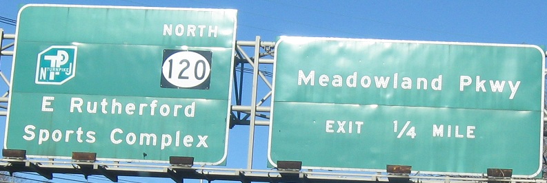
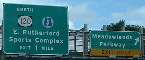
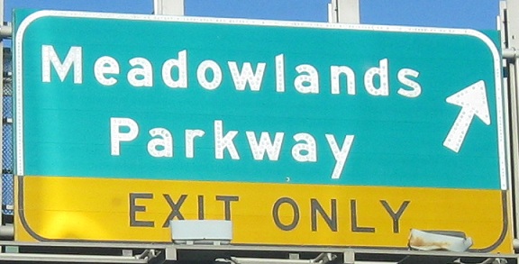
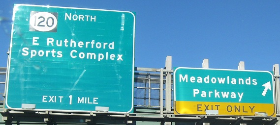
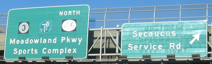
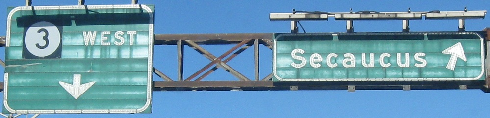
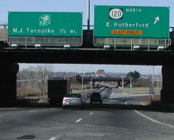
It appears that a Meadowlands shield fell off the first photo; you can see the new one in the second photo (there's an old gold-on-blue one on the eastbound side, around NJ 21). The first one is also missing a distance to NJ 120 and the Turnpike, which as you can see should be 1¼ MILES; at the very least, something should mention that those routes are accessed by an offramp, and are not the new mainline routes. Notice that the street name at the last exit has changed from Meadowland to Meadowlands. That's probably because of the famous sports complex to the west. With construction of the new Xanadu complex that remains unfinished as of 2011, the NJ 120 sign was replaced with something a lot worse - click either of the last two photos to see it. Even if Xanadu fits well into the quite large space reserved for it, there are horizontal and vertical alignment issues on the top of the sign, and the whole thing is in terrible condition for a new sign.
An earlier sign at the exit to NJ 120 that featured old VMS with reflective dots and likely also button copy, courtesy Chris Mason.
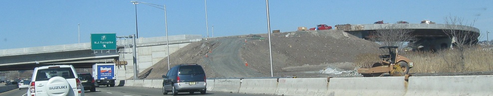
To try to get Turnpike traffic into the Meadowlands more easily and reduce mainline backups, the original trumpet interchange has been reconstructed with a direct ramp in. The new ramp rising up and curving now carries Turnpike traffic to NJ 3 WB over the Meadowlands access.
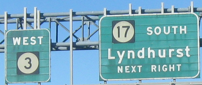
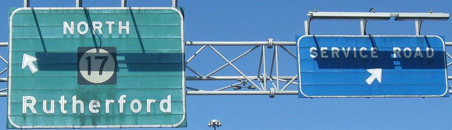
Follow the NJ 17 NB exit in the first photo, and you'll come to the split in the second photo. Take the service road exit and you'll come to the last photo, which is courtesy HNTB Corporation.
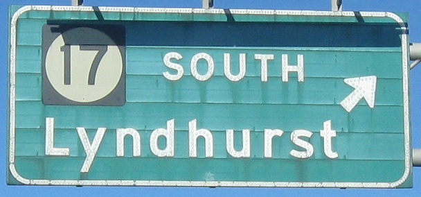
If you've visited the eastbound page, you'll note that the corresponding BGS has NJ 17 on it. That's because 17 South traffic was supposed to only use the loop ramp a little while ago, so poo on you if you missed it.
Also on the eastbound page is a counterpart to this tiled inlay, one that hasn't desiccated from the middle out. The overpasses here in Rutherford date to 1948.
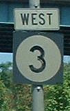
Just like modern shields on I-280, these old ones don't tell you which county you're in.
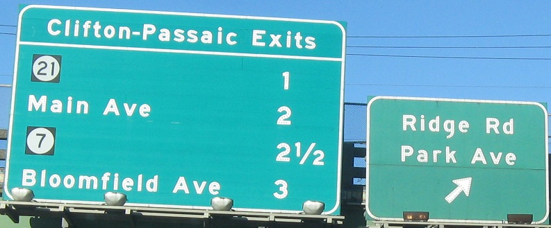
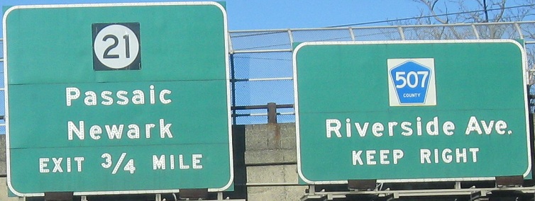
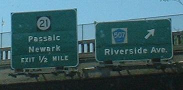
The second BGS is on the ramp to NJ 21.
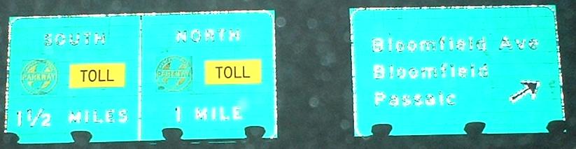
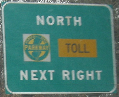
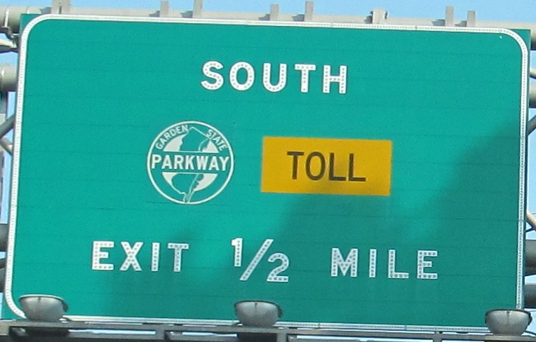
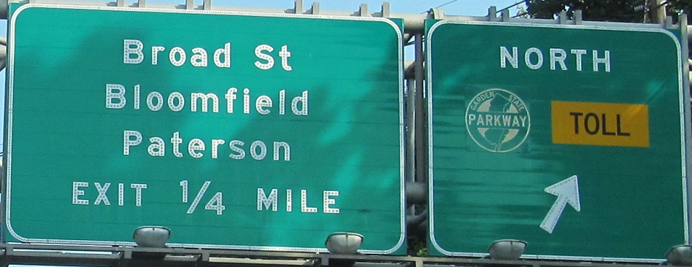
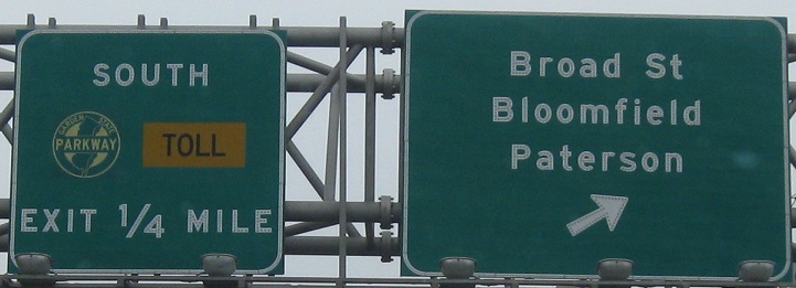
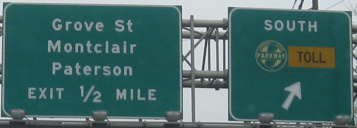
Notice the white background for the GSP shield - many BGS's, especially older ones, have a yellow one, and as you can see, others have it as green to blend in.
The end of NJ 3, where three lanes merge into two, and then those two merge with two from US 46, creating hellish backups from about 4 PM to 8 PM every weekday evening, and other sundry times as well. This area is due for a rebuild, which should also help with Valley Road confusion - right now, a US 46 WB exit for Valley Road merges with NJ 3 WB after it passes under the bridge in the background, and then the exit leaves 3 on its way down to Valley. To add confusion, there's another Valley Rd. exit about 200 feet further west! And you can not only turn right or left from the latter one, but even though traffic is forced to turn right from the 46-3-Valley ramp, it can U-turn by using part of the second exit! The first two photos are left/right on the same gantry.
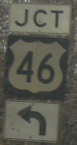
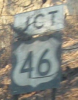
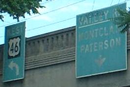
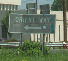
Closeups of the signage in this area, including shields on both sides of the road and the old nonreflective LGS serving time as a BGS. This was done by NJDOT on highways not considered full freeways, including US 46 and NJ 4. The overhead LGS's are gone now.
Rutherford/Passaic River construction
Over to the EB lanes
Service road and other misc. photos
Back to NJ 3 main page
Onto NJ 495
To Secaucus or N. Bergen (Paterson Plank Rd.)
Onto the NJ Turnpike Easterly Alignment
Onto Meadowlands Parkway
To the NJ Turnpike Westerly Alignment
Onto NJ 120
Into the Meadowlands Sports Complex
Onto NJ 17
Onto CR 507
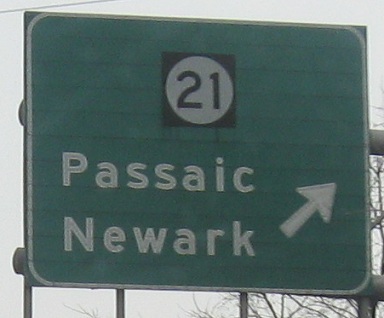
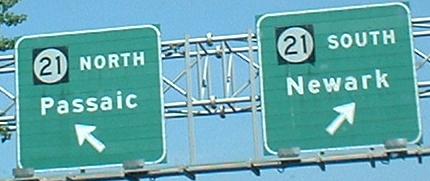
Onto NJ 21
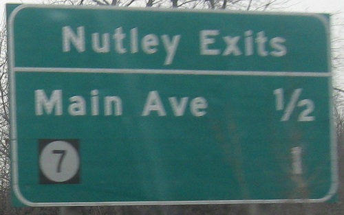
Onto Main Ave.
Onto NJ 7
Onto the Garden State Parkway
Onto Broad St., CR 509
Onto US 46
Back to New Jersey Roads
Back to Roads