New Jersey Roads - I-295 - Cherry Hill-US 1
 , Cherry Hill to US 1
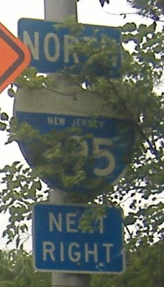
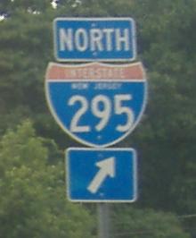
This and the shield above are both on Creek Rd. EB. Both are state-name shields, but this one is original to the opening of the freeway - it has survived by camouflage.
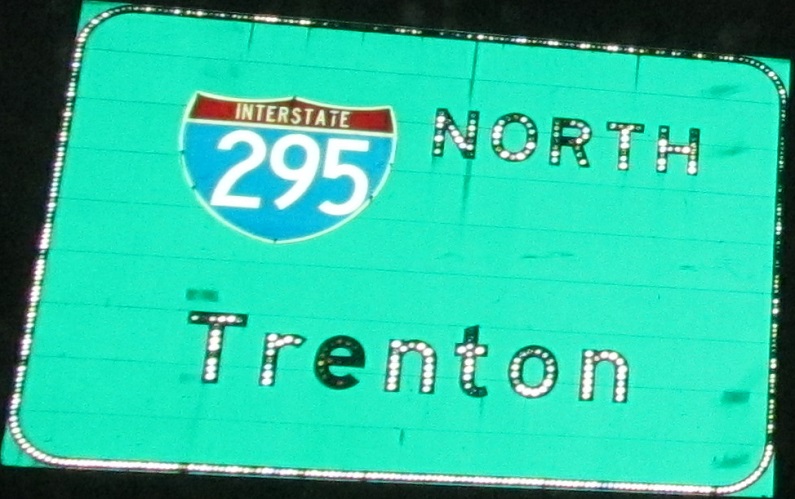
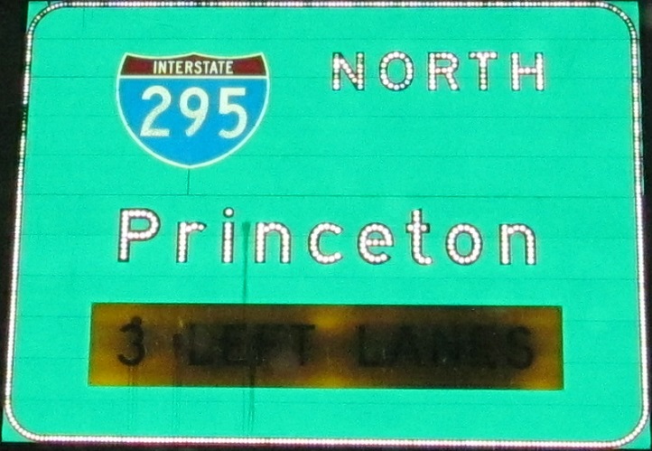
I decided to give you nighttime versions of my older daytime photo, all NB.
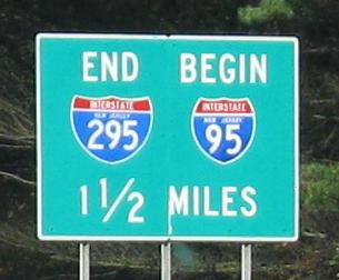
The remaining NB photos on the page; I trimmed the 4th photo to just the button copy for your pleasure. Yes, that's right, I-295 North just ended at I-95 South, in that last photo courtesy Doug Kerr. This is how traffic looking for an all-freeway route between the two I-95's might be going. Once I-276 and I-95 interchange in PA (2012 was planned, 2018 happened), I-295 should turn from North to West here, then South at the PA border, and then flow into I-95 south at I-276. However, it now stays North to the border, with the excuse that NJ couldn't advance exit numbers in the "wrong" direction, and then it is West in PA despite being due south.
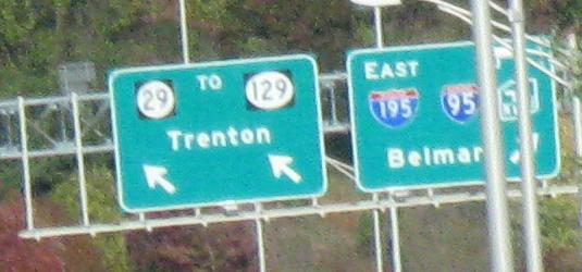
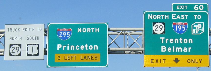
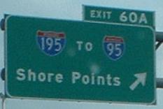
On the NB Exit 60 ramp, the left sign may be button copy. The message of "TO 129" certainly dates from the button copy days, but I've never taken the ramp to find out.
All remaining photos are southbound.
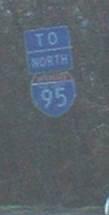
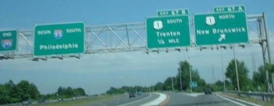
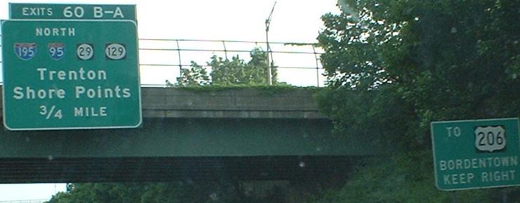
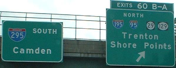
Once the Somerset Freeway was cancelled (see I-95 for more on that), I-295 was pulled back to US 1 and I-95 was extended there. You would think that meant NJ wanted I-95 through traffic to follow US 1 to, say, I-287 to the NJ Turnpike, or the approximate route of the intended highway. But no, they want I-95 NB to follow I-295 southbound and I-195 EB, at least until PA gets up and builds the I-95/I-276 interchange to allow a smooth routing into the Turnpike at Exit 6. So, yep, this sign to I-95 NORTH is on I-295 SOUTH.

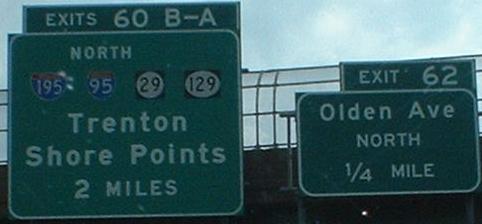
EXIT 63, RT 33, TRENTON. A VMS subbing as an exit sign.
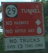
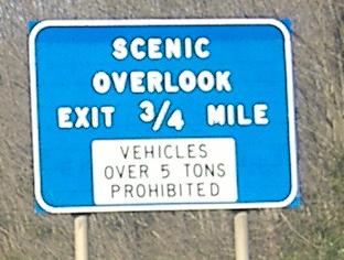
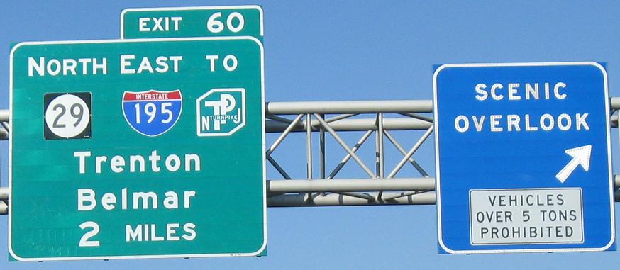
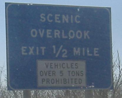
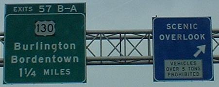
Ooh, a BRS. Referring to the new NJ 29 tunnel in Trenton, this is over 2 miles from the exit, and should have an EXIT 60 added to the sign.
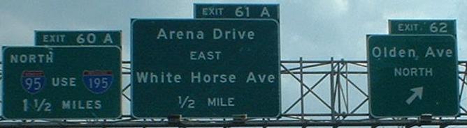
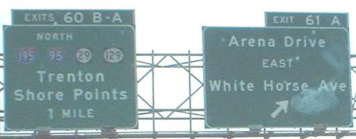
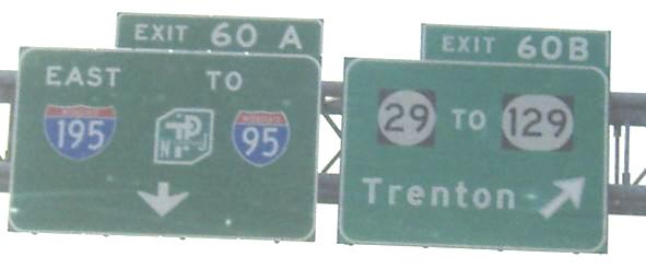
Awww, look how teeeeeeeny those shields are! It's not easy to fit I-195, I-95, NJ 29, and NJ 129 onto one sign. Note that I-95 NB traffic is routed on I-195 EB, in its unfailing quest to turn northward once again. The last two photos, with grownup shields, are on the C-D road serving the SB side of the interchange.
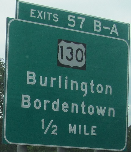
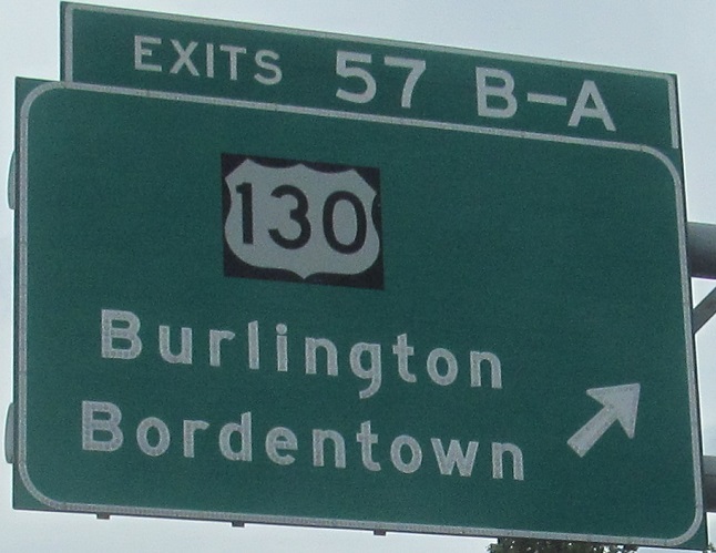

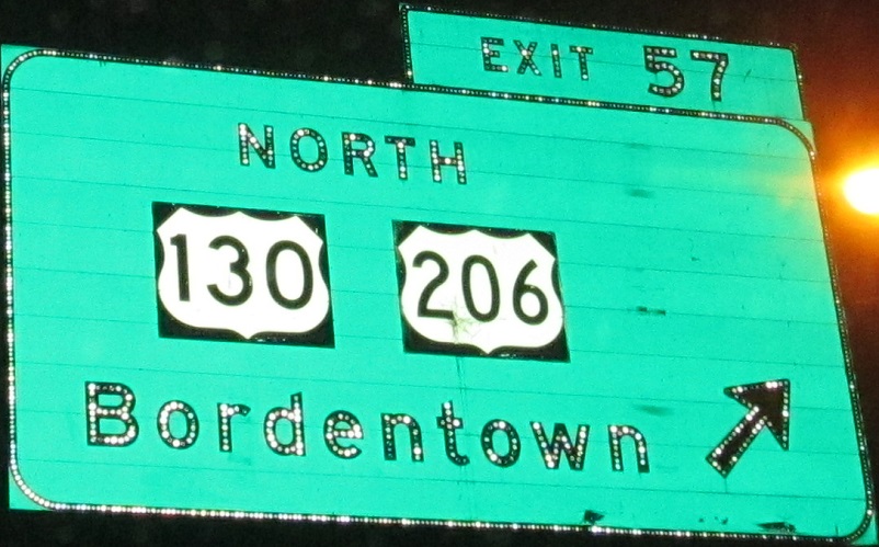
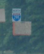
The last shot shows where the shield at the top of the front page is found. It could date from as long ago as I-295 existed south of Exit 57; the original freeway segments to open became part of US 130 until I-295 was designated, and due to some routing changes, there exists some standalone US 130 freeway as well as one long multiplex where I-295 is riding directly above what once was a surface road (freeway was upgraded on the spot to US 130). The part the above signage is from, between Exits 57 and 60, took a long time to build due to environmental impacts. The interchange at Exit 60 is actually built entirely on piers for this reason. The original exit tabs that must have read "Exit 57" were replaced before I got here.
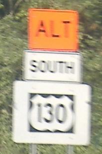
Oversized novelty contractor shield. Yes, I-295 is Alt. US 130. It's the, um, Trenton-Pennsville Bypass.
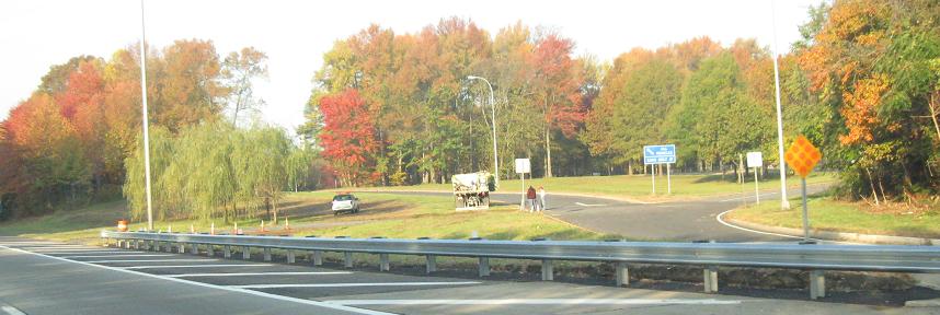
This rest area north of Exit 47 was just closed. And it's a great excuse for a fall foliage photo. And you can try saying that three times fast.
 Non-cutout detour shield for U-turning at Exit 45A.
Continue north on I-295/former I-95
Head south on I-295 SB
Head south on I-295 NB
Back to I-295 main page
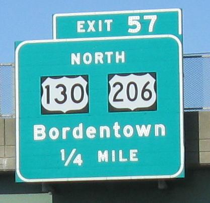
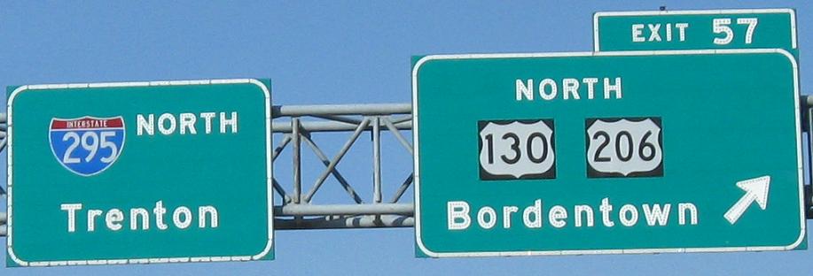
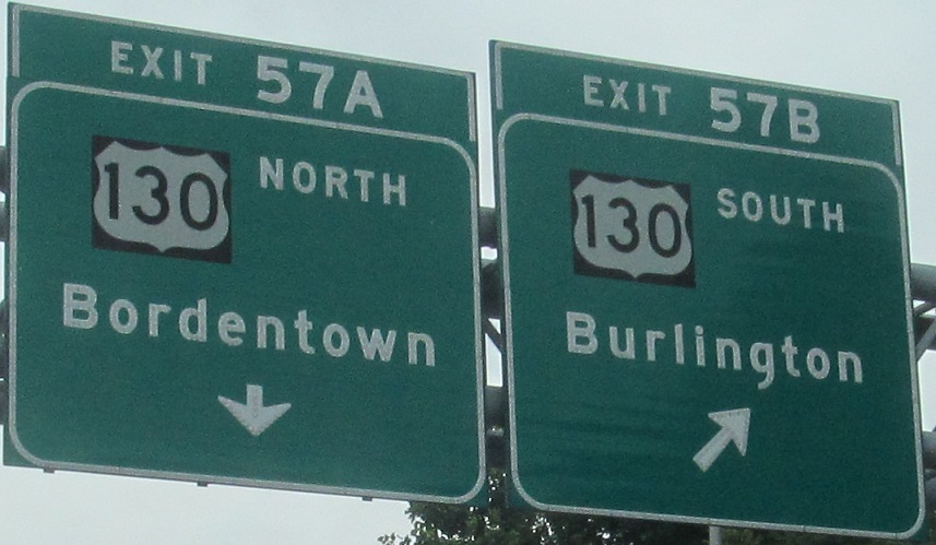
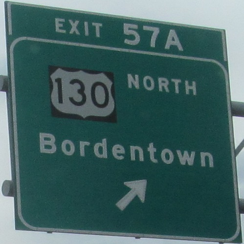
Exit 57 to US 130
Exit 57 to US 206
Follow I-95
Exit 60/60A to I-195
Exit 60/60B to NJ 29
Exit 60 to NJ 129
Exit 63 to NJ 33
Exit 67 to US 1
Back to New Jersey Roads
Back to Roads