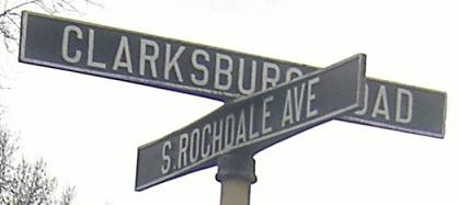
New Jersey Roads - CR 571, 571/526
 and CR 571/526
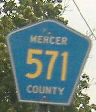
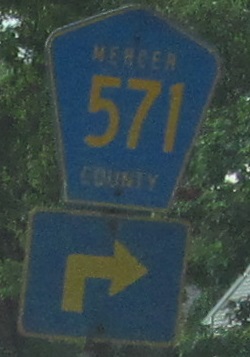
Oh yeah, that shield is EB. Because Mercer County cares.
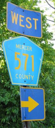
Mercer Co. seems to care more when CR 526 isn't around. Courtesy Scott Colbert.
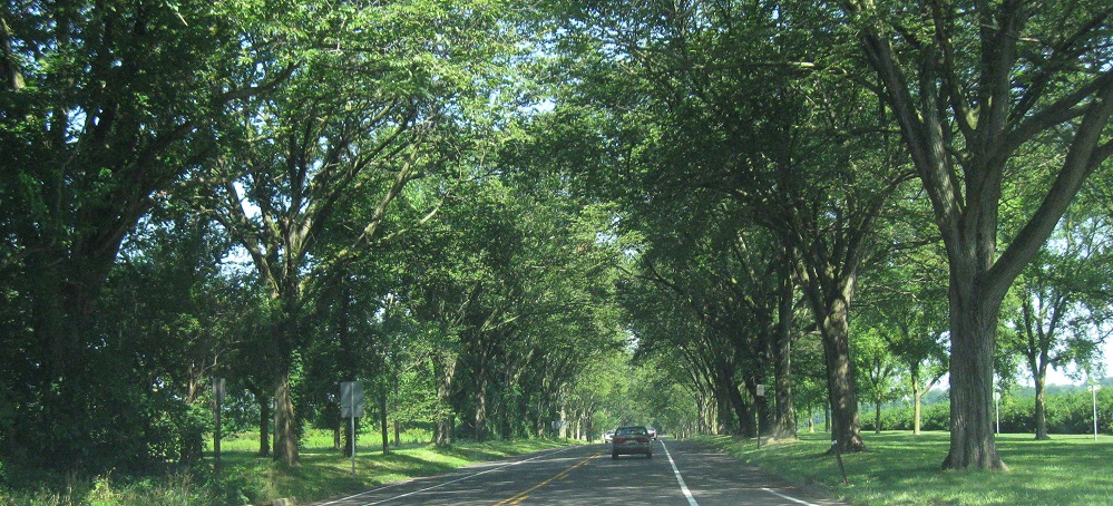
Tree tunnel approaching Princeton (WB).
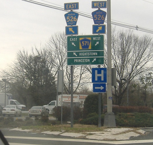
If this WB sign portrays CR 526 as an afterthought, that may be because it's officially not here. NJDOT considers CR 526 to end at the east end of this signed concurrency from the Straight Line Diagrams but CR 526 historically followed CR 571 to Princeton, so you end up with cases like this where the DOT only signed 571 and (the county?) later added 526.
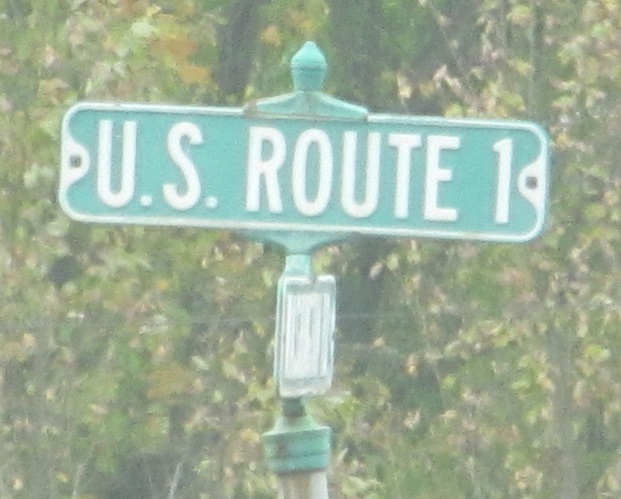
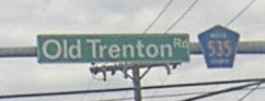
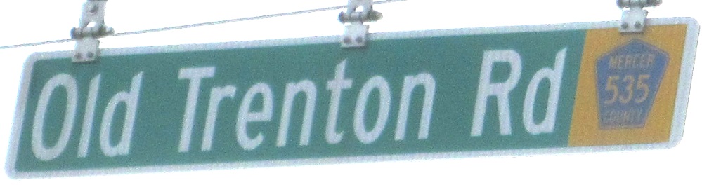
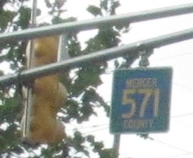
Old county trapezoids just east of the semi-converted circle at US 1.
Another one, westbound.
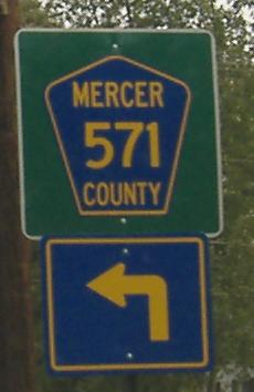
Where a shield would suffice, an LGS is overkill. This is EB on CR 571/CR 526 at NJ 64. If CR 526 still goes this way. And there should be no SOUTH in there at all.
Skipping NJ 64 (visit that via the link at the bottom), these are westbound just before 64 begins in Princeton Junction.
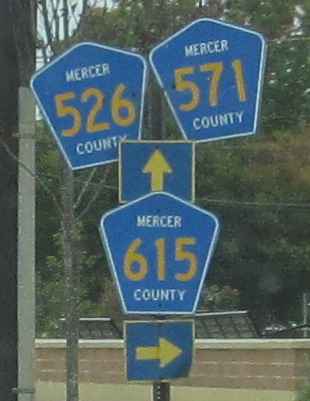
WB again, compiled from recycled 6xx shields that just happened to each have the same last digit. Not very convincing, Mercer County (as if the directional signage were).
My previous caption complained about shields next to street signs in the first WB photo, typical on all approaches. They replaced it with the second photo, and now I miss the shields next to street signs.
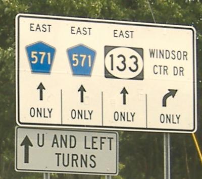
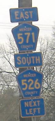
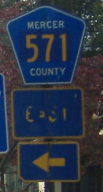
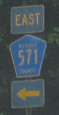
Holy EAST, Batman! Finally a direction is attached, though it's not the one you'd expect, because CR 571 changes directions a few times. EB at the beginning of NJ 133, the demi-freeway (lights at both ends) that loops around Hightstown to NJ 33. Since it's Mercer County, this unique lane assignment sign lacks county names in the shields, because pobody's nerfect in Mercer!
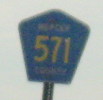
This is at the One Mile Rd. signal. Yes, 571 is in a pentagon, but the sign doesn't give it much room to breathe.
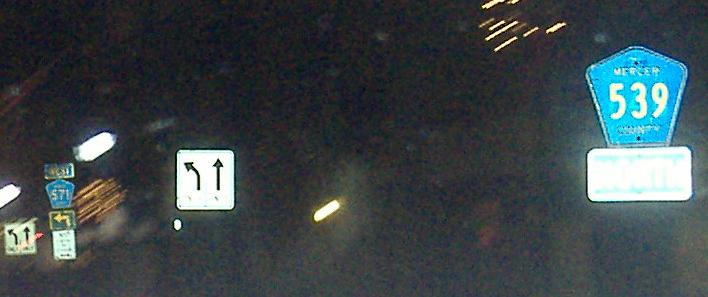
CR 539 NB/CR 571 WB join NJ 33 EB, but I don't see any shield for the latter.
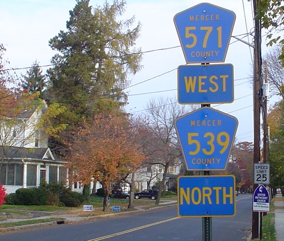
 In need of replacement, leaving CR 539 SB.
Even though the signs are new, I'll still say the same thing in the other direction, courtesy Lou Corsaro.
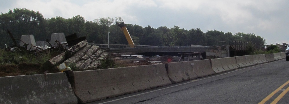
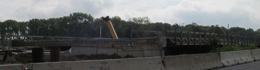
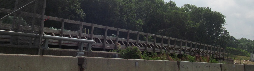
Heading east over the NJ Turnpike during its widening from two 3-lane roadways to four 3-lane roadways. That'll need a new bridge for CR 571, being built to the north.
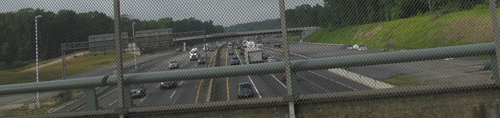
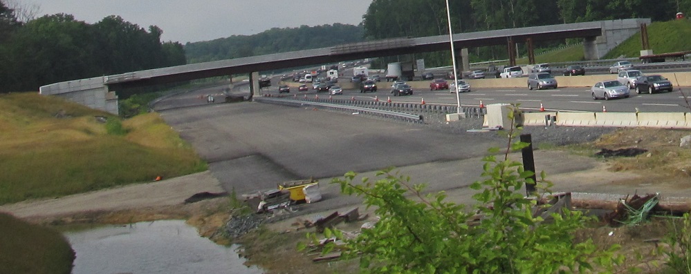
Looking south at the ongoing widening toward a new maintenance U-turn.
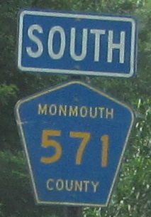
CR 571 makes a couple of turns and enters Monmouth County. The directionality of the route remains largely east-west, but Monmouth chooses to follow the rule of odd numbers north-south.
CR 571 WB turns right here.
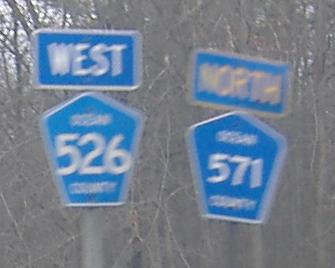
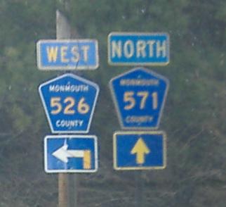
Westbound through the second signed and probably the only official CR 571/526 multiplex. CR 571 really should be east-west here, but given the diagonal nature of the route I don't care so long as direction is signed consistently (or at all, if you're Mercer County).
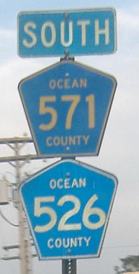
Still being wrong, EB on the second multiplex, where at least 526 is not SB.
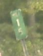
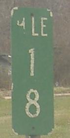
Old, non-reflective milemarker, east of CR 537.
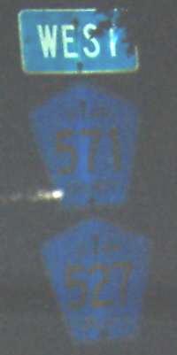
Old shields don't reflect well. This is also here to point out that CR 527 never travels west, though CR 571 does despite its number.
EB at some small and faded shields.
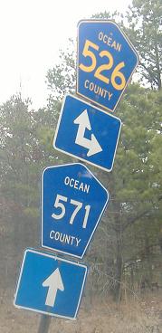
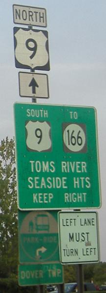
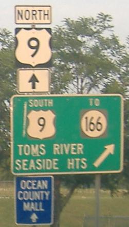
1960's-era westbound stuff near Toms River.
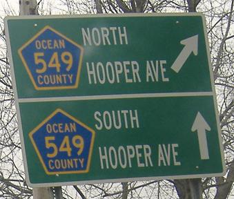
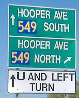
The commentary for this signage is on the CR 549 page (see link below). Clearly there's enough room on this size sign to fit two pentagons instead of two squares, as ugly as those pentagons may be. The squares are quite effective, actually, even though I shouldn't be liking them.
Onto CR 526 alone
Onto NJ 64 with CR 526/571
Spur CR 549 and CR 571/Spur 549
CR 571 Detour photos on the CR 528 page
Onto CR 615
Onto CR 535
Onto NJ 133
Onto CR 539
Down to the NJ Turnpike
Onto CR 527
Onto US 9
To NJ 166
Onto CR 549
Back to New Jersey Roads
Back to Roads