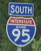
Before I even get to Maine, this relic shield is in the state's closest relative, Massachusetts. (They were a single state in the early days of the Republic.)
Click to drive north across the Piscataqua River Bridge from NH into Maine.
Entering Maine in 1976, courtesy Michael Summa. Maine's traditional font still graces the MILE and EXIT numbers (that was an experiment shared by Rhode Island, among other states, but RI has eliminated the last traces of the dual system along I-295 (click and you'll still see them). Michael Summa says this font is LeHay. All I know is, you can't order it for your highway signs anymore.
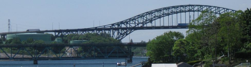
The Piscataqua River Bridge, I-95's crossing from New Hampshire, seen from US 1.
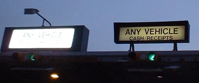
I-95 used to run along a small part of the Maine Turnpike (most of it was I-495). Now the entire Turnpike is I-95 in a fit of thoughtfulness by MaineDOT. Notice the old tollbooth overhead; it exists in both directions over the middle lane of the southern mainline plaza.
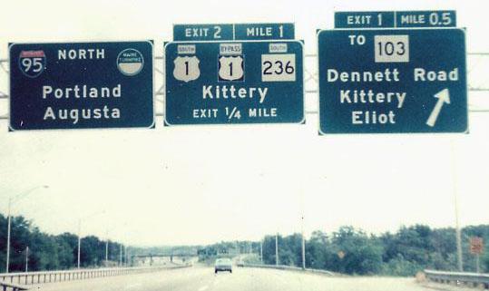
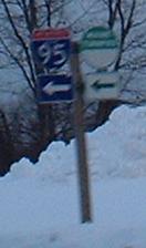
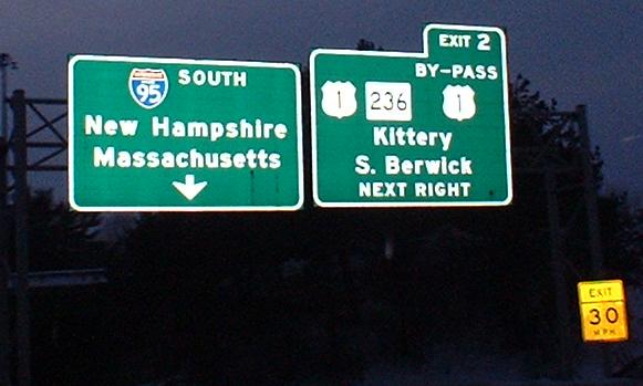
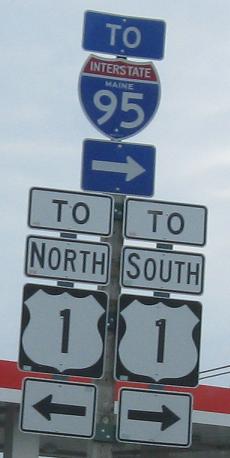
There used to be two Exit 2's on I-95, this one (SB) for By-Pass 1 and one on the ME Turnpike. But now the Turnpike uses mileage-based and not sequential numbering, so there is no more Exit 2. There still was duplication of other numbers, though, until the entire state went mile-based.
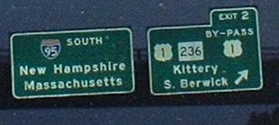
Cropped to only the old signs, NB at Exits 1 and 2.
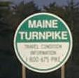
A typical Maine Turnpike shield, except I don't think most of them have travel condition information phone numbers in their lower halves. Courtesy HNTB Corp.
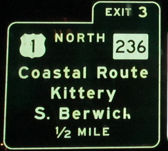
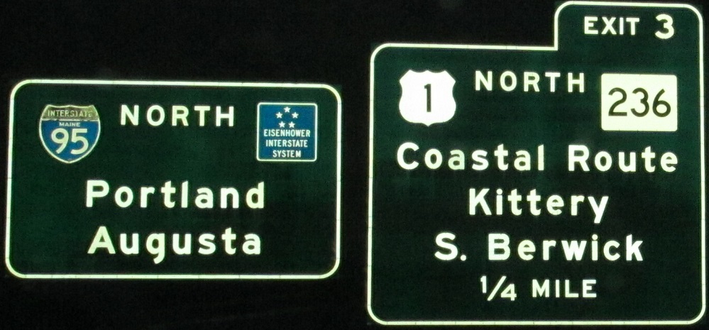
This sign suggest the Coastal Route is an alternative to I-95, the Maine Turnpike and the implied Inland Route. Believe me, not only is the Coastal Route much longer and slower, but it manages to be even less scenic despite the fact that it hugs the ocean. Courtesy Doug Kerr.
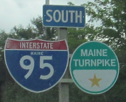
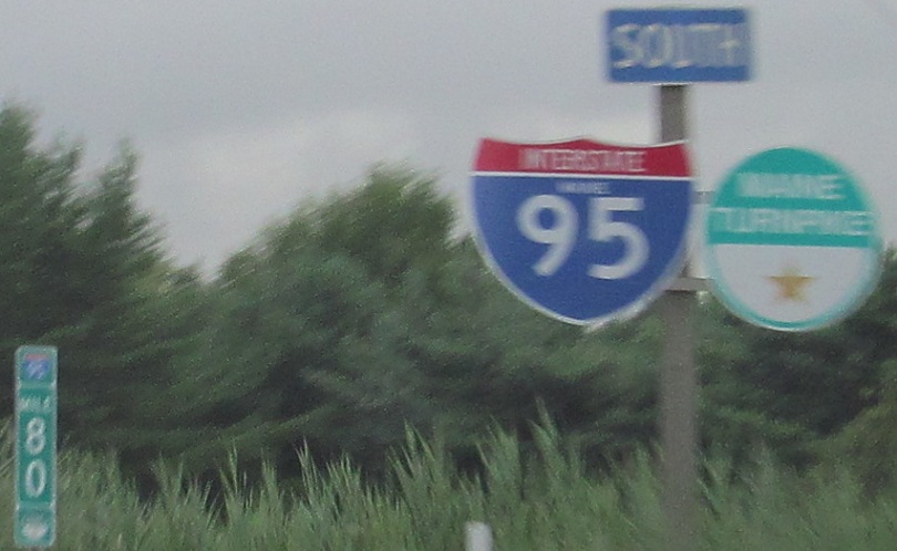
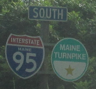
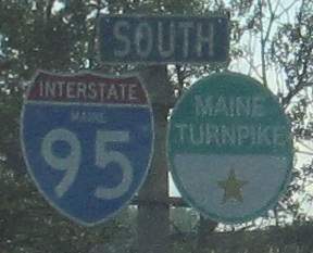
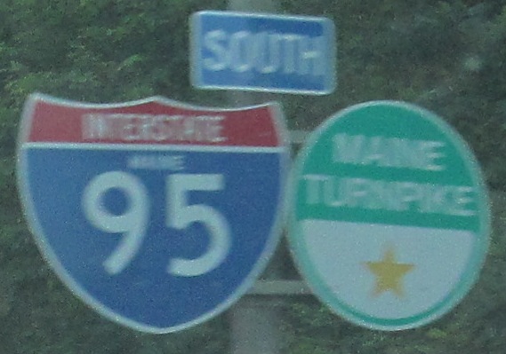
Here are some more typical shields you'll see along Maine Turnpike. Half of them are too wide, but all have the state name. Also, it seems that all of the shields were replaced without the banners on top, so the SOUTHs are in the old LeHay font. In the second photo, one of the 10-mile markers is visible in the background, with the added little I-95 and Turnpike shields. If the ME Turnpike Authority is going to post reassurance shields right next to the milemarker, why bother putting up the mini-shields?
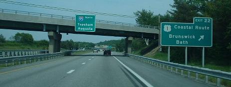
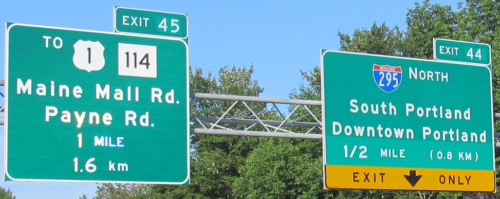
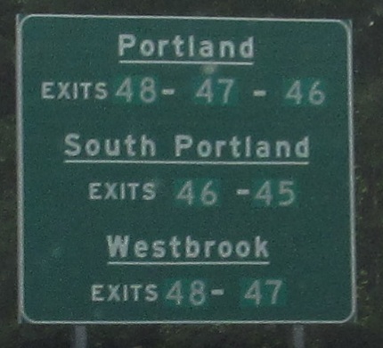
As I noted, the Turnpike renumbered its exits, quite obvious on these NB signs. It's also obvious that some work was done to make the right sign metric (metrify?), although not very gracefully and far away from standards. It's done because a lot of Atlantic Canadians use the Turnpike to vacation in New England.
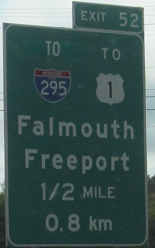
More older and renumbered exit signs, more ugly metrification (metrifaction?). Exit 52 is the Falmouth Spur, now secret I-495, but formerly the I-95 mainline. Until the 2000's, I-95 followed the free alternative down to Portland and I-495 was on the Turnpike. Maine decided that it was missing out on revenue by having through traffic following their favorite route on the free road and so made the switch. I-295 was the big winner, gaining the mileage all the way up from Portland. I-495 was the big loser, becoming this unsigned connection from I-95 to 295 on the north side of Portland. Keeping I-495 unsigned may discourage people from trying to follow the old route.
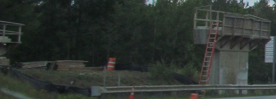
SB in Sabattus at Furbush Rd. overpass reconstruction.
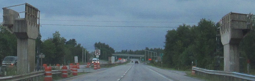
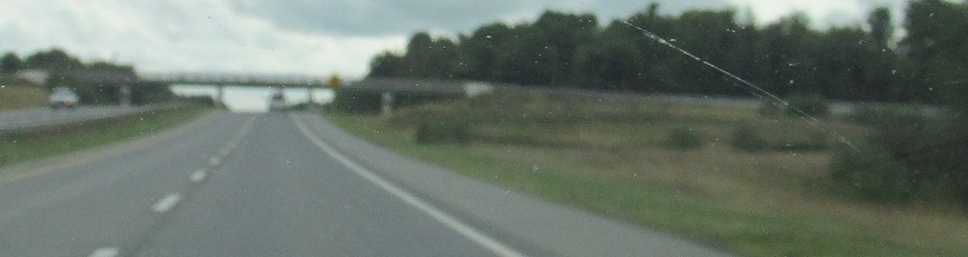
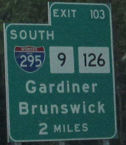
Exit 102 is now NB-off/SB-on only, but although it's not too clear from these SB photos, it used to be a full trumpet interchange. What happened? I-295 happened, just to the north at Exit 103.
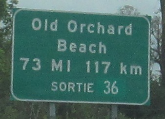
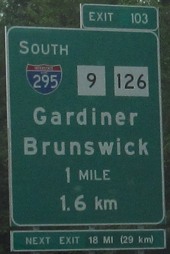
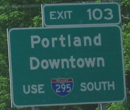
SB near Augusta up to the Maine Turnpike. Almost every Interstate shield in the state has the state name, which is good. Tiny exit numbers, the wrong font on the "Next Exit" sign, and US shields with black backgrounds on highway signs are bad. Using the French "Sortie" without the English "Exit" is just weird, especially since, as I said above, a good percentage of the Canadians on this road are from the Atlantic provinces, which speak mostly English. The Exit 103 signs are quite strange; the first one is Massachusetts-style with the exit tab part of the sign, while the next one uses clearly different fonts for "1 MILE" and "1.6 km," and both have different shield sizes.
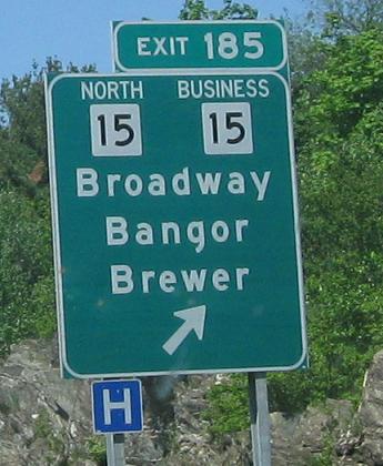
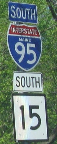
More northerly SB photos near Bangor. On the BGS, it looks like a regular-size ME 15 shield belongs on top instead of these two afterthoughts. You then see CT 15 on I-95, but for as many miles as they're parallel, you never see those routes together in Connecticut itself.
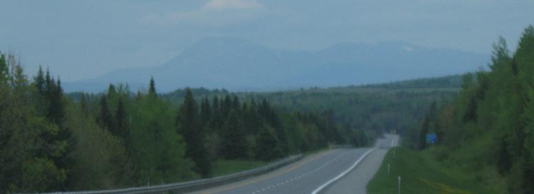
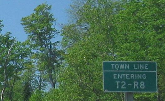
Mt. Katahdin, meaning "The Greatest Mountain" and aptly so, for it's the highest in the state. It's also the end of the Appalachian Trail. So since this is a SB photo, I'm north of the Appalachians. No one lives up here, so for administrative purposes, counties are divided into Ranges (the R) and then Towns (the T). One imagines the towns would have interesting slogans to attract tourism. "Welcome to scenic T2-R8, home of R2-D2?"
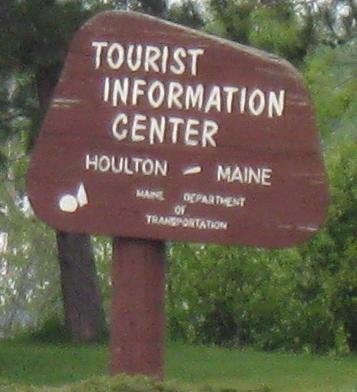
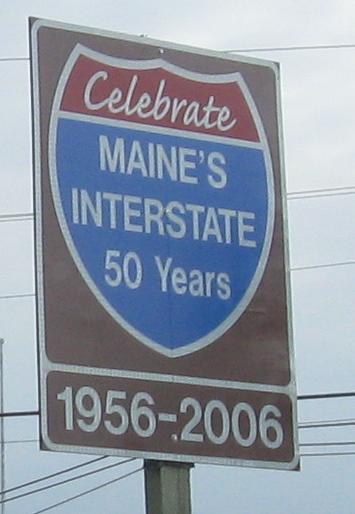
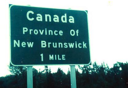
At the northernmost tourist information center east of the Great Lakes (technically on US 1), Maine celebrates a joke at its own expense. There are several Interstates in Maine, but all of them are branches of I-95. Because I-92 and I-98 have never gotten started, it's likely to remain that way. So celebrate I-95 with MaineDOT.
Leaving the information center.
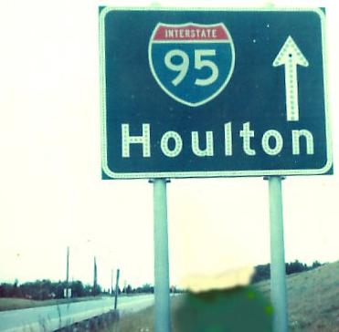
Starting the way I began, in 1976 with Michael Summa's photos. One is approaching the border, the other is heading back into the U.S. The Maine Turnpike didn't appear to use button copy, but MaineDOT sure did. Notice that I-95 is still only two lanes - this is one of the lowest-volume Interstate sections in the United States, so it was a low priority to dualize the carriageway.