Maryland Roads - Alt. US 40 - Casselman River Br.
Alternate US 40 - Casselman River Bridge
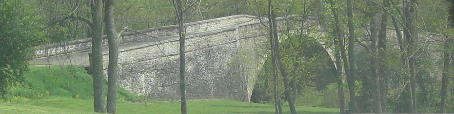
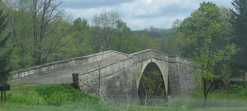
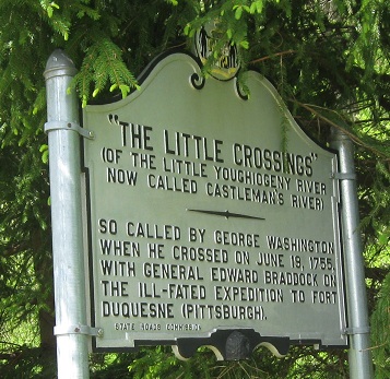
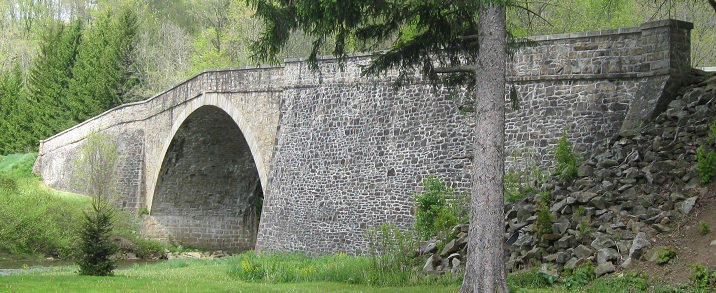
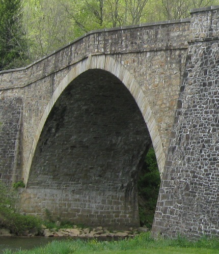
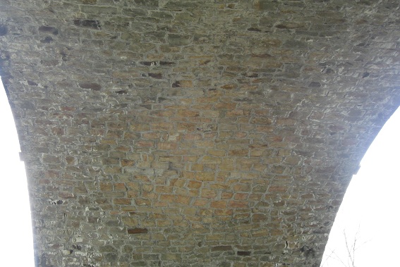
The Casselman River Bridge, once used by the National Road/US 40, in western MD. It dates to the beginning of the road in 1811, although the road wasn't even completed past here until 1813.
Get your history and start crossing eastward.
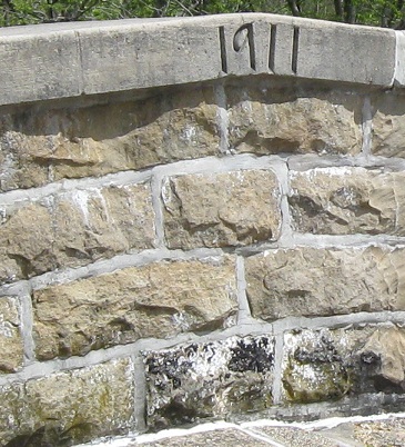
The mystery of this 1911 carved in the north railing may never be explained, especially since the top parts of the bridge were rehabilitated in the 1970s. Maybe it's the union number of the masons who set the stones in place?
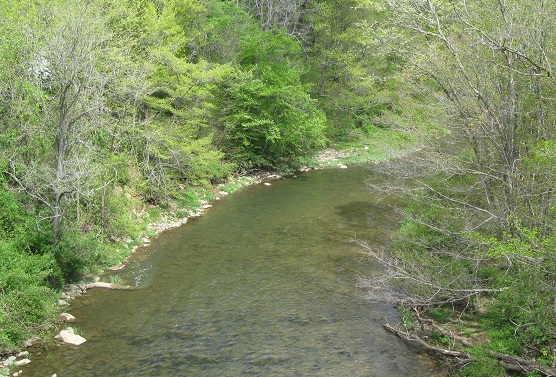
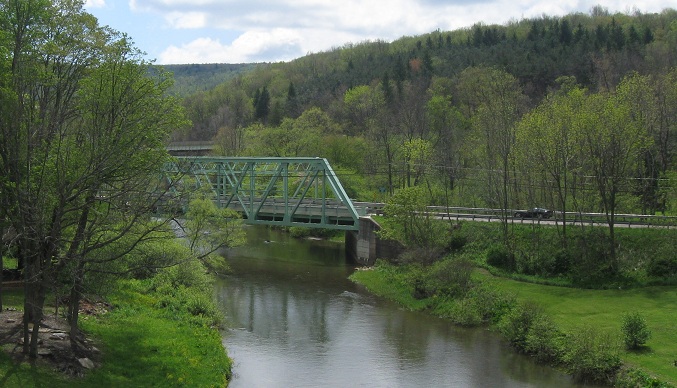
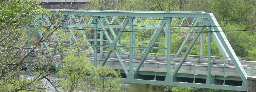
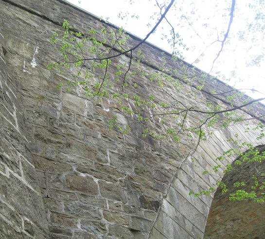
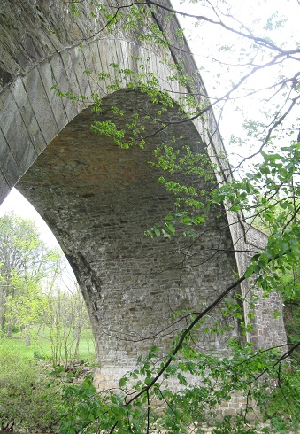
Views to the north and south along the river, surprisingly far below compared to most stone arches (but this one's a doozy). The current Alt. US 40 bridge is in the foreground, and not too far behind it is the newest bridge, I-68/US 40.
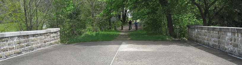
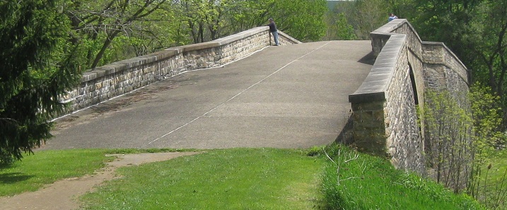
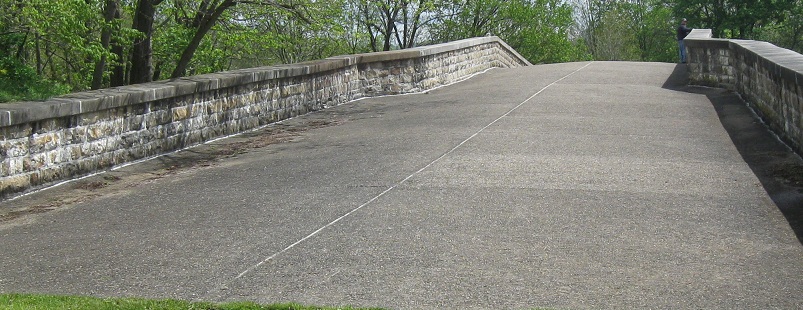
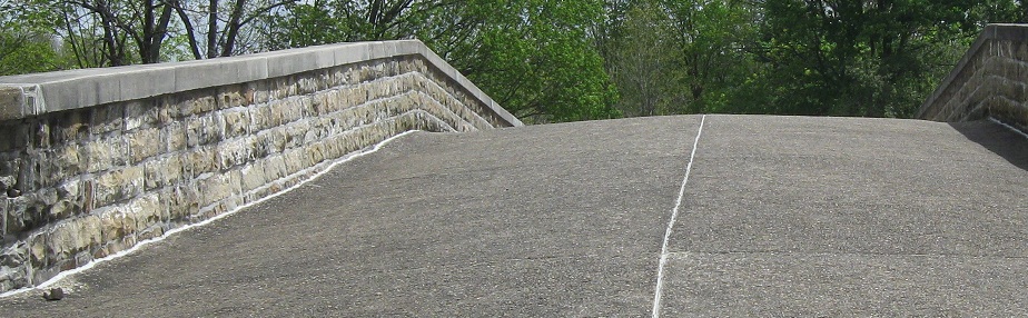
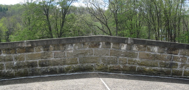
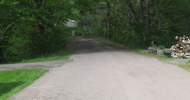
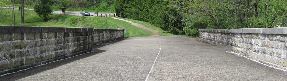
Continuing east across the bridge and onto Casselman Road, obviously the original National Road alignment and now done up slightly historically to befit that status.
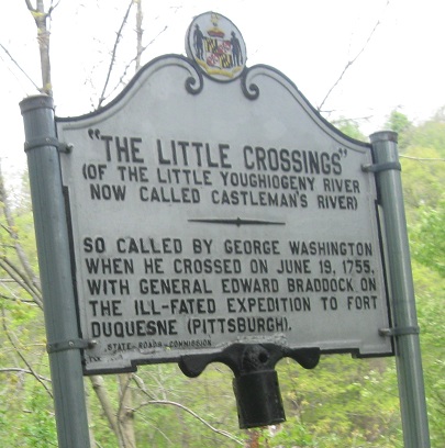
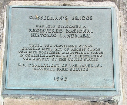
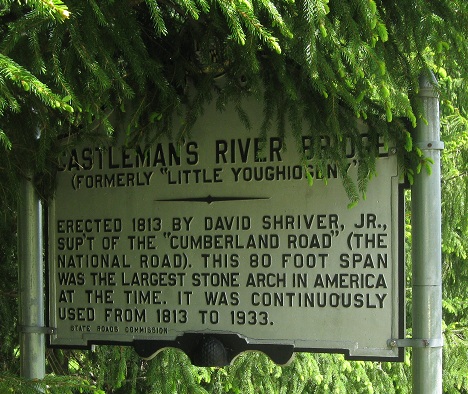
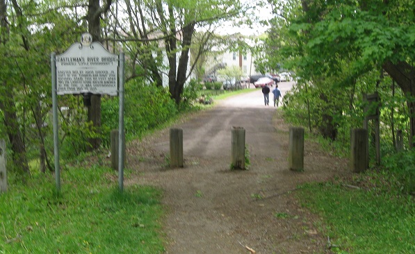
The historical sign on this side has a larger piece of the original single-post mount, though like its brother on the western side, it has been remounted for preservation.
Walking back west across the bridge.
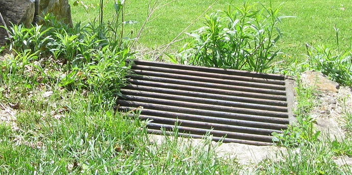
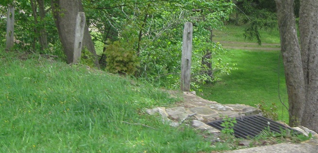
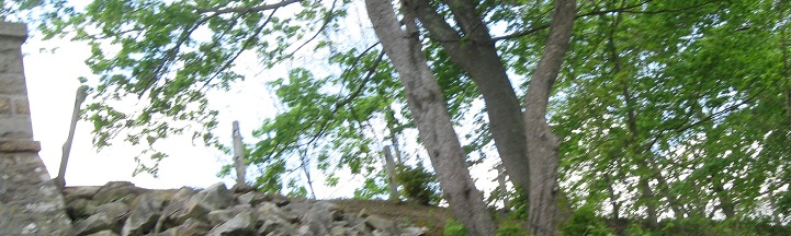
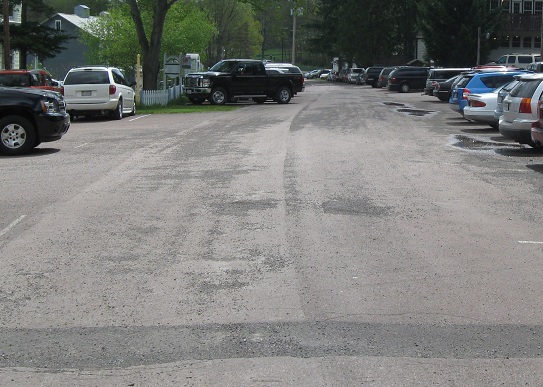
Views of storm grates and former guiderail posts on either side of the bridge. Up into the 1980s, traffic was allowed to cross the bridge, but now the approaches have been removed in favor of parking lots.
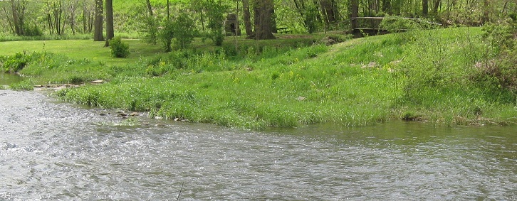
Views from the eastern shore on the south side of the bridge. If I creatively crop out Alt. US 40, it looks idyllic!
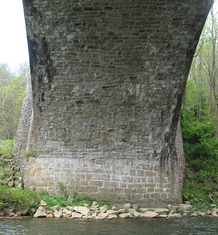
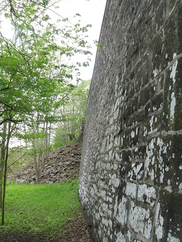
Venturing under the arch (carefully) to the north side. I believe the pile of stones is rubble left over from what had to be cleared out from the original bridge when restoring it. Rather than toss them away, assuming they weren't reusable, at least they're kept in place and visible, though it looks just a tad messy.
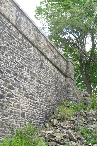
Back under the bridge once more, with a similar pile of rubble on this side (both are on the eastern shore).
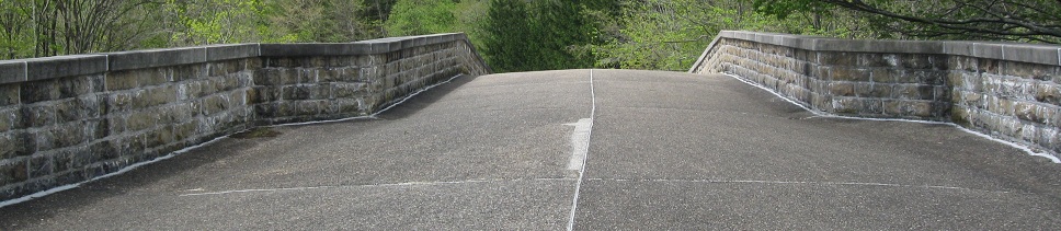
Out onto the Alt. US 40 mainline
Back to Alt. US 40 main page
Back to Maryland Roads
Back to Roads