Massachusetts Roads - MA 2 - W. of Orange
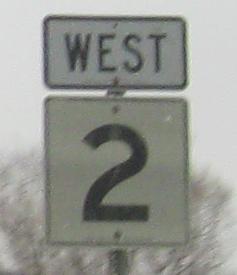
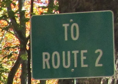
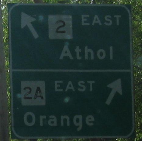
 west of Orange
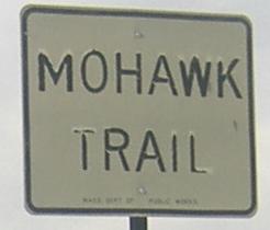
The Mohawk Trail sign above is on MA 2 WB/MA 8 SB in North Adams; for other photos from that multiplex, see the MA 8 link at the bottom of the page.
 Cole Ave. SB, Williamstown.
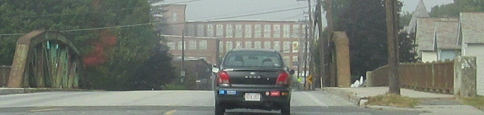
Leaving North Adams WB across the Hoosic River, past the shield atop the page, to Williamstown, where MA 2 meets MA 43 but not US 43. US 43 is down in Alabama. MA 43 is to the left and closed for bridge repair.
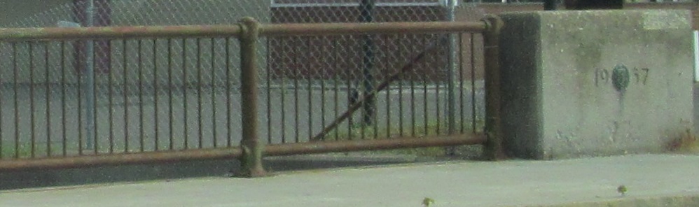
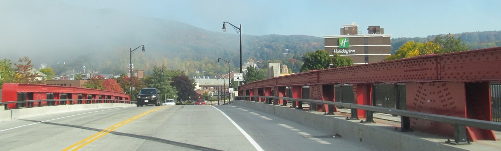
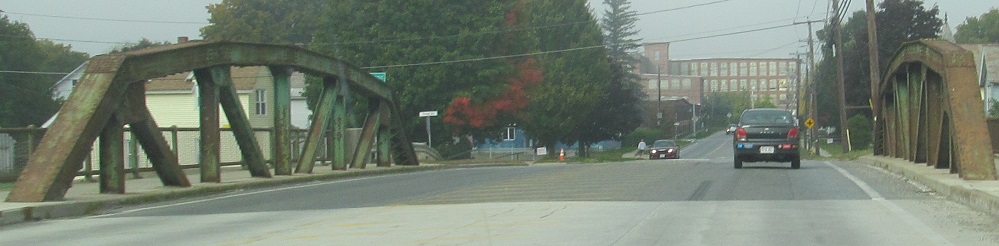
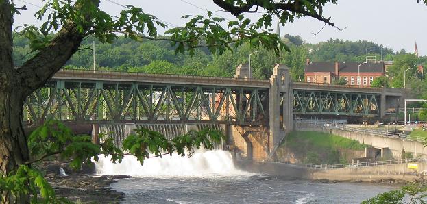
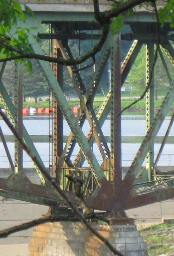
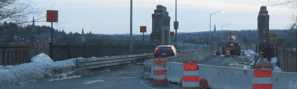
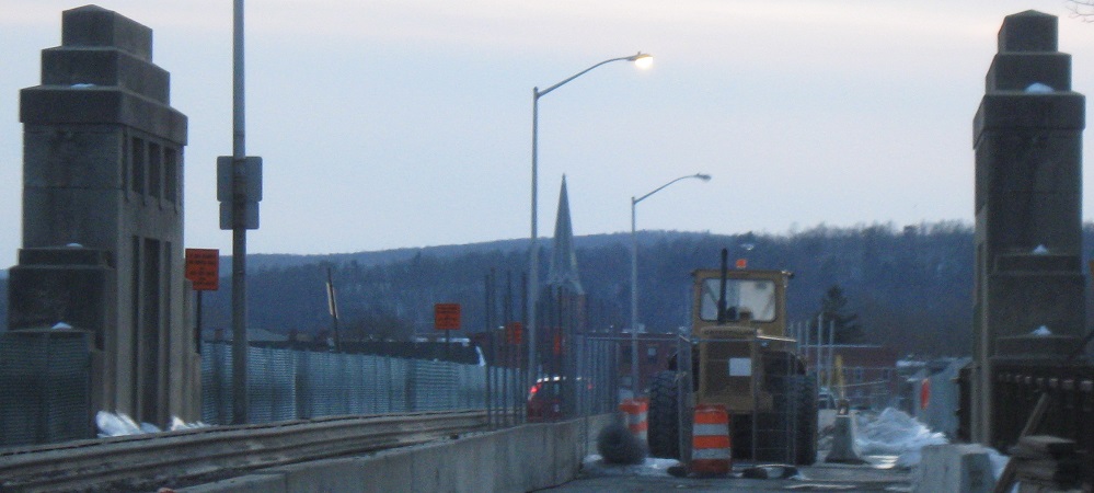
Back east from the 1957 Hoosic River bridge (first of three) to a separate bridge across MA 8 into North Adams.
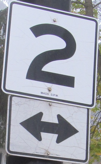
 MA 2 has many shields like this, which used either Series E or F font.
Such as these, WB at the eastern end of their multiplex.
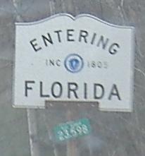
If you want to make your winter vacation even easier, just go to the Florida located on MA 2.
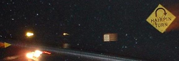
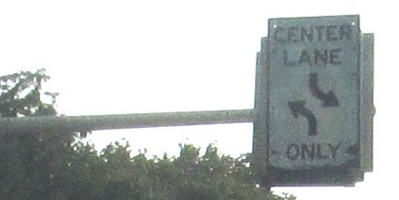
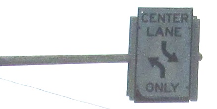
Two signs from the MA 2 hairpin curve atop the ridge east of North Adams, EB and WB respectively. There's another BGS several miles to the east, facing EB 2 coming down the less aggressively sloped side of the hill. Also, inside the current hairpin (there's a hairpin hotel and everything) there is a concrete path that must have been the original road. Not only is it steeper, it describes THREE hairpins. You can't drive it any more, though you can see what it now looks like by following the Mohawk Trail link below.
Thanks to Doug Kerr, I can show you the EB hairpin sign. Many thanks indeed.
Sure, I suppose this is accurate, but a shield assembly is more normal. I believe it's on Church Rd. NB from S. County Rd. in Florida.
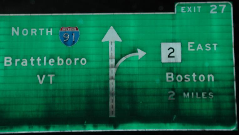
Borrowed from the I-91 page, and courtesy Matt Kleiman, this is a photo from the short I-91/MA 2 duplex. A small part of the MA 2 freeway was built west of the end of the current Super-2 (which would obviously have been twinned had MA 2 become I-90 as was originally planned) as a bypass of Greenfield. It never made it to the rest of the 2 freeway, though, so MA 2 jogs northward on I-91 while 2A goes through the town.
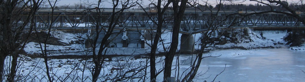
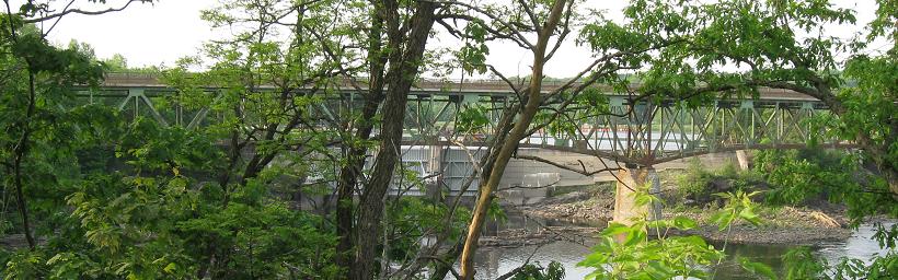
EB and looking south along the Gill-Montague Bridge, which looks more impressive from below, as it carries Avenue A into Turners Falls across the Connecticut River.
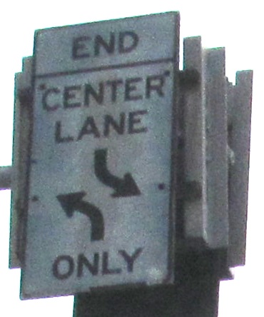
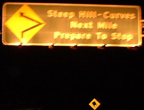
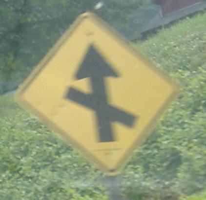
Continuing EB with some old signs.
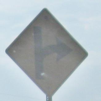
Old arrow sign, WB in the Erving area.
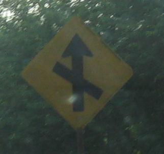
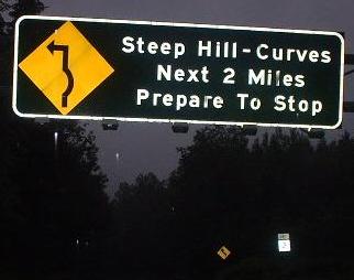
A couple more EB, maybe just a hair west of Erving.
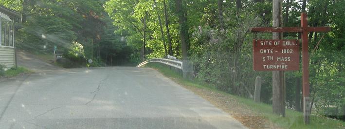
Up on an old alignment of the Mohawk Trail, you find out some history. That's not the original toll house to the left.
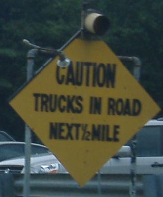
Really old WB warning sign. There used to be an EB one as well, in a small industrial area just west of the Super-2 (2 lane freeway). Notice that there is both a spotlight and a blinking light on this sign; the spot is a cool idea for a sign that's completely unreflective, but replacing the sign would also have worked.
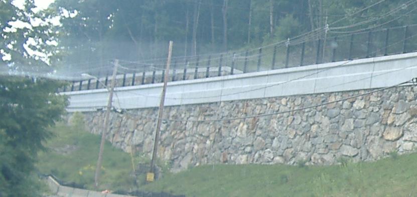
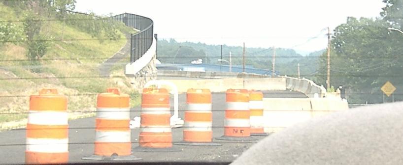
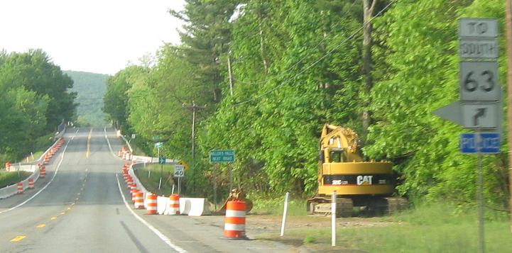
In 2006, construction is underway for a short two-lane bypass around and up the hillside from that industrial area. It's about time, though it would be nice to have built the bypass to four-lane capacity... y'know, just in case MA 2 were ever to try and be a freeway. First photo is taken westbound, second is looking eastward.
MA 2A has been following MA 2 silently and faithfully ever since Greenfield. There is only one signed MA 2/2A duplex (well to the east), so even though the other alignments of MA 2A all appear to track off of the same mileposts (which may well be MA 2's original mileage), they're all basically separate routes.
Onto old MA 2, the Mohawk Trail
Onto US 7 and MA 2/US 7
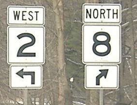
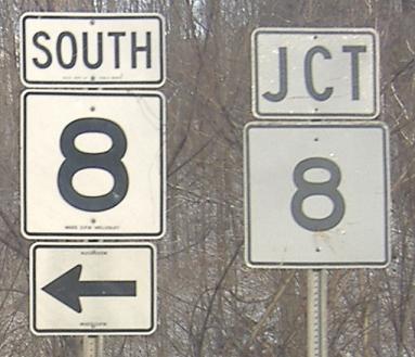
Onto MA 8 and MA 2/8
Continue east on MA 2
Back to MA 2 main page
Onto MA 2A
Into New York on 2
Onto MA 43
Into Florida, MA
Onto I-91
Into Turners Falls/Montague
To MA 63
Back to Massachusetts Roads
Back to Roads