Massachusetts Roads - MA 128
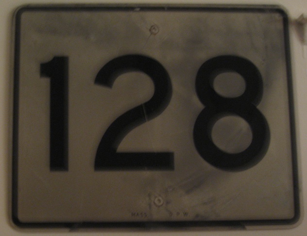
MA 128 was once the Circumferential Highway, a ring road that stretched from Braintree to Cape Ann, from MA 3 to MA 127. It still would be if not for the Southwest Freeway's cancellation; because I-95 could not be routed into Boston directly, it ended up being routed around Boston, and I-93 began where I-95 met MA 128. 128 was then pulled back from the Interstates, until public outcry brought back 128 signs (if not the actual route) to the I-95 part of the highway. The shield above, in my personal collection, was likely one of the ones from that pullback. Photos from there can be seen via the big link below.
I was going to use this shield as my traditional header photo, but it's just too hard to tell that it belongs to MA 128.
NB, although heading east, but in either direction the numbering would be backward thanks to the original numbering system (what, was clockwise viewed as an inferior order for exit numbers?). For reference, the southeast end of the Circumferential Highway at MA 3 was Exit 69; 128 then continued southeast on 3 to MA 228. MA 128 is signed north-south to preserve continuity, but the northern end of the highway faces due south. I recommend making standalone MA 128 east-west, and just taking it away from I-95 for simplicity's sake.
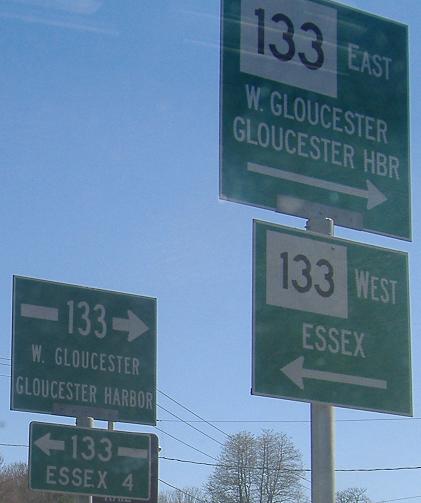
The end of the MA 128 NB ramp to MA 133 - it seems that the cool older signs get to chill out with their younger siblings, who have cardinal directions but lack chutzpah.
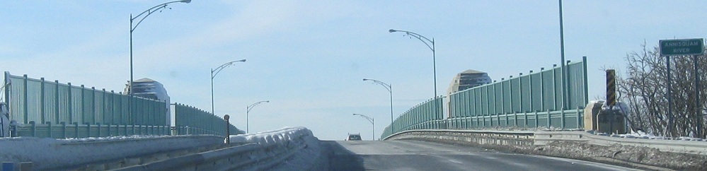
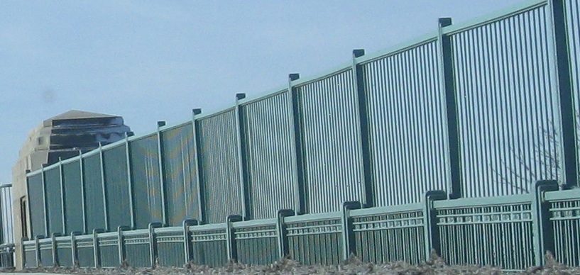
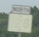
SB (west) across the Annisquam River from MA 127 just after MA 128 begins.
MA 128/I-95
MA 228, former 128
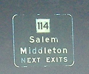
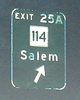
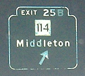
Exit 25 to MA 114
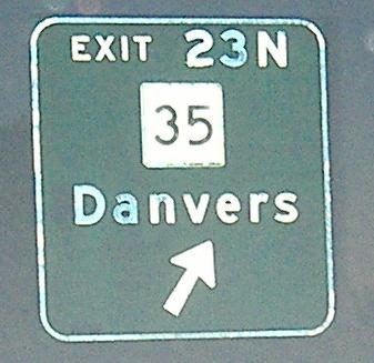
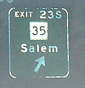
Exit 23 to MA 35
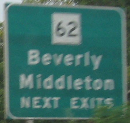
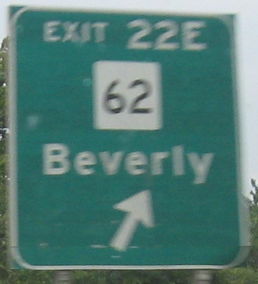
Exit 22 to MA 62
Onto MA 133
See more of Essex County
MA 128 on Steve Anderson's bostonroads.com
Back to Massachusetts Roads
Back to Roads