Massachusetts Roads - I-90 - East of Exits 18/19/20
I-90 east of Exits 18/19/20
Free I-90 and Ted Williams Tunnel
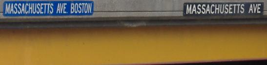
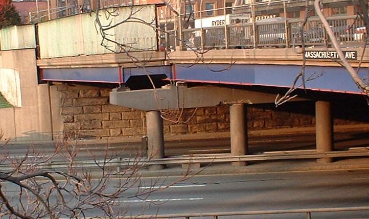
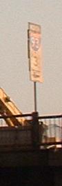
The Massachusetts Avenue bridge over I-90. The WB face is yellow, while the EB face is blue with red accents. Also, in addition to the standard black rectangle, the WB face of the bridge has a blue MASSACHUSETTS AVENUE BOSTON right next to it. Honestly, if you don't already know where you are...
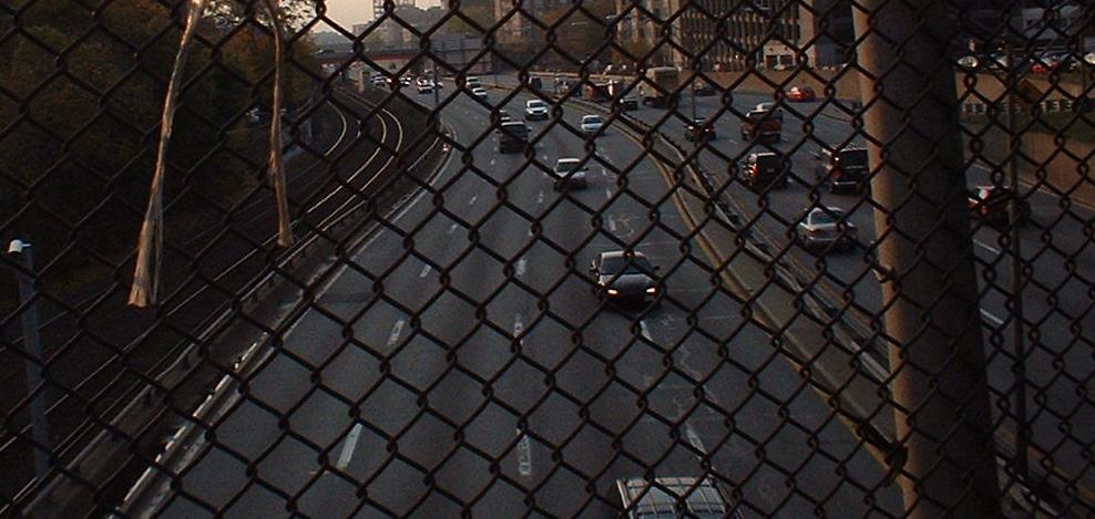
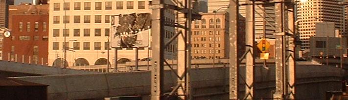
A view of the depressed freeway running next to the MBTA commuter rail. Punched through Boston in the 1960's, this section of highway was clearly not meant for eight lanes, as there are no shoulders on either side. The walls immediately next to the highway make this a very claustrophobic place to drive.
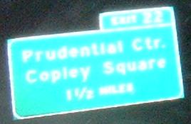
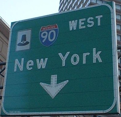
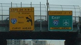
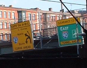
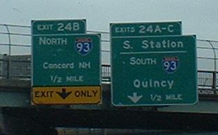
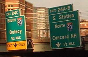
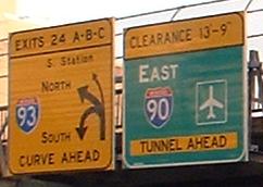
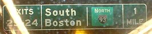
This is the last appearance of EB button-copy on the mainline (there is more on the Exit 22 ramps, linked below). The final sign is new, as are all BGS's to the east, now that Exit 24's configuration has changed to its final form (scroll down to find out more).
Exit 22 is completely underground. This wasn't originally the case, but once the Prudential Center was built in 1978, it covered what until then were daylighted ramps, and took out a direct ramp to Dartmouth Street. Coming off of EB I-90, you curve around 180 degrees right away. If you want to head toward Copley Square, you end up doing another 180 and coming out of the middle of a building; otherwise you come up into MA 9 WB/Huntington Avenue. The ramp to get on WB 90 (it's only a half-interchange) doesn't do much twisting, but it's interesting in its own right (I'll tell you more below).
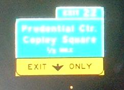
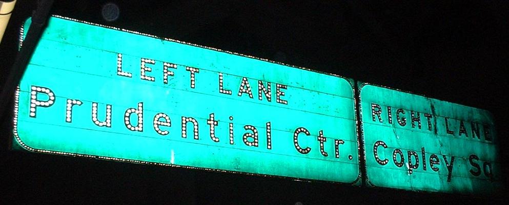
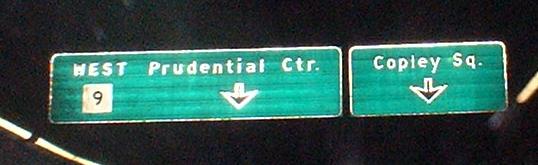
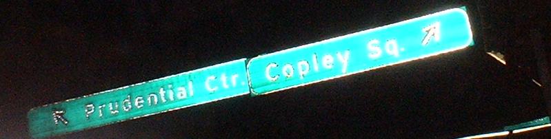
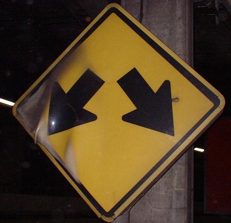
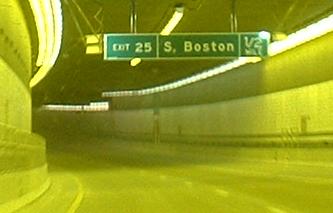
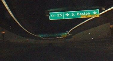
Anyway, when an exit is tunnelled and has a lot of good signage, there's only one way to get it all decently, because flash really doesn't work for these. So deep in the middle of one night in February 2003, I pretended not to notice the skinny NO PEDESTRIAN signs (one letter wide) and picked my way into the bowels of Exit 22. This is the progression of overhead signs you'd see once you take the exit, from when the tunnel was built. Those right/left arrows are freaky - definitely should be slanted.
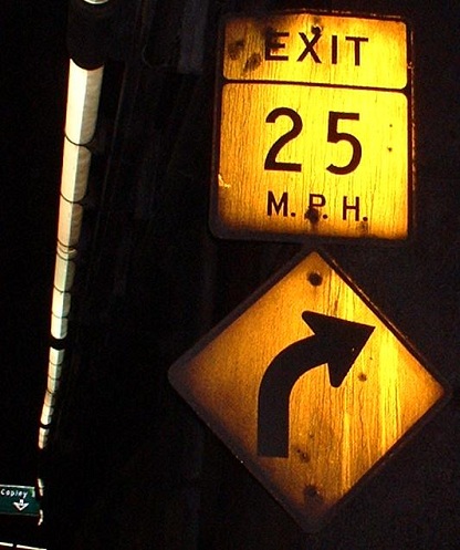
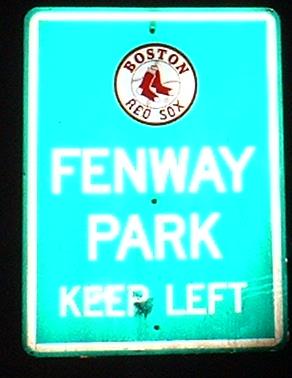
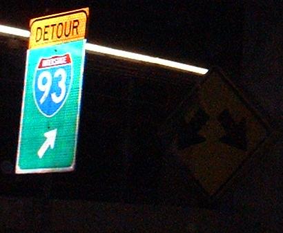
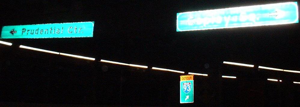
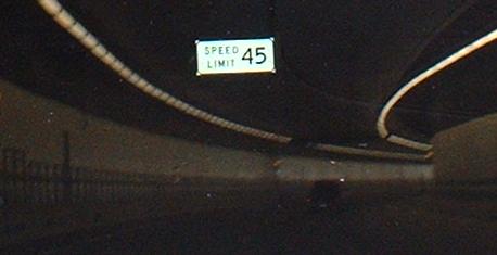
The 25 MPH sign is probably original - there are plenty of RAMP 25 MPH signs, but only this one says EXIT. To go to Fenway Park click here; as much pride as Massachusetts has, that's probably an official Mass Pike sign providing free advertisement. The DETOUR I-93 was probably up for when the ramps from I-90 (Exit 24) were switched from NB on the right to NB on the left; but what's that in the background to the right?
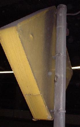
Maybe at one time this lit up, but now it's a giant metal frame covered with peeling plastic. The only other thing I can think of is that the sign is intended to absorb impact so people don't crash head-on into the gore and potentially damage the tunnel. Definitely original, and very weird.
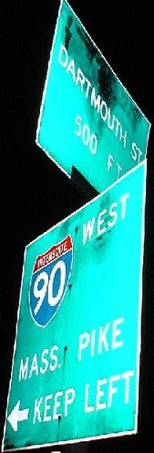
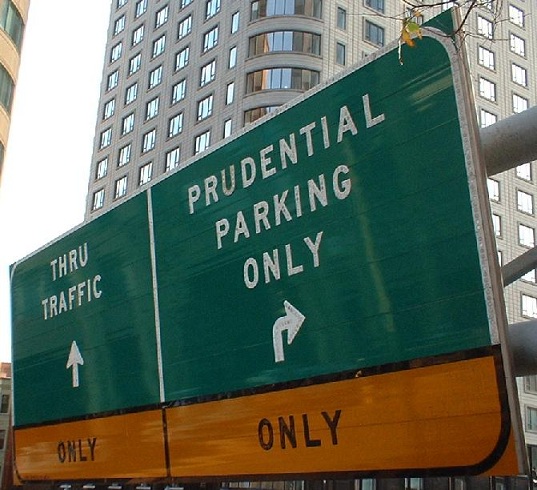
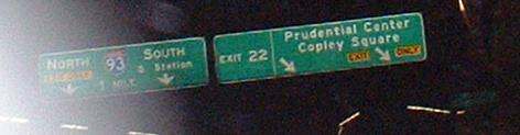
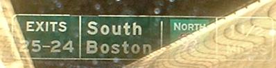
If you take the right fork, you do more or less a full loop and emerge into daylight seeing the Dartmouth St. half of the first sign. Surface traffic alongside you in Copley Square sees the I-90 sign, and knows to keep going toward the sign below. If you take the left fork, you see the second sign, and are reminded that the right is only Pru traffic only.
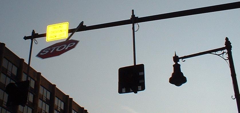
The assembly immediately after the ONLY ONLY sign. The yellow sign reads "TRUCKS ENTERING FROM LEFT", referring to the fact that there is a sometimes-used driveway off of Huntington Avenue/MA 9 WB right where this ramp merges in. Thus the ramp must stop while no one else needs to. Note the old-style lamppost, which Boston is using in certain areas for aesthetic reasons.
What you'd see if you were coming out of Copley. This ramp actually drops from the middle of a one-way road, Huntington Ave. - traffic and parked cars diverge to either side. Definitely seems like Huntington was two-way when the ramp was constructed, but a look at the original photos suggests that the road on the right was intended to be for parking, while the road on the left was intended for through traffic, and both were WB only. The other interesting part to this is that you come upon the ramp as you turn onto Huntington. Oh, yes, Huntington is still MA 9 at this point, but there's only one WB 9 sign (see up top) and no EB 9 signs - it ends pretty soon at MA 28 anyway.
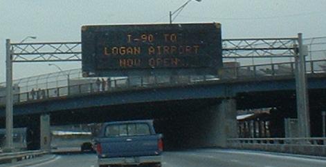
This EB picture was taken on January 18, 2003, about a half-hour after this message probably appeared. If you haven't guessed, this is when the I-90 extension opened, on a lazy Saturday morning. This was the first section of the Dig to open; the Leverett Circle Connector doesn't count because it's not exactly dug into anything.
Big Dig photos, April 2003
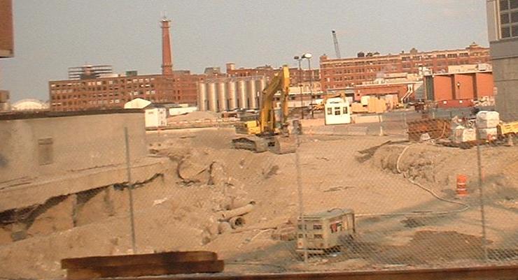
Grading for I-90 well underway.

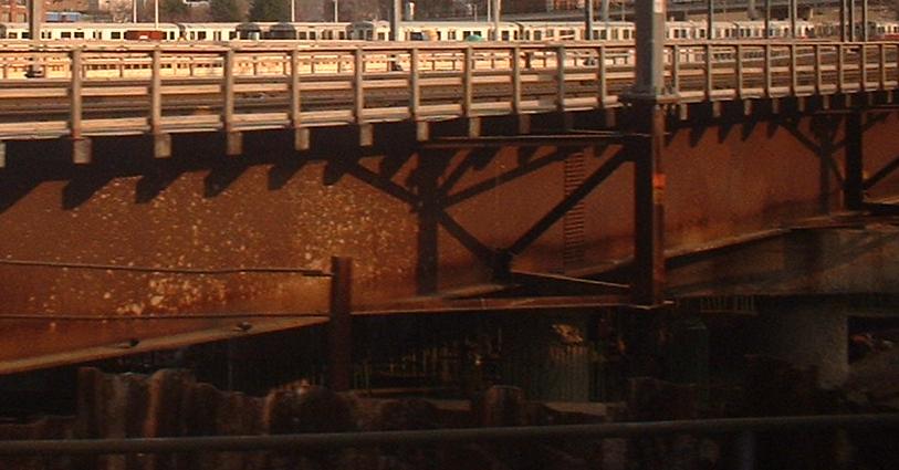
Bridges that will cross I-90.
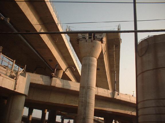
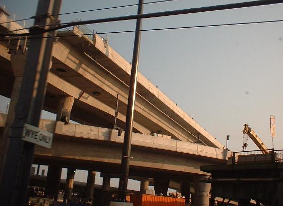
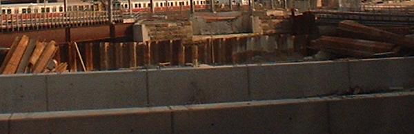
Ramps between I-90, I-93, and South Station - the elevated ones are all to/from South Station, and 93-90 ramps will all be submerged or underground. Click on the last pic for a closeup of old signage on a road intersecting the old frontage roads.
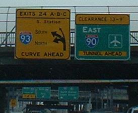

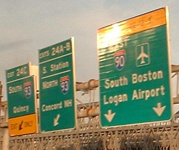
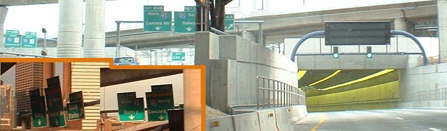
When the new Fort Point Tunnel opened, extending I-90 into South Boston and eastward, there was initially some ramp rearrangement in the I-90/I-93 interchange. Originally, the SB I-93 ramp was the leftmost, curving back under I-93 and up to the SB side, with the NB ramp in the middle, but then the NB ramp was brought into the old roadway from the left while the new connection was being worked on. During this phase, lettering went B-C-A across the EB highway. In the newer photos, shown next to the older ones for comparison, NB traffic is back where it belongs, actually passing under the South Station ramp on its way down to I-93, and lettering has been restored to C-B-A. As for the tunnel, it was one of the most expensive individual portions of the Dig, underneath the Fort Point Channel. Sections of it were floated into place and then dropped and connected.
EB Exit 24C to South Station. The white diamond sign is for the new bus lane into the terminal.
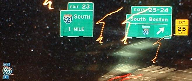
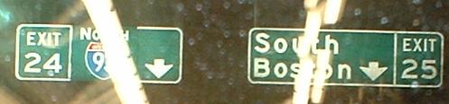
These signs are all EB in the Fort Point Channel tunnel; Exit 25 leaves just before the end. Notice in the first picture the yellow transition lighting that is being used for all Dig tunnels, to help adjust drivers to the artificial light before getting hit by bright white.
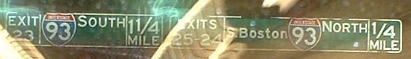
WB for a change. Not sure what the patch is for on the second sign. The last photo is on the long Exit 24-25 ramp. I feel like the contractor could have made a lot better font and spacing choices all around here - just look at the squished NORTH I-93 on the exit sign (fourth photo) and the expansive green space around it.
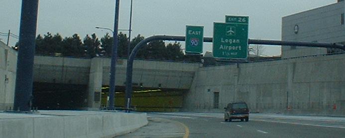
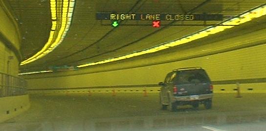
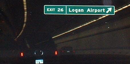
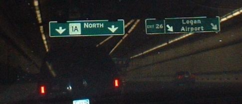
Well, that's it for I-90 EB BGS's; the highway rises out of the Ted Williams Tunnel after another half-mile or so (making this the third I-90 underground exit) and merges with MA 1A NB. Again notice the yellow transition lighting at the beginning of the tunnel, as well as the fact that a lane was coned off for no apparent reason. This picture was taken the first day the tunnel opened, so it's possible the cones were gone a few days later.
Sure, technically this is an I-90 EB BGS, but it's pointing the way to an MA 1A exit that will happen after the merge.
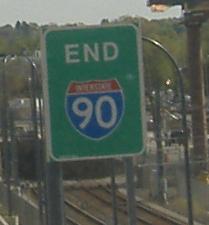
EB and WB, respectively, at the new eastern end of I-90. The WB shield is rotated 90 degrees from the roadway, so doesn't do a whole lot currently.
West to between Exits 14/15 and 18/19/20
Back to I-90 main page
Exit 21 (onramp only), Massachusetts Avenue
Exit 22 to MA 9
Exit 24 to I-93 (and more Big Dig photos)
Follow I-90 east into MA 1A
Into Logan Airport
Into Boston
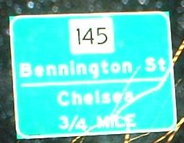
To MA 145
Ted Williams Tunnel on Steve Anderson's bostonroads.com
Back to Massachusetts Roads
Back to Roads