Delaware Roads - US 9
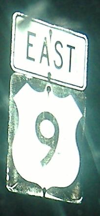
US 9 has the largest gap of any US highway, if you ignore the two pieces of US 2 and the signed-but-not-official routes through Yellowstone Park. Then again, you'd also have to ignore the connection made by the Cape May-Lewes Ferry; one could argue US 9 is connected during waking hours, barring ice in the bay. Despite its number and the alignment of the rest of the highway, US 9 runs east-west in Delaware, perhaps due to the routes it absorbed (now-dead 28 and truncated 18). Except for its short multiplex with DE 1 (a recent development circa 1990 - see the alignment of Business US 9 in Lewes), US 9 East keeps heading at least slightly North, and should be signed that way for consistency.
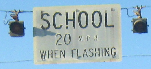
All of US 9 west of DE 1 is boring, road-wise, so I head past the end of it onto Georgetown Road in Laurel for these WB photos approaching old US 13. The shield atop this page is all I found on the route itself in that stretch. It does get a little interesting in the center of Georgetown, but I've covered that part on my DE 404 page, linked at bottom. (That's where DE 18 ends and 404 joins 9.)
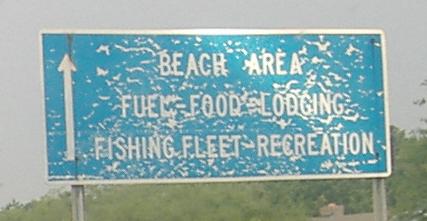
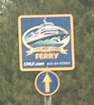
Something old, something new, and hey, if we call the US 9 designation borrowed from New Jersey, we can skip to something blue! The tattered beach sign may not be any older than when this became US 9 (reread the intro paragraph if you forgot), but some combination of wind, sand, and traffic has worked unfortunate wonders. The new Cape May Ferry signs will gradually replace the older, easier-to-read but less computer-generated signs, such as seen on DE 896. All three form an eastbound progression on Kings Highway in Lewes.
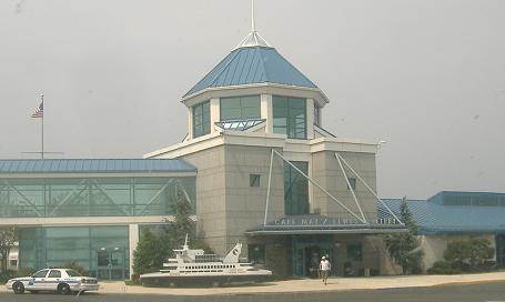
Past the front of the ferry building, and onto the most mobile part of the highway. You can turn your car off and still drive a dozen miles safely.
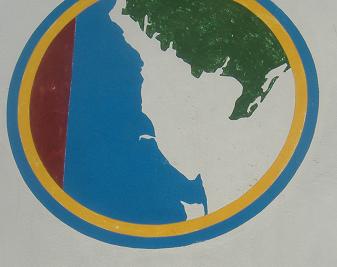
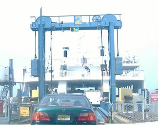
Like the jaws of a snake, the ferry logo (on the mast of the ship) shows how the two capes (Henlopen for Delaware) make the ferry practical. One day, we can hope for a bridge-tunnel...
DE 404 and US 9/DE 404
Into New Jersey on US 9
Onto the Cape May-Lewes Ferry
Back to Delaware Roads
Back to Roads