D.C. Roads - I-66/US 50
I-66 and US 50/I-66
I-66 was meant to continue eastward from its current terminus at US 29 to connect to the proposed I-95 north of downtown DC. (An earlier proposal would have taken it north along Florida Ave. to U Street, but still tying in around the same spot.) 29 would have been I-266 along the Whitehurst Freeway. I-66 is good at making freeways into stubs; in addition to its own incompleteness, the E Street Expressway stubs off to the east for five blocks, and the Potomac River Freeway stubs to the south after almost no distance at all. The latter was meant to be part of I-695, as the Southwest Freeway, connecting to I-395 (which would have been I-95), duplexing, and then splitting off as the part of the Southeast Freeway that was constructed.
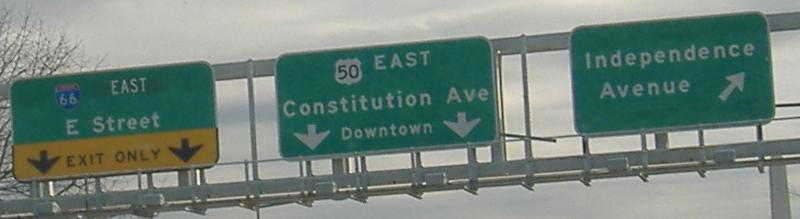
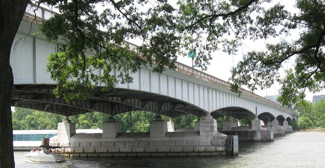
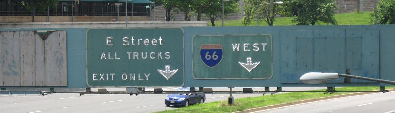
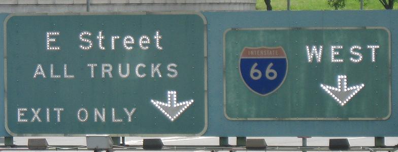
The first interesting sign inside the DC limits, which is defined as the southern shore of the Potomac River; it's on both I-66 and US 50, which are just together to share the Teddy Roosevelt Bridge. This is the last I-66 East reassurance motorists see, and the sign implies that 66 follows the E St. Expressway. "Independence Avenue" is really the end of the Potomac River Freeway, and first leads to Ohio Drive.

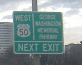
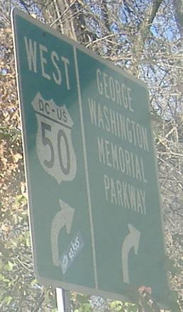
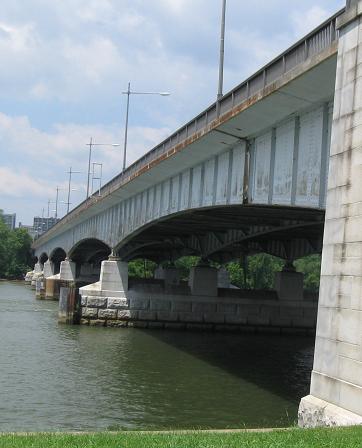
I-66 and US 50 WB entering Virginia, ending just shy of the shore and the state line. By the time you get to the exit, US 50 is in Virginia, so the DC-US shields are peculiar indeed, even if they are barely within city limits. It's also peculiar that unlike the other DC-US shields to be found in the city, these are on fairly new signs.
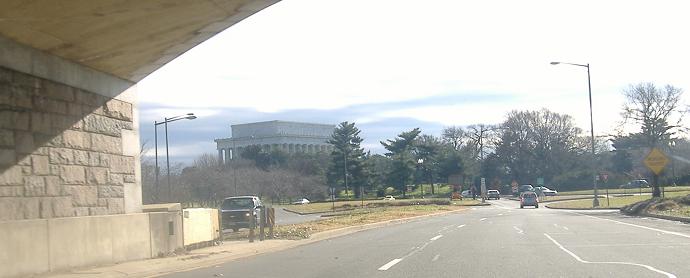
Potomac River Freeway SB at Ohio Drive by the Lincoln Memorial. This would have been I-695 eastbound.
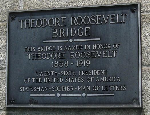
The sides of, and plaque on, the Theodore Roosevelt Memorial Bridge to Virginia.
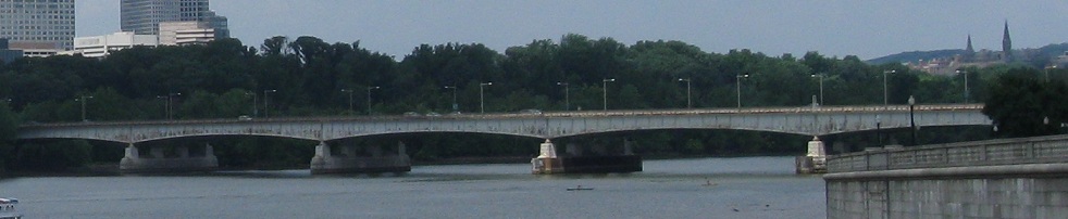
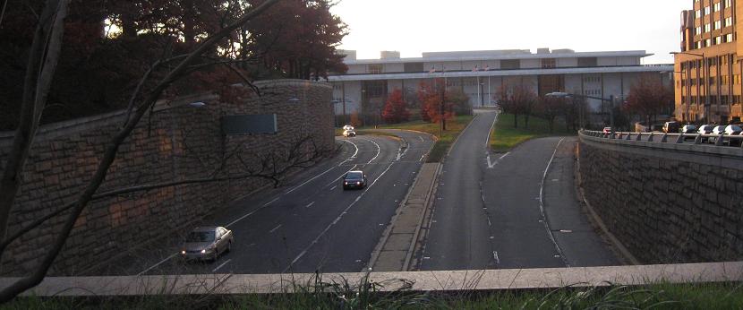
Contextual view north from the Lincoln Memorial.
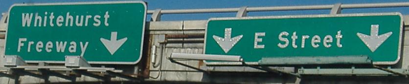
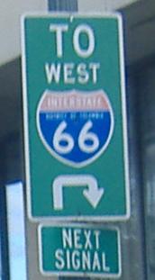
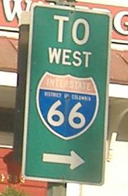
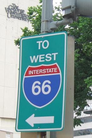
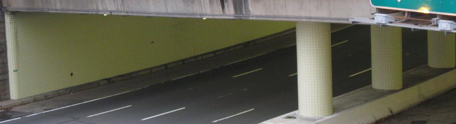
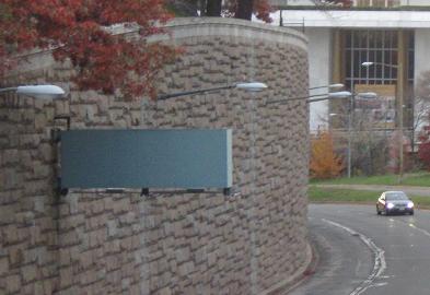
I-66 EB follows the "Whitehurst Freeway" sign. There is still ample opportunity after E St. to exit into the heart of DC (L St.) or onto US 29 North (K St.).
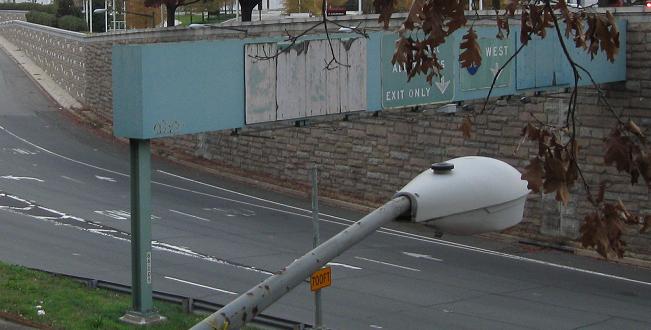
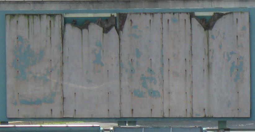
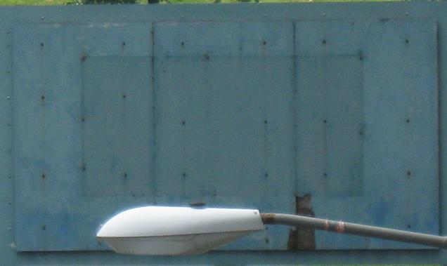
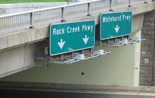
Ancient button copy on the Potomac River Freeway SB, which is well-signed as I-66 in this direction. There are blank signs on both sides, or so it seems from these angles. Check out some closeups:
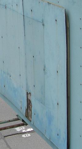
Well, one thing is clear - the sign on the left is definitely still there. It was for I-695 SB, the continuation of the Freeway. (I don't know why it was SB instead of EB.) Notice that the center two signs have different colors of their non-reflective backgrounds.
Taking an even closer look at the sign on the right, sure enough, it's there as well! Jeffrey Jenkins pointed me to an old photo showing that it was for a former exit to Rock Creek Parkway (which is what the sign is for) and the Kennedy Center. The exit was removed in the mid-2000s when the Kennedy Center renovated, which is why I couldn't figure out what it went to.
Virginia Ave. NW eastbound at I St. NW. I St. is the first onramp to I-66 since its beginning out of the Whitehurst Freeway EB (US 29 NB).
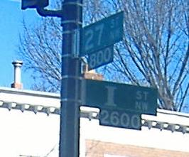
Circling around from Virginia Ave. NW westbound to I St. NW, via (obviously) 27th St. NW. The district-name signs flank a very wide I.
27th St. NW at I St. I St. is clearly a major collector for I-66. In this case, the intersection should have borrowed a page (and a shield) from Virginia Ave.
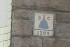
Looking at I-66 EB from 25th St. NW on the west side of the freeway, entering the Virginia Avenue/New Hampshire Avenue circle overpass. It's bridge #1302 in the District.
Looking west from 23rd St. NW along the E St. Expressway with I-66 and the Kennedy Center for the Performing Arts in the background.
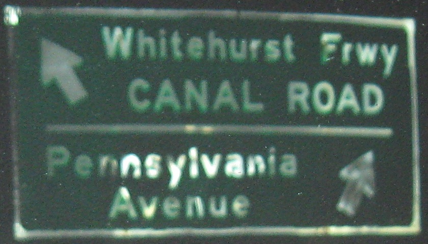
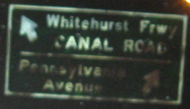
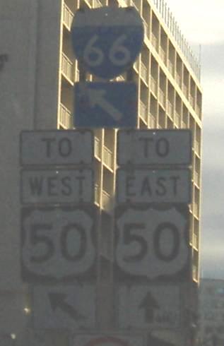
If you take the "Whitehurst Frwy" ramp, these are your decisions.
Onto US 50 alone
Into Virginia on I-66
Into Virginia on US 50
Onto G.W. Memorial Parkway
Onto Independence Avenue
To the Whitehurst Freeway and US 29
Onto Rock Creek Pkwy.
To Canal Road
Onto Pennsylvania Avenue
Back to the DC Meet page
Potomac River Freeway (I-66) on Steve Anderson's dcroads.net
Back to DC Roads
Back to Roads