D.C. Roads - I-295/I-695
 and former I-295/current I-695
Above: one of the only cases I've seen where the district name is represented as "D.C." instead of spelled out. Washington Ave. SW, SB at C St. Read on to find out why this page includes part of I-695.
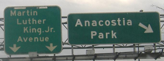
Have some more district-name shields. These are on I St. WB at 8th St. SE and 7th St. SE SB at Virginia Ave. Both of them are really directing traffic to then-secret I-695 to get to I-295.
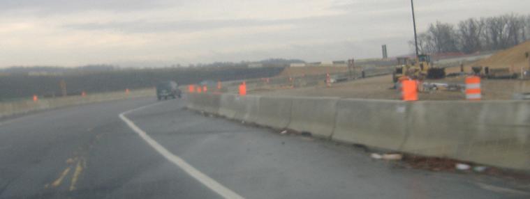
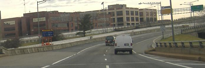
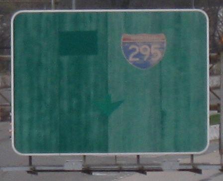
Tiny DC-spec shields look out of place on a freeway. The second photo, showing some of the construction attending the dualization of the Wilson Bridge (I-95/495 across the Potomac River just to the southwest of I-295), is technically in Maryland, but I'm not creating a Maryland I-295 page for half a mile of ramps.
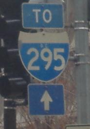
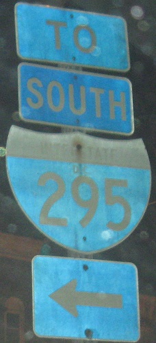
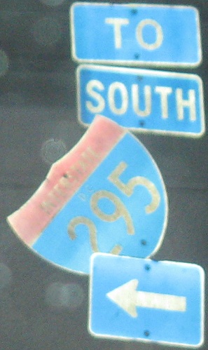
 Fire sale on arrows?
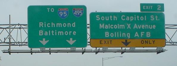
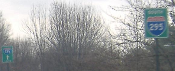
Gee, I-495 isn't that important, right? It's not, say, the Capitol Beltway or anything. Courtesy Lou Corsaro.
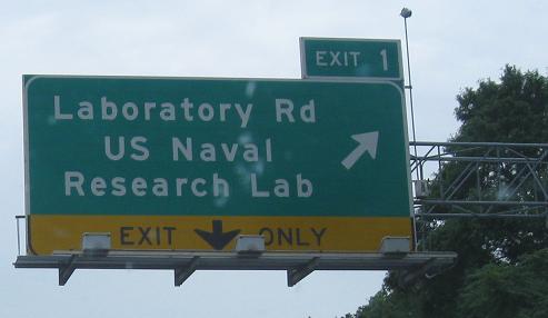
A new look for the highway, US 295, again from Lou and still southbound. You'd think the nation's capital would know what an Interstate shield looks like.

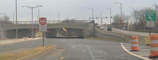
At the base of the Exit 3B ramp, probably meant for U-turns from the 11th St. Bridge (I-295 out of DC) to get to DC 295.
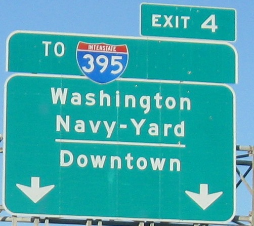
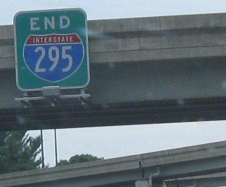
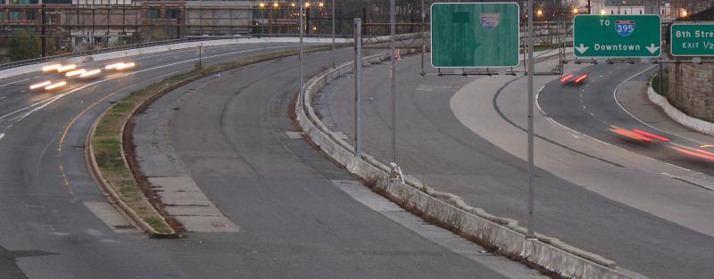
NB at Exit 4, which the sign tells you is the end of I-295. There's certainly no hint of it on the older advance sign or the hastily constructed exit sign, and DC 295 isn't even signed from the pull-through BGS at the exit (third photo). So if you've come to the end of I-295 at the bubble shield, why are there so many more photos on this page? It's because I-295 actually - well, at least when I made this page - exited here and crossed the Anacostia River toward city center. DC 295 does begin here, but I-295 did not end. Therefore, my photos continue. However, this was since redesignated as the actual end of I-295, bringing secret I-695 across the bridge and exposing it to the world, and leaving the stub toward Pennsylvania Avenue unnumbered. I prefer the former arrangement because it provides a history lesson. A little note here - the interchange was since reconstructed to provide all movements, after decades of trying to give traffic from the north an all-freeway route into the city (mostly centered around extending the PA Ave. stub freeway across the river). These signs are now inaccurate, as the reconfiguration left I-695 WB as a left exit and the "mainline" to DC 295 over to the right. Let me explain more of the story as this page continues to unfold.
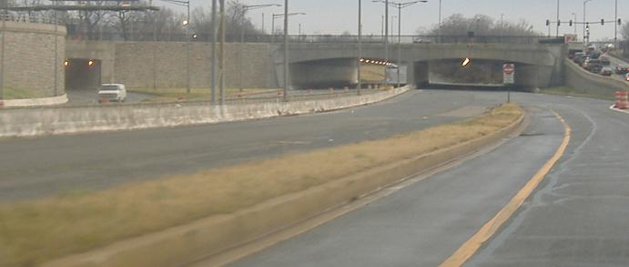
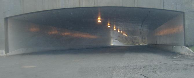
Hard to tell which sign is older, actually. This is the end of the 11th St. Bridge just after I-295 SB left to the right.
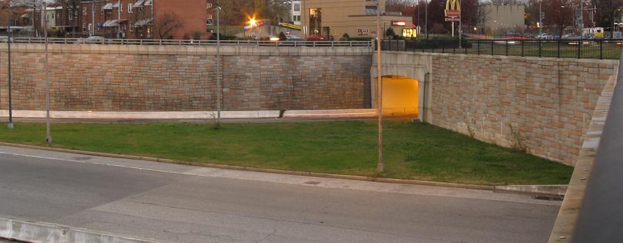
The 11th St. Bridge NB (actually a separate bridge that aligns with 12th St.), at the RFK Stadium access road. Notice how the freeway suspiciously stops being signed as I-295, and how the lane stripes don't reflect there being an actual exit to the left, but rather...

...a STUB! This is looking down the onramp from the RFK Stadium access road to I-295 SB (the bridge), which is striped as if not in use, pebble-strewn as if not in use, but in fact very much in use (but only for games at the stadium). Now the shocker: this would have been I-295!
The remainder of the photos on this page are from the Southeast Freeway stub, aka the Barney Circle Freeway (unofficial name). I-295 would have used this freeway along the Anacostia River, tying into DC 295 around E. Capitol Street and its bridge, completing the missing movements that now prevent traffic from easily getting to and from Washington and DC 295. I-295 would then have ringed around eastern DC, coming back inward at the National Arboretum to meet proposed I-95, which would have continued north into Maryland.
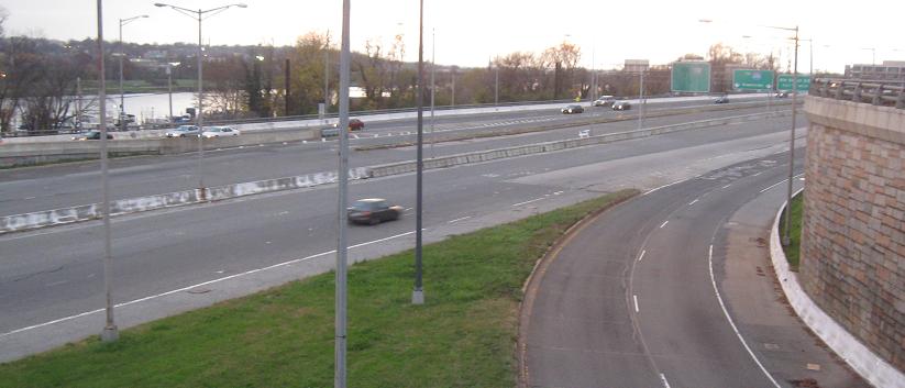
Entering the Barney Circle Freeway from unsigned I-695 EB. In an earlier proposal, I-295 would have continued straight north through neighborhoods, and I-695 would have followed the Southeast Freeway through Barney Circle to at least Capitol Street if not New York Ave./US 50. In these photos, the outer lanes are officially I-695, which would have ended as it merged into I-295 along the ramp I'm taking. The inner lanes have curved around from the 11th St. Bridge, meaning they would be I-295.
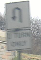
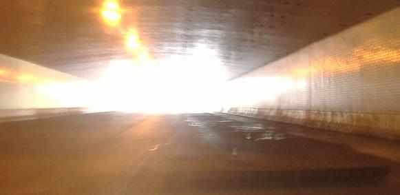
Underneath Pennsylvania Ave., and then a one-of-a-kind Yes U-Turn sign. I'm glad that DC lets traffic legally explore its stub - in fact, I followed another car onto it in the first place.
Looking up toward the RFK Stadium access road.
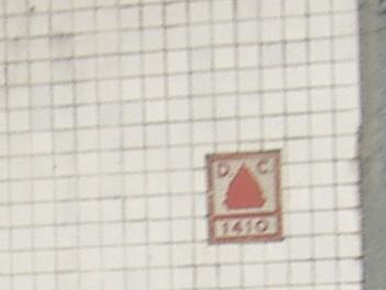
Structural inventory number in the tiled side of the WB underpass.
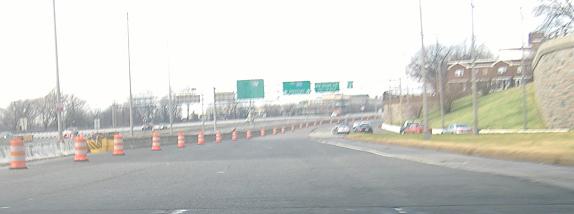
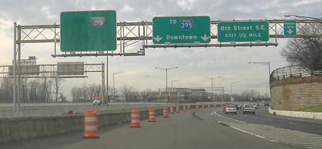
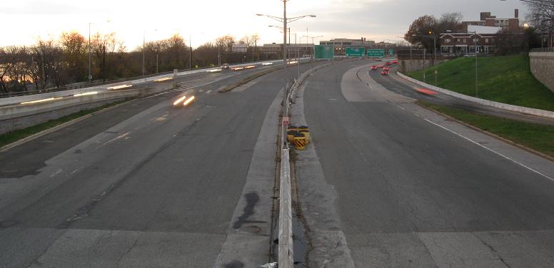
Now heading west toward I-695, with traffic merging in from Pennsylvania Ave. at the beginning of 695. The floating I-295 BGS should not have been edited; it said SOUTH (or TO) I-295 with a down arrow, which is still very much true. It was originally intended to serve through traffic from northern DC to the southeastern neighborhoods.
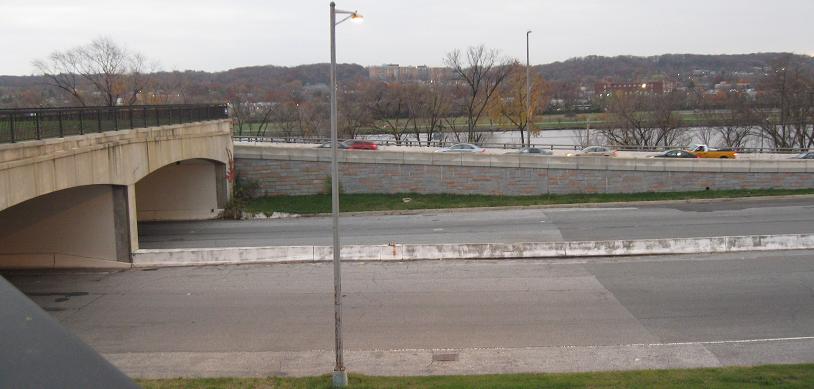
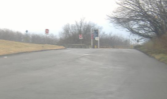
More freeway stub and architecture views from the west side of Barney Circle rotating from south to north.
Onto the rest of I-695, the Southeast Freeway
Onto I-95/495 in Maryland
Onto I-95/495 in Virginia
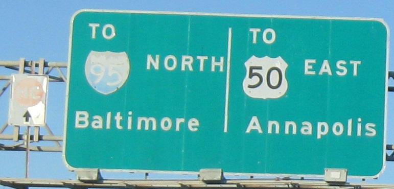
To US 50 in Maryland
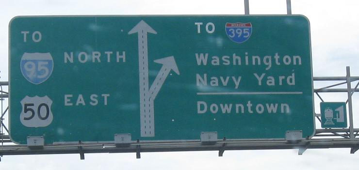
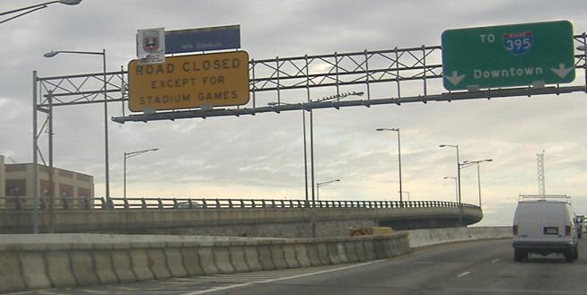
To I-395
Up onto Pennsylvania Avenue
Straight onto DC 295
Back to the DC Meet page
I-295 on Steve Anderson's dcroads.net
Back to DC Roads
Back to Roads