Colorado Roads - US 40
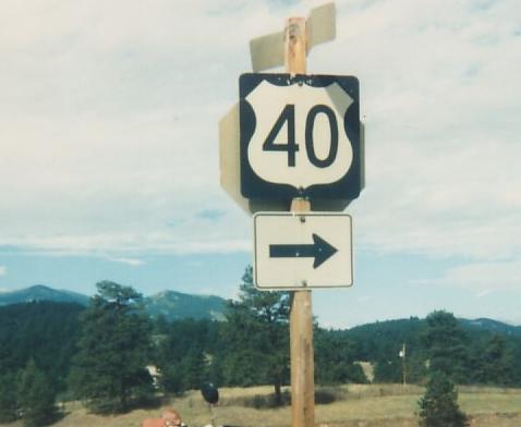
All photos on this page courtesy Michael Summa. The one above was taken in 1988 west of Genesee Park.
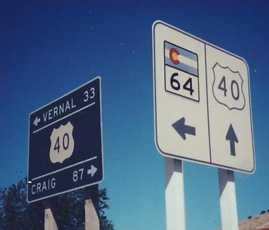
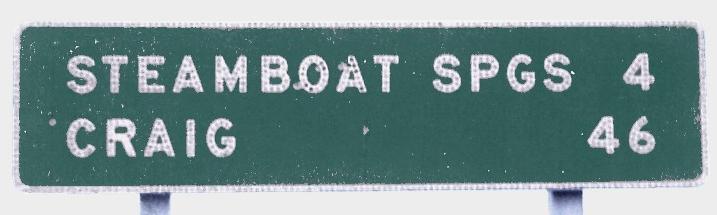
WB from C-13 in Craig in 1984 through Elk Springs to Dinosaur and C-64 NB in 1983. Michael calls these old and new, and while the white sign is certainly older (more than 15 years at this point, since the C-64 shield is patched over a COLORADO 64), the green sign is no spring chicken.
A triplex in the heart of Craig in 1983, now a duplex because C-789 was decommissioned the following year.
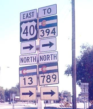
The three directions of US 40 at C-131 in 1983: WB, SB, EB.
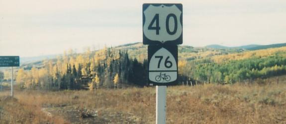
EB at a 1960's wooden sign in 1983 and leaving the C-14 intersection in 1988 - notice that the bike route assigned to US 40 belongs to I-76, and will eventually join US 6 to parallel that highway.
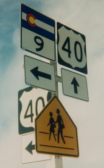
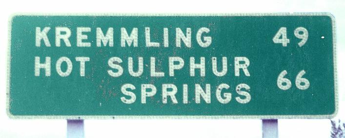
WB into Kremmling and the northern end of C-9 in 1988. The old 40 shields leave room for the US - Colorado was slow to adapt to its removal.
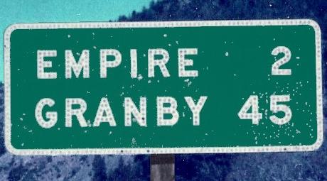
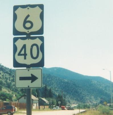
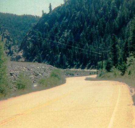
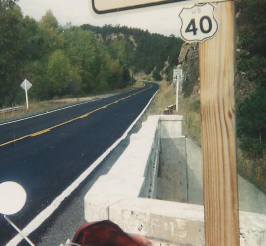
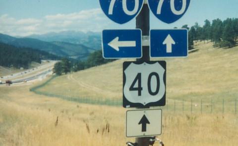
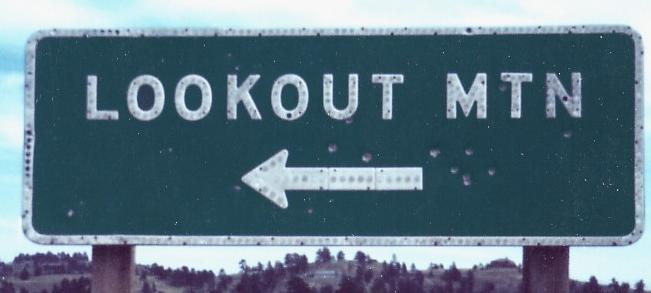
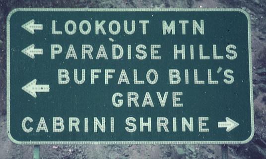
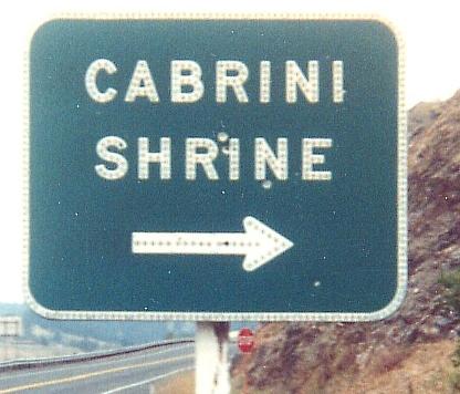
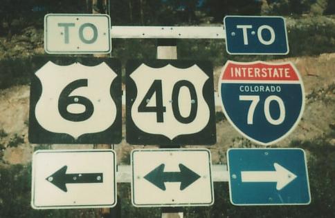
Leaving I-70 at Exit 232 in 1988 and heading to . Why was Empire covered over? The second photo is at the split with old US 6 (which stays with I-70), then followed by the third photo that makes up for it a little bit.
Past Dumont (first, Clear Creek CR 308 EB) to Stanley Rd. west of Idaho Springs, facing east (second) and west (third) along Clear Creek and still in 1988. Michael calls Stanley old US 6/40, but I have reason to doubt. On either side of Stanley Rd., the old 6/40 is on the north side of the river. Would it really have crossed the river twice, or did it stay on the north side of the river and get overlaid by I-70? I report, you decide.
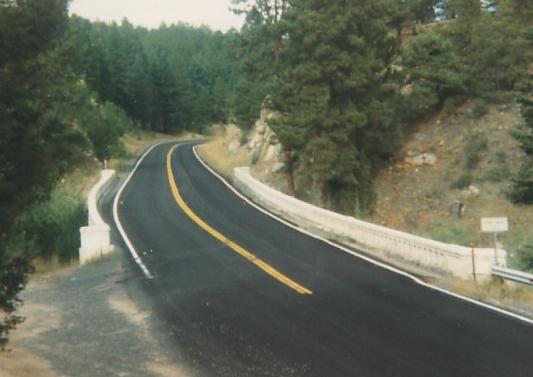
Looking west and east (or else east and west) west of Genesee Park and the header photo. Michael used to hand-cut his own miniature shields, slowly progressing to buying more materials and making larger shields.
 Older shield, C-74 EB, 1988.
WB in Mt. Vernon Canyon, still in 1988, looking at I-70 as US 40 goes down to meet it in the second photo.

Same year, EB in Mt. Vernon Canyon, looking north from I-70 Exit 256 in the second photo.
 Last 1988 photo, WB.
C-8 EB in Morrison at C-74 in the mid-1980's; US 40 is reached by next turning left on C-93 to C-26, which picks up US 40 from the side of I-70. This sign predates I-70.
One of a few streets on the north side of US 40 between C-26 and US 6, and US 40 EB at either that or another street, both in 1978.
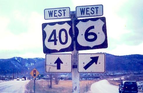
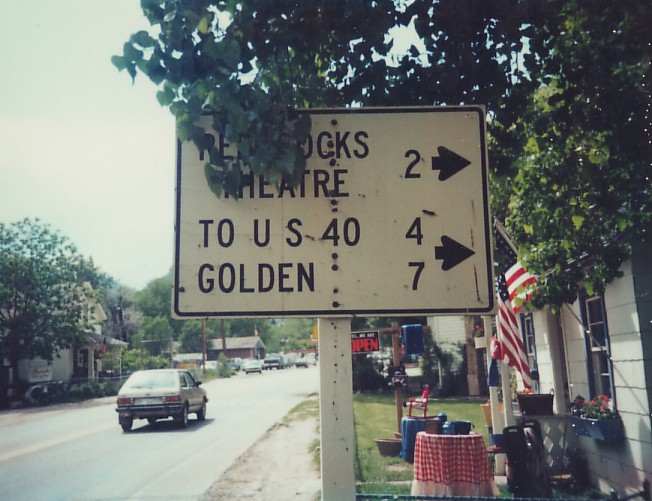
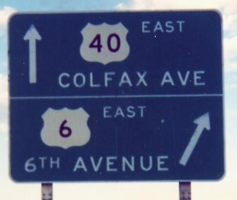
EB, unknown year, and WB in 1979, Golden. Michael says the first photo is Lakewood, but Colfax Ave. only curves in Golden. The second photo is not a multiplex breakup, just a skewed intersection.
 Other direction, late 1980's.
US 40 WB leaving US 385 in Cheyenne Wells, and the two of them together EB/NB, in 1985. The EB distance sign is dedicated to 385 though.
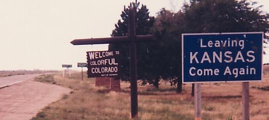 1985. More on the Kansas page.
Onto US 40/287
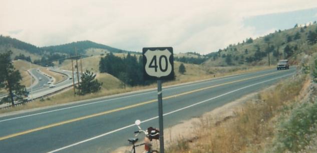
Onto I-70 and 70/US 40
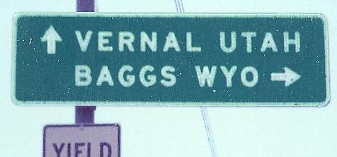
Into Utah on US 40
Into Kansas on US 40
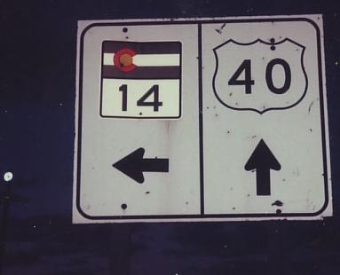
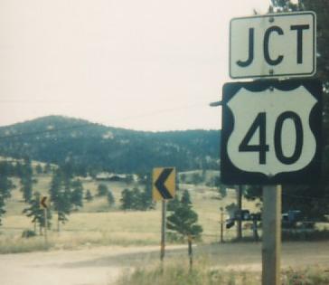
Onto C-14
Onto C-9
Onto US 6
Back to Colorado Roads
Back to Roads