California Roads - US 66/old US 395 - 2
Former US 66/US 395, page 2
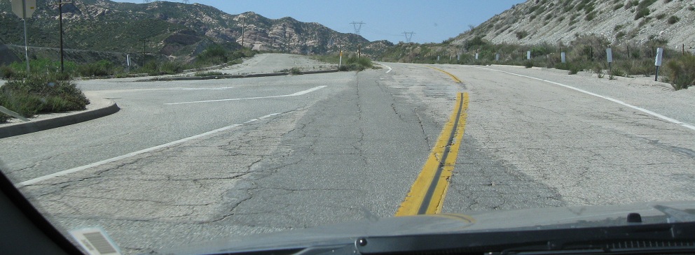
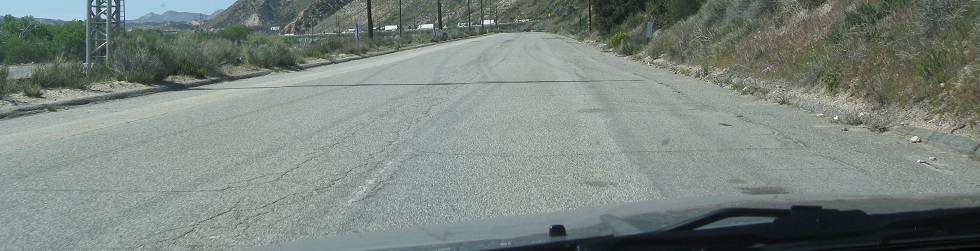
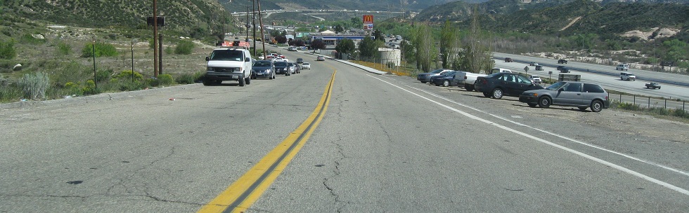
All photos are eastbound unless I say otherwise.
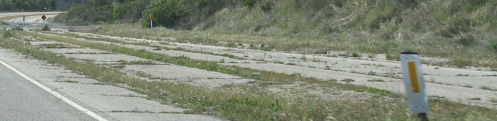
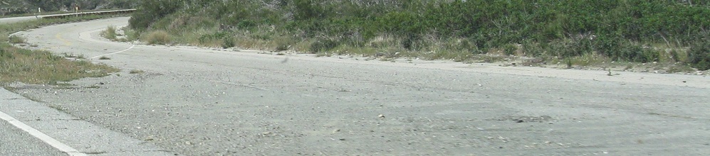
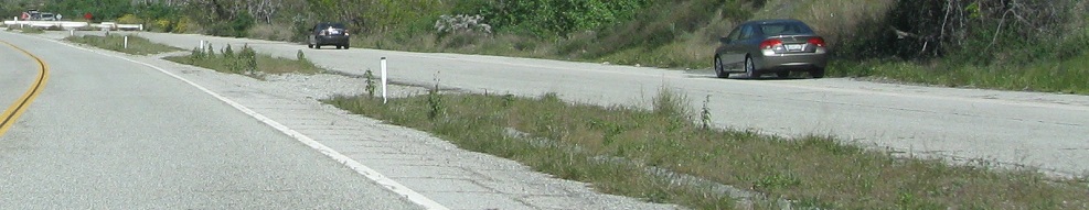
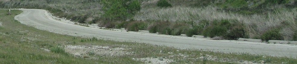
Around just this one curve, the old EB/NB lanes have a double yellow stripe down the middle. They must have been pressed into use temporarily at some point not too long ago. Then again, with the way the California sun preserves old paint, who knows how long it's been?
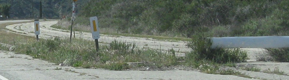
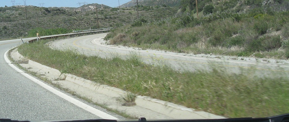
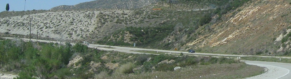
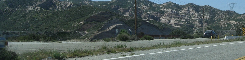
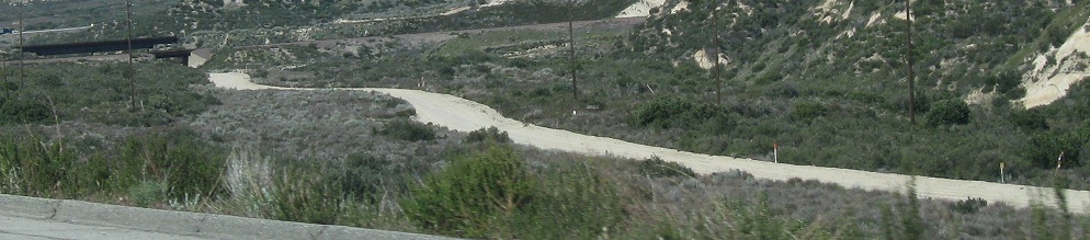
A glance westward at the curvy alignment.
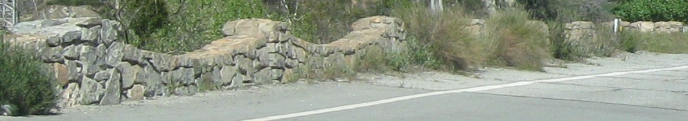
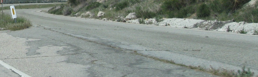
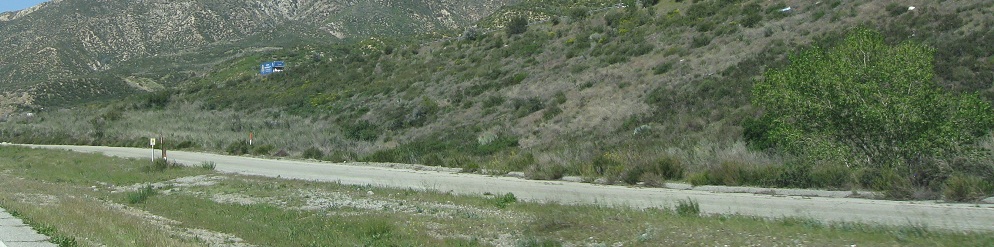
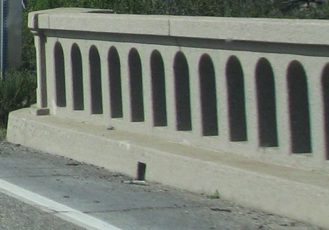
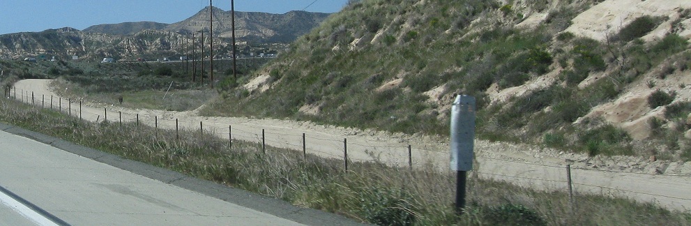
The decorative wall adorns the right edge of the WB/SB side. I'm amused that some people have found a use for the old EB/NB lanes.
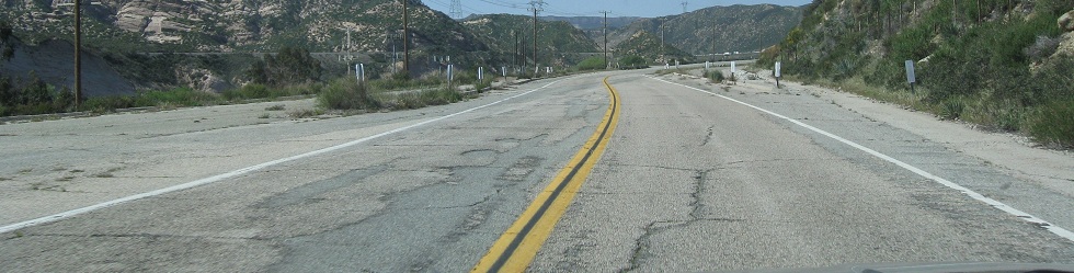
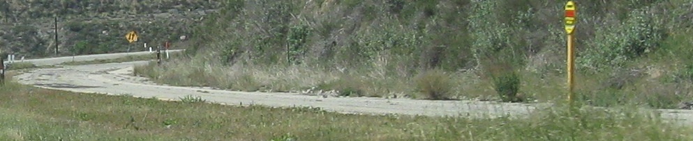
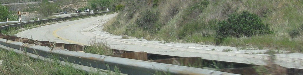
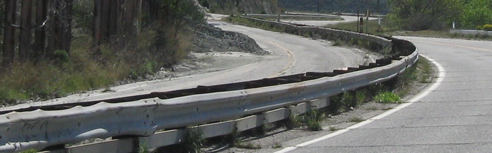
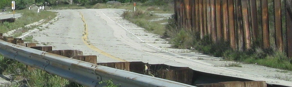
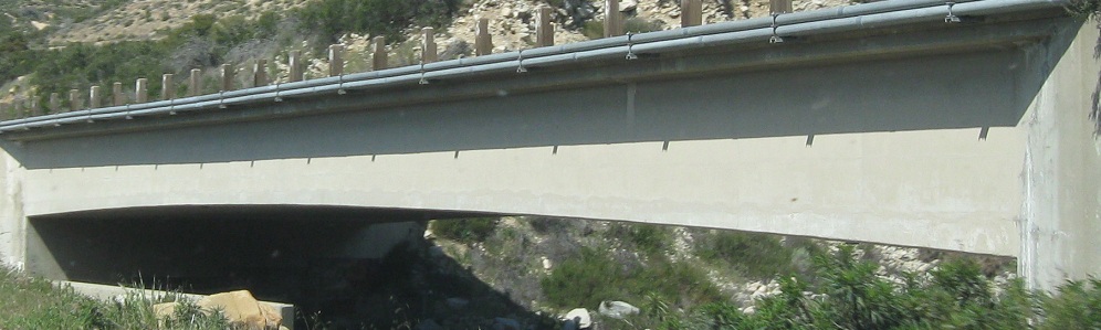
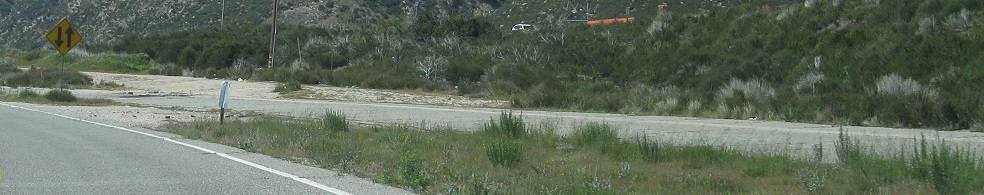
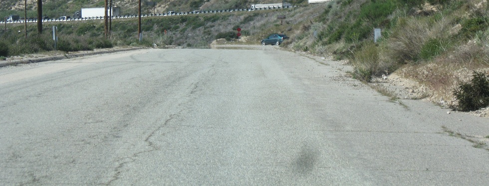
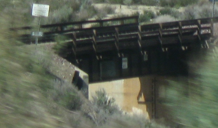
The in-service side of the road briefly switches over to the EB/NB side and back to the WB/SB side again. Why did it ever flip? Maybe this is the same reason the prior section had old yellow stripes on the EB/NB lanes. Maybe it's related to the condition of the bridge in the background of the penultimate photo, and once that bridge is replaced, traffic will be restored onto the continuous SB side, or maybe the bridge will be left to crumble and traffic will remain as it is now.
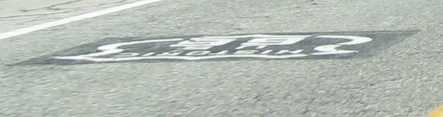
Black on white, or white on black? The fact that these EB and WB shields (respectively) are right next to each other heightens the contrast and forces the issue.
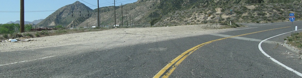
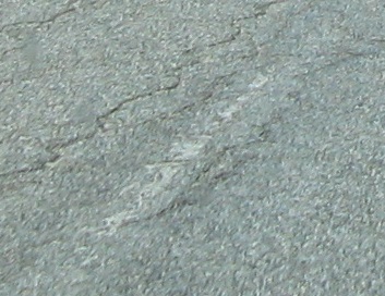
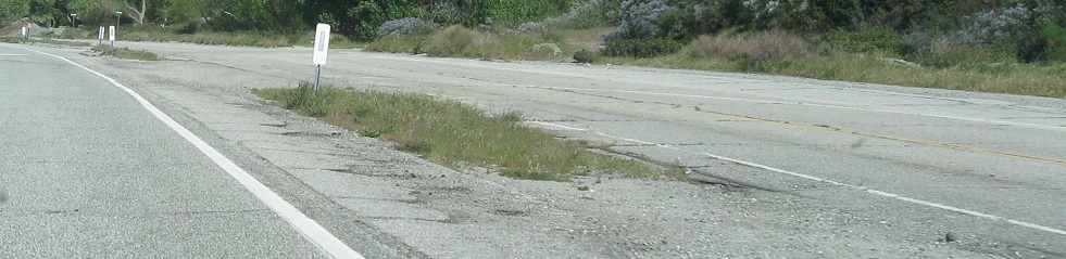
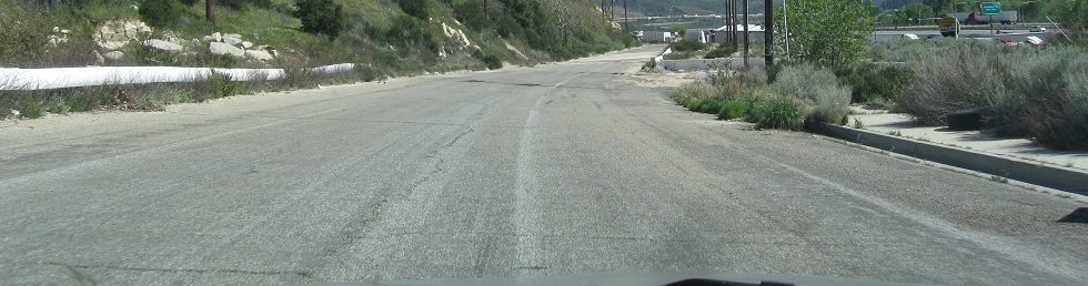
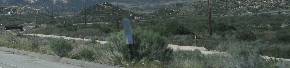
As the through road curves over to get on I-15, I continue on the straight-ahead stub until it gets absorbed by the I-15 embankment. Having not been used in awhile, this little road still has a faint center stripe remnant. Given that the old four-lane has ended by this point, I'd believe it's an old white center stripe from before the use of yellow.
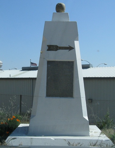
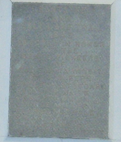
Up I-15 to Exit 131, where there's a dead end heading south (former US 66 WB/US 395 SB) from CA 138. At the end of the road is a monument that I did my best to make legible. I can see "in honor" and "1917," and the first lines are "Santa Fe and Salt Lake Trail." The full text after that: "1849 - Erected in honor of the brave pioneers of California in 1917 by pioneers," followed by a list of names. Sorry my photo couldn't do better, but it was right into the rising sun. (So much for this being WB, if it faces toward the east.)
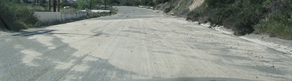
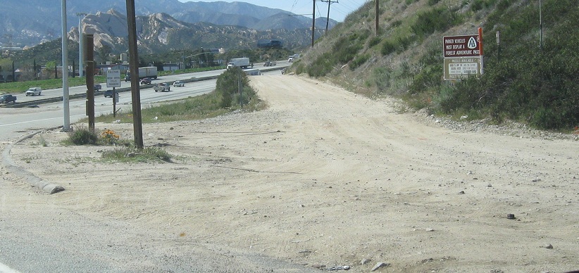
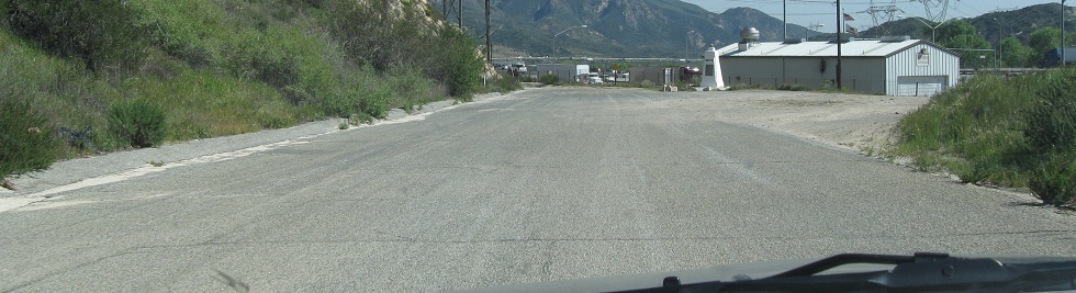
Back east and looking across CA 138, where there's just a dirt trail continuing the route of former US 66/395. (Actual US 395 now begins just to the north in Hesperia.) I would have taken it, but it peters out after crossing under I-15 to the wrong side of the road, so there's definitely no way back to continue EB/NB through Cajon Pass.
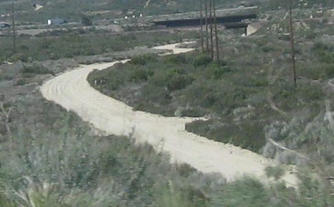
The old road continues alongside I-15, with a series of dirt railroad underpasses before it crosses under.
Continue east on old US 66 to Business I-15, Victorville
North to modern US 395
Back west/south on former US 66/395
Back to former US 66/395 main page
Non-roads photos from old US 66/395
Onto I-15
Back to California Roads
Back to Roads