California Roads - I-5 SB - N. of Violin Summit
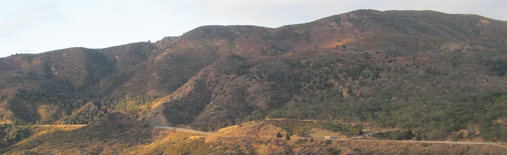
 north of Violin Summit
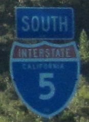
The top of the state doesn't get nice things like plurals.
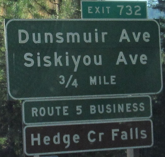
The last photo is at the base of the Exit 732 ramp. Besides needing to be replaced, the sign needs a right arrow to Dunsmuir Ave.
The left side of the Exit 730 gantry, the button copy side. This ramp does have the arrows.
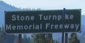
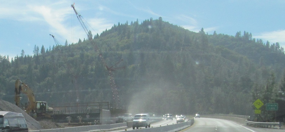
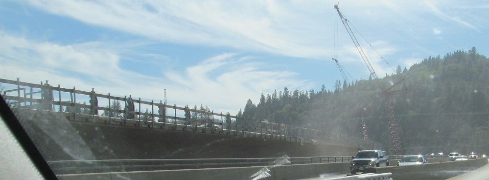
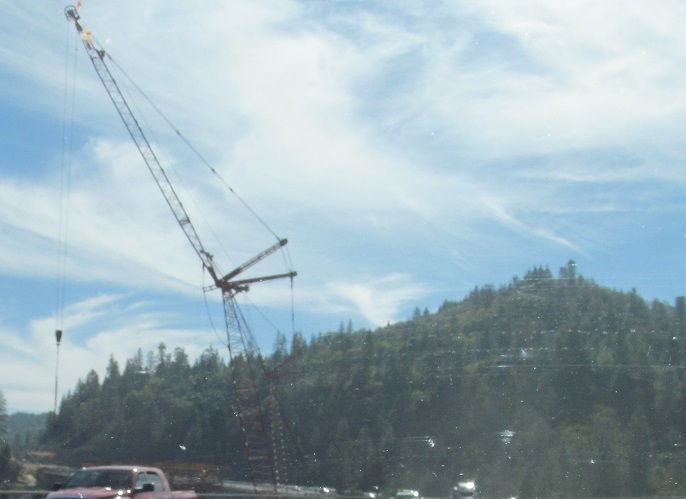
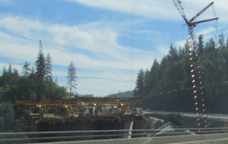
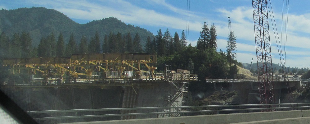
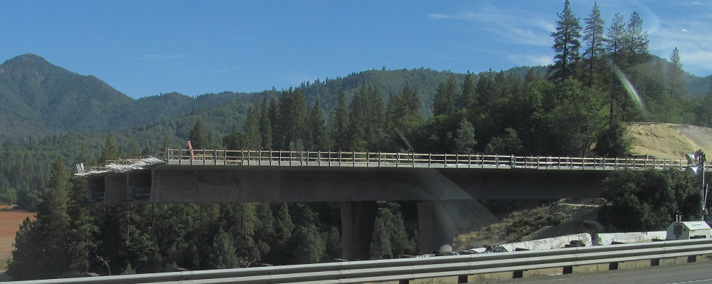
In 2014, I-5 is being widened over the arm of Shasta Lake south of Antlers to provide a new, wider bridge with shoulders and an extended SB climbing lane.
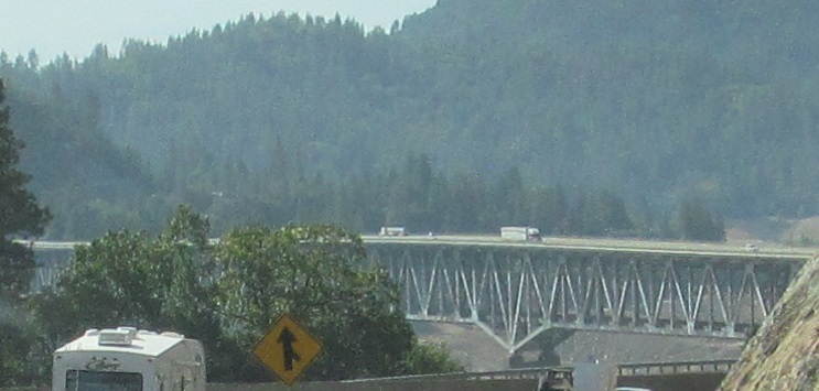
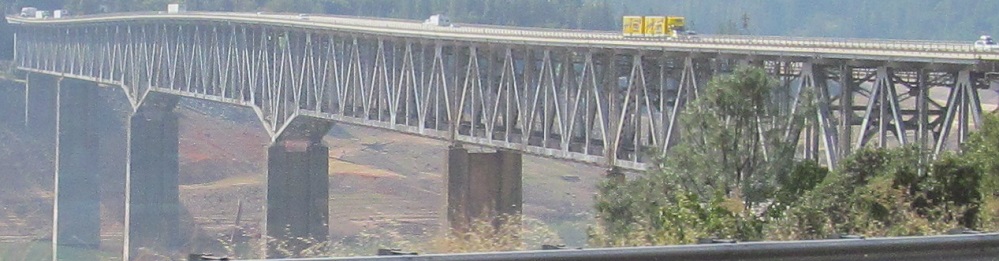
I-5 again crosses Shasta Lake, this time the main body of the lake south of O'Brien on the VFW Memorial Bridge, and this time featuring the bridge truss instead of construction.
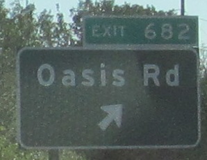
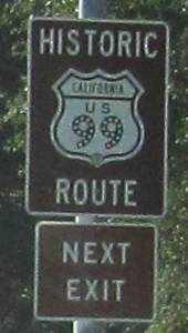
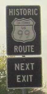
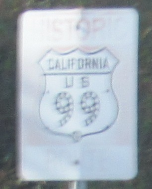
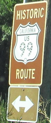
Historic US 99 is reached from Exits 681B (CA 273) and 651 (Business I-5, Red Bluff). And many other exits.
Continuing south without CA 99. The Business route gets a normal shield but the regular Interstates must suffer.
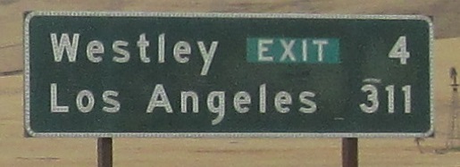
Is Westley that large or important that Caltrans felt the need to later specify it's only the exit in 4 miles? In case you thought you'd be reaching the grand city of Westley itself. Everything at Exit 441 says it's "Westley" so that should be good enough.
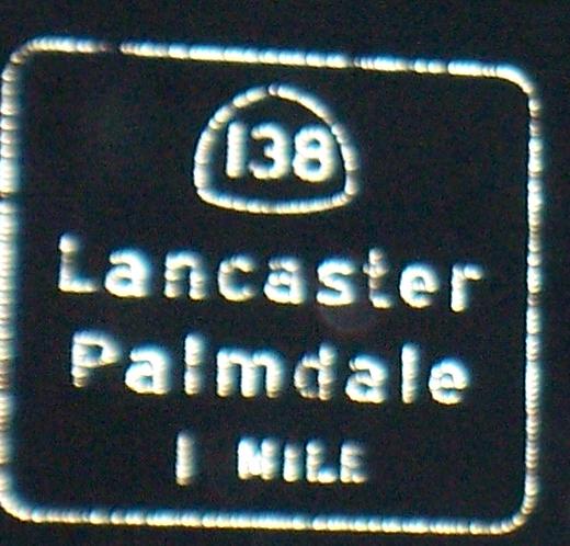
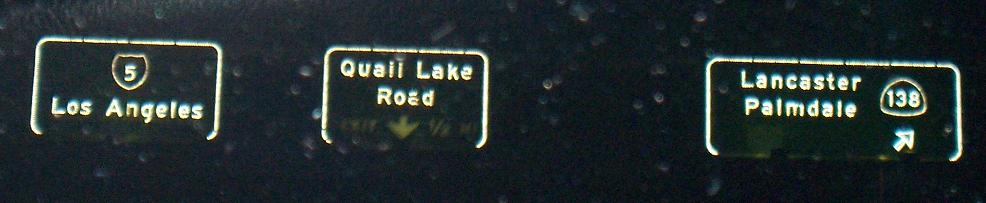
Picking up much farther south at the end of CA 99 and on down the Exit 207 ramp.
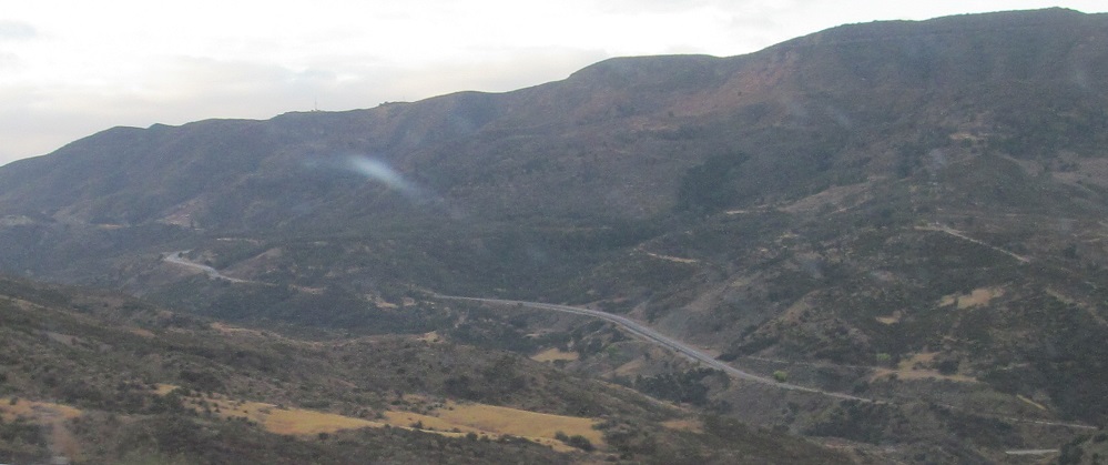
First two photos courtesy Matt Kleiman, last two photos looking west at the Whitaker Summit alignment of old US 99, "Golden State Highway" (a name that I-5 has also adopted in parts as US 99's successor). It is the second US 99 alignment in this area, using modern grading and wide lanes, submerged at its north end under Pyramid Lake in 1972.
CA 99 SB and I-5/CA 99 SB
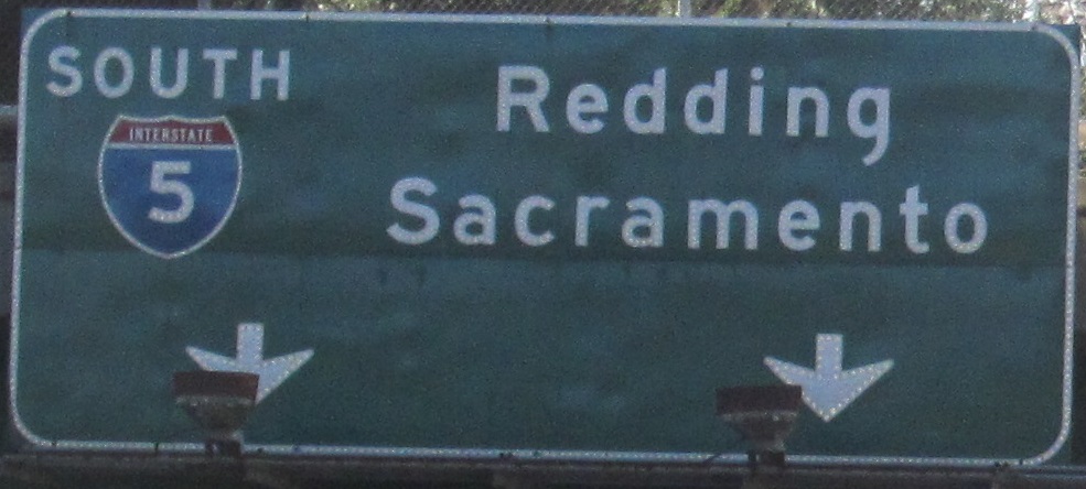
Continue south on I-5 SB
Over to the NB lanes
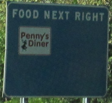
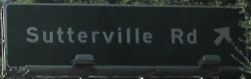
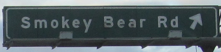
Exit 732 to Business I-5, Dunsmuir
Back to I-5 main page
Into Oregon on I-5
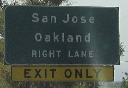
Onto Business I-80
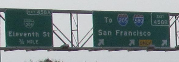
Exit 458 to I-205 and Business I-205
Exit 458B to I-580
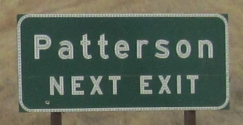
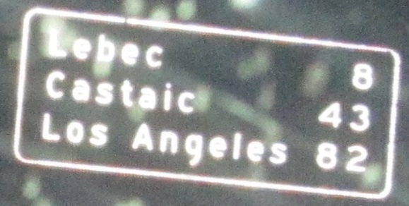
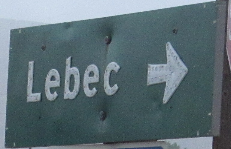
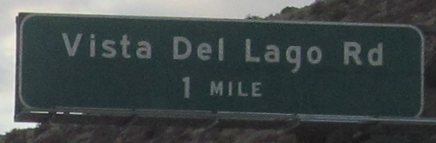
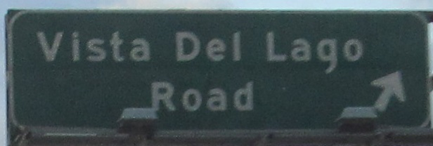
(Exit 207) to Lebec
Over to old US 99, Golden State Hwy.
Back to California Roads
Back to Roads